Leekbrook
Settlement in Staffordshire Staffordshire Moorlands
England
Leekbrook
Leekbrook is a small village located in the county of Staffordshire, England. It is situated approximately 2 miles east of the town of Leek. The village is surrounded by picturesque countryside and is known for its tranquil setting.
Leekbrook has a population of around 500 residents, and it offers a close-knit community atmosphere. The village is primarily residential, with a mix of traditional cottages and modern housing developments. The architecture in Leekbrook is diverse, reflecting the village's history.
Despite its small size, Leekbrook offers a range of amenities for its residents. There is a local primary school, providing education for children in the area. The village also has a post office, a convenience store, and a pub, making it self-sufficient for everyday needs.
For recreational activities, residents can enjoy the surrounding countryside, which offers ample opportunities for walking, cycling, and other outdoor pursuits. The nearby Peak District National Park is a popular destination for nature enthusiasts and offers stunning landscapes.
Leekbrook is well-connected to neighboring towns and cities. The A523 road runs through the village, providing access to Leek and the nearby city of Stoke-on-Trent. Public transportation is also available, with bus services connecting the village to other areas in Staffordshire.
Overall, Leekbrook is a peaceful and picturesque village, offering a close community and easy access to amenities and natural beauty.
If you have any feedback on the listing, please let us know in the comments section below.
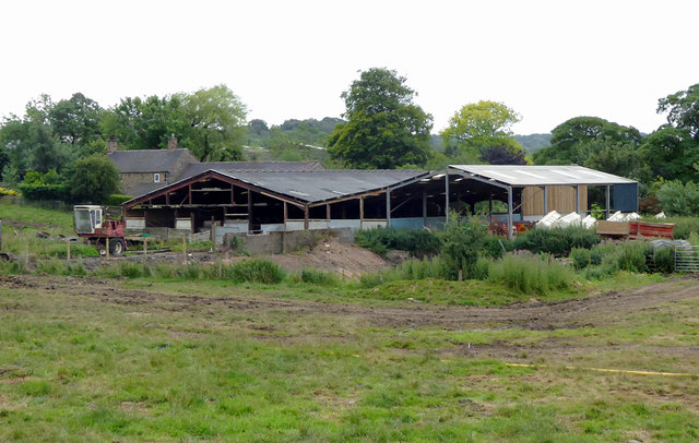
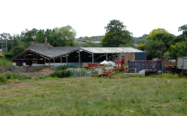
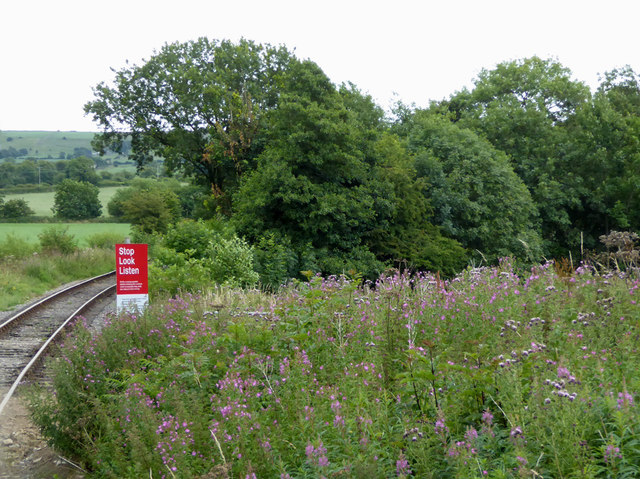
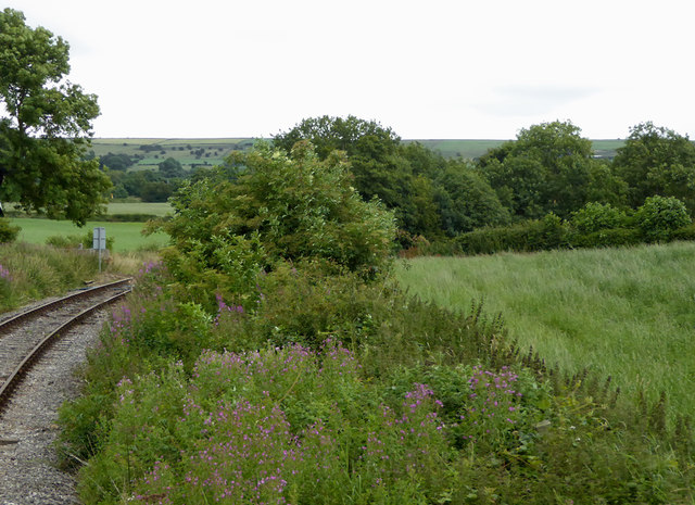
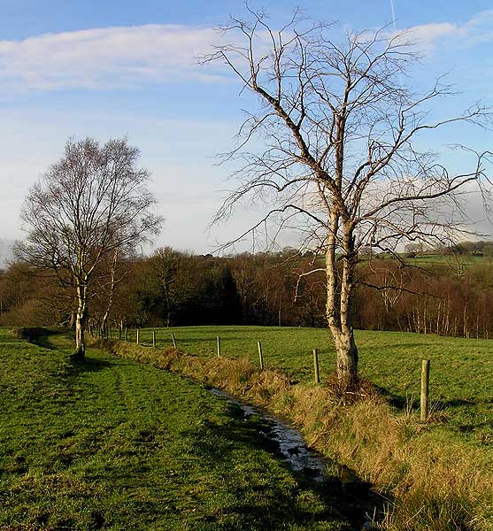
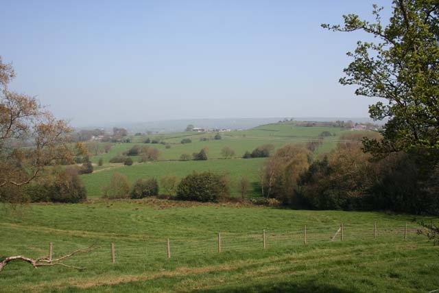
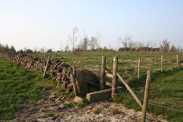
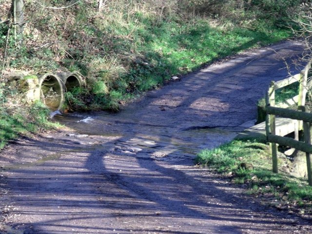
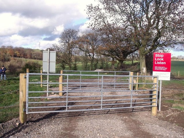
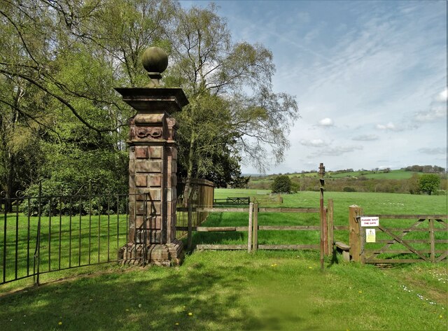
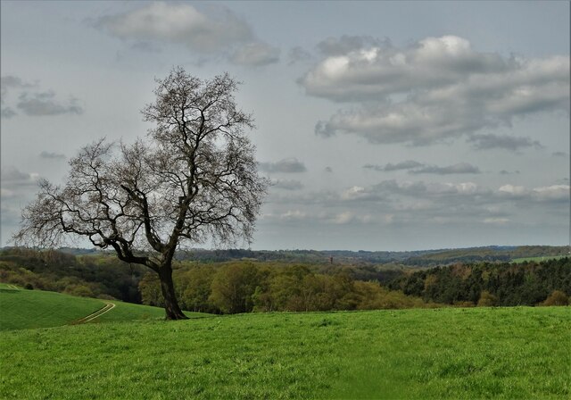
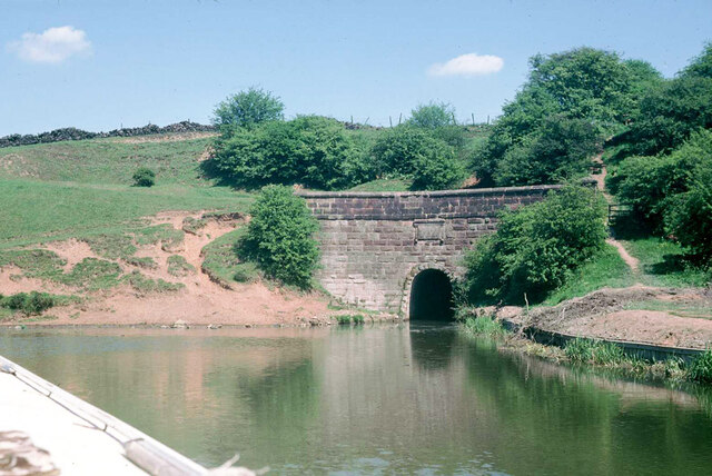
Leekbrook Images
Images are sourced within 2km of 53.082213/-2.020868 or Grid Reference SJ9853. Thanks to Geograph Open Source API. All images are credited.


Leekbrook is located at Grid Ref: SJ9853 (Lat: 53.082213, Lng: -2.020868)
Administrative County: Staffordshire
District: Staffordshire Moorlands
Police Authority: Staffordshire
What 3 Words
///badminton.physics.scarred. Near Cheddleton, Staffordshire
Nearby Locations
Related Wikis

Leek Brook railway station
Leek Brook railway station is a passenger station in Staffordshire, Great Britain. == History == Leek Brook railway station was opened by the North Staffordshire...

St Edwards Hospital tramway
The St Edward's Hospital tramway was a tramway built for Staffordshire County Council for the construction of the St Edward's County Mental Asylum at Cheddleton...

St Edward's Hospital
St Edward's Hospital was a mental health facility at Cheddleton in Staffordshire, England. The hospital closed in 2002 and was converted into apartments...
Barnfields
Barnfields is a village in Staffordshire, England. The population at the 2011 census can be found under the Weeping Cross Ward of Stafford
Leek (Churnet Valley) railway station
Leek (Churnet Valley) railway station is the proposed and future terminus of the Churnet Valley Railway and is currently awaiting construction. It will...
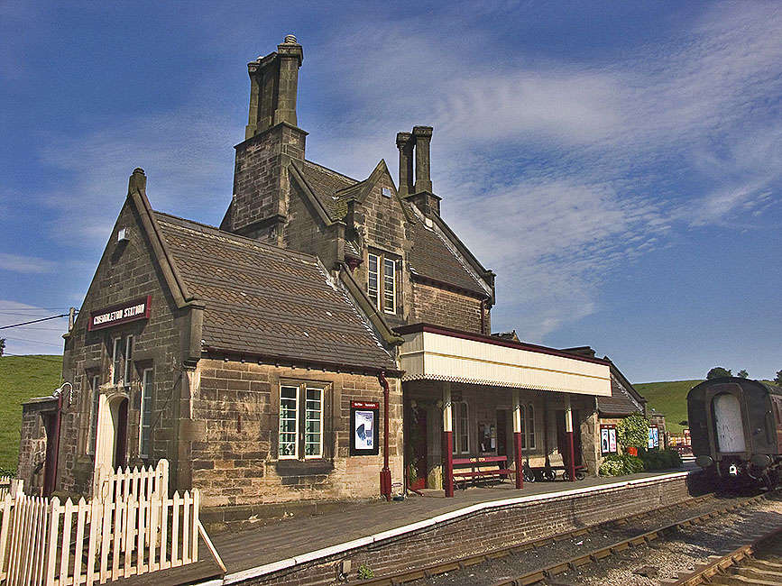
Cheddleton railway station
Cheddleton railway station is a former passenger railway station of the North Staffordshire Railway (NSR) and is now a preserved station on the Churnet...

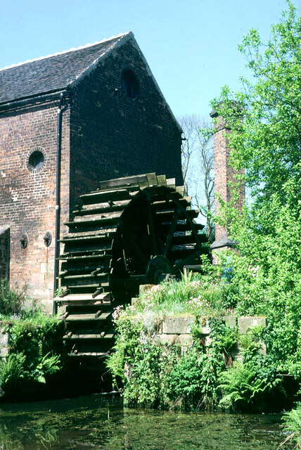
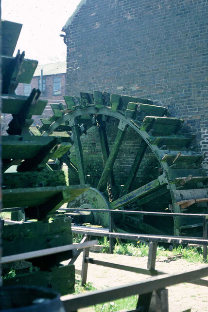
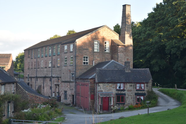
Cheddleton Flint Mill
Cheddleton Flint Mill is a water mill situated in the village of Cheddleton in the English county of Staffordshire. The mill race takes water from the...

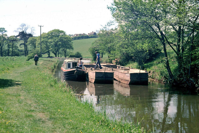
Churnet Valley Railway
The Churnet Valley Railway is a preserved standard gauge heritage railway in the Staffordshire Moorlands of Staffordshire, England. It operates on part...
Nearby Amenities
Located within 500m of 53.082213,-2.020868Have you been to Leekbrook?
Leave your review of Leekbrook below (or comments, questions and feedback).