Leek Wootton
Settlement in Warwickshire Warwick
England
Leek Wootton
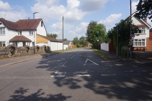
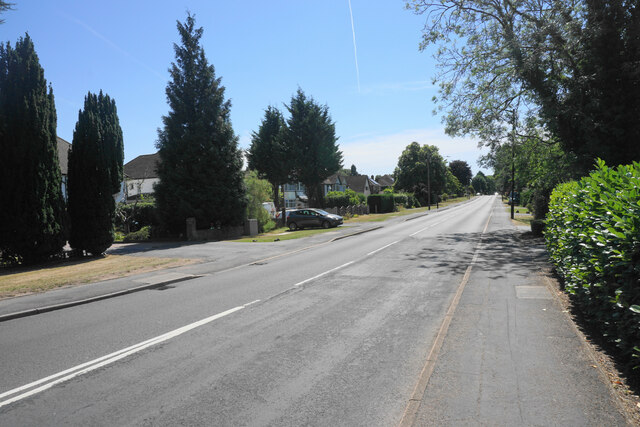
Leek Wootton is a charming village located in the county of Warwickshire, England. Situated approximately 6 miles south of the historic town of Warwick, it boasts a picturesque setting amidst rolling countryside. The village is nestled along the B4103 road, providing easy access to nearby towns and cities.
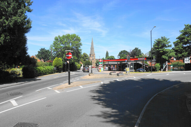
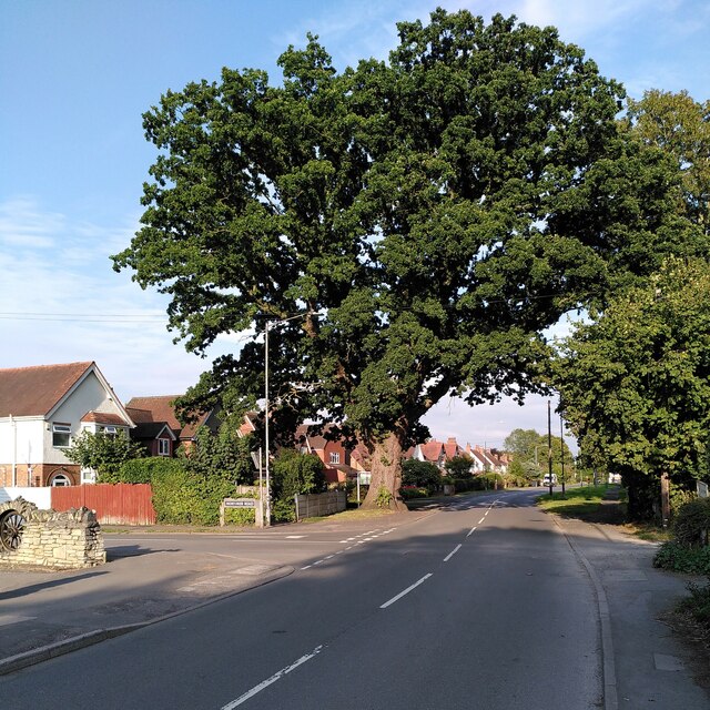
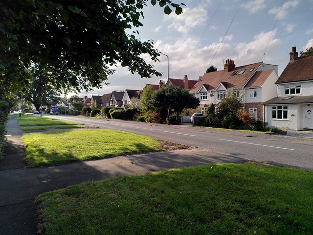
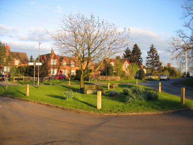
With a population of around 1,500 residents, Leek Wootton exudes a tranquil and close-knit community atmosphere. It features a mix of architectural styles, ranging from traditional thatched cottages to more modern residential developments. The village is also home to the Grade II listed All Saints' Church, which dates back to the 12th century and stands as a prominent landmark.
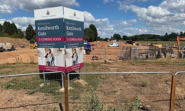
Leek Wootton benefits from its proximity to various amenities and facilities. The village is served by a primary school, ensuring local families have access to quality education. Additionally, it hosts a village hall, providing a venue for community events and activities. The nearby towns of Warwick and Kenilworth offer a wider range of amenities, including shops, restaurants, and leisure facilities.
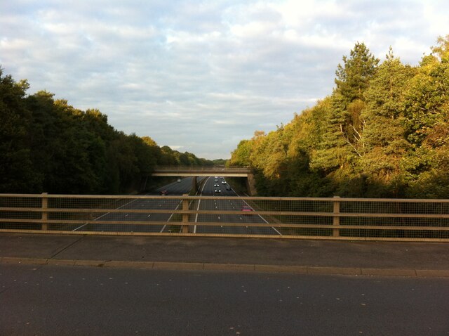
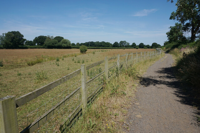
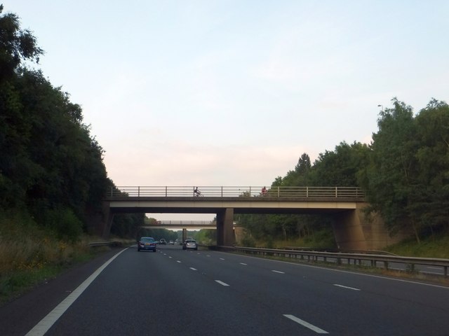
For nature enthusiasts, Leek Wootton offers ample opportunities to explore the surrounding countryside. The village is located close to the Warwickshire Greenway, a former railway line that has been transformed into a scenic walking and cycling trail. This provides residents with a fantastic way to enjoy the outdoors and admire the beautiful Warwickshire landscape.
Overall, Leek Wootton is a quintessential English village with its idyllic setting, strong community spirit, and convenient access to both rural and urban amenities.
If you have any feedback on the listing, please let us know in the comments section below.
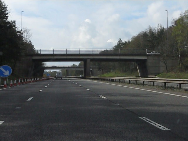
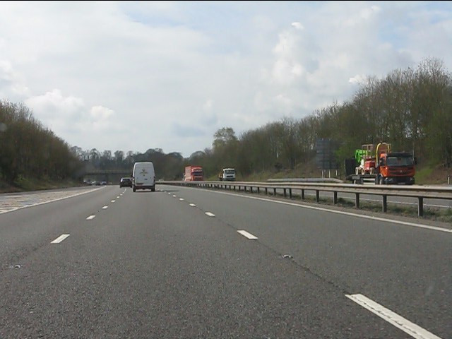
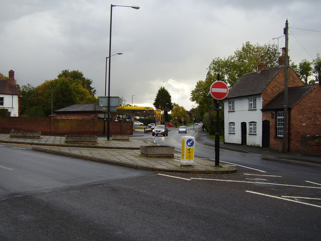
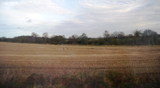
Leek Wootton Images
Images are sourced within 2km of 52.318391/-1.5768306 or Grid Reference SP2869. Thanks to Geograph Open Source API. All images are credited.

Leek Wootton is located at Grid Ref: SP2869 (Lat: 52.318391, Lng: -1.5768306)
Administrative County: Warwickshire
District: Warwick
Police Authority: Warwickshire
What 3 Words
///degree.giving.broom. Near Leek Wootton, Warwickshire
Nearby Locations
Related Wikis

Leek Wootton
Leek Wootton is a village and former civil parish, now in the parish of Leek Wootton and Guy's Cliffe, in the Warwick district, in the county of Warwickshire...
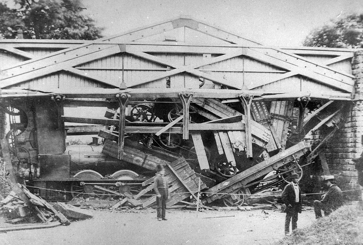
Wootton bridge collapse
The Wootton bridge collapse occurred on 11 June 1861, when the rail bridge over the road between Leek Wootton and Hill Wootton in Warwickshire collapsed...

Leek Wootton and Guy's Cliffe
Leek Wootton & Guy's Cliffe is a civil parish in the Warwick District of Warwickshire, England. It was created when the smallest parish in England, Guy...
Old Milverton
Old Milverton is a hamlet east of Warwick and north west of Leamington Spa in Warwickshire, England, and situated in a bend of the River Avon. The population...
Warwick International School of Riding
The Warwick International School of Riding is a school of equitation (horsemanship), located just north of Warwick, Warwickshire, England. The school caters...
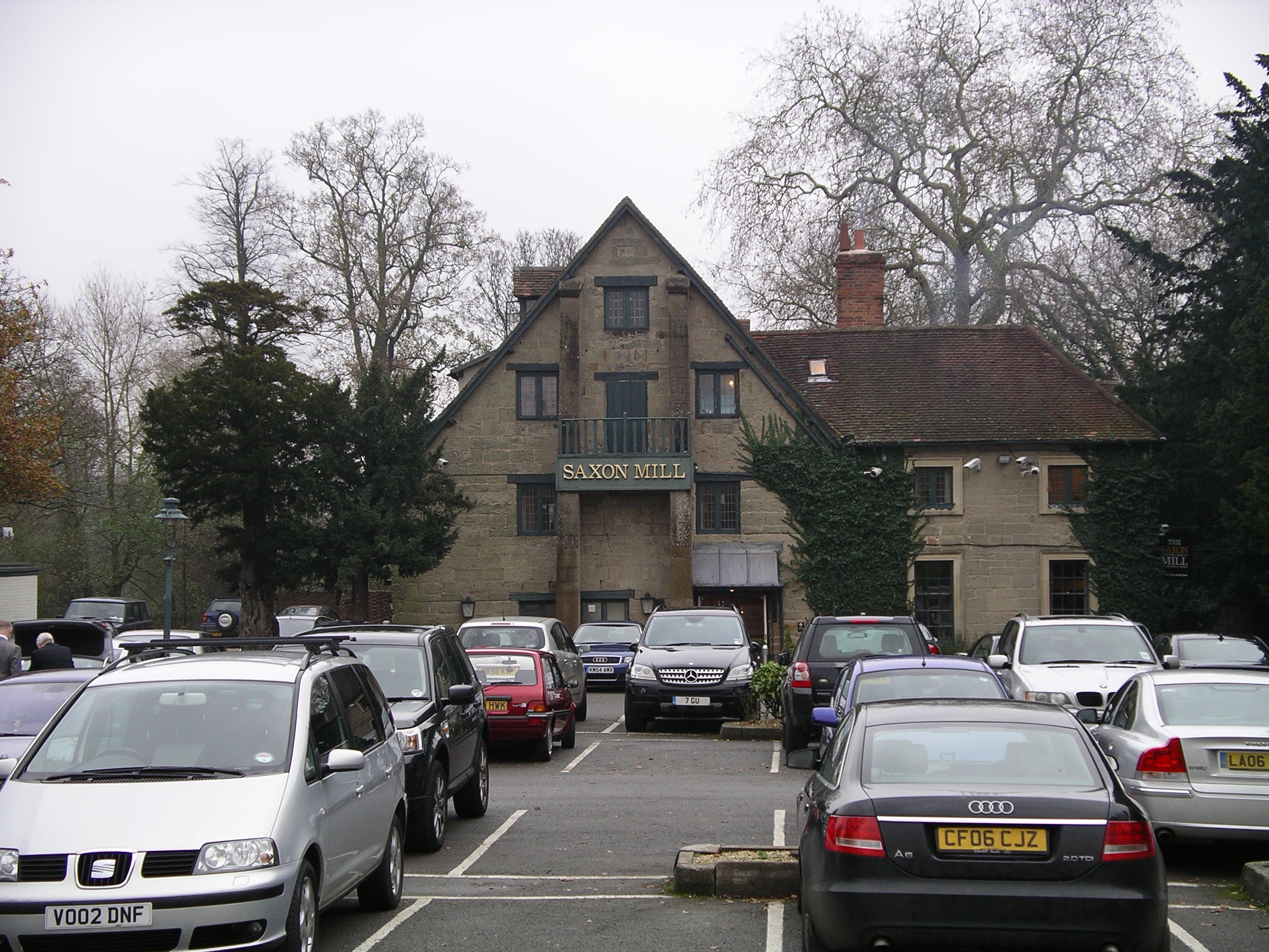
Saxon Mill
The Saxon Mill is a former mill at Guy's Cliffe, Warwickshire, England, situated about one mile northeast of the town of Warwick. It is now a restaurant...

Guy's Cliffe
Guy's Cliffe (variously spelled with and without an apostrophe and a final "e") is a hamlet and former civil parish on the River Avon and the Coventry...
Warwick Rural District
Warwick Rural District was a rural district of Warwickshire, England. It was created in 1894, and covered an area around, but not including, Warwick. It...
Nearby Amenities
Located within 500m of 52.318391,-1.5768306Have you been to Leek Wootton?
Leave your review of Leek Wootton below (or comments, questions and feedback).