The Lunch
Wood, Forest in Warwickshire Warwick
England
The Lunch
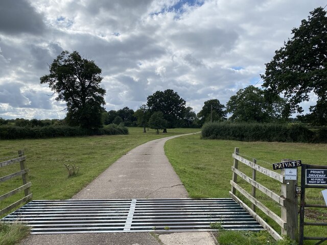
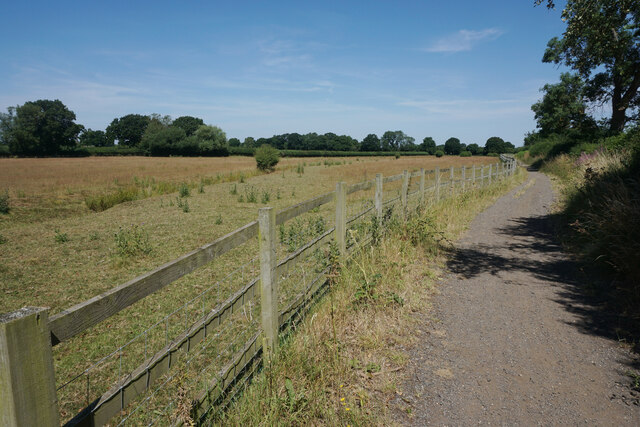
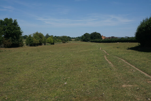
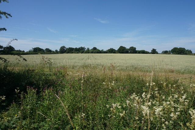
The Lunch, located in Warwickshire, is a beautiful woodland area known for its serene and peaceful atmosphere. The Lunch is part of the wider Warwickshire Forest and is a popular destination for nature lovers and outdoor enthusiasts.
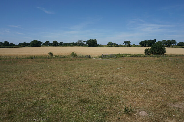
Covering an area of approximately 100 acres, The Lunch is characterized by its dense woodlands, towering trees, and lush vegetation. The forest is home to a wide variety of plant and animal species, making it a haven for wildlife enthusiasts and photographers. Visitors can expect to see a range of bird species, small mammals, and even the occasional deer roaming freely in the woodland.
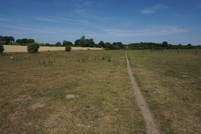
The Lunch offers numerous walking trails and paths, allowing visitors to explore the forest at their own pace. These trails cater to all levels of fitness and are suitable for families, couples, or solo adventurers. The well-marked paths guide visitors through the picturesque woodland, offering breathtaking views and opportunities for peaceful reflection.
For those seeking a more adventurous experience, The Lunch also offers opportunities for cycling, horseback riding, and picnicking. There are designated picnic areas with benches and tables, providing the perfect spot to relax and enjoy a packed lunch amidst nature's beauty.
The Lunch is easily accessible, with ample parking facilities and well-maintained amenities. The forest is open year-round, with different seasons offering unique experiences. From the vibrant colors of autumn to the fresh greenery of spring, The Lunch is a place of natural wonder that captivates visitors throughout the year.
If you have any feedback on the listing, please let us know in the comments section below.
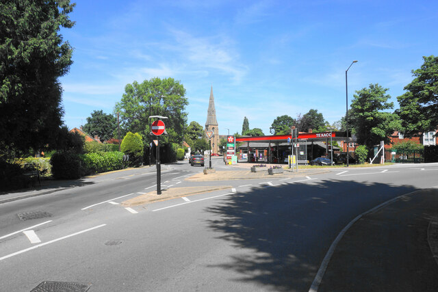
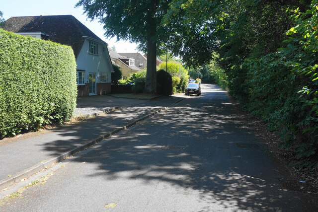
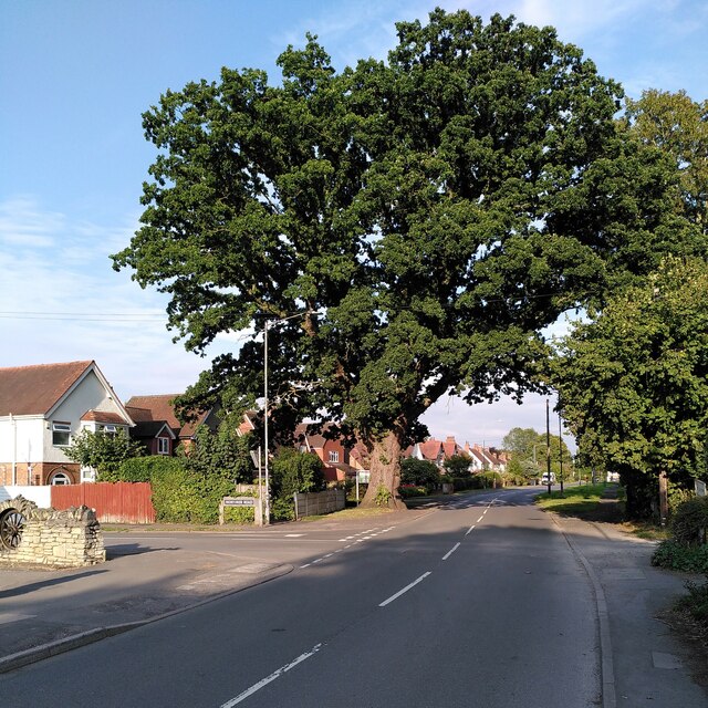
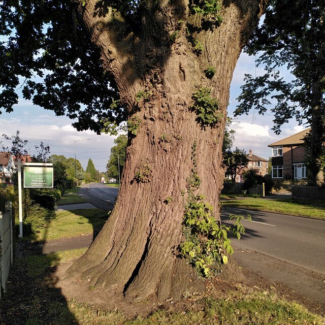
The Lunch Images
Images are sourced within 2km of 52.321547/-1.5870853 or Grid Reference SP2869. Thanks to Geograph Open Source API. All images are credited.

The Lunch is located at Grid Ref: SP2869 (Lat: 52.321547, Lng: -1.5870853)
Administrative County: Warwickshire
District: Warwick
Police Authority: Warwickshire
What 3 Words
///pocket.rainwater.townhouse. Near Leek Wootton, Warwickshire
Nearby Locations
Related Wikis

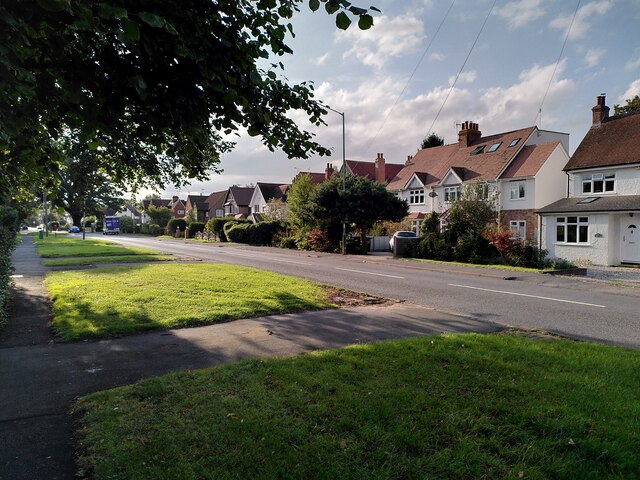
Leek Wootton
Leek Wootton is a village and former civil parish, now in the parish of Leek Wootton and Guy's Cliffe, in the Warwick district, in the county of Warwickshire...

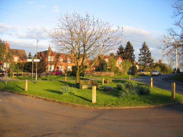
Leek Wootton and Guy's Cliffe
Leek Wootton & Guy's Cliffe is a civil parish in the Warwick District of Warwickshire, England. It was created when the smallest parish in England, Guy...
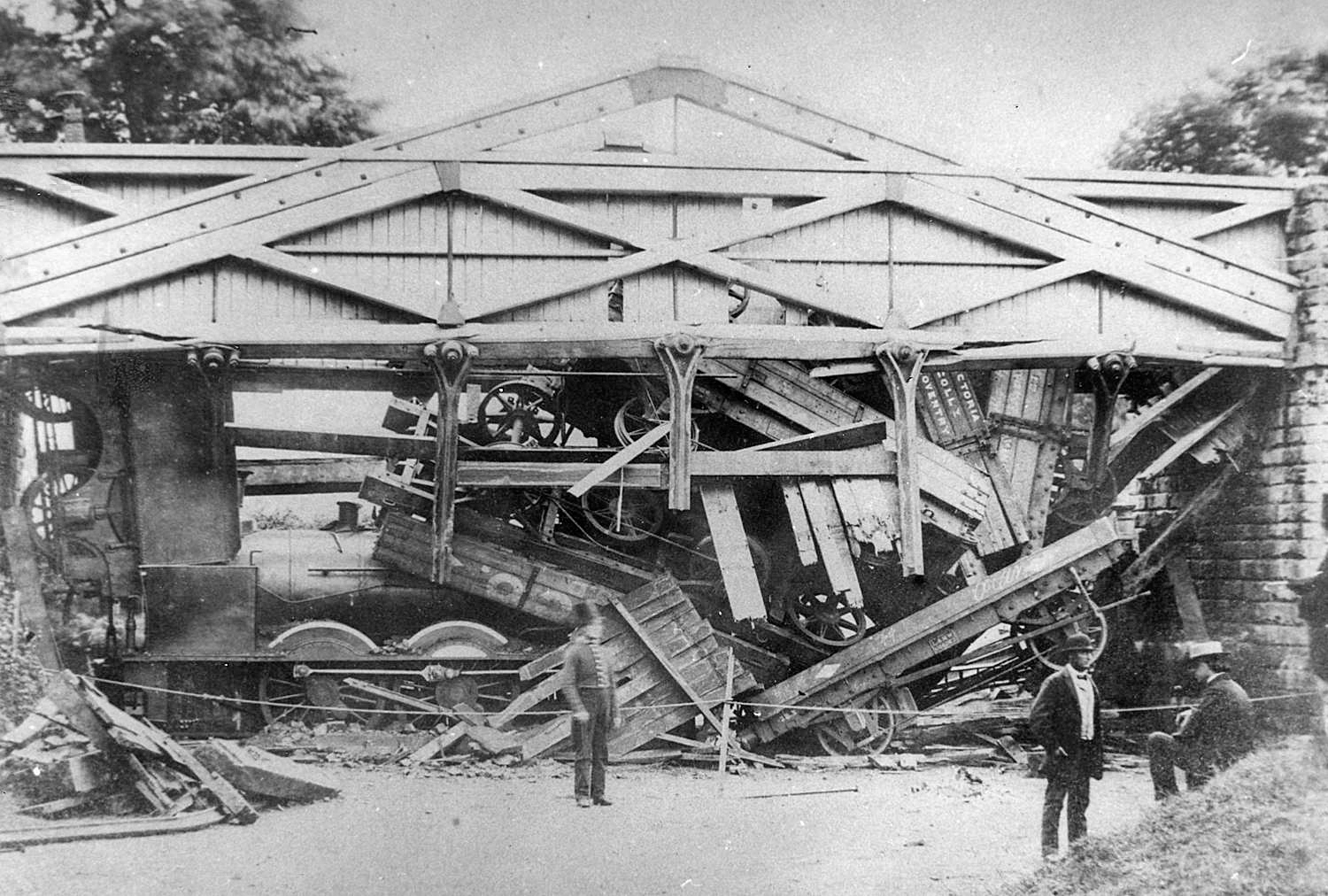
Wootton bridge collapse
The Wootton bridge collapse occurred on 11 June 1861, when the rail bridge over the road between Leek Wootton and Hill Wootton in Warwickshire collapsed...
Talisman Theatre and Arts Centre
The Talisman Theatre and Arts Centre is a community theatre and company located in Kenilworth, Warwickshire, England. The building has a foyer/meeting...
Warwick Rural District
Warwick Rural District was a rural district of Warwickshire, England. It was created in 1894, and covered an area around, but not including, Warwick. It...
Old Milverton
Old Milverton is a hamlet east of Warwick and north west of Leamington Spa in Warwickshire, England, and situated in a bend of the River Avon. The population...
Warwick International School of Riding
The Warwick International School of Riding is a school of equitation (horsemanship), located just north of Warwick, Warwickshire, England. The school caters...
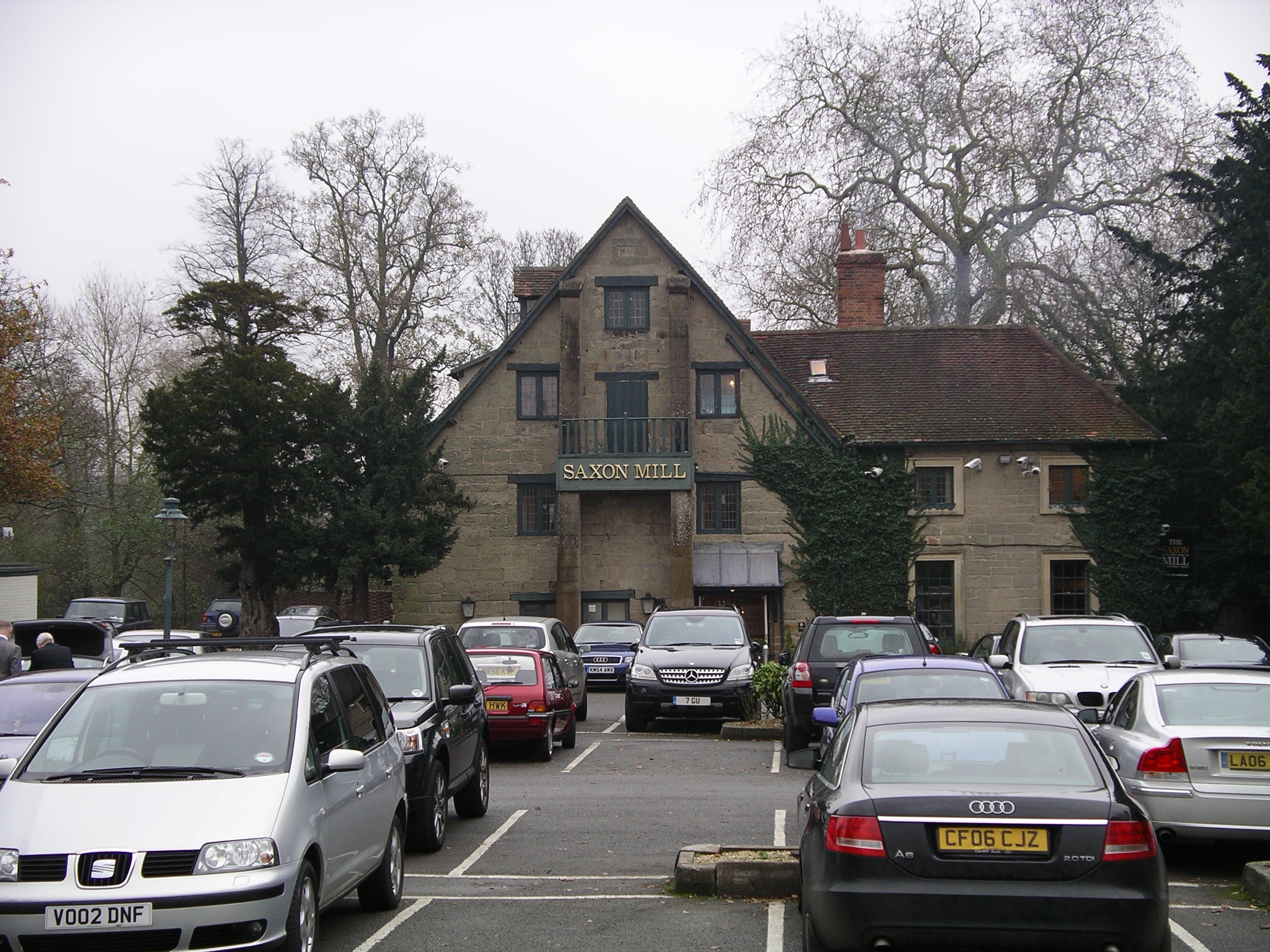
Saxon Mill
The Saxon Mill is a former mill at Guy's Cliffe, Warwickshire, England, situated about one mile northeast of the town of Warwick. It is now a restaurant...
Nearby Amenities
Located within 500m of 52.321547,-1.5870853Have you been to The Lunch?
Leave your review of The Lunch below (or comments, questions and feedback).