Jennywell Wood
Wood, Forest in Derbyshire Derbyshire Dales
England
Jennywell Wood
Jennywell Wood is a picturesque woodland located in Derbyshire, England. Covering an area of approximately 50 acres, it is a popular destination for nature enthusiasts and hikers. The wood is part of the larger Peak District National Park and offers visitors a tranquil and serene environment to explore.
The wood is primarily composed of a diverse range of tree species, including oak, beech, and birch. These towering trees provide a dense canopy that filters sunlight, creating a cool and shaded atmosphere beneath. The forest floor is covered in a thick layer of leaf litter, creating a natural carpet of vibrant greens and browns.
Jennywell Wood is home to a variety of wildlife, making it a haven for animal lovers and birdwatchers. Visitors may spot species such as deer, foxes, and squirrels as they navigate the winding trails. The wood is particularly known for its rich birdlife, with species such as woodpeckers, owls, and thrushes frequently seen and heard.
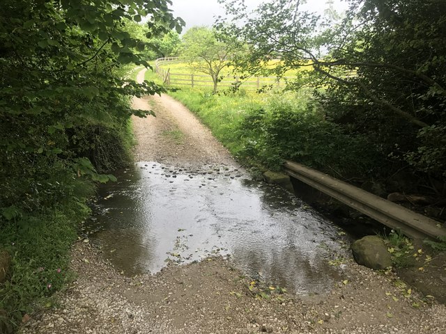
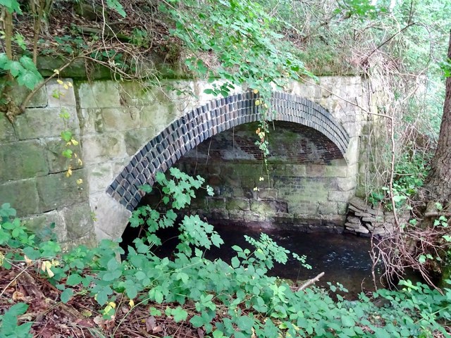
The wood is intersected by a network of well-maintained footpaths, allowing visitors to easily explore its beauty. These paths wind through the trees, offering glimpses of stunning vistas and hidden clearings. The wood also features a small stream that adds to its natural charm.
Jennywell Wood is a true gem in Derbyshire's natural landscape, providing a peaceful retreat for those seeking solace in nature. Its abundance of flora and fauna, combined with its idyllic setting, make it a must-visit destination for anyone wanting to experience the beauty of the English countryside.
If you have any feedback on the listing, please let us know in the comments section below.
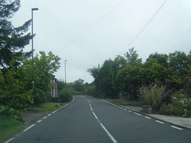
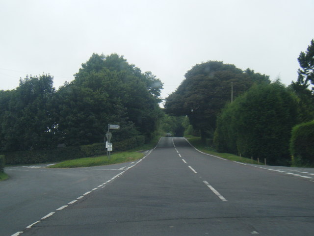
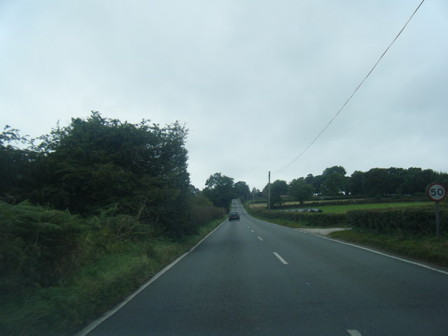
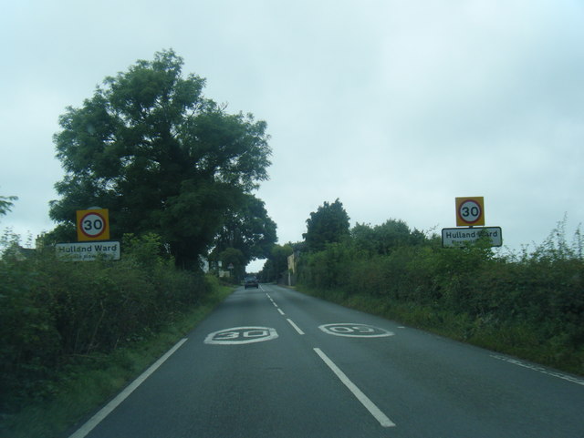
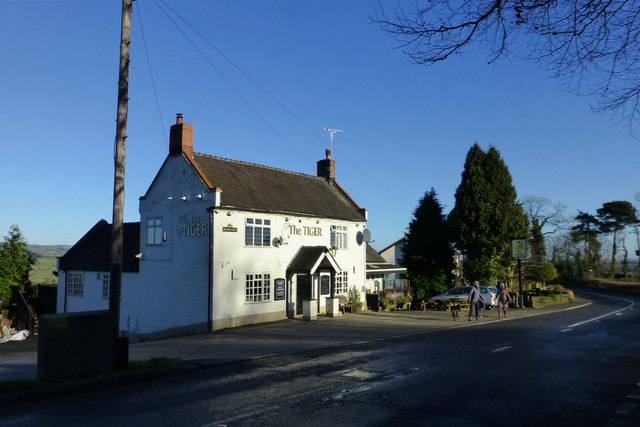
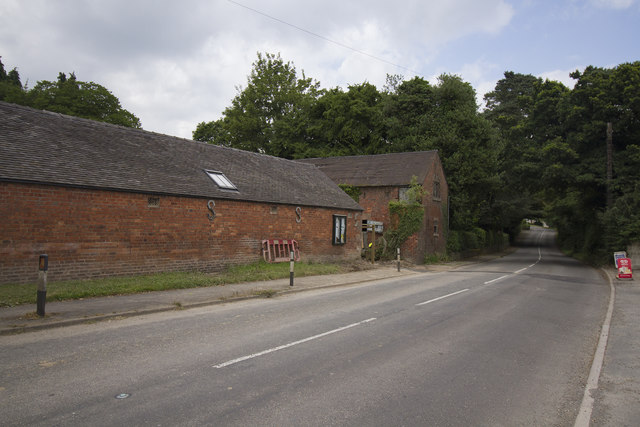
Jennywell Wood Images
Images are sourced within 2km of 53.019252/-1.5804595 or Grid Reference SK2846. Thanks to Geograph Open Source API. All images are credited.

Jennywell Wood is located at Grid Ref: SK2846 (Lat: 53.019252, Lng: -1.5804595)
Administrative County: Derbyshire
District: Derbyshire Dales
Police Authority: Derbyshire
What 3 Words
///jumpy.roadways.crest. Near Belper, Derbyshire
Nearby Locations
Related Wikis
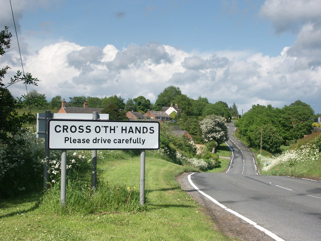
Cross o' th' Hands
Cross o' th' Hands is a small area of settlement in Derbyshire, England, 10 miles (16 km) north-west of Derby on the A517 road between Hulland and Turnditch...
Turnditch
Turnditch is a village and civil parish in the Amber Valley district of Derbyshire, England. The population of the civil parish at the 2011 Census was...

Frederick Inglefield
Admiral Sir Frederick Samuel Inglefield, (29 April 1854 – 8 August 1921) was a Royal Navy officer who served as Fourth Sea Lord, was appointed as a Grand...

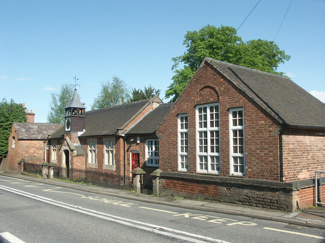
All Saints' Church, Turnditch
All Saints' Church, Turnditch is a Grade II listed parish church in the Church of England: 347 in Turnditch, Derbyshire. == History == A date of 1630...

Idridgehay and Alton
Idridgehay and Alton is a civil parish in the Amber Valley district of Derbyshire, England. The population of the civil parish taken at the 2011 Census...
Idridgehay
Idridgehay is a village in the civil parish of Idridgehay and Alton, in the Amber Valley district of Derbyshire, England. The population of this parish...
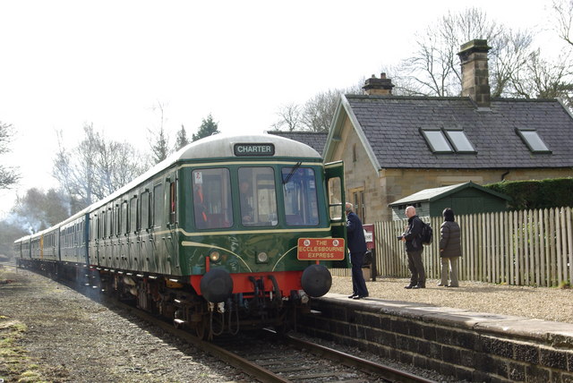
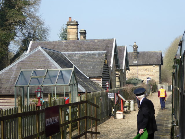
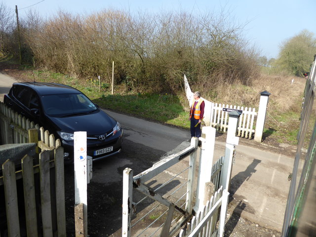
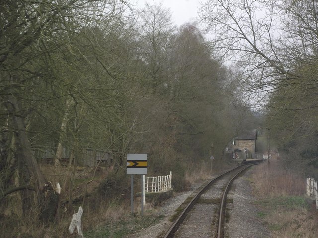
Idridgehay railway station
Idridgehay railway station is an intermediate station on the former Midland Railway branch line to the town of Wirksworth in Derbyshire. Off the Midland...

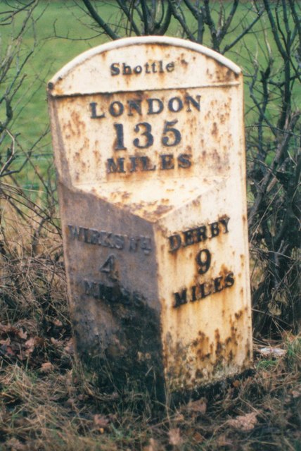
Shottle railway station
Shottle railway station is the second intermediate station on the former Midland Railway branch line to the small town of Wirksworth in Derbyshire. The...
Nearby Amenities
Located within 500m of 53.019252,-1.5804595Have you been to Jennywell Wood?
Leave your review of Jennywell Wood below (or comments, questions and feedback).