Bull Hill
Hill, Mountain in Derbyshire Derbyshire Dales
England
Bull Hill
Bull Hill, also known as Oker Hill, is a prominent hill located in the county of Derbyshire, England. It is situated within the Peak District National Park, approximately 5 miles southwest of the town of Matlock. With an elevation of 1,171 feet (357 meters), Bull Hill stands as one of the highest peaks in Derbyshire.
The hill is renowned for its picturesque scenery and outstanding views across the surrounding countryside. Its distinct shape, resembling that of a bull's hump, gives the hill its name. Covered in lush greenery, Bull Hill offers a haven for hikers, nature enthusiasts, and photographers alike.
The trail up Bull Hill is well-marked and relatively easy to navigate, making it accessible for walkers of all abilities. As visitors ascend the hill, they are treated to breathtaking vistas of the Derbyshire Dales, with rolling hills, meandering rivers, and quaint villages dotting the landscape.
At the summit of Bull Hill, a trig point marks the highest point, offering a great spot to take in the panoramic views. On a clear day, it is possible to see as far as the Cheshire Plain and the Welsh mountains.
Bull Hill is a popular destination for outdoor activities, including hiking, birdwatching, and picnicking. Its proximity to other attractions within the Peak District, such as the famous Chatsworth House and the Heights of Abraham, makes it an excellent base for exploring the region.
Overall, Bull Hill in Derbyshire is a remarkable natural landmark, offering visitors a chance to immerse themselves in the beauty of the Peak District's countryside while enjoying stunning views from its summit.
If you have any feedback on the listing, please let us know in the comments section below.
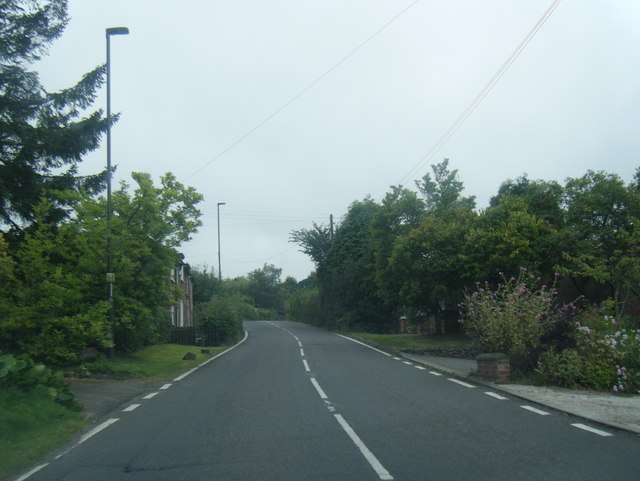
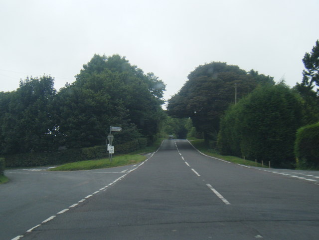
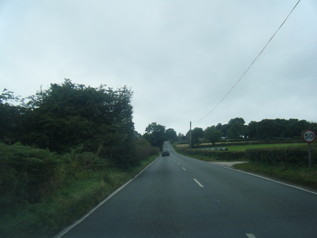
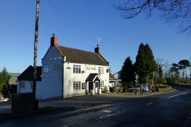
Bull Hill Images
Images are sourced within 2km of 53.019191/-1.5757793 or Grid Reference SK2846. Thanks to Geograph Open Source API. All images are credited.


Bull Hill is located at Grid Ref: SK2846 (Lat: 53.019191, Lng: -1.5757793)
Administrative County: Derbyshire
District: Derbyshire Dales
Police Authority: Derbyshire
What 3 Words
///rejoins.boater.shady. Near Belper, Derbyshire
Nearby Locations
Related Wikis
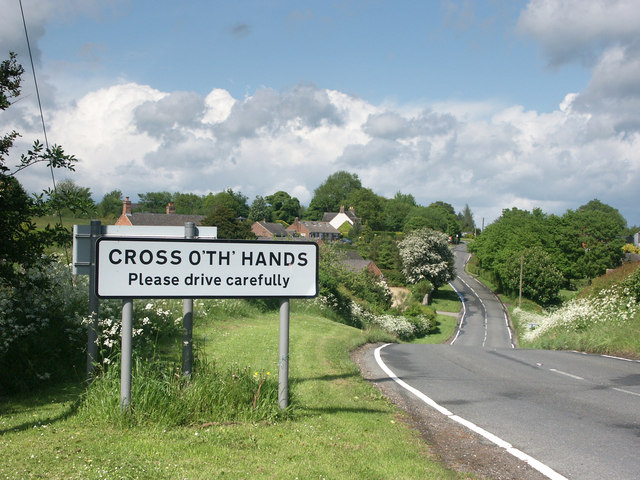
Cross o' th' Hands
Cross o' th' Hands is a small area of settlement in Derbyshire, England, 10 miles (16 km) north-west of Derby on the A517 road between Hulland and Turnditch...
Turnditch
Turnditch is a village and civil parish in the Amber Valley district of Derbyshire, England. The population of the civil parish at the 2011 Census was...

Frederick Inglefield
Admiral Sir Frederick Samuel Inglefield, (29 April 1854 – 8 August 1921) was a Royal Navy officer who served as Fourth Sea Lord, was appointed as a Grand...

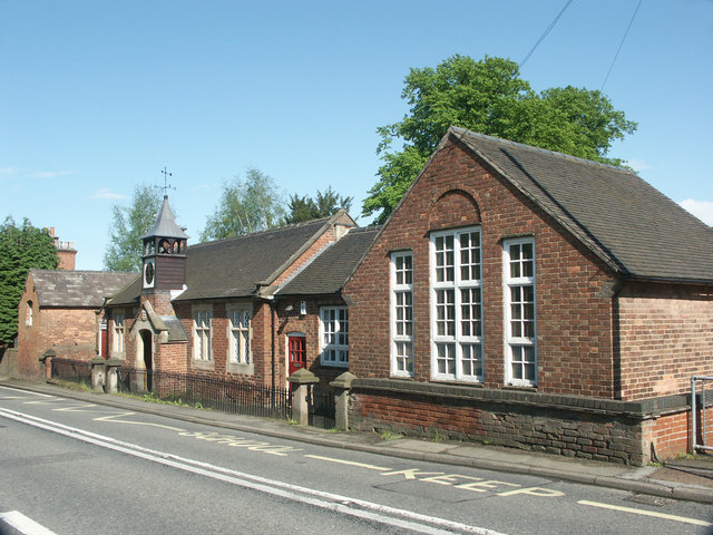
All Saints' Church, Turnditch
All Saints' Church, Turnditch is a Grade II listed parish church in the Church of England: 347 in Turnditch, Derbyshire. == History == A date of 1630...

Idridgehay and Alton
Idridgehay and Alton is a civil parish in the Amber Valley district of Derbyshire, England. The population of the civil parish taken at the 2011 Census...
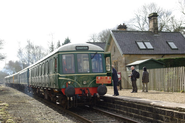
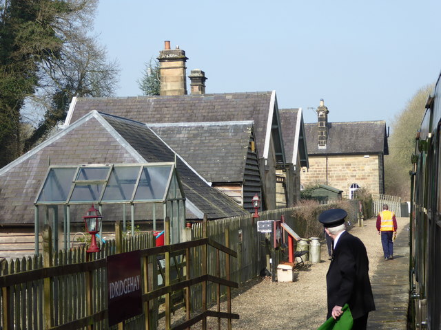
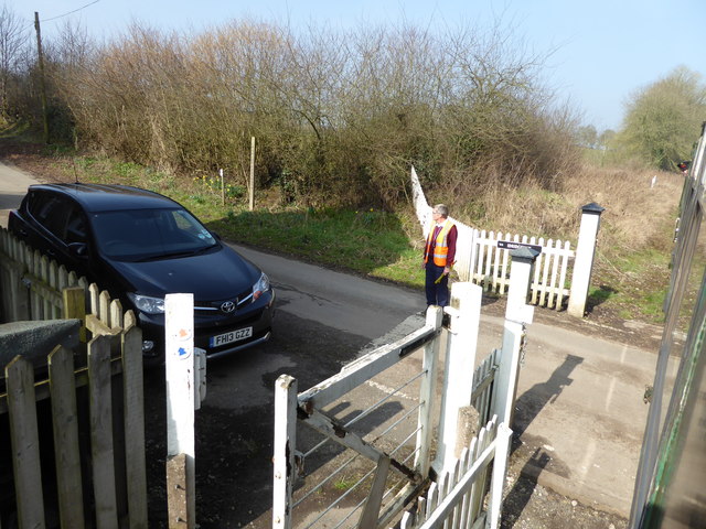
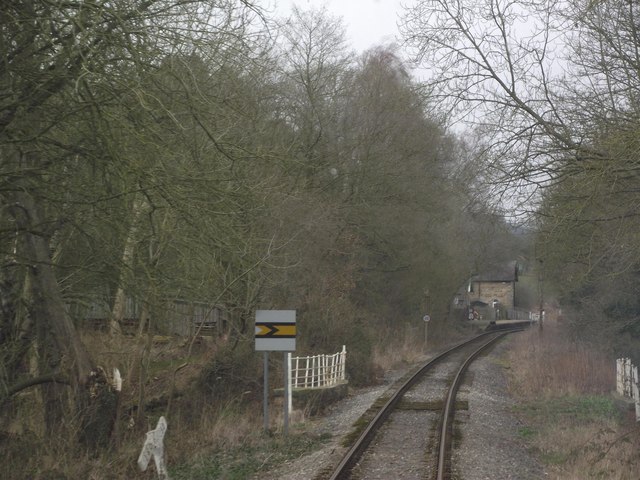
Idridgehay railway station
Idridgehay railway station is an intermediate station on the former Midland Railway branch line to the town of Wirksworth in Derbyshire. Off the Midland...
Idridgehay
Idridgehay is a village in the civil parish of Idridgehay and Alton, in the Amber Valley district of Derbyshire, England. The population of this parish...

Shottle railway station
Shottle railway station is the second intermediate station on the former Midland Railway branch line to the small town of Wirksworth in Derbyshire. The...
Nearby Amenities
Located within 500m of 53.019191,-1.5757793Have you been to Bull Hill?
Leave your review of Bull Hill below (or comments, questions and feedback).