Windmill Hill

Hill, Mountain in Northumberland

England

Windmill Hill

Seaweed on the beach at Broad Sands
Seaweed on the beach at Broad Sands Credit: Oliver Dixon

Windmill Hill is a prominent geographical feature located in Northumberland, England. Situated near the town of Alnwick, this hill is a popular destination for outdoor enthusiasts and offers breathtaking views of the surrounding countryside.

Rising to an elevation of approximately 250 meters (820 feet), Windmill Hill is classified as a hill rather than a mountain. It is part of the wider Cheviot Hills range, which spans across the border between England and Scotland. The hill is characterized by its gently sloping sides and a relatively flat summit, making it accessible to hikers of various skill levels.

The name Windmill Hill originates from the presence of a historic windmill that once stood at its peak. Although the windmill itself no longer exists, its remnants can still be seen, adding to the hill's historical significance. Visitors can explore the ruins and imagine the hill's past as a working windmill.

The surrounding landscape is predominantly rural, featuring rolling hills, farmland, and patches of woodland. Windmill Hill offers stunning panoramic views of the Northumberland countryside, including the nearby Alnwick Castle, one of the most iconic castles in England.

With its accessible hiking trails and picturesque vistas, Windmill Hill attracts both locals and tourists alike. Outdoor enthusiasts often embark on walks or hikes to the summit, appreciating the tranquility and natural beauty of the area. Birdwatchers are also drawn to the hill, as it provides an ideal vantage point for spotting a variety of avian species.

In summary, Windmill Hill in Northumberland is a notable hill that offers captivating views of the surrounding countryside. Its historical significance, picturesque location, and accessibility make it a popular destination for outdoor enthusiasts and nature lovers.

If you have any feedback on the listing, please let us know in the comments section below.

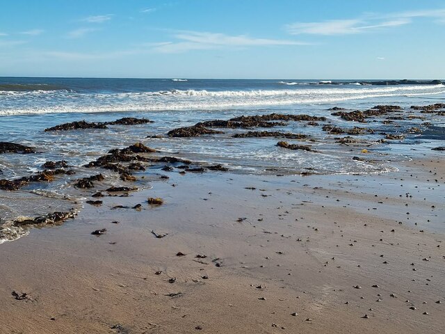
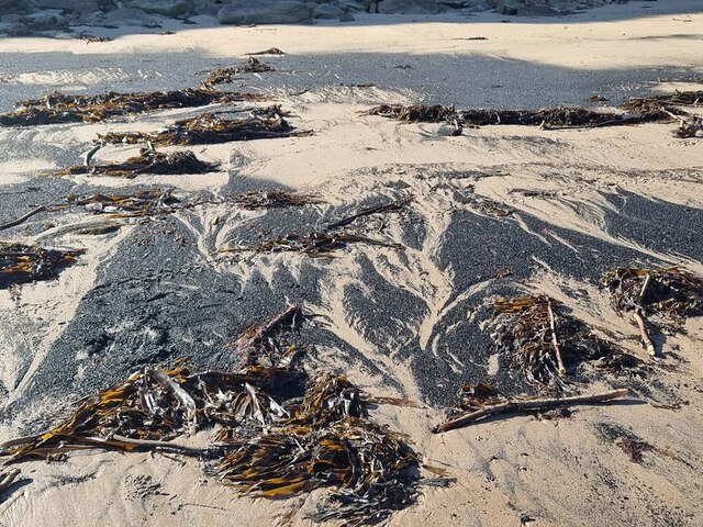
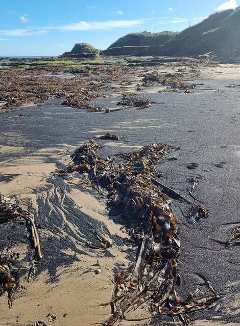
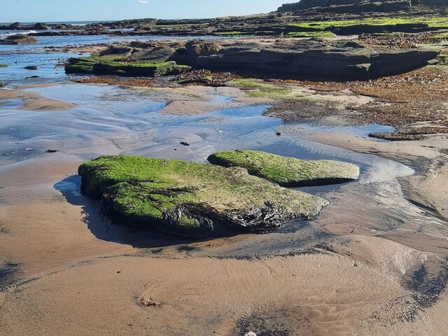
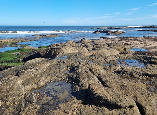
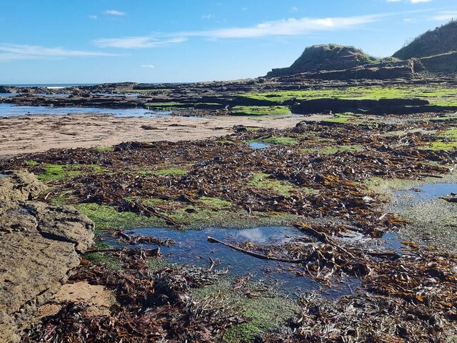
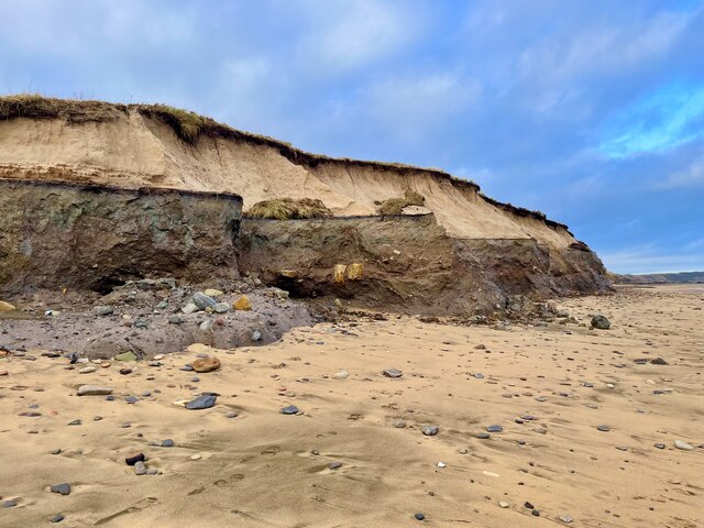
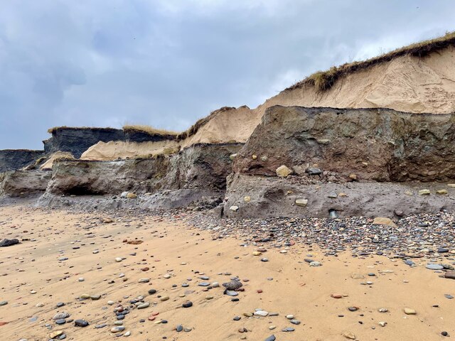
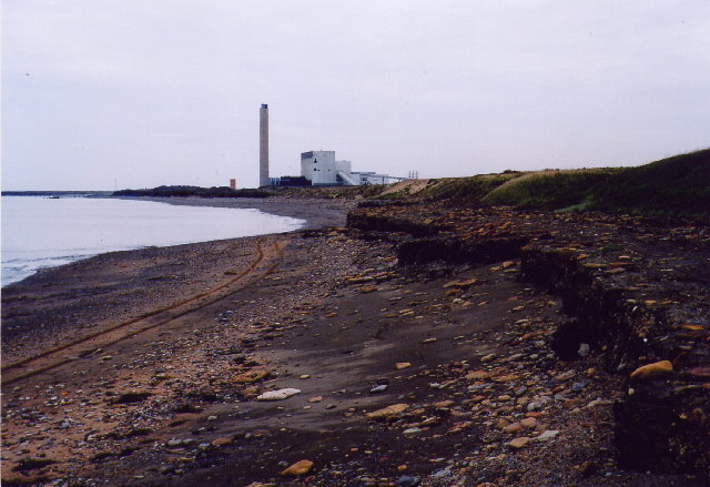
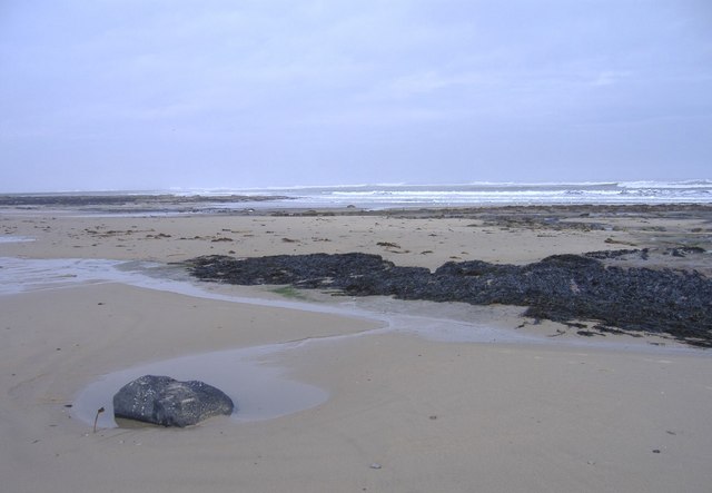
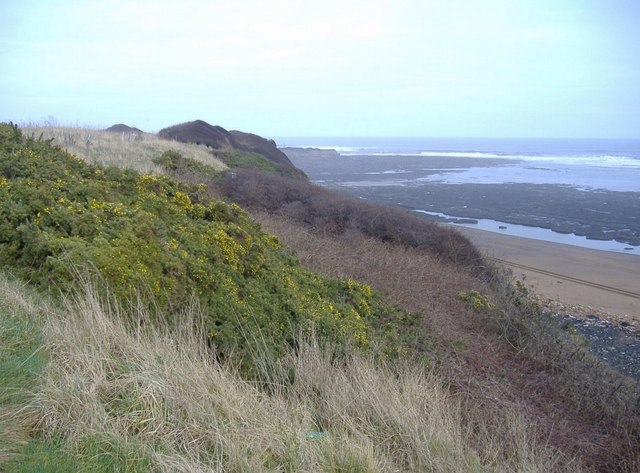
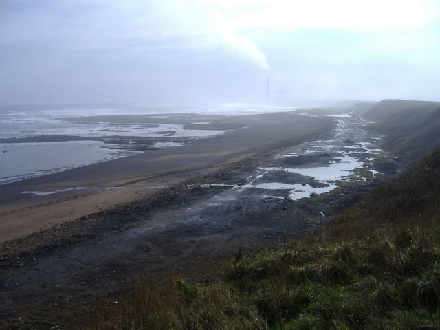
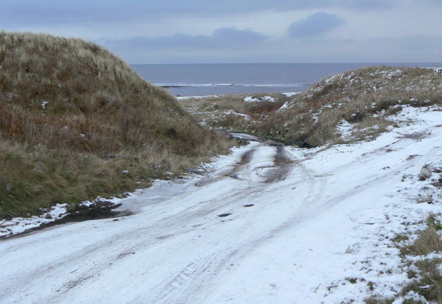
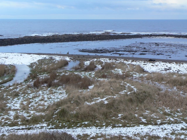
Windmill Hill Images

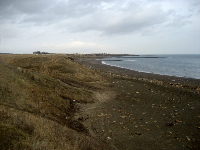
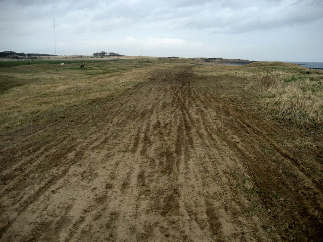
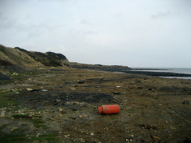
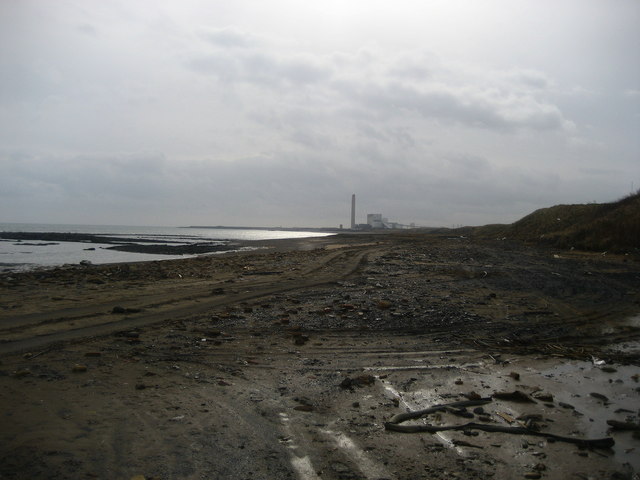
Images are sourced within 2km of 55.22556/-1.5527045 or Grid Reference NZ2892. Thanks to Geograph Open Source API. All images are credited.

Seaweed on the beach at Broad Sands
Seaweed and coal dust on the beach At Broad Sands. The coal dust is a legacy of the local coal mining industry.
Seaweed and coal dust on the beach
At Broad Sands. The coal dust is a legacy of the local coal mining industry.
Seaweed and coal dust on the beach Looking towards Snab Point.  The coal dust is a legacy of the local coal mining industry.
Seaweed and coal dust on the beach
Looking towards Snab Point. The coal dust is a legacy of the local coal mining industry.
Broad Sand Rocks A short way north of Snab Point.
Broad Sand Rocks
A short way north of Snab Point.
Broad Sand Rocks
Broad Sand Rocks
Broad Sand Rocks Accumulation of seaweed on the coastal rocks just north of Snab Point.
Broad Sand Rocks
Accumulation of seaweed on the coastal rocks just north of Snab Point.
A rare oasis of beauty on Lynemouth cliffs Courtesy of the huge waves of Storm Babet.
A rare oasis of beauty on Lynemouth cliffs
Courtesy of the huge waves of Storm Babet.
The chocolate cliffs of Lynemouth A rare section of beauty on this beach courtesy of the huge waves of Storm Babet.  Different strata highlighted like the layers of an exotic cake.
The chocolate cliffs of Lynemouth
A rare section of beauty on this beach courtesy of the huge waves of Storm Babet. Different strata highlighted like the layers of an exotic cake.
Lynemouth beach This stretch of beach was a dumping ground for colliery spoil for a number of years and it has left it looking like a moonscape in places.
Lynemouth beach
This stretch of beach was a dumping ground for colliery spoil for a number of years and it has left it looking like a moonscape in places.
Broad Sand Rocks, Cresswell
Snab Point, Cresswell
Broad Skear, Cresswell Looking south, towards Lynemouth.
Broad Skear, Cresswell
Looking south, towards Lynemouth.
Lynemouth Bay Looking north towards Snab Point.  The beach appears black, due to the spoil of colliery operations in the past.
Lynemouth Bay
Looking north towards Snab Point. The beach appears black, due to the spoil of colliery operations in the past.
Reclaimed Land above Lynemouth Bay European Union money has been utilised to tidy this area up, and is loaned as an impromptu cycle track.
Reclaimed Land above Lynemouth Bay
European Union money has been utilised to tidy this area up, and is loaned as an impromptu cycle track.
The Beach at Lynemouth I found this most depressing.  This is a beach in Northumberland, a county famed for its clean and beautiful golden sands.  This has been used as an unofficial landfill site, with, I suspect toxic waste mixed in.  The council needs to seriously get a grip on this!
The Beach at Lynemouth
I found this most depressing. This is a beach in Northumberland, a county famed for its clean and beautiful golden sands. This has been used as an unofficial landfill site, with, I suspect toxic waste mixed in. The council needs to seriously get a grip on this!
Rubbish on Lynemouth Bay Looking south towards the Alcan Power Station, this stretch of coast is a disgrace.  The black sands from coal operations from the past can be forgiven, but the vast amount of rubbish cannot.
Rubbish on Lynemouth Bay
Looking south towards the Alcan Power Station, this stretch of coast is a disgrace. The black sands from coal operations from the past can be forgiven, but the vast amount of rubbish cannot.
Track to the beach Apparently more used by fly-tippers than holiday makers!
Track to the beach
Apparently more used by fly-tippers than holiday makers!
Headagee rocks Low rock formations on the sea shore between Lynemouth and Cresswell.
Headagee rocks
Low rock formations on the sea shore between Lynemouth and Cresswell.
Show me another place!

Windmill Hill is located at Grid Ref: NZ2892 (Lat: 55.22556, Lng: -1.5527045)

Unitary Authority: Northumberland

Police Authority: Northumbria

What 3 Words

///stopwatch.moons.irritated. Near Cresswell, Northumberland

Related Wikis

Ellington, Northumberland

Ellington is a small village in the civil parish of Ellington and Linton, on the coast of Northumberland, England. Ellington is 4 miles (6 km) from Ashington...

Ellington Colliery

Ellington Colliery (also known as The Big E), was a coal mine situated to the south of the village of Ellington in Northumberland, England. The colliery...

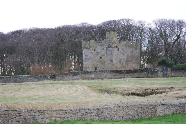
Cresswell Castle, Northumberland

Cresswell Pele Tower is in the village of Cresswell, situated overlooking the coast approximately 4 miles (6 km) to the north of Ashington, Northumberland...

Cresswell, Northumberland

Cresswell is a village in Northumberland, England. It is about 4 miles (6 km) to the north of Ashington, on the North Sea coast. == History == The place...

Nearby Amenities

Located within 500m of 55.22556,-1.5527045
Noexit: yes
Lat/Long: 55.225578/-1.5581111
Noexit: yes
Lat/Long: 55.2247898/-1.5596419
Noexit: yes
Lat/Long: 55.2232166/-1.55564
Noexit: yes
Lat/Long: 55.2280998/-1.5569493
Noexit: yes
Lat/Long: 55.2239606/-1.555402
Noexit: yes
Lat/Long: 55.2274293/-1.5549331
Noexit: yes
Lat/Long: 55.224213/-1.5554845
Noexit: yes
Lat/Long: 55.2263268/-1.5596194
Noexit: yes
Lat/Long: 55.2253841/-1.5571717
Noexit: yes
Lat/Long: 55.2275926/-1.5557794
Noexit: yes
Lat/Long: 55.2278841/-1.5546189
Noexit: yes
Lat/Long: 55.2281551/-1.5567193
Noexit: yes
Lat/Long: 55.2227916/-1.5561822
Noexit: yes
Lat/Long: 55.2278565/-1.554898
Noexit: yes
Lat/Long: 55.2241026/-1.5595763
Noexit: yes
Lat/Long: 55.2230873/-1.5557232
Noexit: yes
Lat/Long: 55.2277061/-1.5578138
Noexit: yes
Lat/Long: 55.2273492/-1.5548302
Noexit: yes
Lat/Long: 55.2227385/-1.5564322
Man Made: tower
Tower Type: communication
Lat/Long: 55.2255496/-1.5520008
Telephone
Lat/Long: 55.2270142/-1.5595048
Post Box
Collection Times: Mo-Fr 16:00; Sa 10:15
Post Box Type: lamp
Ref: NE61 162
Royal Cypher: EIIR
Royal Cypher Wikidata: Q33102113
Source: survey
Lat/Long: 55.2269962/-1.5594374
Noexit: yes
Lat/Long: 55.227069/-1.5578288
Noexit: yes
Lat/Long: 55.2287301/-1.555989
Noexit: yes
Lat/Long: 55.228659/-1.5566535
Give Way
Direction: forward
Lat/Long: 55.2285508/-1.5575674
Noexit: yes
Lat/Long: 55.2279469/-1.5582501
Noexit: yes
Lat/Long: 55.2279052/-1.5584352
Noexit: yes
Lat/Long: 55.2278353/-1.5585324
Noexit: yes
Lat/Long: 55.2277114/-1.5586638
Noexit: yes
Lat/Long: 55.2276008/-1.5585317
Give Way
Direction: forward
Lat/Long: 55.2282581/-1.5581826
Give Way
Direction: forward
Lat/Long: 55.2271398/-1.5598989
Noexit: yes
Lat/Long: 55.2286039/-1.5569633
Noexit: yes
Lat/Long: 55.2284816/-1.5573107
Noexit: yes
Lat/Long: 55.2283064/-1.5576245
Noexit: yes
Lat/Long: 55.2283707/-1.5575387
Traffic Calming: cushion
Lat/Long: 55.2263077/-1.5581365
Bus Stop
Shelter: no
Lat/Long: 55.227303/-1.559766
Traffic Calming: cushion
Lat/Long: 55.226872/-1.5593308
Bus Stop
Bench: yes
Bin: yes
Lit: no
Name Signed: no
Shelter: yes
Tactile Paving: no
Lat/Long: 55.226993/-1.5601399
Crossing
Kerb: lowered
Lat/Long: 55.2269113/-1.5594142
Bench
Backrest: yes
Seats: 3
Lat/Long: 55.2270062/-1.5598883
Waste Basket
Waste: trash
Lat/Long: 55.226992/-1.559903
Bus Stop
Bus: yes
Public Transport: platform
Lat/Long: 55.226957/-1.5600566
The data included in this document is from www.openstreetmap.org. The data is made available under ODbL.

Have you been to Windmill Hill?

Leave your review of Windmill Hill below (or comments, questions and feedback).