Hall Wood

Wood, Forest in Northumberland

England

Hall Wood

Seaweed on the beach at Broad Sands
Seaweed on the beach at Broad Sands Credit: Oliver Dixon

Hall Wood is a picturesque forest located in the county of Northumberland, England. Stretching over an area of approximately 500 acres, this woodland is renowned for its natural beauty and rich biodiversity. It is situated near the village of Longhorsley, providing visitors with a tranquil and peaceful escape from the hustle and bustle of city life.

The wood is predominantly made up of deciduous trees, including oak, ash, and beech, which provide a stunning display of colors during the autumn months. There are also sections of coniferous trees, such as pine and spruce, which offer a contrasting landscape throughout the year. The forest floor is covered with a lush carpet of ferns, mosses, and wildflowers, creating a vibrant undergrowth.

Hall Wood is home to a wide variety of wildlife, making it a popular destination for nature enthusiasts and birdwatchers. Visitors may spot species such as red squirrels, roe deer, badgers, and a plethora of bird species, including woodpeckers, nuthatches, and owls. The forest also houses a diverse range of insects, butterflies, and other small creatures, adding to the overall ecological richness of the area.

For those seeking outdoor activities, Hall Wood offers several walking trails and paths that wind through the forest, providing opportunities for leisurely strolls or more challenging hikes. The forest is well-maintained, with clear signposts and information boards to guide visitors and educate them about the local flora and fauna.

Overall, Hall Wood in Northumberland is a delightful destination for nature lovers and those seeking a peaceful retreat amidst a beautiful and diverse woodland setting.

If you have any feedback on the listing, please let us know in the comments section below.
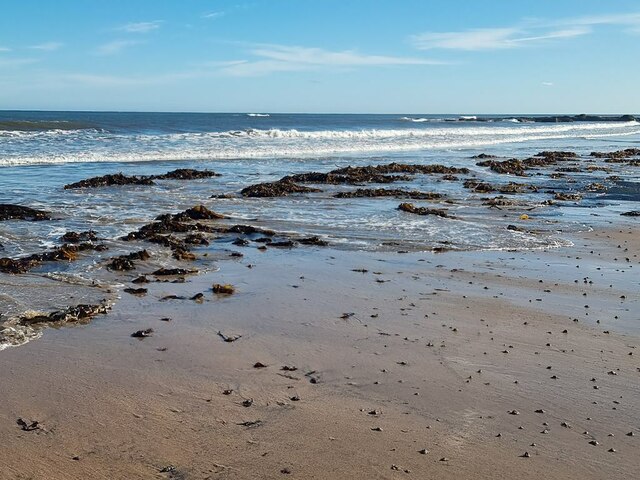
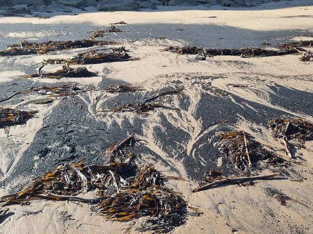
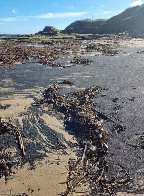
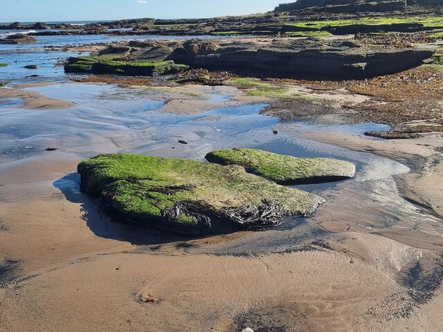
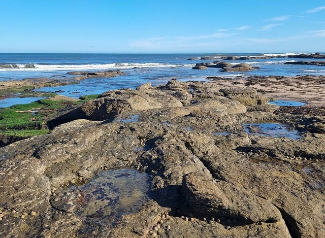
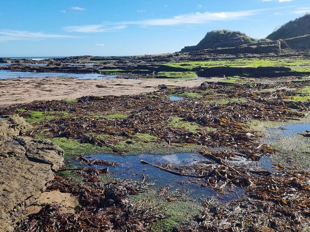
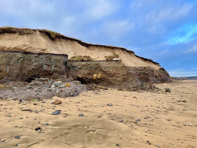
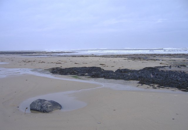
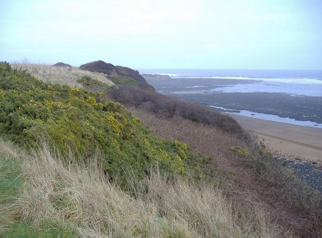
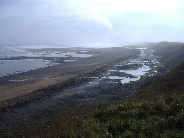
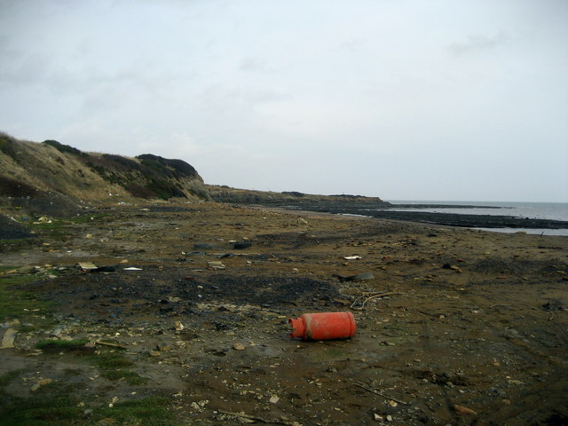
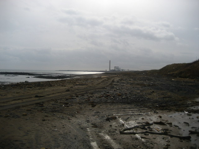
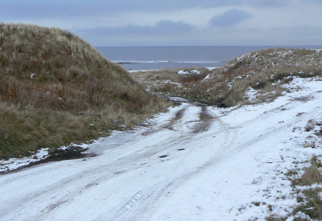
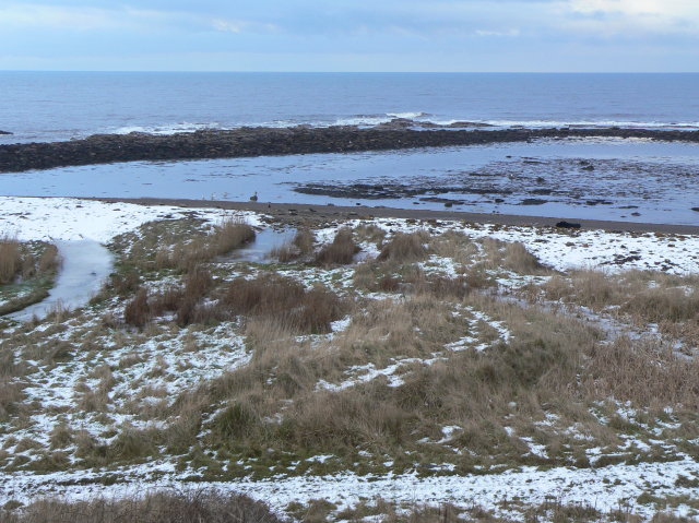
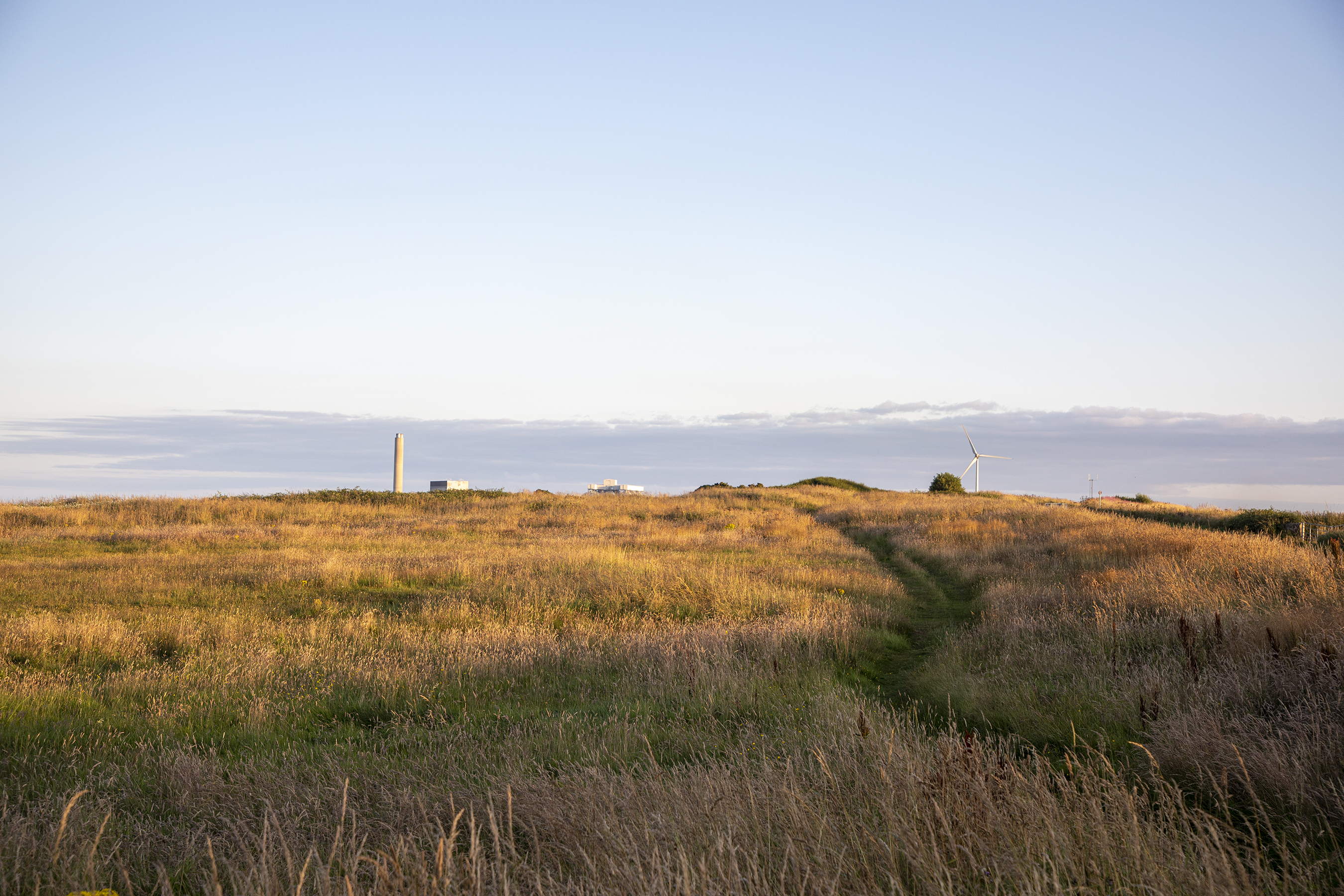
Hall Wood Images

Images are sourced within 2km of 55.23003/-1.5488653 or Grid Reference NZ2892. Thanks to Geograph Open Source API. All images are credited.

Seaweed on the beach at Broad Sands
Seaweed and coal dust on the beach At Broad Sands. The coal dust is a legacy of the local coal mining industry.
Seaweed and coal dust on the beach
At Broad Sands. The coal dust is a legacy of the local coal mining industry.
Seaweed and coal dust on the beach Looking towards Snab Point.  The coal dust is a legacy of the local coal mining industry.
Seaweed and coal dust on the beach
Looking towards Snab Point. The coal dust is a legacy of the local coal mining industry.
Broad Sand Rocks A short way north of Snab Point.
Broad Sand Rocks
A short way north of Snab Point.
Broad Sand Rocks
Broad Sand Rocks
Broad Sand Rocks Accumulation of seaweed on the coastal rocks just north of Snab Point.
Broad Sand Rocks
Accumulation of seaweed on the coastal rocks just north of Snab Point.
A rare oasis of beauty on Lynemouth cliffs Courtesy of the huge waves of Storm Babet.
A rare oasis of beauty on Lynemouth cliffs
Courtesy of the huge waves of Storm Babet.
Broad Sand Rocks, Cresswell
Snab Point, Cresswell
Broad Skear, Cresswell Looking south, towards Lynemouth.
Broad Skear, Cresswell
Looking south, towards Lynemouth.
The Beach at Lynemouth I found this most depressing.  This is a beach in Northumberland, a county famed for its clean and beautiful golden sands.  This has been used as an unofficial landfill site, with, I suspect toxic waste mixed in.  The council needs to seriously get a grip on this!
The Beach at Lynemouth
I found this most depressing. This is a beach in Northumberland, a county famed for its clean and beautiful golden sands. This has been used as an unofficial landfill site, with, I suspect toxic waste mixed in. The council needs to seriously get a grip on this!
Rubbish on Lynemouth Bay Looking south towards the Alcan Power Station, this stretch of coast is a disgrace.  The black sands from coal operations from the past can be forgiven, but the vast amount of rubbish cannot.
Rubbish on Lynemouth Bay
Looking south towards the Alcan Power Station, this stretch of coast is a disgrace. The black sands from coal operations from the past can be forgiven, but the vast amount of rubbish cannot.
Track to the beach Apparently more used by fly-tippers than holiday makers!
Track to the beach
Apparently more used by fly-tippers than holiday makers!
Headagee rocks Low rock formations on the sea shore between Lynemouth and Cresswell.
Headagee rocks
Low rock formations on the sea shore between Lynemouth and Cresswell.
Winter coastline Between Lynemouth and Cresswell. Unfortunately easily accessible for flytippers.
Winter coastline
Between Lynemouth and Cresswell. Unfortunately easily accessible for flytippers.
Summer house in winter On the cliff at Snab Point, near Cresswell. Lynemouth power station forms the backdrop.
Summer house in winter
On the cliff at Snab Point, near Cresswell. Lynemouth power station forms the backdrop.
Seal Skeers Rock formations exposed from mid tide off Snab Point.
Seal Skeers
Rock formations exposed from mid tide off Snab Point.
Broad Sand Beach between Snab Point and Cresswell.
Broad Sand
Beach between Snab Point and Cresswell.
Show me another place!

Hall Wood is located at Grid Ref: NZ2892 (Lat: 55.23003, Lng: -1.5488653)

Unitary Authority: Northumberland

Police Authority: Northumbria

What 3 Words

///audibly.subsystem.sleepers. Near Cresswell, Northumberland

Related Wikis

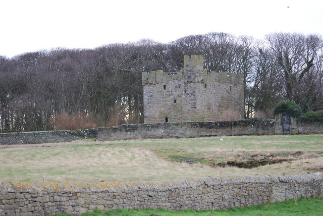
Cresswell Castle, Northumberland

Cresswell Pele Tower is in the village of Cresswell, situated overlooking the coast approximately 4 miles (6 km) to the north of Ashington, Northumberland...

Cresswell, Northumberland

Cresswell is a village in Northumberland, England. It is about 4 miles (6 km) to the north of Ashington, on the North Sea coast. == History == The place...

Ellington, Northumberland

Ellington is a small village in the civil parish of Ellington and Linton, on the coast of Northumberland, England. Ellington is 4 miles (6 km) from Ashington...

Cresswell radar station

Cresswell radar station (also known as RAF Cresswell), was a Chain Home Low (later a Chain Home Extra Low) Second World War radar site at Cresswell, in...

Nearby Amenities

Located within 500m of 55.23003,-1.5488653
Noexit: yes
Lat/Long: 55.2274293/-1.5549331
Noexit: yes
Lat/Long: 55.2278841/-1.5546189
Noexit: yes
Lat/Long: 55.2278565/-1.554898
Noexit: yes
Lat/Long: 55.2273492/-1.5548302
Crossing
Crossing: uncontrolled
Crossing Ref: zebra
Lat/Long: 55.2305152/-1.543574
Give Way
Direction: forward
Lat/Long: 55.2332378/-1.5433867
Give Way
Direction: forward
Lat/Long: 55.2306032/-1.5512723
Crossing
Crossing: uncontrolled
Crossing Ref: zebra
Lat/Long: 55.2306628/-1.5419966
Noexit: yes
Lat/Long: 55.2287301/-1.555989
Crossing
Crossing: uncontrolled
Crossing Ref: zebra
Lat/Long: 55.2323352/-1.5430787
Crossing
Crossing: uncontrolled
Crossing Ref: zebra
Lat/Long: 55.2328169/-1.5432835
Crossing
Crossing: uncontrolled
Crossing Ref: zebra
Lat/Long: 55.2324668/-1.5431346
Crossing
Crossing: uncontrolled
Crossing Ref: zebra
Lat/Long: 55.2321446/-1.5437697
Crossing
Crossing: uncontrolled
Crossing Ref: zebra
Lat/Long: 55.2320478/-1.5429911
Noexit: yes
Lat/Long: 55.229309/-1.5416185
Noexit: yes
Lat/Long: 55.2297141/-1.5423713
Noexit: yes
Lat/Long: 55.2291563/-1.5424069
Bus Stop
Bench: no
Bin: no
Bus: yes
Public Transport: platform
Shelter: no
Lat/Long: 55.2332712/-1.5436038
The data included in this document is from www.openstreetmap.org. The data is made available under ODbL.

Have you been to Hall Wood?

Leave your review of Hall Wood below (or comments, questions and feedback).