Hamfield
Settlement in Somerset Sedgemoor
England
Hamfield
Hamfield is a small village located in the county of Somerset, in the southwestern part of England. Nestled amidst picturesque countryside, this tranquil village offers a peaceful escape from the hustle and bustle of city life. With a population of around 500 residents, it maintains a close-knit community spirit.
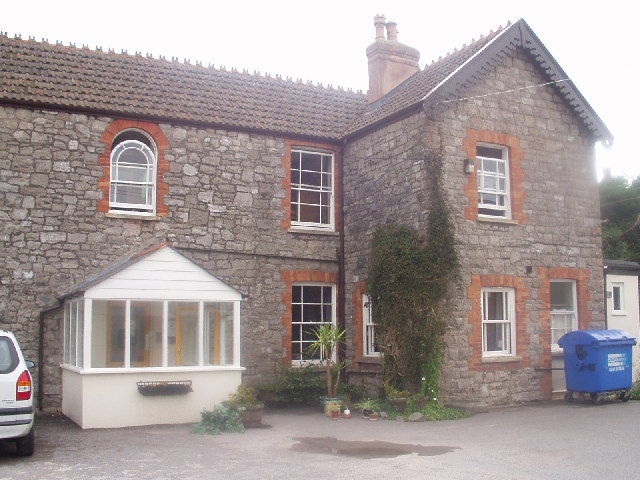
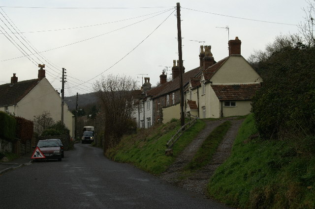
The village of Hamfield is characterized by its charming thatched roof cottages, traditional stone houses, and well-maintained gardens. The architecture reflects its rich history, with some buildings dating back to the 17th century. The village center is adorned with a beautiful village green, which serves as a gathering place for locals and visitors alike.
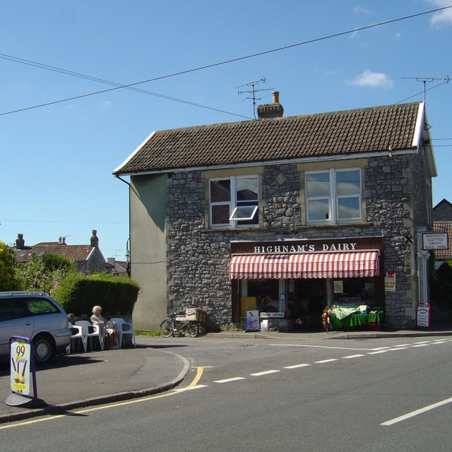
While Hamfield may be small in size, it boasts a number of amenities that cater to the needs of its residents. These include a village shop, a post office, and a cozy local pub serving traditional British fare. Additionally, the village hosts a monthly farmers' market, where locals can purchase fresh produce and artisanal goods.
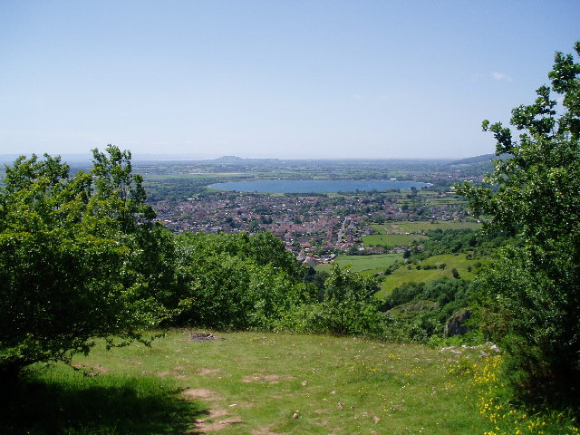
Surrounded by rolling hills and meandering rivers, Hamfield offers ample opportunities for outdoor activities. The village is situated near the Quantock Hills, an Area of Outstanding Natural Beauty, providing residents with stunning walking trails and breathtaking views. Moreover, the nearby coastline offers sandy beaches and seaside towns for those seeking a day by the sea.
Overall, Hamfield is a charming and idyllic village that offers a peaceful and picturesque setting for its residents. With its rich history, close-knit community, and natural beauty, it is a hidden gem in the heart of Somerset.
If you have any feedback on the listing, please let us know in the comments section below.
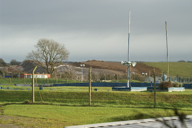
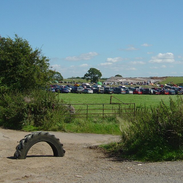
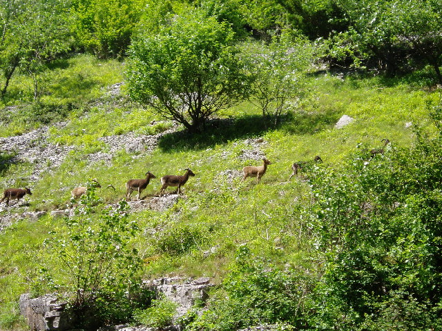
Hamfield Images
Images are sourced within 2km of 51.282357/-2.7775322 or Grid Reference ST4553. Thanks to Geograph Open Source API. All images are credited.
Hamfield is located at Grid Ref: ST4553 (Lat: 51.282357, Lng: -2.7775322)
Administrative County: Somerset
District: Sedgemoor
Police Authority: Avon and Somerset
What 3 Words
///evoke.state.gagging. Near Cheddar, Somerset
Related Wikis

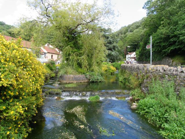
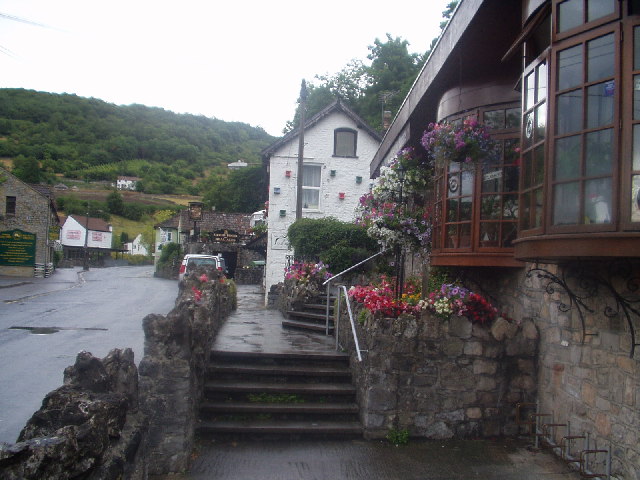
Cheddar, Somerset
Cheddar is a large village and civil parish in the English county of Somerset. It is situated on the southern edge of the Mendip Hills, 9 miles (14 km...

Cox's Cave
Cox's Cave is in Cheddar Gorge on the Mendip Hills, in Somerset, England. It is open to the public as a show cave. The cave is named after mill owner George...

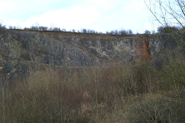
Cheddar Complex
The Cheddar Complex is a 441.3-hectare (1,090-acre) biological Site of Special Scientific Interest near Cheddar around the Cheddar Gorge and north east...
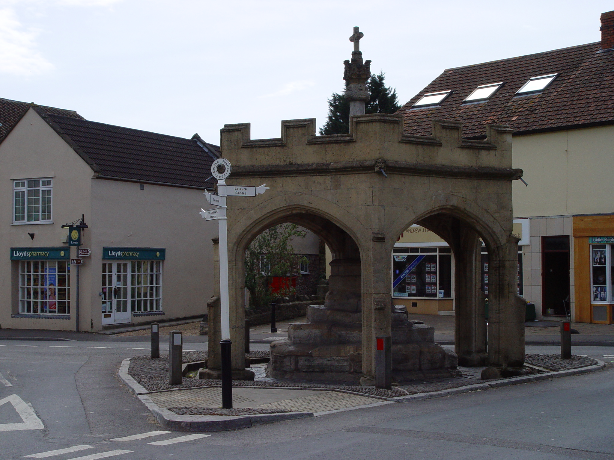
Market Cross, Cheddar
Cheddar Market Cross in the village of Cheddar within the English county of Somerset, England dates from the 15th century. It is a Scheduled Ancient Monument...

The Kings of Wessex Academy
The Kings of Wessex Academy, formerly known as the Kings of Wessex School, is a coeducational secondary school located in Cheddar, Somerset, England. As...
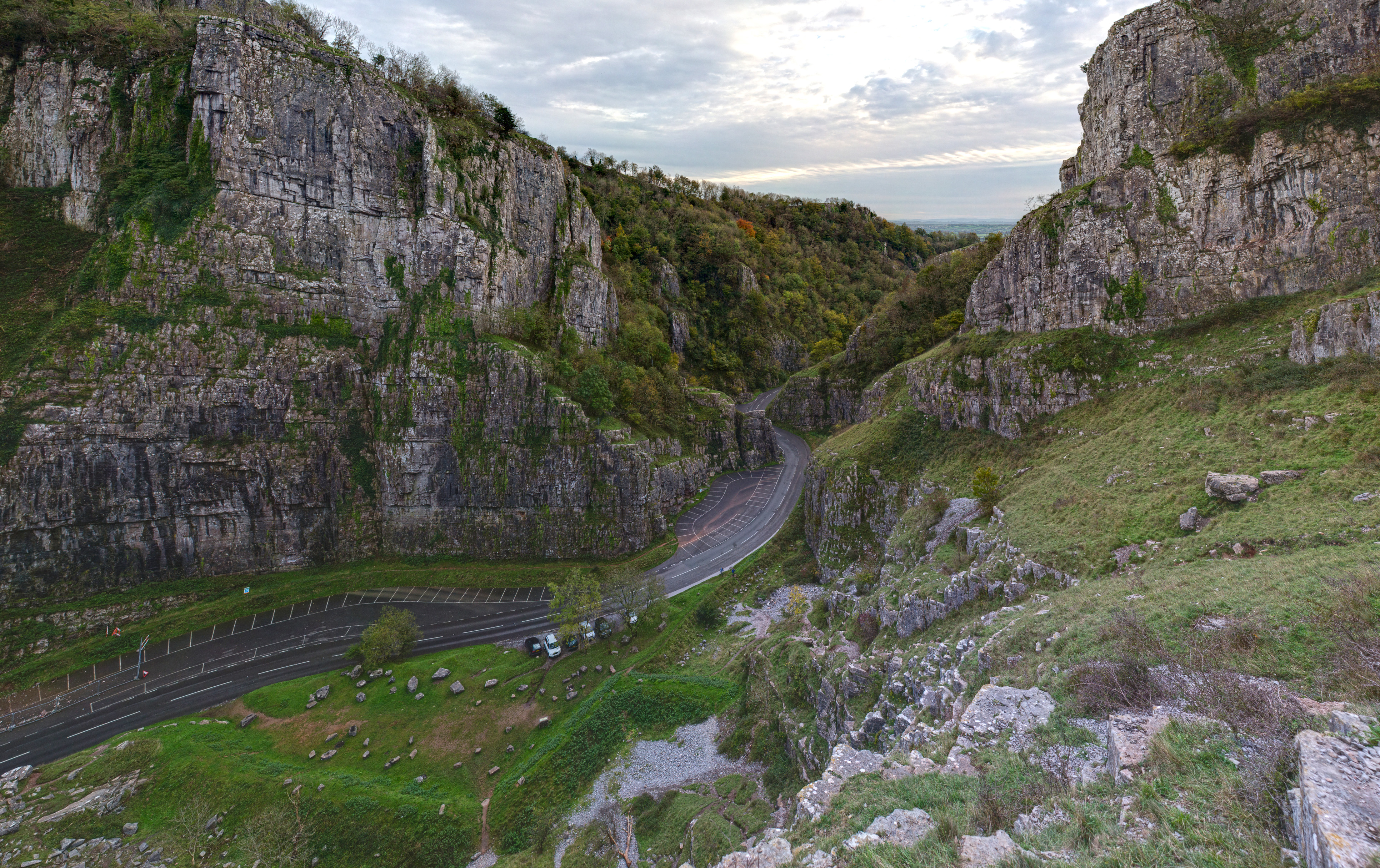
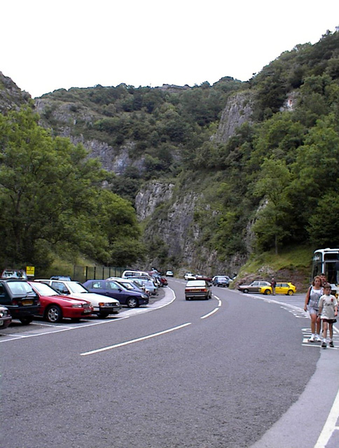
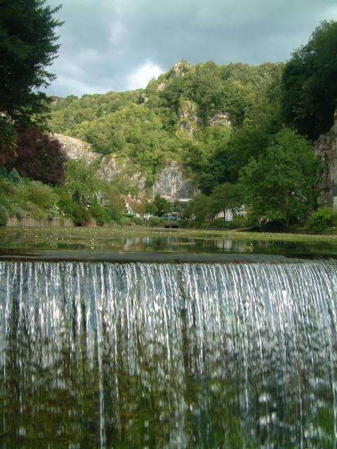
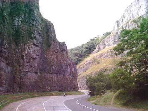
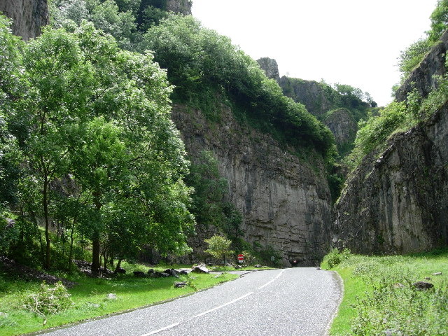
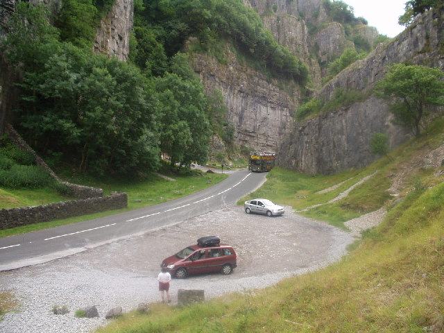
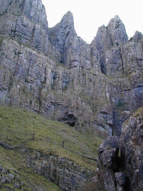
Cheddar Gorge
Cheddar Gorge is a limestone gorge in the Mendip Hills, near the village of Cheddar, Somerset, England. The gorge is the site of the Cheddar show caves...

Cheddar Palace
The Cheddar Palace was established in the 9th century, in Cheddar, Somerset, England. It was a royal hunting lodge in the Anglo-Saxon and medieval periods...

Cheddar railway station
Cheddar railway station was a station on the Bristol and Exeter Railway's Cheddar Valley line in Cheddar, Somerset, England. The station had substantial...
Nearby Amenities
Located within 500m of 51.282357,-2.7775322Have you been to Hamfield?
Leave your review of Hamfield below (or comments, questions and feedback).