Hillfield

Settlement in Somerset Sedgemoor

England

Hillfield

Cheddar This was taken looking along the road towards the gorge with Coxes and Goughs caves on the right hand side of the road from the photographers position.
Cheddar Credit: Pam Brophy

Hillfield is a small village located in the county of Somerset, England. Situated approximately 5 miles northeast of the town of Taunton, Hillfield is nestled amidst the picturesque countryside, surrounded by rolling hills and lush green fields.

The village itself is relatively small, with a population of around 500 residents. It has a close-knit community feel, with a range of amenities and facilities to cater to the local population. These include a village hall, a primary school, a church, and a few local shops and pubs.

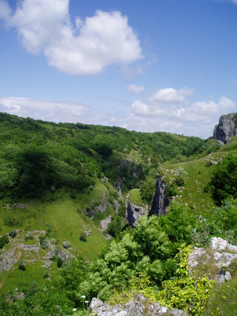
Hillfield is known for its charming rural character and tranquil atmosphere. The surrounding landscape offers plenty of opportunities for outdoor activities such as hiking, cycling, and horse riding. The village is also located near the Quantock Hills, an Area of Outstanding Natural Beauty, making it a popular destination for nature enthusiasts and tourists.

In terms of history, Hillfield has a rich heritage dating back centuries. There are several historic buildings and landmarks in the area, including Hillfield Manor, a Grade II listed building dating back to the 17th century.

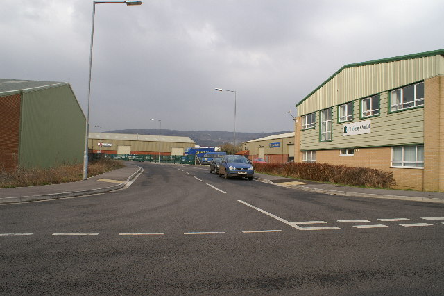
Access to Hillfield is mainly by road, with the A358 running nearby, providing connections to nearby towns and cities. The village is also well-connected to public transportation, with regular bus services operating to and from Taunton.

Overall, Hillfield offers a tranquil and picturesque setting for residents and visitors alike, with its rural charm and range of amenities making it an attractive place to live or explore.

If you have any feedback on the listing, please let us know in the comments section below.
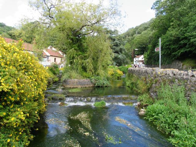
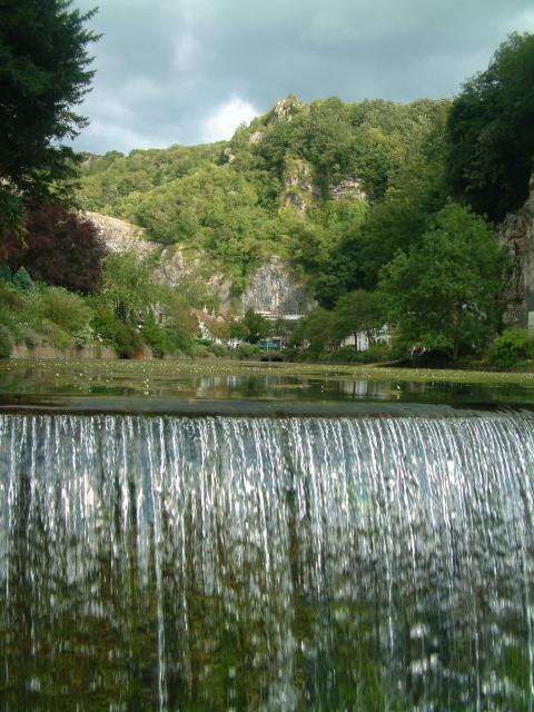
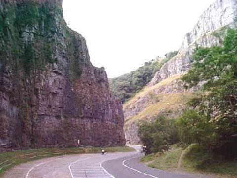
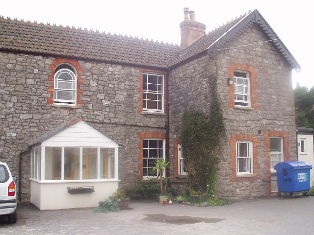
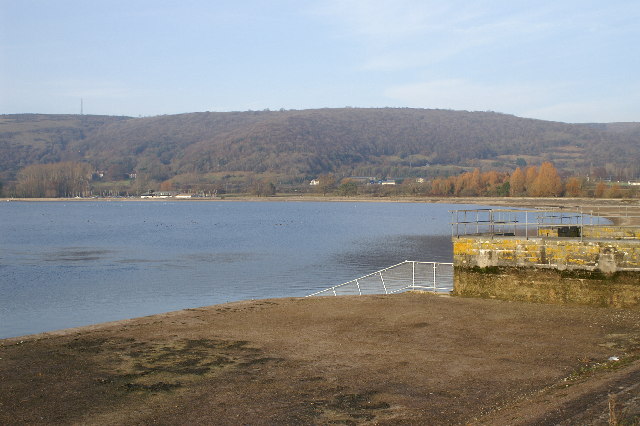
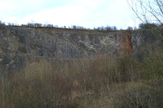
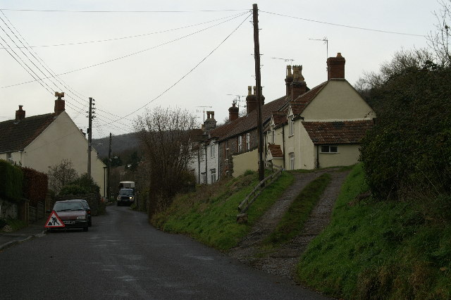
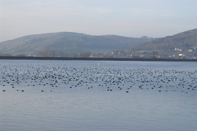
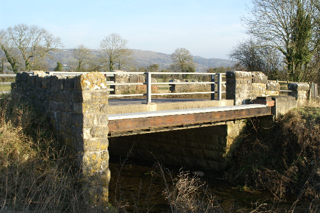
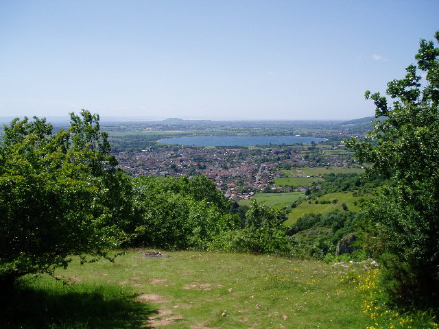
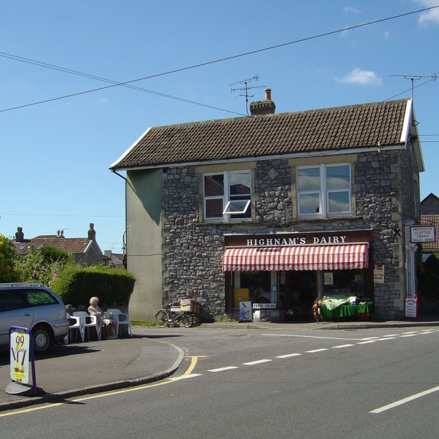
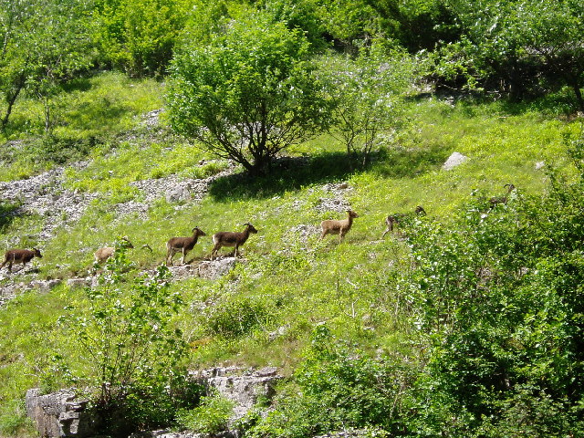
Hillfield Images

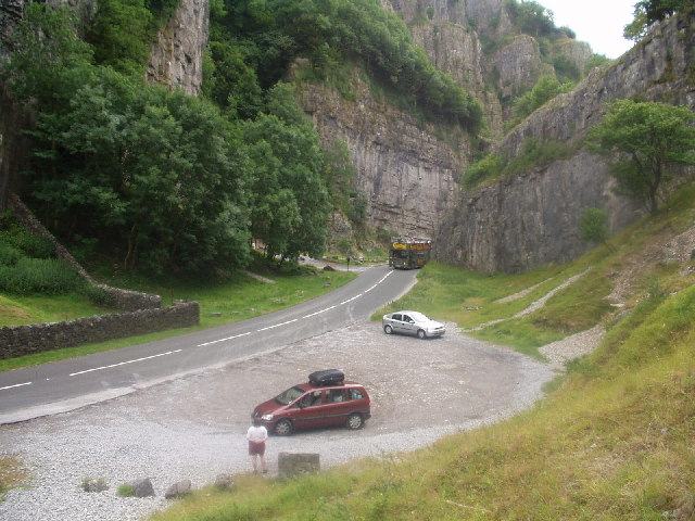
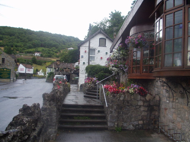
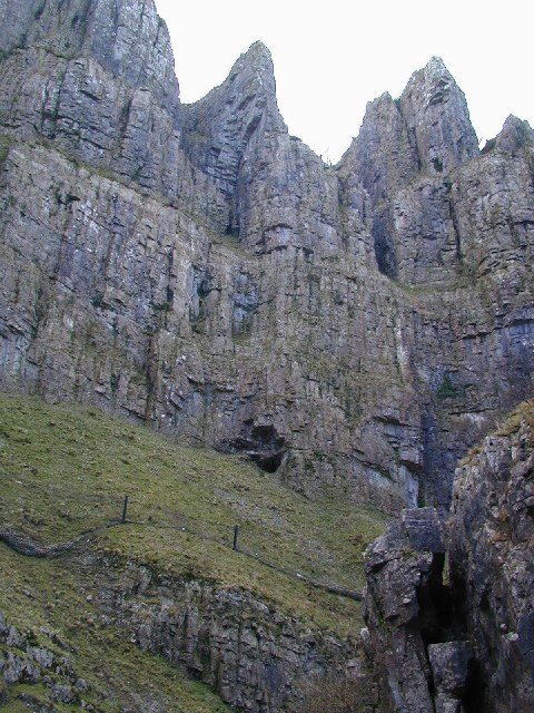
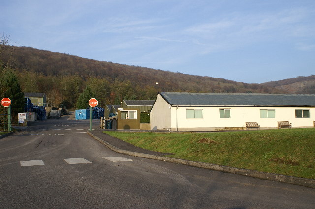
Images are sourced within 2km of 51.278488/-2.783216 or Grid Reference ST4553. Thanks to Geograph Open Source API. All images are credited.

Cheddar This was taken looking along the road towards the gorge with Coxes and Goughs caves on the right hand side of the road from the photographers position.
Cheddar
This was taken looking along the road towards the gorge with Coxes and Goughs caves on the right hand side of the road from the photographers position.
Cheddar View of Cheddar at the southern edge of the gorge with sluice in foreground.
Cheddar
View of Cheddar at the southern edge of the gorge with sluice in foreground.
Cheddar Gorge Looking down Cheddar Gorge, cut through the limestone Mendip Hills.
Cheddar Gorge
Looking down Cheddar Gorge, cut through the limestone Mendip Hills.
Cheddar Youth Hostel
Cheddar Gorge
Cheddar Gorge
Cheddar
Cheddar
Cliffs at Cheddar Gorge Carboniferous Limestone Gorge - collapsed cavern system? - perhaps!
Cliffs at Cheddar Gorge
Carboniferous Limestone Gorge - collapsed cavern system? - perhaps!
Yeo Valley Factory Makers of dairy products ie yoghurt etc
Yeo Valley Factory
Makers of dairy products ie yoghurt etc
Cheddar Reservoir
Cheddar Reservoir
Disused Quarry under 'The Perch'
Cottages on Venns Gate near Cheddar
Cheddar Reservoir Birds
Bridge over Cheddar Yeo at Hythe
View to Cheddar Reservoir
Highnam's Dairy, Cheddar
Soay Sheep in Cheddar Gorge Some of the small flock of Soay Sheep which live in the Gorge.
Soay Sheep in Cheddar Gorge
Some of the small flock of Soay Sheep which live in the Gorge.
Cheddar Gorge Looking down the gorge from the south side.
Cheddar Gorge
Looking down the gorge from the south side.
Cheddar Business Park
Show me another place!

Hillfield is located at Grid Ref: ST4553 (Lat: 51.278488, Lng: -2.783216)

Administrative County: Somerset

District: Sedgemoor

Police Authority: Avon and Somerset

What 3 Words

///headsets.punters.branched. Near Cheddar, Somerset

Related Wikis

Cheddar railway station

Cheddar railway station was a station on the Bristol and Exeter Railway's Cheddar Valley line in Cheddar, Somerset, England. The station had substantial...

Cheddar, Somerset

Cheddar is a large village and civil parish in the English county of Somerset. It is situated on the southern edge of the Mendip Hills, 9 miles (14 km...

The Kings of Wessex Academy

The Kings of Wessex Academy, formerly known as the Kings of Wessex School, is a coeducational secondary school located in Cheddar, Somerset, England. As...

Cheddar Palace

The Cheddar Palace was established in the 9th century, in Cheddar, Somerset, England. It was a royal hunting lodge in the Anglo-Saxon and medieval periods...

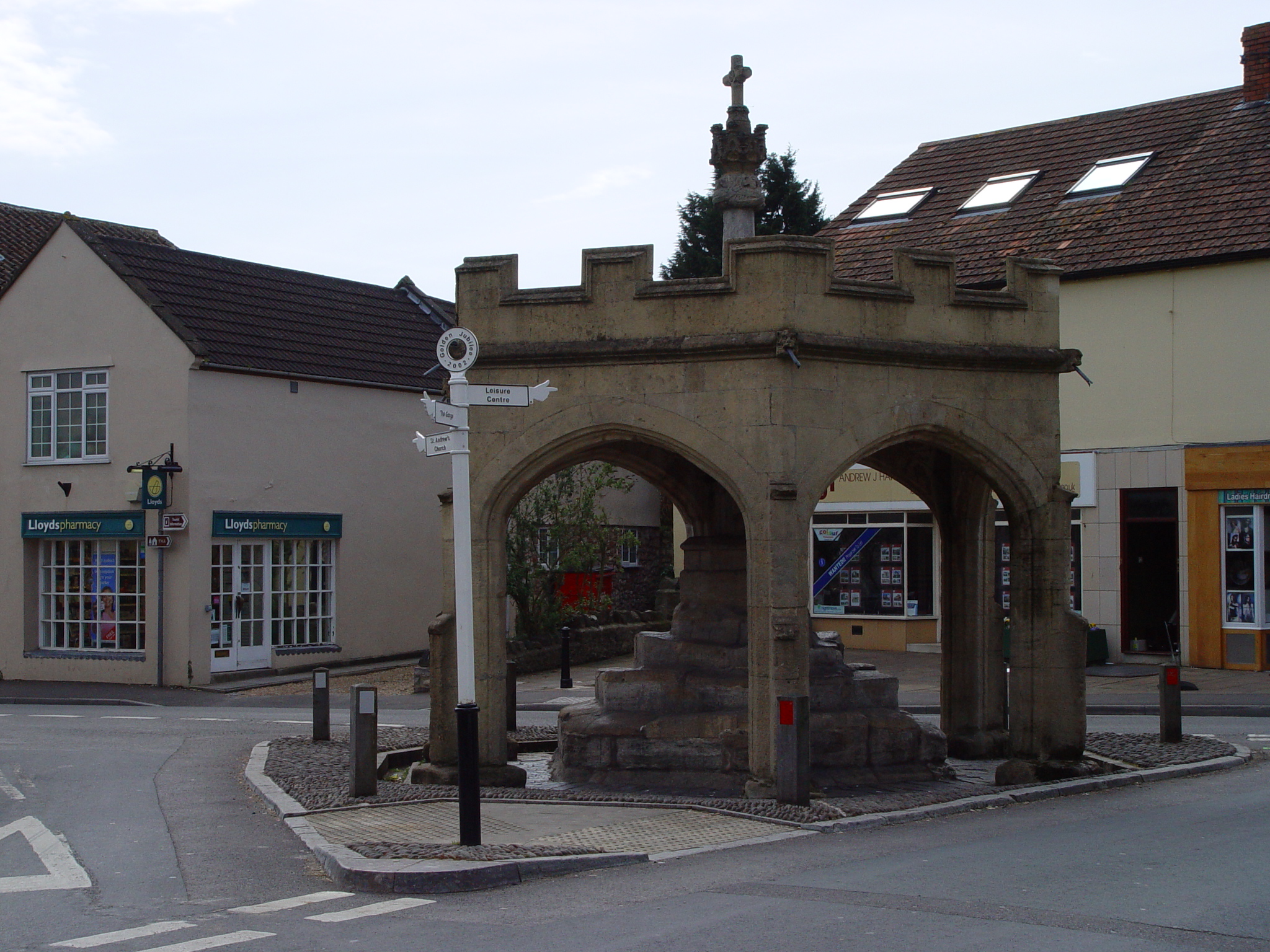
Market Cross, Cheddar

Cheddar Market Cross in the village of Cheddar within the English county of Somerset, England dates from the 15th century. It is a Scheduled Ancient Monument...

St Andrew's Church, Cheddar

The Church of St Andrew in Cheddar, Somerset, England dates from the 14th century and has been designated as a Grade I listed building.The church was restored...

Fairlands Middle School

Fairlands Middle School is a coeducational middle school with roughly 522 pupils aged between 9 and 13 in 2012, located in Cheddar, Somerset, England....

Cheddar A.F.C.

Cheddar Association Football Club is a football club based in Cheddar, near Wells in Somerset, England. They are currently members of the Western League...

Nearby Amenities

Located within 500m of 51.278488,-2.783216
YHA Cheddar Youth Hostel
Brand: YHA
Brand Wikidata: Q8059214
Contact Website: https://www.yha.org.uk/hostel/yha-cheddar
Operator: YHA
Phone: +44 345 3719730
Tourism: hostel
Lat/Long: 51.2776935/-2.7817732
Crossing
Crossing: zebra
Crossing Island: no
Source: Bing
Tactile Paving: yes
Lat/Long: 51.2756032/-2.7800007
Barrier: cycle_barrier
Bicycle: yes
Foot: yes
Lat/Long: 51.2820064/-2.7852795
Pub
Kings Head
Addr City: Cheddar
Addr Housenumber: 1
Addr Postcode: BS27 3LE
Addr Street: Silver Street
Fhrs Id: 124049
Lat/Long: 51.2822108/-2.7799268
Post Office
Cheddar Post Office
Addr City: Cheddar
Addr Country: GB
Addr County: Somerset
Addr Postcode: BS27 3AA
Addr Street: Bath Street
Branch: Cheddar
Brand: Post Office
Brand Wikidata: Q1783168
Brand Wikipedia: en:Post Office Ltd
Check Date: 2020-02-20
Contact Website: https://www.postoffice.co.uk/branch-finder/3725111/cheddar
Ref Pol Id: 14006
Lat/Long: 51.2755654/-2.7780554
Recycling
Lat/Long: 51.2746525/-2.7822226
HE Ref: 1431285
Description: Wheel cross of stone surmounts hexagonal column. Column stands on hexagonal plinth with bears bronze plaques with names. Whole stands on three-stepped base at road junction.
Heritage Operator: he
Historic: memorial
Listed Status: Grade II
Memorial: war_memorial
Lat/Long: 51.2756075/-2.7805388
Turning Circle
Source: OS_OpenData_StreetView;Bing
Lat/Long: 51.2816367/-2.778857
Atm
Brand: TSB
Brand Wikidata: Q7671560
Fee: no
Operator: TSB
Operator Wikidata: Q7671560
Lat/Long: 51.2757198/-2.7779992
Fuel
Cheddar Motors
Brand: Murco
Brand Wikidata: Q16998281
Lat/Long: 51.2798226/-2.7774776
Atm
Brand: RBS
Brand Wikidata: Q160126
Fee: no
Official Name: Royal Bank of Scotland
Operator: RBS
Operator Wikidata: Q160126
Lat/Long: 51.2755774/-2.7783883
Cheddar
Historic Railway: station
Railway: site
Source: NPE
Wikidata: Q5089197
Lat/Long: 51.2752927/-2.7842913
Old Cheddar Station
Building: yes
Wikidata: Q5089197
Wikipedia: en:Cheddar railway station
Lat/Long: 51.2756686/-2.784033
Premier express
Brand: Premier
Brand Wikidata: Q7240340
Shop: convenience
Lat/Long: 51.2797533/-2.7775308
Post Box
Drive Through: no
Operator: Royal Mail
Operator Wikidata: Q638098
Post Box Type: pillar
Ref: BS28 1138
Royal Cypher: EIIR
Royal Cypher Wikidata: Q33102113
Lat/Long: 51.275603/-2.7786256
Bicycle Parking
Bicycle Parking: stands
Capacity: 4
Covered: no
Lat/Long: 51.2756011/-2.7783882
Access: private
Door: automatic
Entrance: main
Level: 0
Lat/Long: 51.2754686/-2.782873
Bicycle Parking
Cheddar Bikes
Access: customers
Bicycle Parking: bollard
Capacity: 6
Covered: no
Operator: Cheddar Bikes
Lat/Long: 51.2757934/-2.7783887
Bus Stop
Greenhill House (South East Bound)
Bench: no
Bus: yes
Naptan AtcoCode: 3600SOB21181
Naptan NaptanCode: sotawdp
Public Transport: platform
Shelter: no
Lat/Long: 51.2802211/-2.7790248
Bus Stop
Greenhill House (North West Bound)
Bus: yes
Naptan AtcoCode: 3600SOB21182
Naptan NaptanCode: sotawdp
Public Transport: platform
Shelter: no
Lat/Long: 51.2801175/-2.7789435
Telephone
Booth: K6
Covered: booth
Lat/Long: 51.2802932/-2.7801915
Waste Basket
Lat/Long: 51.2802545/-2.7803092
Colour: green
Man Made: street_cabinet
Lat/Long: 51.2803048/-2.7802402
Colour: green
Man Made: street_cabinet
Lat/Long: 51.280286/-2.7803101
Bench
Lat/Long: 51.2802866/-2.7802535
Power: substation
Lat/Long: 51.2781105/-2.7790507
Entrance: yes
Lat/Long: 51.2772714/-2.7779097
Entrance: yes
Lat/Long: 51.2774122/-2.7783403
Entrance: yes
Lat/Long: 51.2774565/-2.778661
Entrance: yes
Lat/Long: 51.2769948/-2.7777239
Colour: green
Man Made: street_cabinet
Lat/Long: 51.2757033/-2.7778977
BGW Solicitors
Addr Housename: Bath Street Chambers
Office: lawyer
Lat/Long: 51.2755919/-2.7780144
Colour: green
Man Made: street_cabinet
Lat/Long: 51.2756112/-2.7781243
Waste Basket
Lat/Long: 51.2755931/-2.7783019
Power: substation
Lat/Long: 51.2754604/-2.7785804
Bench
Lat/Long: 51.275587/-2.7786729
Defibrillator
Booth: K6
Covered: booth
Defibrillator Location: inside old red phone box
Disused Amenity: telephone
Emergency: defibrillator
Man Made: telephone_box
Lat/Long: 51.2755857/-2.7787502
Waste Basket
Lat/Long: 51.2755863/-2.7787115
Advertising: board
Lit: no
Operator: Cheddar Arts @ Kings Theatre
Support: wall_mounted
Lat/Long: 51.2755812/-2.7790043
Colour: green
Man Made: street_cabinet
Lat/Long: 51.2756003/-2.7790419
Premier Flooring
Addr Housenumber: 1D
Addr Street: Valley Line Industrial Park
Shop: flooring
Lat/Long: 51.2752111/-2.7838003
Cheddar Tyre Supplies
Addr Housenumber: 1A
Addr Street: Valley Line Industrial Park
Shop: tyres
Lat/Long: 51.2750979/-2.7834181
Global Computers
Addr Housenumber: 1C
Addr Street: Valley Line Industrial Park
Shop: computer
Lat/Long: 51.2751768/-2.7836539
Craft: stonemason
Lat/Long: 51.275529/-2.7841947
Radford's Tiling Services
Addr Street: Valley Line Industrial Park
Shop: tiles
Lat/Long: 51.2753359/-2.7847405
Cheddar Car Shop
Addr Street: Valley Line Industrial Park
Shop: car_parts
Lat/Long: 51.2753109/-2.7846811
Infinite Computers
Addr Street: Valley Line Industrial Park
Shop: computer
Lat/Long: 51.2752759/-2.7845977
David Parkin & Son
Clothes: workwear
Shop: clothes
Lat/Long: 51.2752422/-2.7845178
Colour: green
Man Made: street_cabinet
Lat/Long: 51.2747185/-2.7841591
Bench
Lat/Long: 51.2756947/-2.7796671
Waste Basket
Lat/Long: 51.2757057/-2.779045
Power: pole
Lat/Long: 51.2757413/-2.7790002
Power: pole
Lat/Long: 51.2819562/-2.7792365
Power: pole
Lat/Long: 51.2820394/-2.7796633
Power: pole
Lat/Long: 51.2821251/-2.7799976
Power: pole
Lat/Long: 51.2822681/-2.7804152
Power: pole
Lat/Long: 51.2826114/-2.7808604
Material: wood
Power: pole
Lat/Long: 51.2812329/-2.7778681
Material: wood
Power: pole
Lat/Long: 51.2809758/-2.7778226
Material: wood
Power: pole
Lat/Long: 51.2807925/-2.7777841
Power: pole
Lat/Long: 51.2806304/-2.7771991
Power: pole
Lat/Long: 51.2804617/-2.7769832
Power: pole
Lat/Long: 51.2801543/-2.7770147
Material: wood
Power: pole
Lat/Long: 51.2803915/-2.7778401
Power: pole
Lat/Long: 51.2798714/-2.7770502
Power: pole
Lat/Long: 51.2795728/-2.7770301
Power: pole
Lat/Long: 51.2794511/-2.7765647
Power: pole
Lat/Long: 51.2795835/-2.7776652
Power: pole
Lat/Long: 51.279807/-2.7781217
Power: substation
Lat/Long: 51.2802778/-2.7768425
Entrance: main
Level: 0
Lat/Long: 51.2805749/-2.7788051
Entrance: main
Level: 0
Lat/Long: 51.2808311/-2.7789438
Entrance: main
Level: 0
Lat/Long: 51.2810529/-2.7787979
Power: substation
Lat/Long: 51.2819376/-2.7792924
Power: pole
Lat/Long: 51.2816293/-2.7788651
Power: pole
Lat/Long: 51.27768/-2.7901157
Power: pole
Lat/Long: 51.277799/-2.7894264
Power: pole
Lat/Long: 51.2777547/-2.788723
Power: pole
Lat/Long: 51.2776468/-2.7884601
Power: pole
Lat/Long: 51.2779388/-2.7883193
Power: pole
Lat/Long: 51.2782131/-2.7881973
Power: pole
Lat/Long: 51.2782466/-2.7875643
Power: pole
Lat/Long: 51.2786048/-2.7886425
Power: pole
Lat/Long: 51.2770124/-2.7882593
Material: wood
Power: pole
Lat/Long: 51.2765216/-2.7882471
Material: wood
Power: pole
Lat/Long: 51.2761058/-2.7880947
Material: wood
Power: pole
Lat/Long: 51.2756976/-2.7880967
Material: wood
Power: pole
Lat/Long: 51.275269/-2.7881008
Material: wood
Power: pole
Lat/Long: 51.2743787/-2.7855265
Noexit: yes
Lat/Long: 51.2772761/-2.7873096
Crossing
Crossing: marked
Crossing Markings: yes
Lat/Long: 51.2804258/-2.788986
Post Box
Post Box Type: wall
Lat/Long: 51.2803118/-2.7801799
Revolution Laundry
Addr City: Cheddar
Addr Postcode: BS27 3JE
Addr Street: Tweentown
Brand: Revolution Laundry
Brand Wikidata: Q113516904
Opening Hours: 24/7
Payment Cash: yes
Payment Contactless: yes
Payment Mastercard: yes
Payment Visa: yes
Self Service: yes
Shop: laundry
Lat/Long: 51.2796786/-2.7774878
Traffic Signals
Traffic Signals: pedestrian_crossing
Traffic Signals Direction: forward
Lat/Long: 51.2803957/-2.7889795
Traffic Signals
Traffic Signals: pedestrian_crossing
Traffic Signals Direction: backward
Lat/Long: 51.280475/-2.7889966
The data included in this document is from www.openstreetmap.org. The data is made available under ODbL.

Have you been to Hillfield?

Leave your review of Hillfield below (or comments, questions and feedback).