Hillesden
Settlement in Buckinghamshire
England
Hillesden
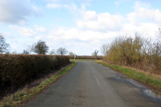
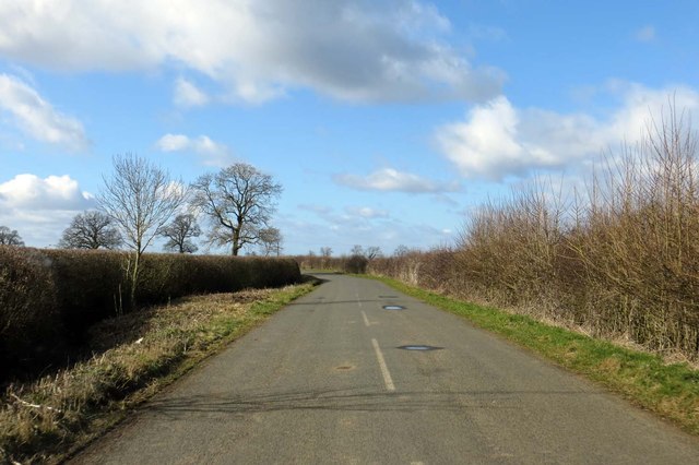
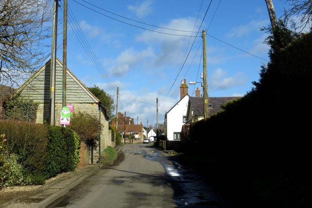
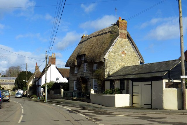
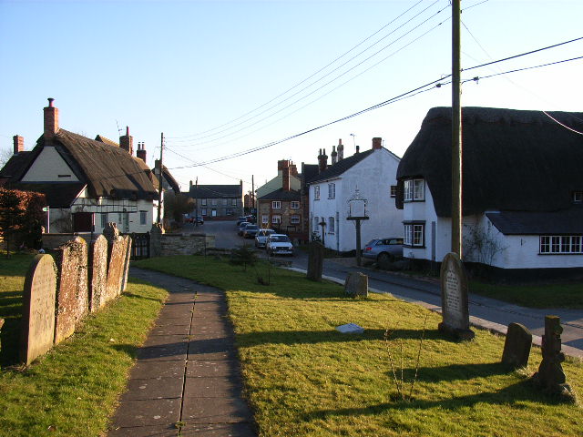
Hillesden is a small village located in the county of Buckinghamshire, England. Situated approximately four miles northwest of Buckingham, it is nestled amidst the picturesque countryside of the Aylesbury Vale. The village is home to a population of around 500 residents.
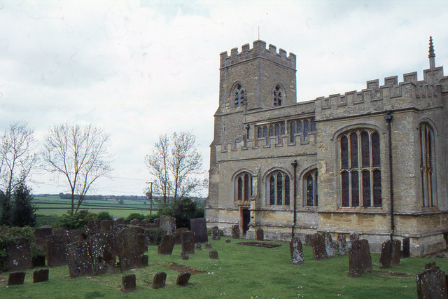
Historically, Hillesden has a rich heritage that dates back to the medieval period. The village is best known for its imposing manor house, Hillesden House, which was constructed in the early 17th century. The house, once owned by the Earl of Chesterfield, is a Grade I listed building and remains a prominent landmark in the area.
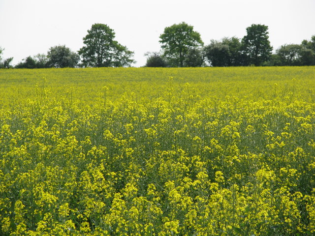
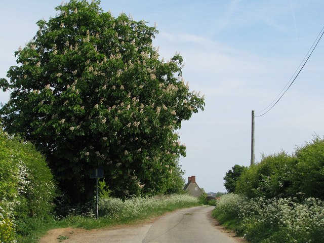
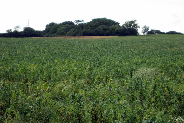
In addition to its architectural gems, Hillesden boasts a tranquil and picturesque environment, with lush green landscapes and rolling hills. The village is surrounded by farmland and offers stunning views of the Buckinghamshire countryside.
Despite its small size, Hillesden has a strong community spirit and a range of amenities. The village has a local pub, The Phoenix, which serves as a hub for social gatherings and events. There is also a village hall that hosts various activities and clubs, providing opportunities for residents to engage in recreational pursuits and foster community connections.
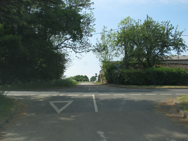
Access to Hillesden is facilitated by the nearby A421 road, which connects the village to Buckingham and other neighboring towns. It is also within a short distance of the A43, providing convenient links to larger cities such as Oxford and Milton Keynes.
Overall, Hillesden offers a peaceful and idyllic setting for its residents, with a rich history and a strong sense of community.
If you have any feedback on the listing, please let us know in the comments section below.
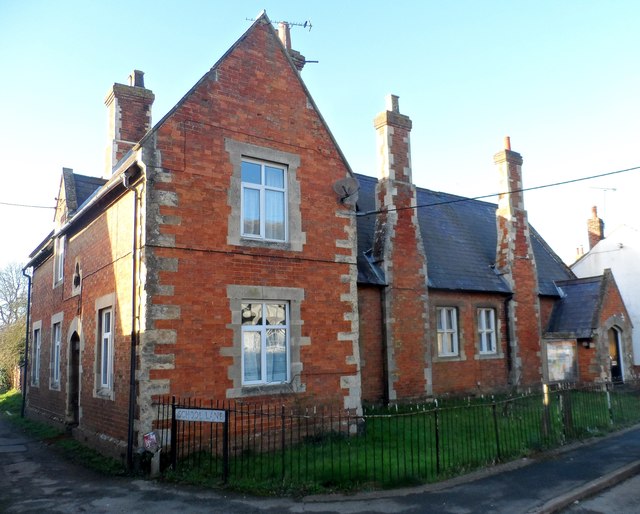
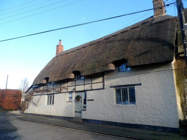
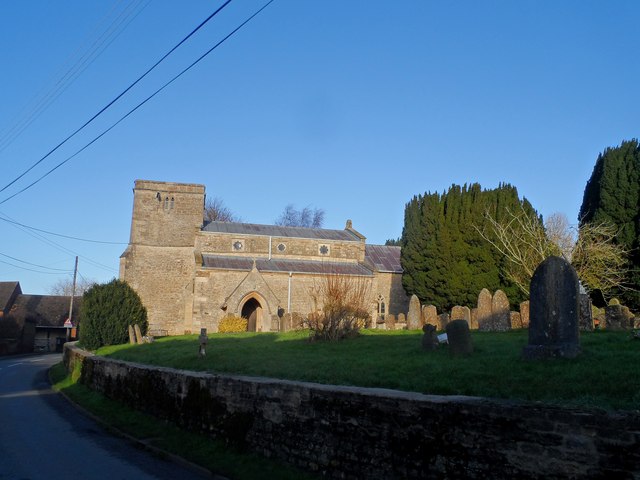
Hillesden Images
Images are sourced within 2km of 51.965705/-1.0192423 or Grid Reference SP6730. Thanks to Geograph Open Source API. All images are credited.
Hillesden is located at Grid Ref: SP6730 (Lat: 51.965705, Lng: -1.0192423)
Unitary Authority: Buckinghamshire
Police Authority: Thames Valley
What 3 Words
///debating.outbound.takes. Near Tingewick, Buckinghamshire
Nearby Locations
Related Wikis

Hillesden
Hillesden is a village and civil parish in north-west Buckinghamshire, England, about 4 miles (6.4 km) south of Buckingham. The village name is Anglo-Saxon...
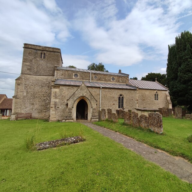
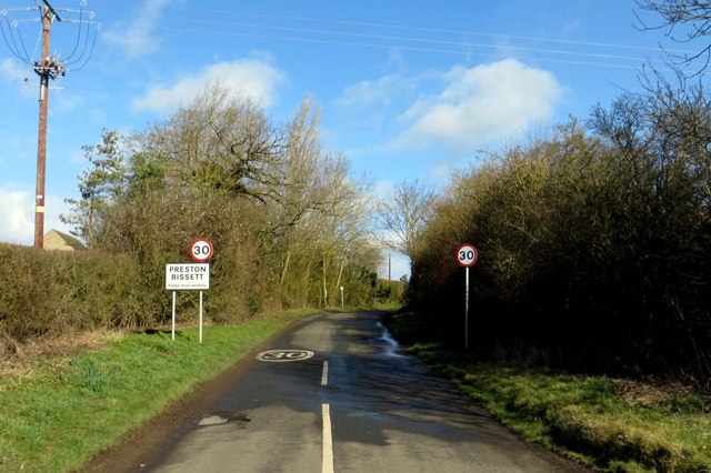
Preston Bissett
Preston Bissett is a village and civil parish in the unitary authority area of Buckinghamshire, England. It is about four miles SSW of Buckingham, six...
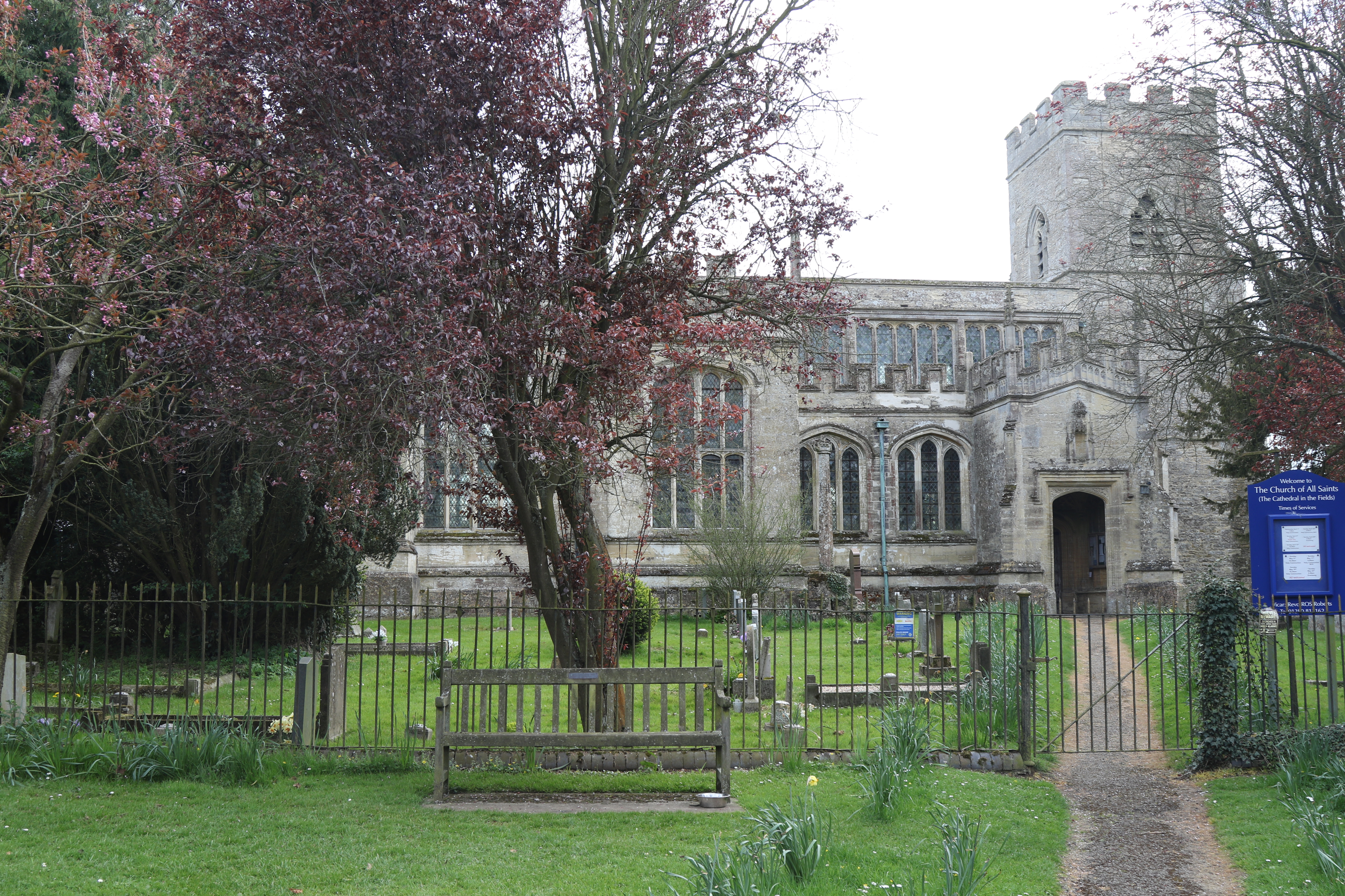
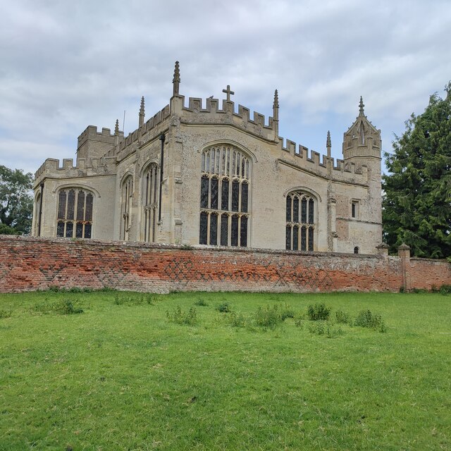
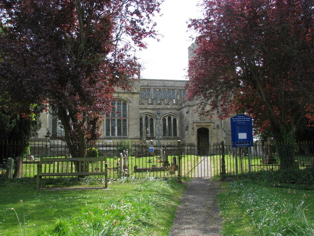
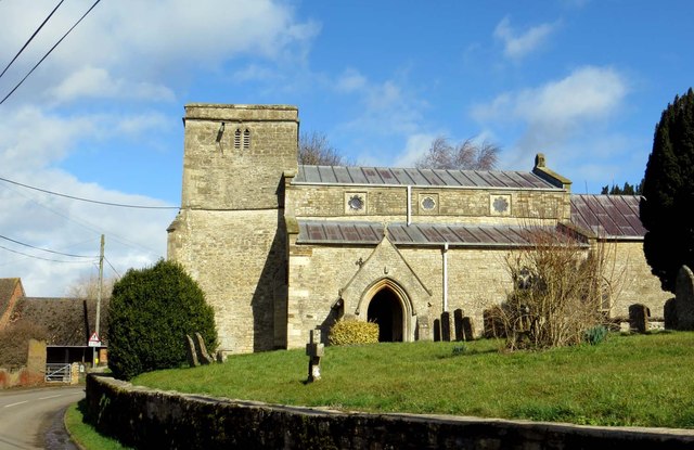
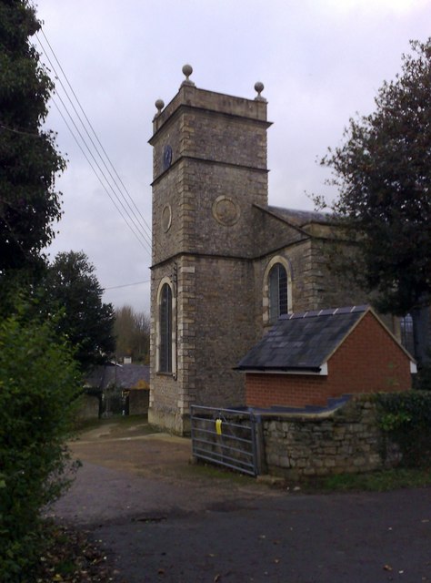
All Saints' Church, Hillesden
All Saints’ Church, Hillesden is a Grade I listed parish church in the Church of England in Hillesden, Buckinghamshire. == History == The church tower...
Gawcott
Gawcott is a village about 1.5 miles (2.4 km) south-west of Buckingham in the Buckinghamshire district in the ceremonial county of Buckinghamshire, England...

Tingewick Meadows
Tingewick Meadows is an 11.1-hectare (27-acre) biological Site of Special Scientific Interest south of Tingewick in Buckinghamshire.The site is one of...

Lenborough Hoard
The Lenborough Hoard is a hoard of more than 5,000 late Anglo-Saxon silver coins, dating to the eleventh century, that was found at Lenborough in Buckinghamshire...

Lenborough
Lenborough is a hamlet in the parish of Buckingham next to Gawcott, in Buckinghamshire, England. It is in the civil parish of Gawcott with Lenborough....

Tingewick
Tingewick is a village and civil parish about 2.5 miles (4.0 km) west of Buckingham in the unitary authority area of Buckinghamshire, England. The parish...
Related Videos

After Holiday Aldi Shop
Welcome to My Life with Cheryl You Tube Channel, today we head to Aldi to do our after holiday food shop.

After Holiday Food Shop #SGFAM
Welcome to the #SGFAM!, #autismfamilyvlogs #autism #autismfamily On Today's Vlog it's time to stock up the house again after ...
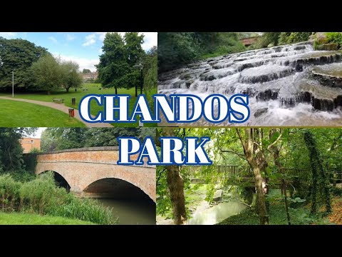
Chandos Park, Buckinghamshire
The beautiful Chandos Park sits at the very centre of Buckingham - the main entrance is from Chandos Road and there are other ...
Nearby Amenities
Located within 500m of 51.965705,-1.0192423Have you been to Hillesden?
Leave your review of Hillesden below (or comments, questions and feedback).