Barrows

Settlement in Somerset Sedgemoor

England

Barrows

North Street Chapel, Cheddar
North Street Chapel, Cheddar Credit: PAUL FARMER

Barrows, Somerset is a small village located in the southwest of England, within the county of Somerset. Situated just 3 miles northeast of Yeovil, Barrows is surrounded by picturesque rolling hills and countryside, making it a popular destination for those seeking a tranquil escape.

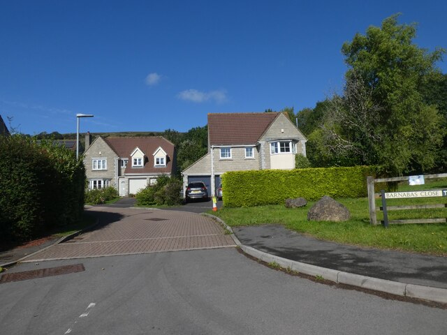
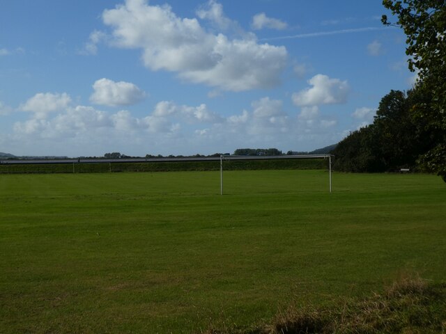
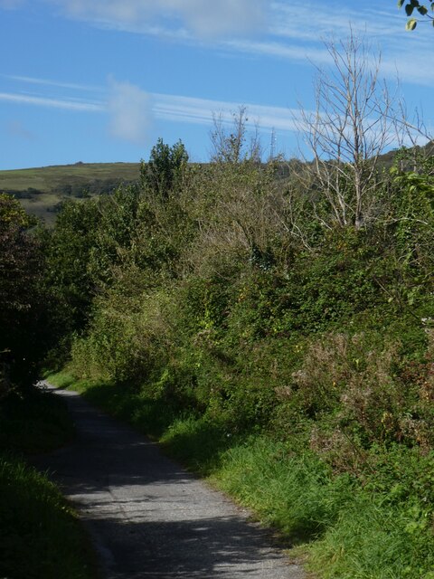
The village is home to a close-knit community of around 500 residents. The local economy is primarily supported by agriculture and small businesses, with farming playing a significant role in the area's heritage. The landscape surrounding Barrows is dotted with patchwork fields of crops and grazing livestock, providing a scenic backdrop to the village.

Barrows boasts a number of amenities that cater to the needs of its residents. These include a primary school, village hall, and a local pub, which serves as a social hub for the community. The village also benefits from excellent transport links, with the A37 road running nearby, connecting Barrows to other nearby towns and cities.

Nature and outdoor enthusiasts are drawn to Barrows for its proximity to the stunning countryside and nature reserves in the surrounding area. The village is within easy reach of popular destinations such as Ham Hill Country Park, offering opportunities for walking, cycling, and wildlife spotting.

Overall, Barrows, Somerset offers a peaceful and idyllic setting for those seeking a rural lifestyle, whilst still being within reach of larger towns and cities. Its strong sense of community and beautiful natural surroundings make it a desirable place to live or visit.

If you have any feedback on the listing, please let us know in the comments section below.
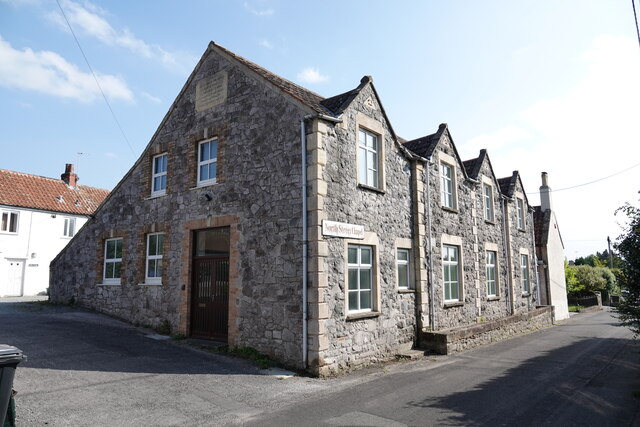
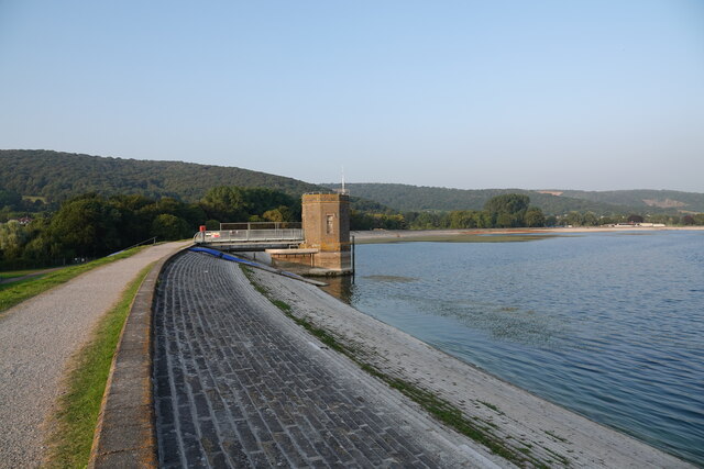
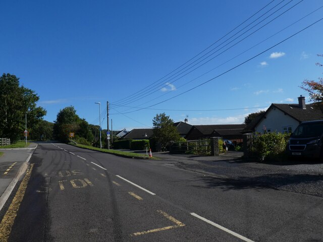
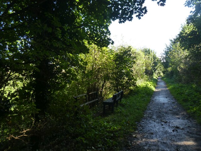
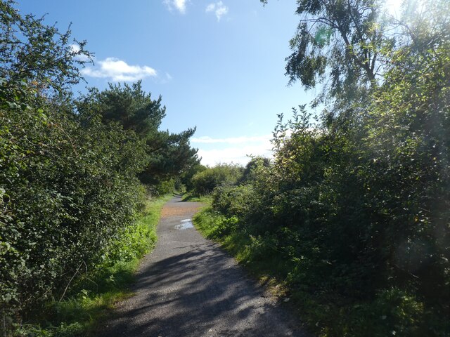
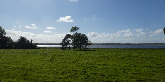
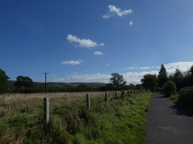
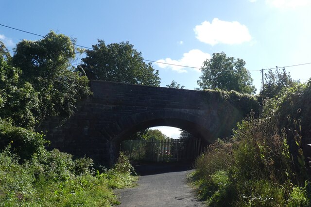
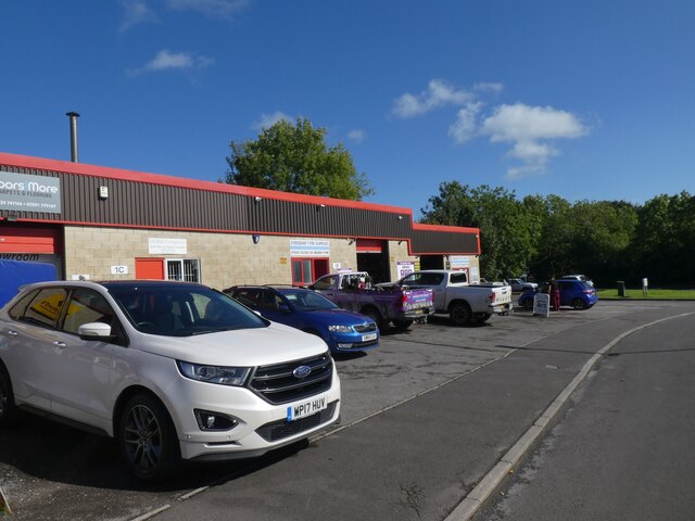
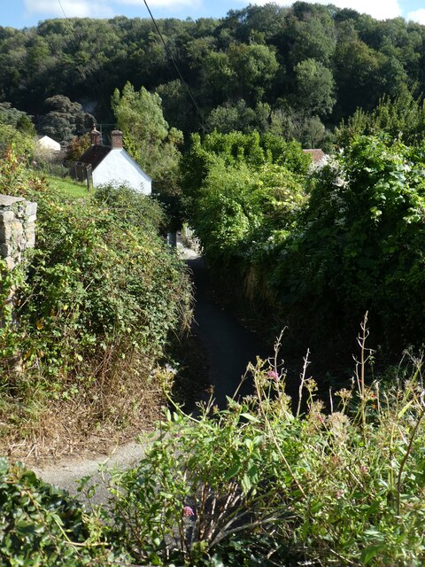
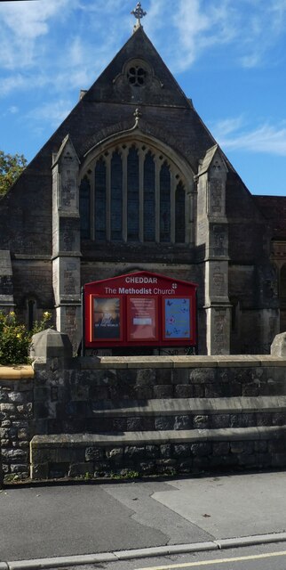
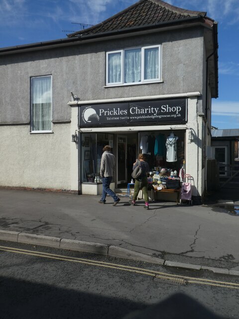
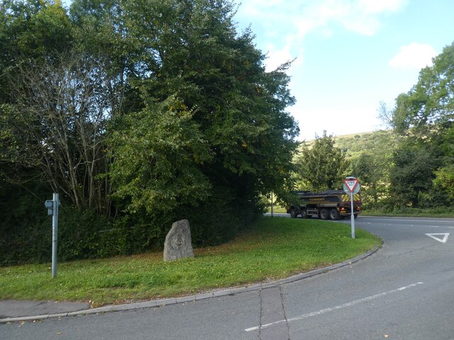
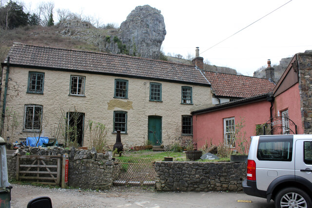
Barrows Images

Images are sourced within 2km of 51.279651/-2.7841104 or Grid Reference ST4553. Thanks to Geograph Open Source API. All images are credited.

North Street Chapel, Cheddar
Intake tower at Cheddar reservoir
Bus stop in Cheddar Road, Axbridge Axbridge is a historic village in Somerset.  It boasts a mediaeval market square.  The Strawberry Line path and National Cycle Network route 26 both pass through the centre of the village.

More information about Axbridge is available on the Visit Somerset website: <span class="nowrap"><a title="https://www.visitsomerset.co.uk/discover-somerset/towns-villages/north-somerset/axbridge/" rel="nofollow ugc noopener" href="https://www.visitsomerset.co.uk/discover-somerset/towns-villages/north-somerset/axbridge/">Link</a><img style="margin-left:2px;" alt="External link" title="External link - shift click to open in new window" src="https://s1.geograph.org.uk/img/external.png" width="10" height="10"/></span>
Bus stop in Cheddar Road, Axbridge
Axbridge is a historic village in Somerset. It boasts a mediaeval market square. The Strawberry Line path and National Cycle Network route 26 both pass through the centre of the village. More information about Axbridge is available on the Visit Somerset website: LinkExternal link
Barnabas Close, Axbridge A short road with modern houses
Barnabas Close, Axbridge
A short road with modern houses
Strawberry Line crossing Ellenge Stream south-east of Axbridge The seat looks over the bridge railing
Strawberry Line crossing Ellenge Stream south-east of Axbridge
The seat looks over the bridge railing
Strawberry Line south-east of Axbridge The National Cycle Network is a network of cycle routes. It was created by the charity Sustrans <span class="nowrap"><a title="http://www.sustrans.org.uk/what-we-do/national-cycle-network" rel="nofollow ugc noopener" href="http://www.sustrans.org.uk/what-we-do/national-cycle-network">Link</a><img style="margin-left:2px;" alt="External link" title="External link - shift click to open in new window" src="https://s1.geograph.org.uk/img/external.png" width="10" height="10"/></span>  (Sustainable Transport), aided by a National Lottery grant.

Many routes aim to minimise contact with motor traffic, though 70% of them are on roads. In some cases the NCN uses pedestrian routes, disused railways, minor roads, canal towpaths, or traffic-calmed routes in towns and cities.
Strawberry Line south-east of Axbridge
The National Cycle Network is a network of cycle routes. It was created by the charity Sustrans LinkExternal link (Sustainable Transport), aided by a National Lottery grant. Many routes aim to minimise contact with motor traffic, though 70% of them are on roads. In some cases the NCN uses pedestrian routes, disused railways, minor roads, canal towpaths, or traffic-calmed routes in towns and cities.
Grassland by Cheddar Reservoir
Strawberry Line north-west of Cheddar The National Cycle Network is a network of cycle routes. It was created by the charity Sustrans <span class="nowrap"><a title="http://www.sustrans.org.uk/what-we-do/national-cycle-network" rel="nofollow ugc noopener" href="http://www.sustrans.org.uk/what-we-do/national-cycle-network">Link</a><img style="margin-left:2px;" alt="External link" title="External link - shift click to open in new window" src="https://s1.geograph.org.uk/img/external.png" width="10" height="10"/></span>  (Sustainable Transport), aided by a National Lottery grant.

Many routes aim to minimise contact with motor traffic, though 70% of them are on roads. In some cases the NCN uses pedestrian routes, disused railways, minor roads, canal towpaths, or traffic-calmed routes in towns and cities.
Strawberry Line north-west of Cheddar
The National Cycle Network is a network of cycle routes. It was created by the charity Sustrans LinkExternal link (Sustainable Transport), aided by a National Lottery grant. Many routes aim to minimise contact with motor traffic, though 70% of them are on roads. In some cases the NCN uses pedestrian routes, disused railways, minor roads, canal towpaths, or traffic-calmed routes in towns and cities.
Bridge for Lower New Road, Cheddar over Strawberry Line The National Cycle Network is a network of cycle routes. It was created by the charity Sustrans <span class="nowrap"><a title="http://www.sustrans.org.uk/what-we-do/national-cycle-network" rel="nofollow ugc noopener" href="http://www.sustrans.org.uk/what-we-do/national-cycle-network">Link</a><img style="margin-left:2px;" alt="External link" title="External link - shift click to open in new window" src="https://s1.geograph.org.uk/img/external.png" width="10" height="10"/></span>  (Sustainable Transport), aided by a National Lottery grant.

Many routes aim to minimise contact with motor traffic, though 70% of them are on roads. In some cases the NCN uses pedestrian routes, disused railways, minor roads, canal towpaths, or traffic-calmed routes in towns and cities.
Bridge for Lower New Road, Cheddar over Strawberry Line
The National Cycle Network is a network of cycle routes. It was created by the charity Sustrans LinkExternal link (Sustainable Transport), aided by a National Lottery grant. Many routes aim to minimise contact with motor traffic, though 70% of them are on roads. In some cases the NCN uses pedestrian routes, disused railways, minor roads, canal towpaths, or traffic-calmed routes in towns and cities.
Workshops, Wedmore Road, Cheddar
The edge of Cheddar and woodland in Cheddar Gorge Cheddar Gorge is a limestone gorge in the Mendip Hills, west of the village of Cheddar. The gorge is the site of the Cheddar show caves, where Britain's oldest complete human skeleton, Cheddar Man, estimated to be over 9,000 years old, was found in 1903. Older remains from the Upper Late Palaeolithic era (12,000–13,000 years ago) have been found. The caves, produced by the activity of an underground river, contain stalactites and stalagmites.

Extract from Wikipedia <span class="nowrap"><a title="http://en.wikipedia.org/wiki/Cheddar_Gorge" rel="nofollow ugc noopener" href="http://en.wikipedia.org/wiki/Cheddar_Gorge">Link</a><img style="margin-left:2px;" alt="External link" title="External link - shift click to open in new window" src="https://s1.geograph.org.uk/img/external.png" width="10" height="10"/></span>
The edge of Cheddar and woodland in Cheddar Gorge
Cheddar Gorge is a limestone gorge in the Mendip Hills, west of the village of Cheddar. The gorge is the site of the Cheddar show caves, where Britain's oldest complete human skeleton, Cheddar Man, estimated to be over 9,000 years old, was found in 1903. Older remains from the Upper Late Palaeolithic era (12,000–13,000 years ago) have been found. The caves, produced by the activity of an underground river, contain stalactites and stalagmites. Extract from Wikipedia LinkExternal link
Cheddar Methodist Chapel
Prickles Charity Shop, Cheddar
Builders' merchants, Wedmore Road, Cheddar The Strawberry Line runs to the right of the gate
Builders' merchants, Wedmore Road, Cheddar
The Strawberry Line runs to the right of the gate
Sharpham Road playing fields, Cheddar
Hedge by Strawberry Line, north-west of Cheddar The National Cycle Network is a network of cycle routes. It was created by the charity Sustrans <span class="nowrap"><a title="http://www.sustrans.org.uk/what-we-do/national-cycle-network" rel="nofollow ugc noopener" href="http://www.sustrans.org.uk/what-we-do/national-cycle-network">Link</a><img style="margin-left:2px;" alt="External link" title="External link - shift click to open in new window" src="https://s1.geograph.org.uk/img/external.png" width="10" height="10"/></span>  (Sustainable Transport), aided by a National Lottery grant.

Many routes aim to minimise contact with motor traffic, though 70% of them are on roads. In some cases the NCN uses pedestrian routes, disused railways, minor roads, canal towpaths, or traffic-calmed routes in towns and cities.
Hedge by Strawberry Line, north-west of Cheddar
The National Cycle Network is a network of cycle routes. It was created by the charity Sustrans LinkExternal link (Sustainable Transport), aided by a National Lottery grant. Many routes aim to minimise contact with motor traffic, though 70% of them are on roads. In some cases the NCN uses pedestrian routes, disused railways, minor roads, canal towpaths, or traffic-calmed routes in towns and cities.
The Axbridge Stone by A371 The stone is described <a href="https://www.geograph.org.uk/photo/6706199">ST4354 : Axbridge stone</a>; it stands at the junction of Axbridge bypass with the main street through the village
The Axbridge Stone by A371
The stone is described ST4354 : Axbridge stone; it stands at the junction of Axbridge bypass with the main street through the village
Rose Cottage, The Cliffs, Cheddar Grade II Listed early 19th century cottage previously Cheddar Toy and Model Museum, the pink south wing containing Cheddar Models. In 2015 sales particulars it was described as “The interior space offers some 1,473 sq.ft. of floor space and requires total renovation. It is divided into the residential area which is two storey – some floors are missing. The shop premises are single storey and have been modernised with sash windows and new rendered walls and a separate door onto the street”. The museum opened in May 1996 under the famous Lion Rock. In August 2011 the museum website was offering the business for sale and by June 2012 its website was reporting it closed. The building appears to have sold in May 2015 and in January 2020 it was reported Listed Building Consent had been granted for renovation work. A search of my directories only locates one entry for Rose Cottage, 1914 Miss Sarah Stephens, refreshment rooms, Rose Cottage, Cliff Road. From what I can make out there seems to be no business here in the 1890s but in the 1920s and 1940s photos seem to show a shop.
Rose Cottage, The Cliffs, Cheddar
Grade II Listed early 19th century cottage previously Cheddar Toy and Model Museum, the pink south wing containing Cheddar Models. In 2015 sales particulars it was described as “The interior space offers some 1,473 sq.ft. of floor space and requires total renovation. It is divided into the residential area which is two storey – some floors are missing. The shop premises are single storey and have been modernised with sash windows and new rendered walls and a separate door onto the street”. The museum opened in May 1996 under the famous Lion Rock. In August 2011 the museum website was offering the business for sale and by June 2012 its website was reporting it closed. The building appears to have sold in May 2015 and in January 2020 it was reported Listed Building Consent had been granted for renovation work. A search of my directories only locates one entry for Rose Cottage, 1914 Miss Sarah Stephens, refreshment rooms, Rose Cottage, Cliff Road. From what I can make out there seems to be no business here in the 1890s but in the 1920s and 1940s photos seem to show a shop.
Show me another place!

Barrows is located at Grid Ref: ST4553 (Lat: 51.279651, Lng: -2.7841104)

Administrative County: Somerset

District: Sedgemoor

Police Authority: Avon and Somerset

What 3 Words

///knitted.unfilled.founders. Near Cheddar, Somerset

Related Wikis

Cheddar, Somerset

Cheddar is a large village and civil parish in the English county of Somerset. It is situated on the southern edge of the Mendip Hills, 9 miles (14 km...

Cheddar railway station

Cheddar railway station was a station on the Bristol and Exeter Railway's Cheddar Valley line in Cheddar, Somerset, England. The station had substantial...

The Kings of Wessex Academy

The Kings of Wessex Academy, formerly known as the Kings of Wessex School, is a coeducational secondary school located in Cheddar, Somerset, England. As...

Cheddar Palace

The Cheddar Palace was established in the 9th century, in Cheddar, Somerset, England. It was a royal hunting lodge in the Anglo-Saxon and medieval periods...

Nearby Amenities

Located within 500m of 51.279651,-2.7841104
YHA Cheddar Youth Hostel
Brand: YHA
Brand Wikidata: Q8059214
Contact Website: https://www.yha.org.uk/hostel/yha-cheddar
Operator: YHA
Phone: +44 345 3719730
Tourism: hostel
Lat/Long: 51.2776935/-2.7817732
Barrier: cycle_barrier
Bicycle: yes
Foot: yes
Lat/Long: 51.2820064/-2.7852795
Pub
Kings Head
Addr City: Cheddar
Addr Housenumber: 1
Addr Postcode: BS27 3LE
Addr Street: Silver Street
Fhrs Id: 124049
Lat/Long: 51.2822108/-2.7799268
Turning Circle
Source: OS_OpenData_StreetView;Bing
Lat/Long: 51.2816367/-2.778857
Fuel
Cheddar Motors
Brand: Murco
Brand Wikidata: Q16998281
Lat/Long: 51.2798226/-2.7774776
Cheddar
Historic Railway: station
Railway: site
Source: NPE
Wikidata: Q5089197
Lat/Long: 51.2752927/-2.7842913
Old Cheddar Station
Building: yes
Wikidata: Q5089197
Wikipedia: en:Cheddar railway station
Lat/Long: 51.2756686/-2.784033
Premier express
Brand: Premier
Brand Wikidata: Q7240340
Shop: convenience
Lat/Long: 51.2797533/-2.7775308
Access: private
Door: automatic
Entrance: main
Level: 0
Lat/Long: 51.2754686/-2.782873
Bus Stop
Greenhill House (South East Bound)
Bench: no
Bus: yes
Naptan AtcoCode: 3600SOB21181
Naptan NaptanCode: sotawdp
Public Transport: platform
Shelter: no
Lat/Long: 51.2802211/-2.7790248
Bus Stop
Greenhill House (North West Bound)
Bus: yes
Naptan AtcoCode: 3600SOB21182
Naptan NaptanCode: sotawdp
Public Transport: platform
Shelter: no
Lat/Long: 51.2801175/-2.7789435
Telephone
Booth: K6
Covered: booth
Lat/Long: 51.2802932/-2.7801915
Waste Basket
Lat/Long: 51.2802545/-2.7803092
Colour: green
Man Made: street_cabinet
Lat/Long: 51.2803048/-2.7802402
Colour: green
Man Made: street_cabinet
Lat/Long: 51.280286/-2.7803101
Bench
Lat/Long: 51.2802866/-2.7802535
Power: substation
Lat/Long: 51.2781105/-2.7790507
Entrance: yes
Lat/Long: 51.2774122/-2.7783403
Entrance: yes
Lat/Long: 51.2774565/-2.778661
Premier Flooring
Addr Housenumber: 1D
Addr Street: Valley Line Industrial Park
Shop: flooring
Lat/Long: 51.2752111/-2.7838003
Global Computers
Addr Housenumber: 1C
Addr Street: Valley Line Industrial Park
Shop: computer
Lat/Long: 51.2751768/-2.7836539
Craft: stonemason
Lat/Long: 51.275529/-2.7841947
Radford's Tiling Services
Addr Street: Valley Line Industrial Park
Shop: tiles
Lat/Long: 51.2753359/-2.7847405
Cheddar Car Shop
Addr Street: Valley Line Industrial Park
Shop: car_parts
Lat/Long: 51.2753109/-2.7846811
Infinite Computers
Addr Street: Valley Line Industrial Park
Shop: computer
Lat/Long: 51.2752759/-2.7845977
David Parkin & Son
Clothes: workwear
Shop: clothes
Lat/Long: 51.2752422/-2.7845178
Power: pole
Lat/Long: 51.2820293/-2.7787151
Power: pole
Lat/Long: 51.2819562/-2.7792365
Power: pole
Lat/Long: 51.2820394/-2.7796633
Power: pole
Lat/Long: 51.2821251/-2.7799976
Power: pole
Lat/Long: 51.2822681/-2.7804152
Power: pole
Lat/Long: 51.2826114/-2.7808604
Material: wood
Power: pole
Lat/Long: 51.2816258/-2.7779277
Material: wood
Power: pole
Lat/Long: 51.2812329/-2.7778681
Material: wood
Power: pole
Lat/Long: 51.2809758/-2.7778226
Material: wood
Power: pole
Lat/Long: 51.2807925/-2.7777841
Power: pole
Lat/Long: 51.2806304/-2.7771991
Power: pole
Lat/Long: 51.2801543/-2.7770147
Material: wood
Power: pole
Lat/Long: 51.2803915/-2.7778401
Power: pole
Lat/Long: 51.2798714/-2.7770502
Power: pole
Lat/Long: 51.2795728/-2.7770301
Power: pole
Lat/Long: 51.2795835/-2.7776652
Power: pole
Lat/Long: 51.279807/-2.7781217
Entrance: main
Level: 0
Lat/Long: 51.2805749/-2.7788051
Entrance: main
Level: 0
Lat/Long: 51.2808311/-2.7789438
Entrance: main
Level: 0
Lat/Long: 51.2810529/-2.7787979
Power: substation
Lat/Long: 51.2819376/-2.7792924
Power: pole
Lat/Long: 51.2816293/-2.7788651
Power: pole
Lat/Long: 51.27768/-2.7901157
Power: pole
Lat/Long: 51.277799/-2.7894264
Power: pole
Lat/Long: 51.2777547/-2.788723
Power: pole
Lat/Long: 51.2776468/-2.7884601
Power: pole
Lat/Long: 51.2779388/-2.7883193
Power: pole
Lat/Long: 51.2782131/-2.7881973
Power: pole
Lat/Long: 51.2782466/-2.7875643
Power: pole
Lat/Long: 51.2786048/-2.7886425
Power: pole
Lat/Long: 51.2770124/-2.7882593
Material: wood
Power: pole
Lat/Long: 51.2765216/-2.7882471
Material: wood
Power: pole
Lat/Long: 51.2761058/-2.7880947
Power: pole
Lat/Long: 51.283935/-2.7822469
Power: pole
Lat/Long: 51.283534/-2.7822122
Power: pole
Lat/Long: 51.2831383/-2.7826042
Power: pole
Lat/Long: 51.2831809/-2.7815433
Power: pole
Lat/Long: 51.2833845/-2.7818786
Power: pole
Lat/Long: 51.2828256/-2.7811451
Noexit: yes
Lat/Long: 51.2783632/-2.7905055
Noexit: yes
Lat/Long: 51.2772761/-2.7873096
Crossing
Crossing: marked
Crossing Markings: yes
Lat/Long: 51.2804258/-2.788986
Post Box
Post Box Type: wall
Lat/Long: 51.2803118/-2.7801799
Revolution Laundry
Addr City: Cheddar
Addr Postcode: BS27 3JE
Addr Street: Tweentown
Brand: Revolution Laundry
Brand Wikidata: Q113516904
Opening Hours: 24/7
Payment Cash: yes
Payment Contactless: yes
Payment Mastercard: yes
Payment Visa: yes
Self Service: yes
Shop: laundry
Lat/Long: 51.2796786/-2.7774878
Traffic Signals
Traffic Signals: pedestrian_crossing
Traffic Signals Direction: forward
Lat/Long: 51.2803957/-2.7889795
Traffic Signals
Traffic Signals: pedestrian_crossing
Traffic Signals Direction: backward
Lat/Long: 51.280475/-2.7889966
The data included in this document is from www.openstreetmap.org. The data is made available under ODbL.

Have you been to Barrows?

Leave your review of Barrows below (or comments, questions and feedback).