Hambleton
Settlement in Yorkshire Hambleton
England
Hambleton
Hambleton is a district located in the county of North Yorkshire, England. It covers an area of approximately 1,311 square kilometers and is home to a population of around 90,000 people. The district is named after the prominent hill, Hambleton Hill, which lies towards its western boundary.
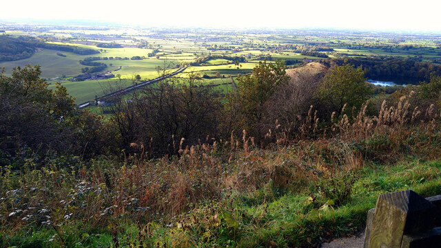
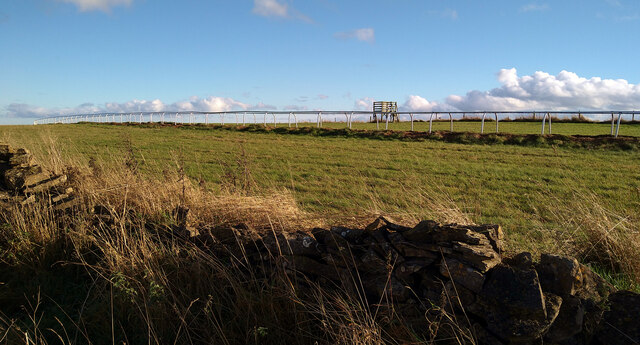
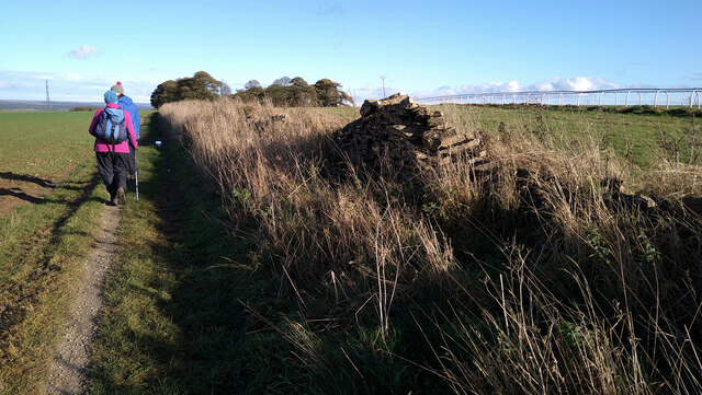
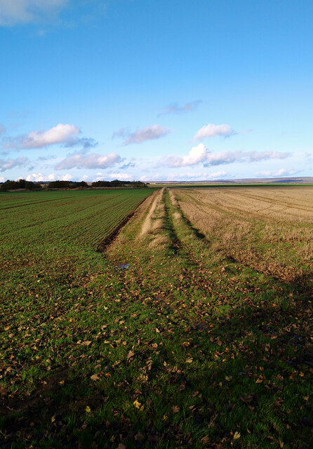
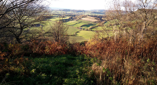
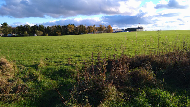
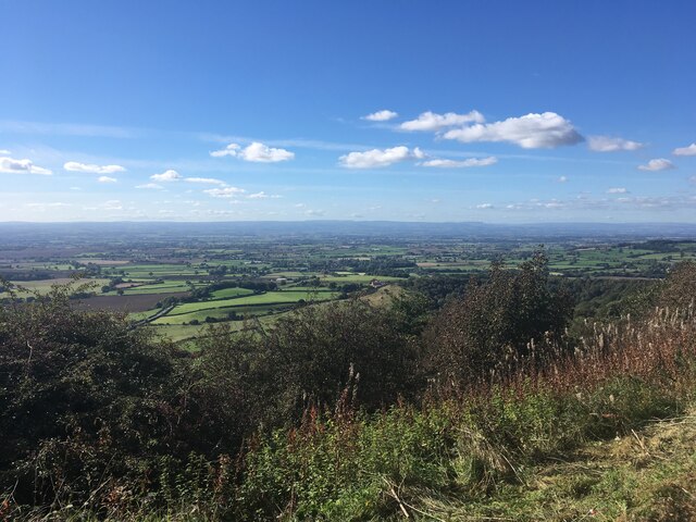
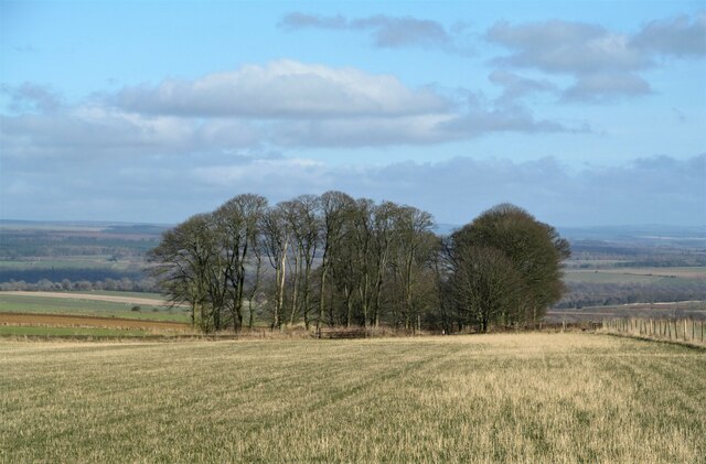
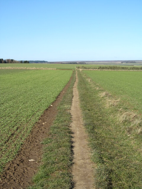
The landscape of Hambleton is characterized by its rolling hills, picturesque villages, and vast stretches of farmland. It is a predominantly rural area, with agriculture playing a significant role in the local economy. The fertile soil and favorable climate make it ideal for farming, particularly for sheep rearing and cereal cultivation.
The district is dotted with charming market towns, such as Thirsk, Northallerton, and Easingwold, which offer a range of amenities and services to both residents and visitors. These towns boast traditional architecture, quaint streets, and a rich history, with some buildings dating back several centuries.
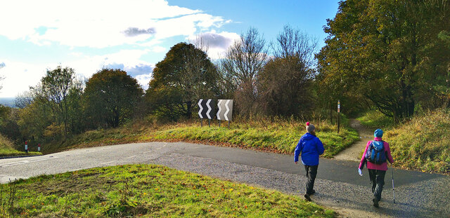
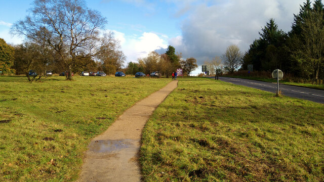
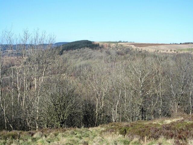
Hambleton also encompasses the stunning North York Moors National Park, which covers a substantial portion of its southeastern area. This expansive natural reserve is a haven for outdoor enthusiasts, offering diverse landscapes, including heather moorland, ancient woodlands, and dramatic coastline.
The district benefits from excellent transport links, with the A1(M) passing close by, providing easy access to major cities such as York, Leeds, and Newcastle. Additionally, there are well-connected train stations in Northallerton and Thirsk, making it convenient for residents to travel within and outside the district.
Overall, Hambleton offers a blend of natural beauty, rural charm, and rich heritage, making it an attractive place to live, work, and explore.
If you have any feedback on the listing, please let us know in the comments section below.
Hambleton Images
Images are sourced within 2km of 54.240066/-1.1984842 or Grid Reference SE5283. Thanks to Geograph Open Source API. All images are credited.


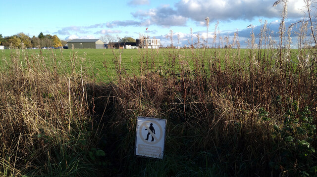


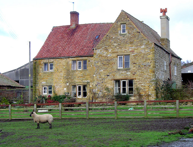
![Dialstone Farm Situated high on the Hambleton Hills close to the 1000ft contour. This might be high, but it is decent arable land. The farmhouse [hidden here] was once the Dialstone Inn, one of several alongside the old droving road which ran along the hilltop.](https://s3.geograph.org.uk/geophotos/07/10/82/7108283_e792c403.jpg)
Hambleton is located at Grid Ref: SE5283 (Lat: 54.240066, Lng: -1.1984842)
Division: North Riding
Administrative County: North Yorkshire
District: Hambleton
Police Authority: North Yorkshire
What 3 Words
///messy.skillet.cocoons. Near Helmsley, North Yorkshire
Nearby Locations
Related Wikis

Hambleton, Ryedale
Hambleton is a hamlet on the A170 road between Thirsk and Pickering in North Yorkshire, England. It lies on the Hambleton Hills 1 mile east of Sutton Bank...

Hambleton Hills
The Hambleton Hills are a range of hills in North Yorkshire, England. They form the western edge of the North York Moors but are separated from the moors...

Yorkshire Gliding Club
The Yorkshire Gliding Club (YGC) operate from an airfield on Sutton Bank in the North York Moors National Park, England. The airfield site is 7 miles...

Cold Kirby
Cold Kirby is a village and civil parish in the Ryedale district of North Yorkshire, England. The population at the 2011 census (including Angram Grange...
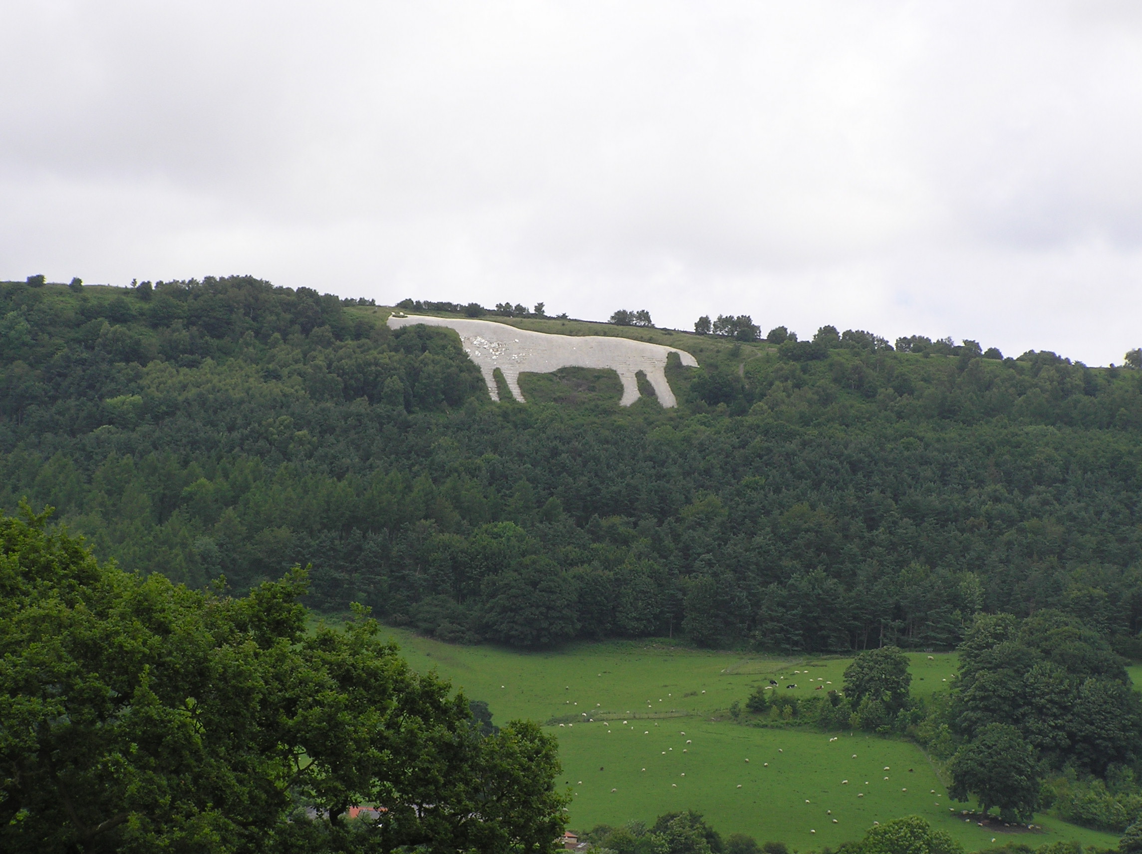
Kilburn White Horse
The Kilburn White Horse, grid reference SE516813, is a hill figure cut into the hillside in the North York Moors National Park near Kilburn in North Yorkshire...
Hood Abbey
Hood Abbey was an abbey on the grounds of today's Hood Grange, North Yorkshire, England. The abbey at Hood was known to be in existence as a hermitage...

Gormire Lake
Gormire Lake is a natural lowland lake that lies at the foot of Whitestone Cliff, a western escarpment of the Hambleton Hills in the North York Moors National...
Hood Grange
Hood Grange is a hamlet and civil parish in the Hambleton district of North Yorkshire, England. The population was less than 100 in the 2011 Census, so...
Nearby Amenities
Located within 500m of 54.240066,-1.1984842Have you been to Hambleton?
Leave your review of Hambleton below (or comments, questions and feedback).