Ham Marsh

Settlement in Berkshire

England

Ham Marsh

Newbury Newbury Railway Station, looking east
Newbury Credit: Brendan and Ruth McCartney

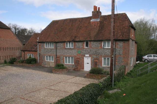
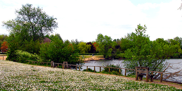
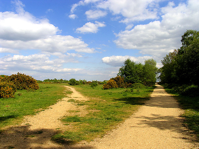
Ham Marsh is a picturesque rural area located in the county of Berkshire, England. Situated within the civil parish of Waltham St. Lawrence, it is nestled between the towns of Reading and Maidenhead. This idyllic countryside setting is characterized by its rolling hills, lush green fields, and charming traditional cottages.

The area is known for its tranquil atmosphere, making it an ideal retreat for those seeking a peaceful escape from the hustle and bustle of city life. Ham Marsh is surrounded by beautiful natural landscapes, including the nearby River Thames, which adds to its scenic charm.

Despite its rural setting, Ham Marsh benefits from excellent transport links. The nearby M4 motorway provides easy access to London and other major cities, while the railway stations in Reading and Maidenhead offer convenient connections to the national rail network.

In terms of amenities, Ham Marsh boasts several local businesses serving the community, including a village hall and a small convenience store. The area is also home to numerous walking and cycling routes, enabling residents and visitors to explore the stunning countryside at their leisure.

Ham Marsh is well-regarded for its sense of community spirit, with regular events and activities organized by local groups. The community often comes together for festive celebrations and fundraisers, fostering a strong bond among its residents.

Overall, Ham Marsh offers a charming rural retreat with its picturesque landscapes, peaceful ambiance, and strong community spirit, making it a highly desirable place to live or visit in Berkshire.

If you have any feedback on the listing, please let us know in the comments section below.
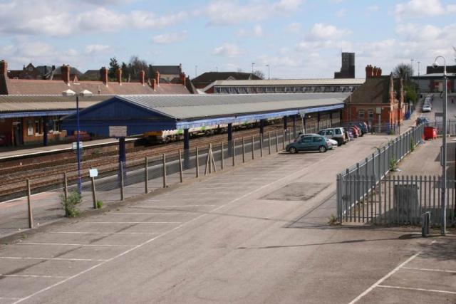
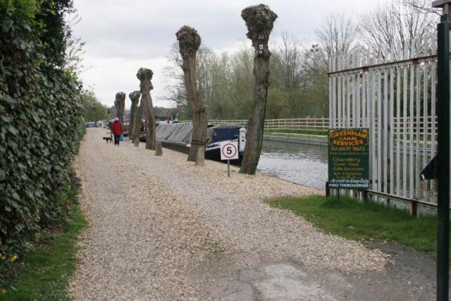
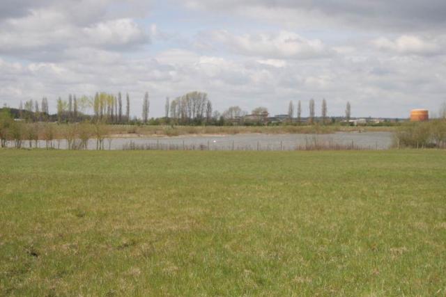
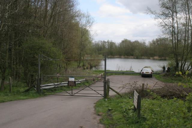
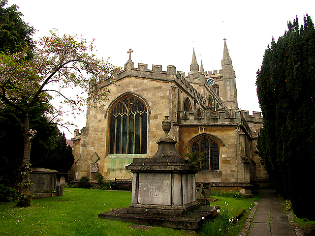
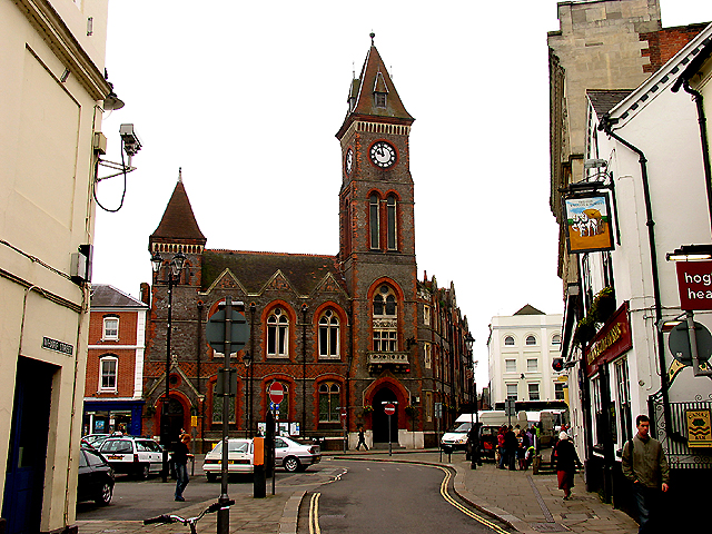
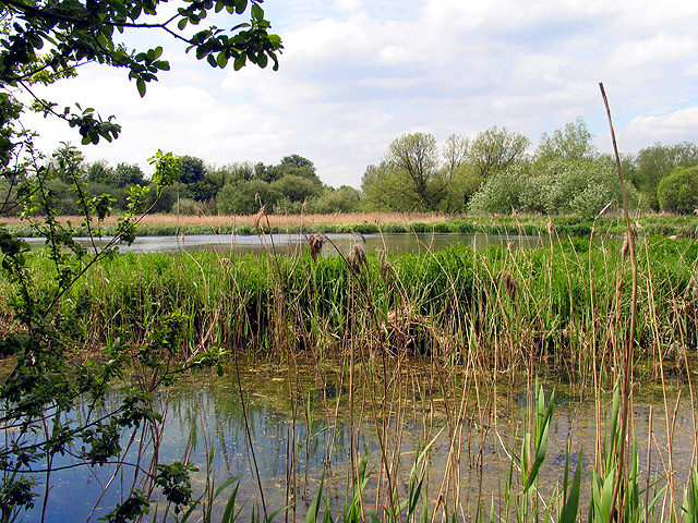
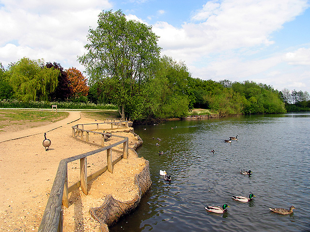
Ham Marsh Images

Images are sourced within 2km of 51.399696/-1.2996586 or Grid Reference SU4866. Thanks to Geograph Open Source API. All images are credited.

Newbury Newbury Railway Station, looking east
Newbury
Newbury Railway Station, looking east
Newbury A view looking west along the Kennet and Avon Canal.
Newbury
A view looking west along the Kennet and Avon Canal.
Newbury Looking west across Lower Farm, a local birdwatching haunt, towards Newbury Racecourse.
Newbury
Looking west across Lower Farm, a local birdwatching haunt, towards Newbury Racecourse.
Newbury One of the many reclaimed gravel pits in this square. This one is used by the Newbury Angling Club.
Newbury
One of the many reclaimed gravel pits in this square. This one is used by the Newbury Angling Club.
Newbury A listed building of special historic and architectural importance - now offices!
Newbury
A listed building of special historic and architectural importance - now offices!
Thatcham Henwick Field sports ground beside the A4. A favourite spot for local kite flyers.
Thatcham
Henwick Field sports ground beside the A4. A favourite spot for local kite flyers.
Newbury Racecourse The Berkshire Stand on a racing Saturday
Newbury Racecourse
The Berkshire Stand on a racing Saturday
Corner of Pound Street and Argyle Road: Newbury This old building is typical of the old buildings in Newbury, an old market town.
Corner of Pound Street and Argyle Road: Newbury
This old building is typical of the old buildings in Newbury, an old market town.
St Nicholas: Church in Newbury Town Centre This church is to be seen in the extreme south west corner of the grid square. The picture was taken from the east side of the building, looking west.
St Nicholas: Church in Newbury Town Centre
This church is to be seen in the extreme south west corner of the grid square. The picture was taken from the east side of the building, looking west.
Newbury Town Hall The town council building is situated east of the church in the south west corner of the grid square. The open space in front of it holds the market which occurs during the week and on Saturdays.
Newbury Town Hall
The town council building is situated east of the church in the south west corner of the grid square. The open space in front of it holds the market which occurs during the week and on Saturdays.
HSBC Bank Building: Newbury This building situated north east of the church and north west from the Town Council Building is situated in the south western section of the grid square.
HSBC Bank Building: Newbury
This building situated north east of the church and north west from the Town Council Building is situated in the south western section of the grid square.
Thatcham Reedbeds Nature Reserve This picture was taken from next to the bird hide in the nature reserve, looking more or less west across the very small pond which is not marked on the OS Map, but is marked on the Reserve's Map. The pond lies between the stream and the path, in the north eastern section of the grid square.
Thatcham Reedbeds Nature Reserve
This picture was taken from next to the bird hide in the nature reserve, looking more or less west across the very small pond which is not marked on the OS Map, but is marked on the Reserve's Map. The pond lies between the stream and the path, in the north eastern section of the grid square.
Thatcham Nature Discovery Centre This grid square consists entirely of lakes and largely undeveloped land that has been turned into a nature discovery centre with a variety of water birds and visited by many schools. It is a good place for walking dogs and it also has a playground for children. This view is of "Thatcham Lake" taken from the west side of the lake at the discovery centre building situated in the north eastern section of the grid square.
Thatcham Nature Discovery Centre
This grid square consists entirely of lakes and largely undeveloped land that has been turned into a nature discovery centre with a variety of water birds and visited by many schools. It is a good place for walking dogs and it also has a playground for children. This view is of "Thatcham Lake" taken from the west side of the lake at the discovery centre building situated in the north eastern section of the grid square.
Thatcham Lake This is a view of the east side of the lake looking across towards the discovery centre. There are benches all around the lake and areas where children can play. This section is situated on the east side of Jubilee Lake.
Thatcham Lake
This is a view of the east side of the lake looking across towards the discovery centre. There are benches all around the lake and areas where children can play. This section is situated on the east side of Jubilee Lake.
Discovery Centre and Thatcham Lake This section of the reedbed reserve has been developed into an educational centre and is visited by schools. This is a view from the west side of the lake, situated in the north eastern quadrant of the square.
Discovery Centre and Thatcham Lake
This section of the reedbed reserve has been developed into an educational centre and is visited by schools. This is a view from the west side of the lake, situated in the north eastern quadrant of the square.
Greenham and Crookham Common Nature Reserve This area of the common is a nature reserve. This was taken from one of the reserves parking places in the lower half of the grid square west of the centre, looking south east along the edge of the copse.
Greenham and Crookham Common Nature Reserve
This area of the common is a nature reserve. This was taken from one of the reserves parking places in the lower half of the grid square west of the centre, looking south east along the edge of the copse.
Tescos Newbury The Supermarket is situated in a retail park along with motor dealers etc in the southern section of the grid square.
Tescos Newbury
The Supermarket is situated in a retail park along with motor dealers etc in the southern section of the grid square.
Tower at Edge Copse This tower appears to be a new construction as I can't find it on the OS Map. There is another station of some sort, which is marked on the map. This tower is further south along Edge Copse, at the point where the byway branches off to Henwick Manor.
Tower at Edge Copse
This tower appears to be a new construction as I can't find it on the OS Map. There is another station of some sort, which is marked on the map. This tower is further south along Edge Copse, at the point where the byway branches off to Henwick Manor.
Show me another place!

Ham Marsh is located at Grid Ref: SU4866 (Lat: 51.399696, Lng: -1.2996586)

Unitary Authority: West Berkshire

Police Authority: Thames Valley

What 3 Words

///likely.deputy.quench. Near Greenham, Berkshire

Nearby Locations

Ham Marsh Young Copse

Related Wikis

Ham Lock

Ham Lock is a lock on the Kennet and Avon Canal, at Newbury, Berkshire, England. Ham Lock was built between 1718 and 1723 under the supervision of the...

River Lambourn

The River Lambourn is a chalk stream in the English county of Berkshire. It rises in the Berkshire Downs near its namesake village of Lambourn and is a...
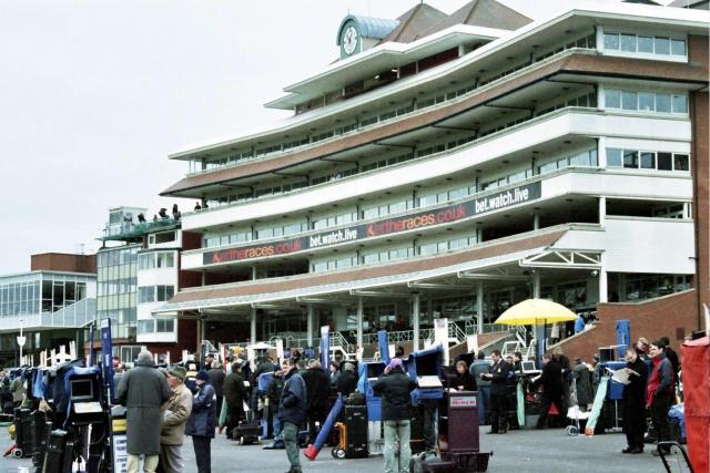
Newbury Racecourse

Newbury Racecourse is a racecourse and events venue in the civil parish of Greenham, adjoining the town of Newbury in Berkshire, England. It has courses...

Newbury Racecourse railway station

Newbury Racecourse railway station serves the East Fields area of the town of Newbury, Berkshire, England, and the adjacent Newbury Racecourse. It is 52...

Benham Hill

Benham Hill is a hill and small settlement in the Shaw portion of the civil parish of Shaw-cum-Donnington in the English county of Berkshire, between...

Greenham Lock

Greenham Lock is a lock on the Kennet and Avon Canal, at Newbury, Berkshire, England. Greenham Lock was built between 1718 and 1723 under the supervision...

West Berkshire Community Hospital

West Berkshire Community Hospital is a small hospital located in the Benham Hill area of Newbury, in West Berkshire, England. It is managed by Berkshire...

Newbury power station

Newbury power station supplied electricity to the town of Newbury, Berkshire and the surrounding area from 1905 to 1970. It was owned and operated by a...

Nearby Amenities

Located within 500m of 51.399696,-1.2996586
Crossing
Crossing: unmarked
Kerb: lowered
Lat/Long: 51.4010058/-1.2963509
Waterway: turning_point
Lat/Long: 51.4021535/-1.3029969
Seamark Type: gate
Waterway: lock_gate
Lat/Long: 51.4022381/-1.3012953
Seamark Type: gate
Waterway: lock_gate
Lat/Long: 51.4021576/-1.3009134
Bus Stop
Bus: yes
Public Transport: platform
Shelter: yes
Tactile Paving: no
Lat/Long: 51.3996548/-1.2980665
Bus Stop
Bus: yes
Public Transport: platform
Tactile Paving: no
Lat/Long: 51.3997994/-1.2991284
FIXME: approximate
Man Made: mast
Note: phone_mast
Lat/Long: 51.3994915/-1.2991516
FIXME: approximate
Man Made: mast
Note: phone_mast
Lat/Long: 51.4000196/-1.2987765
Bus Stop
Lat/Long: 51.3995425/-1.3013179
Bus Stop
Bus: yes
Public Transport: platform
Shelter: no
Tactile Paving: no
Lat/Long: 51.3994163/-1.3035143
Bus Stop
Bus: yes
Public Transport: platform
Shelter: no
Tactile Paving: no
Lat/Long: 51.3997704/-1.3035323
Post Box
Lat/Long: 51.3997994/-1.3021435
Post Box
Lat/Long: 51.3997987/-1.3021007
Barrier: bollard
Lat/Long: 51.4034651/-1.3030417
Post Box
Note: this post box has no visible ref
Lat/Long: 51.3990338/-1.2946618
Bench
Lat/Long: 51.4021724/-1.3011096
Railway: switch
Lat/Long: 51.3987317/-1.3016368
Mini Roundabout
Direction: clockwise
Lat/Long: 51.399511/-1.3059229
Defibrillator
Emergency: defibrillator
Indoor: no
Lat/Long: 51.3991932/-1.2941312
Crossing
Crossing: unmarked
Crossing Island: no
Tactile Paving: yes
Lat/Long: 51.3994549/-1.2976279
Entrance: yes
Lat/Long: 51.4030692/-1.3037728
Fast Food
Lat/Long: 51.4028184/-1.3042371
Source: local knowledge
Lat/Long: 51.397274/-1.2940459
Crossing
Crossing: marked
Lat/Long: 51.3978816/-1.3036746
Crossing
Crossing: unmarked
Crossing Island: no
Tactile Paving: yes
Lat/Long: 51.3996621/-1.2971693
Maxspeed: 40
Lat/Long: 51.3995287/-1.3047328
Shop: car_repair
Lat/Long: 51.3994159/-1.30529
Toolstation
Brand: Toolstation
Brand Wikidata: Q7824103
Contact Website: https://www.toolstation.com/branches/newbury
Shop: doityourself
Lat/Long: 51.3994042/-1.3057464
Entrance: yes
Lat/Long: 51.3972034/-1.2991977
Barrier: bollard
Lat/Long: 51.3975978/-1.2999526
Bicycle Parking
Bicycle Parking: stands
Lat/Long: 51.3973109/-1.3000362
Barrier: bollard
Lat/Long: 51.3983221/-1.3004367
Barrier: bollard
Lat/Long: 51.398335/-1.3006612
Barrier: bollard
Lat/Long: 51.3983341/-1.3008691
Barrier: bollard
Lat/Long: 51.3983378/-1.3010865
Barrier: bollard
Lat/Long: 51.3983364/-1.3015588
Bus Stop
Bus: yes
Public Transport: platform
Lat/Long: 51.3984014/-1.3043372
Crossing
Bicycle: yes
Crossing: unmarked
Crossing Markings: no
Kerb: lowered
Lat/Long: 51.4040352/-1.3011573
Defibrillator
Emergency: defibrillator
Indoor: yes
Operator: B&Q
Lat/Long: 51.4030982/-1.3036848
Crossing
Lat/Long: 51.401914/-1.295823
Crossing
Bicycle: dismount
Crossing: unmarked
Kerb: lowered
Lat/Long: 51.4030851/-1.2958924
Give Way
Direction: backward
Source: Bing
Lat/Long: 51.4040773/-1.3011968
Railway: switch
Lat/Long: 51.3987077/-1.3024158
Railway: switch
Lat/Long: 51.3986792/-1.3014705
Railway: buffer_stop
Lat/Long: 51.3981456/-1.2943585
Railway: switch
Lat/Long: 51.3987139/-1.3001891
Railway: switch
Lat/Long: 51.3987046/-1.300825
CTD Tiles
Addr City: Newbury
Addr Housename: CTD Tiles
Addr Housenumber: Units 5-6 The Paddock
Addr Postcode: RG14 5TQ
Addr Street: Hambridge Road
Brand: CTD Tiles
Brand Wikidata: Q100295826
Operator: CTD Tiles
Phone: +44 1635 521 197
Shop: tiles
Website: https://www.ctdtiles.co.uk/t-tile-showroom-newbury.aspx
Lat/Long: 51.3990379/-1.3039809
Philip Wadge Associates Ltd
Office: architect
Lat/Long: 51.4000223/-1.3025183
Bicycle Parking
Bicycle Parking: stands
Capacity: 18
Covered: yes
Lat/Long: 51.4001023/-1.2998509
Crossing
Crossing: marked
Crossing Island: no
Tactile Paving: yes
Lat/Long: 51.398411/-1.3060479
Give Way
Lat/Long: 51.3984028/-1.3041927
Traffic Calming: bump
Lat/Long: 51.398372/-1.3011738
Crossing
Crossing: unmarked
Crossing Island: no
Tactile Paving: yes
Lat/Long: 51.3982753/-1.2997834
Crossing
Crossing: unmarked
Tactile Paving: yes
Lat/Long: 51.3997257/-1.2978546
Crossing
Crossing: unmarked
Tactile Paving: yes
Lat/Long: 51.3998001/-1.2978458
Crossing
Crossing: unmarked
Tactile Paving: yes
Lat/Long: 51.3998461/-1.2974053
Crossing
Crossing: unmarked
Tactile Paving: yes
Lat/Long: 51.3998951/-1.2975119
Crossing
Crossing: unmarked
Crossing Island: no
Tactile Paving: yes
Lat/Long: 51.39709/-1.2978773
Crossing
Crossing: unmarked
Crossing Island: no
Tactile Paving: yes
Lat/Long: 51.3968044/-1.297564
Crossing
Crossing: unmarked
Crossing Island: no
Tactile Paving: yes
Lat/Long: 51.3968171/-1.2982555
Barrier: bollard
Lat/Long: 51.3967587/-1.2965146
Crossing
Crossing: unmarked
Tactile Paving: yes
Lat/Long: 51.3972262/-1.2940197
Give Way
Direction: forward
Lat/Long: 51.4031535/-1.3038167
Crossing
Lat/Long: 51.4029949/-1.304409
Crossing
Lat/Long: 51.4031367/-1.3040236
The data included in this document is from www.openstreetmap.org. The data is made available under ODbL.

Have you been to Ham Marsh?

Leave your review of Ham Marsh below (or comments, questions and feedback).