Cote Moor
Wood, Forest in Yorkshire Ryedale
England
Cote Moor
Cote Moor, located in Yorkshire, England, is a picturesque woodland area known for its serene and natural beauty. Stretching over an expansive area, this forest is a haven for nature enthusiasts and outdoor adventurers. The lush greenery and diverse flora and fauna make it an ideal destination for hikers, bird watchers, and nature photographers.
Cote Moor is characterized by its dense canopy of trees, predominantly oak and beech, which provide ample shade and create a tranquil atmosphere. The forest floor is covered in a rich carpet of moss, ferns, and wildflowers, adding to its ethereal charm. The interwoven network of walking trails and footpaths allows visitors to explore the forest at their own pace, immersing themselves in its enchanting surroundings.
The woodland is home to a wide range of wildlife, offering opportunities for wildlife spotting. Bird species such as woodpeckers, owls, and songbirds can be heard chirping amidst the trees, while mammals like badgers, foxes, and deer can occasionally be spotted. The forest also supports a diverse insect population, including butterflies and beetles.
In addition to its natural splendor, Cote Moor boasts a rich history. Ancient ruins and archaeological sites are scattered throughout the forest, giving visitors a glimpse into the area's past. These remnants serve as a reminder of the human presence that once thrived in this woodland.
Overall, Cote Moor in Yorkshire is a captivating destination that combines natural beauty with historical significance. Its tranquil ambiance, diverse wildlife, and scenic trails make it an idyllic retreat for those seeking solace in nature.
If you have any feedback on the listing, please let us know in the comments section below.
Cote Moor Images
Images are sourced within 2km of 54.243207/-1.192408 or Grid Reference SE5283. Thanks to Geograph Open Source API. All images are credited.

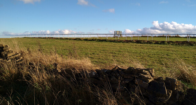
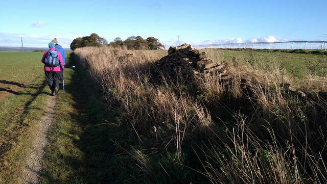


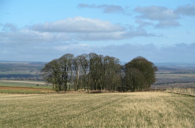
![Dialstone Farm Situated high on the Hambleton Hills close to the 1000ft contour. This might be high, but it is decent arable land. The farmhouse [hidden here] was once the Dialstone Inn, one of several alongside the old droving road which ran along the hilltop.](https://s3.geograph.org.uk/geophotos/07/10/82/7108283_e792c403.jpg)
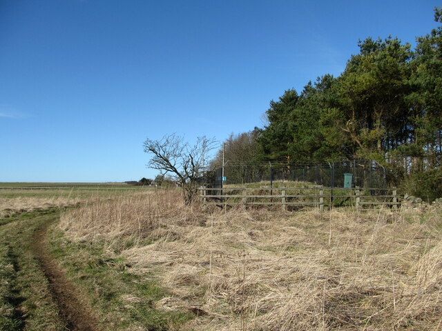
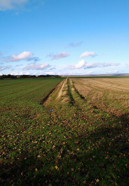
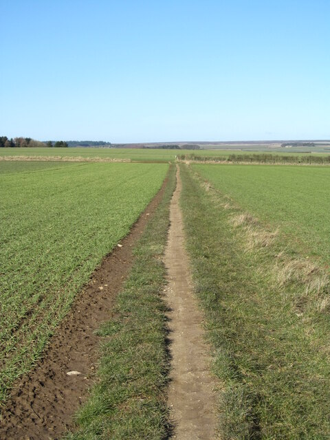
![Bridleway towards Hambleton House I would be tempted to call this the Hambleton drove road, but the line of the ancient routeway becomes unclear between Dialstone Farm [once an inn] and the top of the bank that heads downhill past Scotch Corner to Oldstead. By the time of first edition OS maps [1853] a straight line heading past the Hambleton Inn and onwards to a bend in the track at Shaws Gate has been lost, probably due to enclosures, but this does look like the logical line rather than along what is now a tarmacked road further west.](https://s0.geograph.org.uk/geophotos/07/10/88/7108888_f266efca.jpg)
Cote Moor is located at Grid Ref: SE5283 (Lat: 54.243207, Lng: -1.192408)
Division: North Riding
Administrative County: North Yorkshire
District: Ryedale
Police Authority: North Yorkshire
What 3 Words
///enchanted.coconut.gazed. Near Helmsley, North Yorkshire
Nearby Locations
Related Wikis

Hambleton, Ryedale
Hambleton is a hamlet on the A170 road between Thirsk and Pickering in North Yorkshire, England. It lies on the Hambleton Hills 1 mile east of Sutton Bank...

Cold Kirby
Cold Kirby is a village and civil parish in the Ryedale district of North Yorkshire, England. The population at the 2011 census (including Angram Grange...

Hambleton Hills
The Hambleton Hills are a range of hills in North Yorkshire, England. They form the western edge of the North York Moors but are separated from the moors...

Yorkshire Gliding Club
The Yorkshire Gliding Club (YGC) operate from an airfield on Sutton Bank in the North York Moors National Park, England. The airfield site is 7 miles...

Scawton
Scawton is a village and former civil parish in North Yorkshire, England. The hamlet lies just east of Sutton Bank, north of the A170 road, and 5 miles...

Gormire Lake
Gormire Lake is a natural lowland lake that lies at the foot of Whitestone Cliff, a western escarpment of the Hambleton Hills in the North York Moors National...
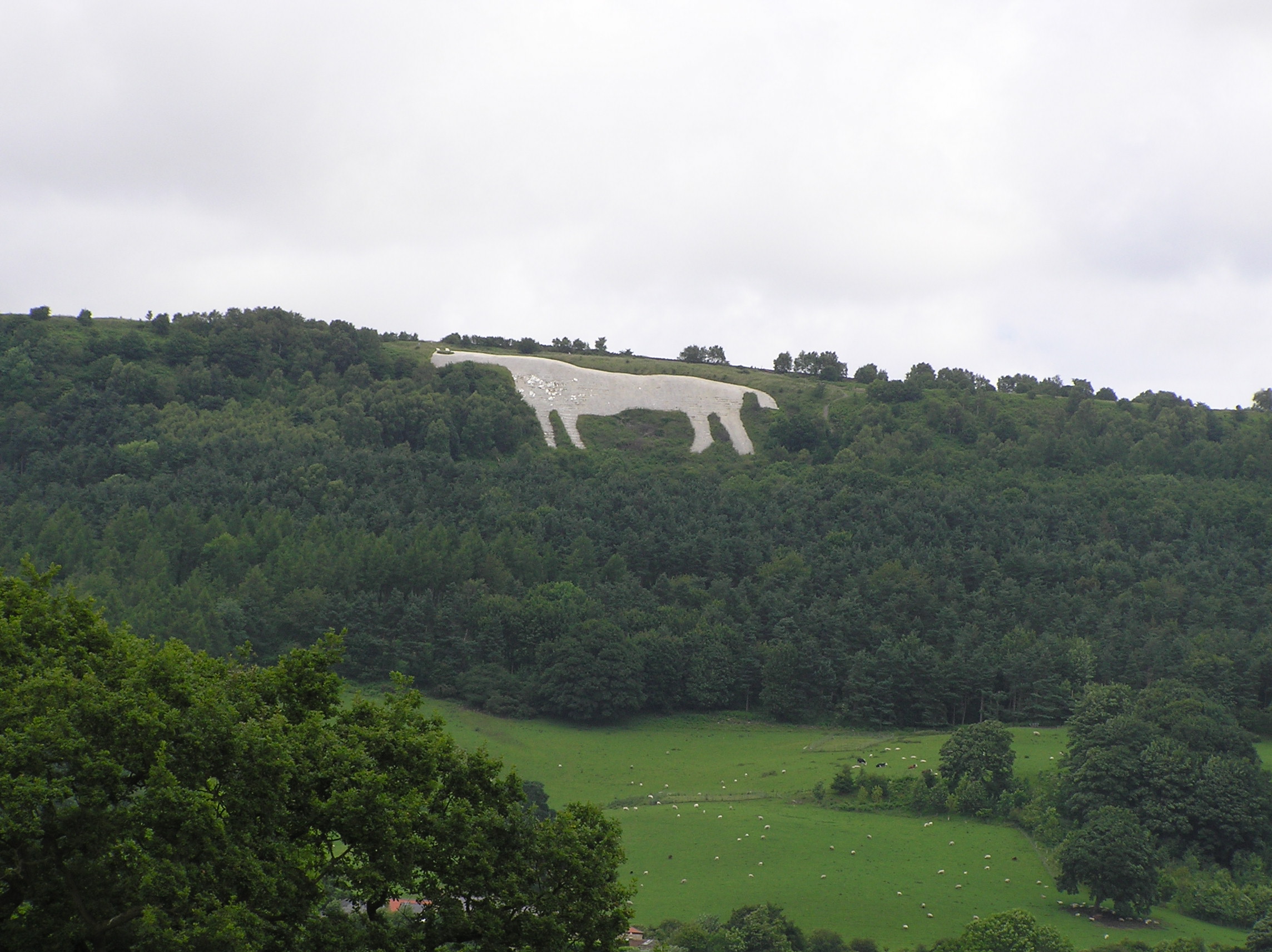
Kilburn White Horse
The Kilburn White Horse, grid reference SE516813, is a hill figure cut into the hillside in the North York Moors National Park near Kilburn in North Yorkshire...
Hood Abbey
Hood Abbey was an abbey on the grounds of today's Hood Grange, North Yorkshire, England. The abbey at Hood was known to be in existence as a hermitage...
Nearby Amenities
Located within 500m of 54.243207,-1.192408Have you been to Cote Moor?
Leave your review of Cote Moor below (or comments, questions and feedback).