Highland Wood
Wood, Forest in Cornwall
England
Highland Wood
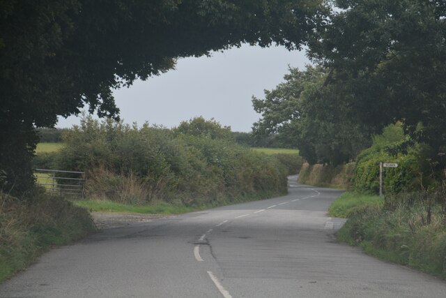
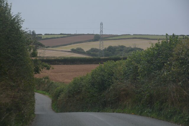
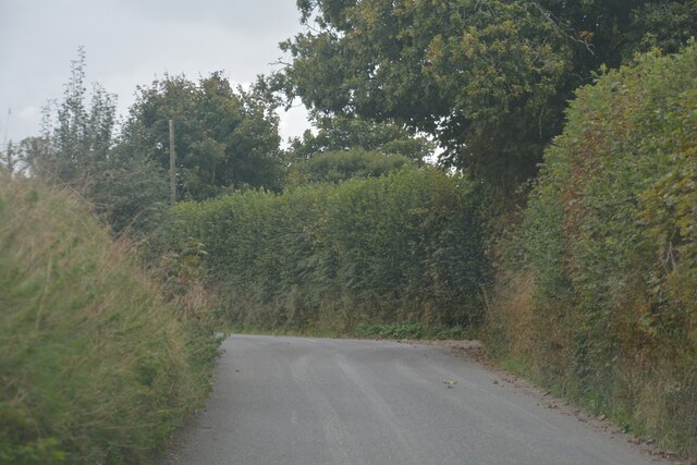
Highland Wood, located in Cornwall, is a picturesque forest that spans across a vast area of natural beauty. This woodland is known for its stunning landscape and rich biodiversity, making it a popular destination for nature enthusiasts and hikers alike.
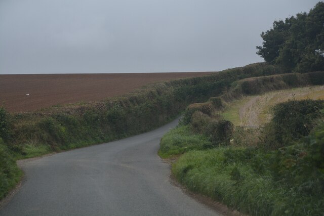
The wood is characterized by its dense canopy of towering trees, predominantly composed of native species such as oak, beech, and pine. The lush undergrowth is home to a diverse range of flora, including bluebells, ferns, and mosses, further enhancing the area's natural charm.
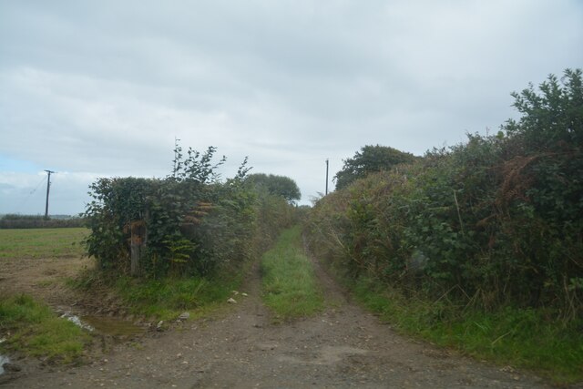
The wood is crisscrossed by a network of well-maintained walking trails, allowing visitors to explore its tranquil surroundings at their own pace. The paths wind through the forest, offering glimpses of babbling brooks, small ponds, and secluded clearings along the way. These natural features provide habitats for various wildlife species, including birds, butterflies, and small mammals.
Highland Wood is not only a haven for nature lovers but also a place of historical significance. Remnants of ancient settlements, including stone circles and burial mounds, can be found within the wood, providing a glimpse into the area's past.
The forest is easily accessible, with designated parking areas and signposted entrances. It is open to the public year-round, although autumn, with its vibrant foliage, and spring, when the wood is carpeted with wildflowers, are particularly popular seasons to visit.
Highland Wood in Cornwall is a true gem, offering a peaceful and immersive experience in the heart of nature. Whether you are seeking serenity, adventure, or a deeper connection with the natural world, this wood has something to offer for everyone.
If you have any feedback on the listing, please let us know in the comments section below.
Highland Wood Images
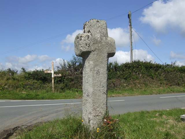
Images are sourced within 2km of 50.435491/-4.4895301 or Grid Reference SX2362. Thanks to Geograph Open Source API. All images are credited.
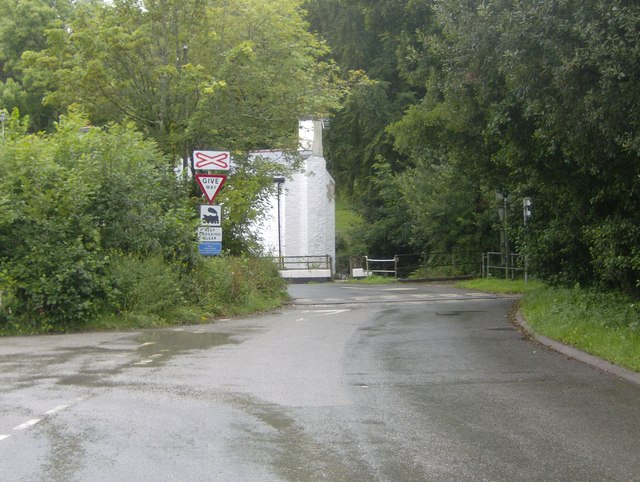
Highland Wood is located at Grid Ref: SX2362 (Lat: 50.435491, Lng: -4.4895301)
Unitary Authority: Cornwall
Police Authority: Devon and Cornwall
What 3 Words
///survivor.etchings.arriving. Near Liskeard, Cornwall
Nearby Locations
Related Wikis

Coombe, Liskeard
Coombe (Cornish: Komm) is a settlement in Cornwall, England, United Kingdom. It is situated one mile (1.6 km) southwest of Liskeard.Coombe Junction Halt...

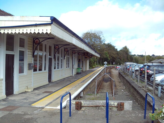
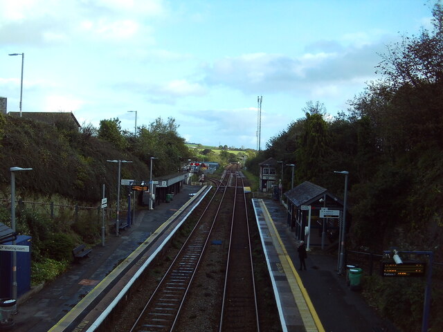
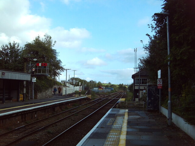
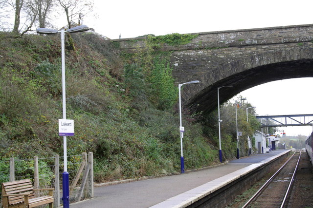
Coombe Junction Halt railway station
Coombe Junction Halt railway station (Cornish: Gorta Kemper Komm) serves the villages of Coombe and Lamellion near Liskeard, Cornwall, England, UK. It...
Boduel
Boduel is a hamlet in east Cornwall, England, United Kingdom. It is situated west of Moorswater, one mile (1.6 km) west of Liskeard in the civil parish...

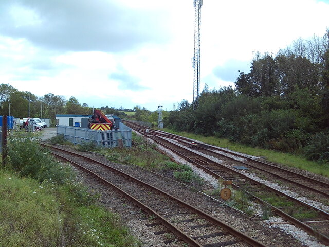
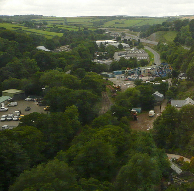
Moorswater railway station
Moorswater railway station (Cornish: Dowr an Hal) was the centre of operations for the Liskeard and Caradon Railway and the Liskeard and Looe Railway....

Lamellion
Lamellion is a hamlet in Cornwall, England. It is half a mile southwest of Liskeard (where the population for the 2011 census was included.) and nearer...
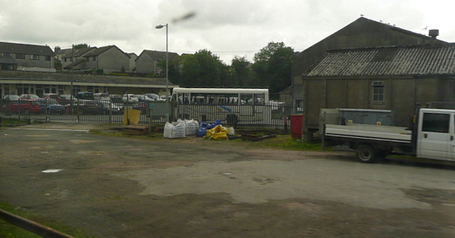
Moorswater
Moorswater is an industrial suburb of Liskeard in Cornwall, England, United Kingdom. It is situated approximately half-a-mile (0.8 km) west of Liskeard...
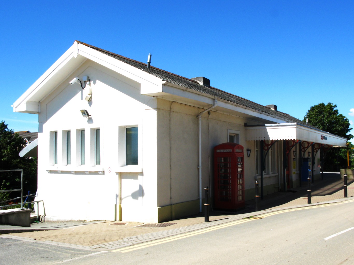
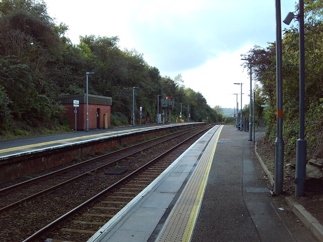
Liskeard railway station
Liskeard railway station (Cornish: Lyskerrys) serves the town of Liskeard in Cornwall, England. The station is approximately 18 miles (29 km) west of Plymouth...
Looe Mills
Looe Mills or Looemills is a hamlet in Cornwall, England. It is on the A38 road between Liskeard and Dobwalls. According to the Post Office the population...
Nearby Amenities
Located within 500m of 50.435491,-4.4895301Have you been to Highland Wood?
Leave your review of Highland Wood below (or comments, questions and feedback).