Jasper's Wood

Wood, Forest in Cornwall

England

Jasper's Wood

Bat bridge over A38 east of Dobwalls An attempt to provide bats with a means for navigating across the road
Bat bridge over A38 east of Dobwalls Credit: David Smith

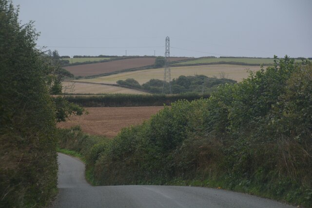
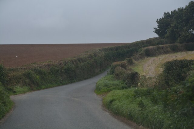
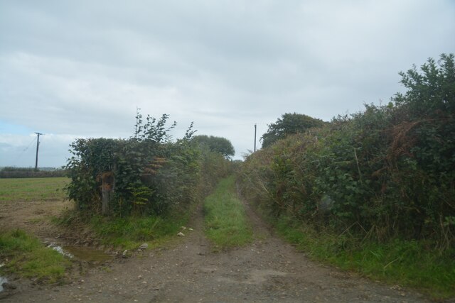
Jasper's Wood is a picturesque forest located in Cornwall, England. Stretching across an area of approximately 100 acres, this woodland is renowned for its natural beauty and diverse ecosystem. The wood is named after Jasper, a local conservationist who dedicated his life to preserving this natural gem.

Upon entering Jasper's Wood, visitors are immediately greeted with a sense of tranquility. The forest is predominantly composed of towering oak and beech trees, their branches interweaving to create a dense canopy that filters sunlight onto the forest floor. This creates the perfect environment for a variety of plants and wildlife to thrive.

Wandering along the well-maintained trails, one can encounter a rich diversity of flora and fauna. Wildflowers such as bluebells, primroses, and foxgloves add vibrant splashes of color, while ferns and mosses carpet the forest floor. Birdsong fills the air, with species like the great spotted woodpecker, tawny owl, and various warblers making their presence known.

Jasper's Wood is not only a haven for nature enthusiasts but also a valuable educational resource. The wood is home to numerous rare and protected species, including the hazel dormouse and the silver-washed fritillary butterfly. Conservation groups often organize guided tours and workshops, allowing visitors to learn about the importance of preserving these delicate ecosystems.

In conclusion, Jasper's Wood is a captivating forest in Cornwall, offering visitors a chance to immerse themselves in nature's beauty. With its enchanting trails, diverse wildlife, and educational opportunities, this woodland truly deserves its reputation as a treasured natural wonder.

If you have any feedback on the listing, please let us know in the comments section below.

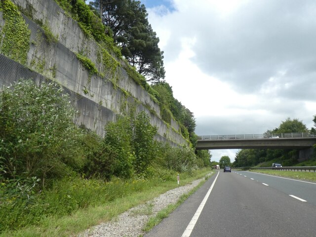
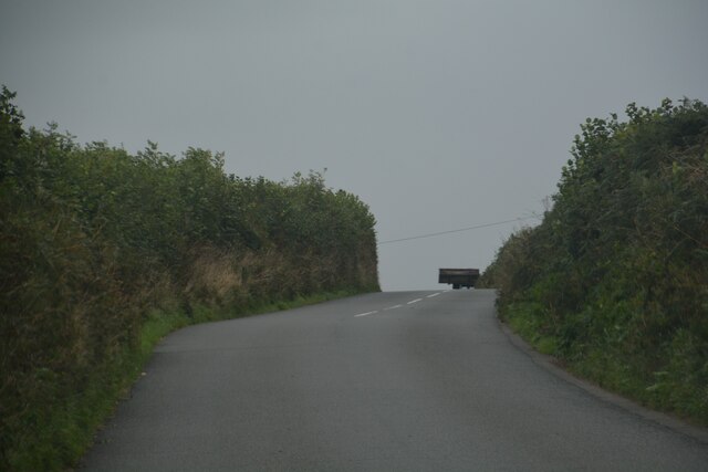
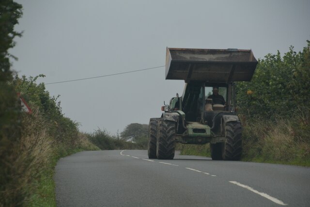
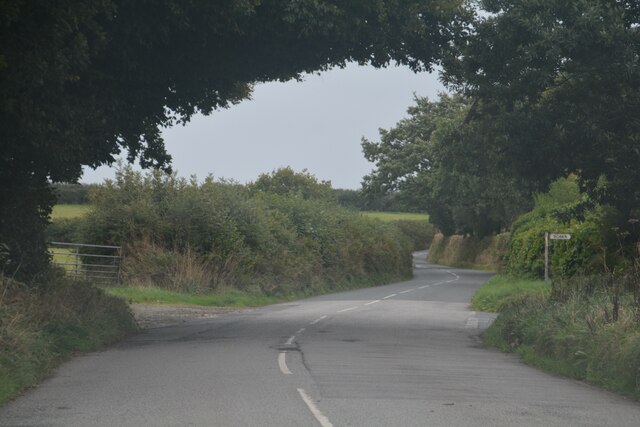
Jasper's Wood Images

Images are sourced within 2km of 50.443628/-4.4896896 or Grid Reference SX2363. Thanks to Geograph Open Source API. All images are credited.

Bat bridge over A38 east of Dobwalls An attempt to provide bats with a means for navigating across the road
Bat bridge over A38 east of Dobwalls
An attempt to provide bats with a means for navigating across the road
Bridge over A38 east of Dobwalls This bridge carries traffic to/from the eastbound carriageway of the A38
Bridge over A38 east of Dobwalls
This bridge carries traffic to/from the eastbound carriageway of the A38
North side of A38 cutting east of Dobwalls
Dobwalls : Gate A gate provides entrance into the field.
Dobwalls : Gate
A gate provides entrance into the field.
Dobwalls : Country Lane A small lane heads through the countryside.
Dobwalls : Country Lane
A small lane heads through the countryside.
Dobwalls : Country Lane Looking along a country lane.
Dobwalls : Country Lane
Looking along a country lane.
Dobwalls : Country Lane Looking along a road.
Dobwalls : Country Lane
Looking along a road.
Dobwalls : Country Road Looking along the road.
Dobwalls : Country Road
Looking along the road.
Dobwalls : Country Road A road heads through the Cornish countryside.
Dobwalls : Country Road
A road heads through the Cornish countryside.
Dobwalls : Country Lane A lane heads through the Cornish countryside.
Dobwalls : Country Lane
A lane heads through the Cornish countryside.
Duloe : Country Lane A lane heads through the Cornish countryside.
Duloe : Country Lane
A lane heads through the Cornish countryside.
Duloe : Track A track heads off from the road.
Duloe : Track
A track heads off from the road.
Platform 3, Liskeard railway station The terminal platform for trains to and from Looe, situated at right angles to the main part of the station.
Platform 3, Liskeard railway station
The terminal platform for trains to and from Looe, situated at right angles to the main part of the station.
Railway east of Liskeard station The main line towards Plymouth is on the right, while in the foreground is the sharply curved (note 5mph speed limit) link between it and the branch line to Looe and Moorswater.
Railway east of Liskeard station
The main line towards Plymouth is on the right, while in the foreground is the sharply curved (note 5mph speed limit) link between it and the branch line to Looe and Moorswater.
End of platform 3, Liskeard railway station Looking towards Looe in the railway sense, although Looe is actually behind the photographer; trains traverse a horseshoe curve about half a mile further on.
End of platform 3, Liskeard railway station
Looking towards Looe in the railway sense, although Looe is actually behind the photographer; trains traverse a horseshoe curve about half a mile further on.
West end of Liskeard railway station Looking towards Taunton from near the west end of platform 2.
West end of Liskeard railway station
Looking towards Taunton from near the west end of platform 2.
East end of Liskeard railway station (1) Looking towards Plymouth from the station footbridge, with the link to the Looe and Moorswater branches visible on the left just beyond the end of platform 2.
East end of Liskeard railway station (1)
Looking towards Plymouth from the station footbridge, with the link to the Looe and Moorswater branches visible on the left just beyond the end of platform 2.
East end of Liskeard railway station (2) Looking towards Plymouth from near the end of platform 1, with the link to the Looe and Moorswater branches visible on the left just beyond the end of platform 2. The short armed semaphore signal on the left controls the main line towards Plymouth, with the shunt signal just to its left on the same gantry controlling access to the branch. The signal box that controls the signals is visible on the right.
East end of Liskeard railway station (2)
Looking towards Plymouth from near the end of platform 1, with the link to the Looe and Moorswater branches visible on the left just beyond the end of platform 2. The short armed semaphore signal on the left controls the main line towards Plymouth, with the shunt signal just to its left on the same gantry controlling access to the branch. The signal box that controls the signals is visible on the right.
Show me another place!

Jasper's Wood is located at Grid Ref: SX2363 (Lat: 50.443628, Lng: -4.4896896)

Unitary Authority: Cornwall

Police Authority: Devon and Cornwall

What 3 Words

///eaten.lightbulb.puns. Near Liskeard, Cornwall

Nearby Locations

Coombe Jasper's Wood

Related Wikis

Boduel

Boduel is a hamlet in east Cornwall, England, United Kingdom. It is situated west of Moorswater, one mile (1.6 km) west of Liskeard in the civil parish...

Coombe, Liskeard

Coombe (Cornish: Komm) is a settlement in Cornwall, England, United Kingdom. It is situated one mile (1.6 km) southwest of Liskeard.Coombe Junction Halt...

Coombe Junction Halt railway station

Coombe Junction Halt railway station (Cornish: Gorta Kemper Komm) serves the villages of Coombe and Lamellion near Liskeard, Cornwall, England, UK. It...

Moorswater railway station

Moorswater railway station (Cornish: Dowr an Hal) was the centre of operations for the Liskeard and Caradon Railway and the Liskeard and Looe Railway....

Have you been to Jasper's Wood?

Leave your review of Jasper's Wood below (or comments, questions and feedback).