Scarletoak Wood

Wood, Forest in Cornwall

England

Scarletoak Wood

North side of A38 cutting east of Dobwalls
North side of A38 cutting east of Dobwalls Credit: David Smith

Scarletoak Wood is a picturesque forest located in Cornwall, England. This enchanting woodland covers a vast area and is known for its stunning beauty and diverse flora and fauna. The wood is named after the Scarlet Oak trees that are abundant in the area, adding a vibrant touch to the landscape.

The forest is characterized by its dense canopy, which allows only dappled sunlight to filter through, creating a serene and peaceful atmosphere. The ground is covered with a thick layer of leaf litter, making it a haven for various woodland creatures like deer, foxes, and rabbits. Bird enthusiasts will be delighted to spot a variety of species, including woodpeckers, owls, and thrushes, nestled amongst the branches.

Scarletoak Wood offers numerous walking trails, allowing visitors to immerse themselves in nature and explore the hidden treasures of the forest. The paths wind through ancient trees, moss-covered rocks, and babbling brooks, providing a truly immersive experience. Adventurous hikers can venture further into the wood, discovering hidden glades and secret clearings, perfect for picnics or quiet contemplation.

The wood is also home to a rich variety of plant life, with carpets of bluebells and wild garlic covering the forest floor in springtime. Towering oak trees dominate the skyline, while beech, hazel, and birch trees add to the diversity. The wood is particularly beautiful during autumn when the foliage turns various shades of red, orange, and gold, creating a breathtaking panorama.

Scarletoak Wood is a cherished natural gem in Cornwall, offering visitors a tranquil escape from the hustle and bustle of modern life. Whether it be for leisurely walks, birdwatching, or simply reconnecting with nature, this forest promises an unforgettable experience for all who venture into its leafy embrace.

If you have any feedback on the listing, please let us know in the comments section below.

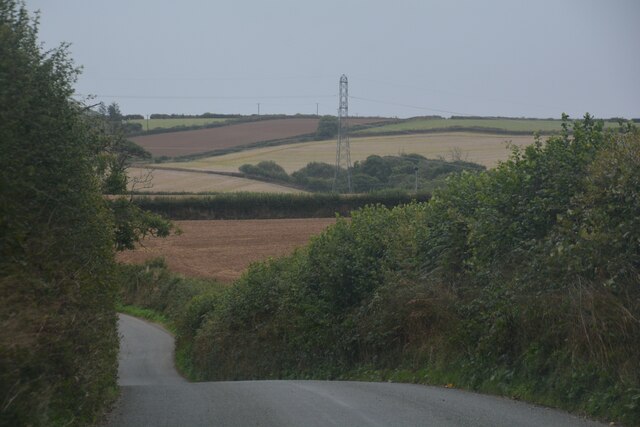
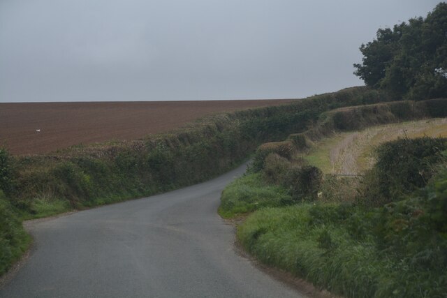
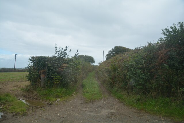
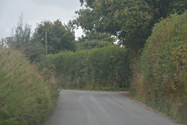
Scarletoak Wood Images

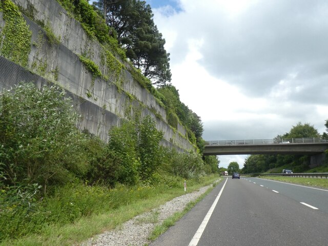
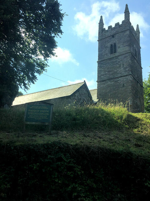
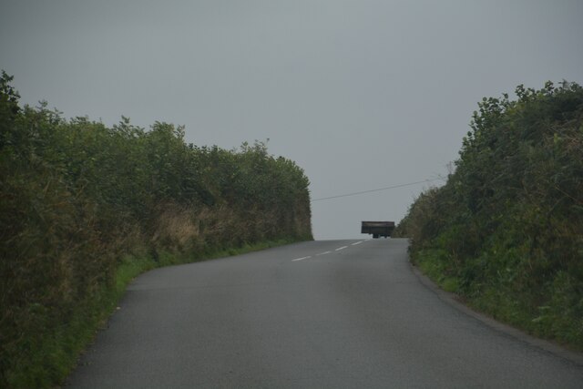
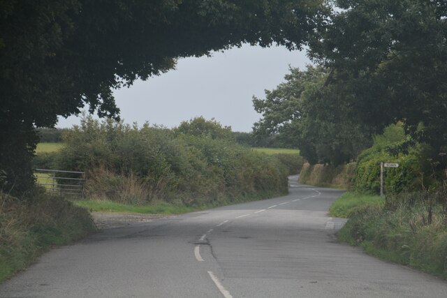
Images are sourced within 2km of 50.43659/-4.4831516 or Grid Reference SX2362. Thanks to Geograph Open Source API. All images are credited.

North side of A38 cutting east of Dobwalls
Former Wesleyan chapel
St Keyne's Church
St Keyne's Church
Dobwalls : Country Lane Looking along a road.
Dobwalls : Country Lane
Looking along a road.
Dobwalls : Country Road Looking along the road.
Dobwalls : Country Road
Looking along the road.
Dobwalls : Country Road A road heads through the Cornish countryside.
Dobwalls : Country Road
A road heads through the Cornish countryside.
Dobwalls : Country Lane A lane heads through the Cornish countryside.
Dobwalls : Country Lane
A lane heads through the Cornish countryside.
Duloe : Country Lane A lane heads through the Cornish countryside.
Duloe : Country Lane
A lane heads through the Cornish countryside.
Duloe : Track A track heads off from the road.
Duloe : Track
A track heads off from the road.
Duloe : Country Lane A lane heads through the Cornish countryside.
Duloe : Country Lane
A lane heads through the Cornish countryside.
Platform 3, Liskeard railway station The terminal platform for trains to and from Looe, situated at right angles to the main part of the station.
Platform 3, Liskeard railway station
The terminal platform for trains to and from Looe, situated at right angles to the main part of the station.
Railway east of Liskeard station The main line towards Plymouth is on the right, while in the foreground is the sharply curved (note 5mph speed limit) link between it and the branch line to Looe and Moorswater.
Railway east of Liskeard station
The main line towards Plymouth is on the right, while in the foreground is the sharply curved (note 5mph speed limit) link between it and the branch line to Looe and Moorswater.
End of platform 3, Liskeard railway station Looking towards Looe in the railway sense, although Looe is actually behind the photographer; trains traverse a horseshoe curve about half a mile further on.
End of platform 3, Liskeard railway station
Looking towards Looe in the railway sense, although Looe is actually behind the photographer; trains traverse a horseshoe curve about half a mile further on.
West end of Liskeard railway station Looking towards Taunton from near the west end of platform 2.
West end of Liskeard railway station
Looking towards Taunton from near the west end of platform 2.
East end of Liskeard railway station (1) Looking towards Plymouth from the station footbridge, with the link to the Looe and Moorswater branches visible on the left just beyond the end of platform 2.
East end of Liskeard railway station (1)
Looking towards Plymouth from the station footbridge, with the link to the Looe and Moorswater branches visible on the left just beyond the end of platform 2.
East end of Liskeard railway station (2) Looking towards Plymouth from near the end of platform 1, with the link to the Looe and Moorswater branches visible on the left just beyond the end of platform 2. The short armed semaphore signal on the left controls the main line towards Plymouth, with the shunt signal just to its left on the same gantry controlling access to the branch. The signal box that controls the signals is visible on the right.
East end of Liskeard railway station (2)
Looking towards Plymouth from near the end of platform 1, with the link to the Looe and Moorswater branches visible on the left just beyond the end of platform 2. The short armed semaphore signal on the left controls the main line towards Plymouth, with the shunt signal just to its left on the same gantry controlling access to the branch. The signal box that controls the signals is visible on the right.
Houses in Liskeard
Houses in Liskeard
Ascending to Liskeard on the way from Looe, 1979 Viewed through the two sheets of glass, one rather dirty, of the rear window of a first generation diesel multiple unit, this is not the best quality view, but nevertheless it is one denied the traveller today. Having reversed at Coombe,  the train has already curved round 90 degrees. It has a further 180 degrees to go to end up at Liskeard at right angles to, and at the same level as, the main line on the viaduct.
Ascending to Liskeard on the way from Looe, 1979
Viewed through the two sheets of glass, one rather dirty, of the rear window of a first generation diesel multiple unit, this is not the best quality view, but nevertheless it is one denied the traveller today. Having reversed at Coombe, the train has already curved round 90 degrees. It has a further 180 degrees to go to end up at Liskeard at right angles to, and at the same level as, the main line on the viaduct.
Show me another place!

Scarletoak Wood is located at Grid Ref: SX2362 (Lat: 50.43659, Lng: -4.4831516)

Unitary Authority: Cornwall

Police Authority: Devon and Cornwall

What 3 Words

///results.tastes.repaid. Near Liskeard, Cornwall

Related Wikis

Coombe, Liskeard

Coombe (Cornish: Komm) is a settlement in Cornwall, England, United Kingdom. It is situated one mile (1.6 km) southwest of Liskeard.Coombe Junction Halt...

Coombe Junction Halt railway station

Coombe Junction Halt railway station (Cornish: Gorta Kemper Komm) serves the villages of Coombe and Lamellion near Liskeard, Cornwall, England, UK. It...

Lamellion

Lamellion is a hamlet in Cornwall, England. It is half a mile southwest of Liskeard (where the population for the 2011 census was included.) and nearer...

Moorswater railway station

Moorswater railway station (Cornish: Dowr an Hal) was the centre of operations for the Liskeard and Caradon Railway and the Liskeard and Looe Railway....

Nearby Amenities

Located within 500m of 50.43659,-4.4831516
Design: three-level
Power: tower
Lat/Long: 50.4338567/-4.4815141
Design: three-level
Power: tower
Lat/Long: 50.4331811/-4.4869604
Design: three-level
Power: tower
Lat/Long: 50.4343799/-4.4774398
Barrier: cattle_grid
Lat/Long: 50.435806/-4.4804073
Matthew’s Wood
Lat/Long: 50.4326612/-4.4842656
Scarletoak Wood
Natural: wood
Lat/Long: 50.4360235/-4.4850692
Highland Wood
Lat/Long: 50.4355656/-4.489512
Power: pole
Lat/Long: 50.4341242/-4.4887224
Power: pole
Lat/Long: 50.4345274/-4.4866142
Power: pole
Lat/Long: 50.4348179/-4.4852516
Power: pole
Lat/Long: 50.4349938/-4.4839346
Power: pole
Lat/Long: 50.4351937/-4.4826284
Power: pole
Lat/Long: 50.4353902/-4.4811317
Power: pole
Lat/Long: 50.4355832/-4.4797772
Power: pole
Lat/Long: 50.4359266/-4.4781572
Power: pole
Lat/Long: 50.436147/-4.4770226
The data included in this document is from www.openstreetmap.org. The data is made available under ODbL.

Have you been to Scarletoak Wood?

Leave your review of Scarletoak Wood below (or comments, questions and feedback).