Lower Coryton Wood

Wood, Forest in Cornwall

England

Lower Coryton Wood

Former Wesleyan chapel
Former Wesleyan chapel Credit: Paul Barnett

Lower Coryton Wood is a picturesque woodland located in Cornwall, England. Covering an area of approximately 150 hectares, the wood is nestled in the beautiful countryside, surrounded by rolling hills and meandering streams. This ancient woodland is a haven for wildlife and offers visitors a tranquil escape from the hustle and bustle of everyday life.

Lower Coryton Wood is primarily composed of broadleaf trees, including oak, beech, and ash, creating a rich and diverse ecosystem. The trees provide a dense canopy, allowing only dappled sunlight to filter through, creating an enchanting atmosphere. The forest floor is carpeted with lush vegetation, including bluebells and ferns, adding to its natural beauty.

The wood is home to a wide variety of fauna, making it a popular destination for birdwatching and nature enthusiasts. Visitors may spot woodpeckers, owls, and various species of songbirds. Additionally, the wood is inhabited by mammals such as deer, foxes, and badgers, further enhancing the wildlife experience.

For those seeking outdoor activities, Lower Coryton Wood offers several walking trails that wind through the woodland. These trails cater to different fitness levels, providing options for both leisurely strolls and more challenging hikes. Along the way, visitors can enjoy breathtaking views of the surrounding countryside and may stumble upon hidden ponds and streams.

Lower Coryton Wood is a true gem of Cornwall, providing a serene and natural escape for individuals seeking solace in nature. Its ancient woodland, diverse flora and fauna, and scenic trails make it a must-visit destination for anyone wishing to experience the beauty of the Cornish countryside.

If you have any feedback on the listing, please let us know in the comments section below.

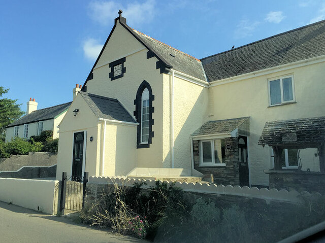
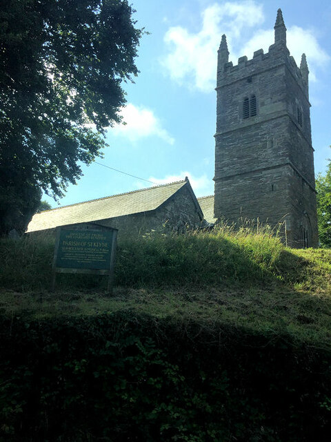
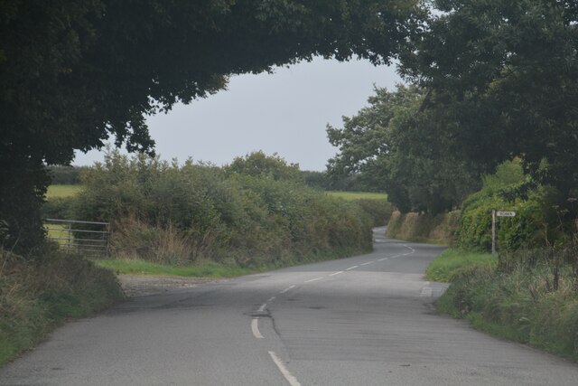
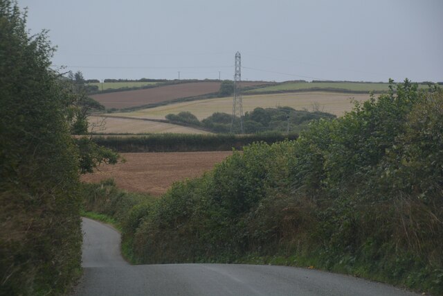
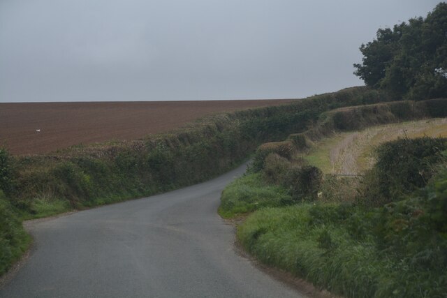
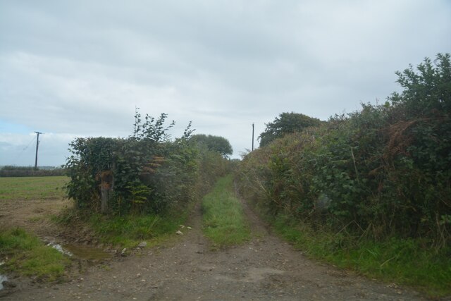
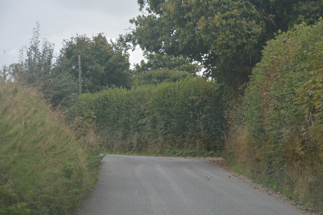
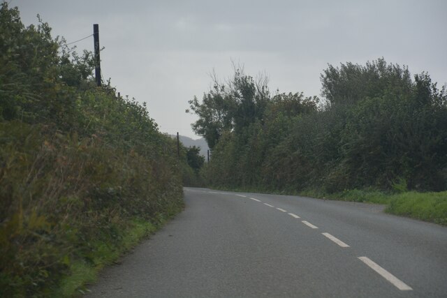
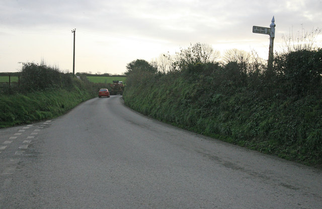
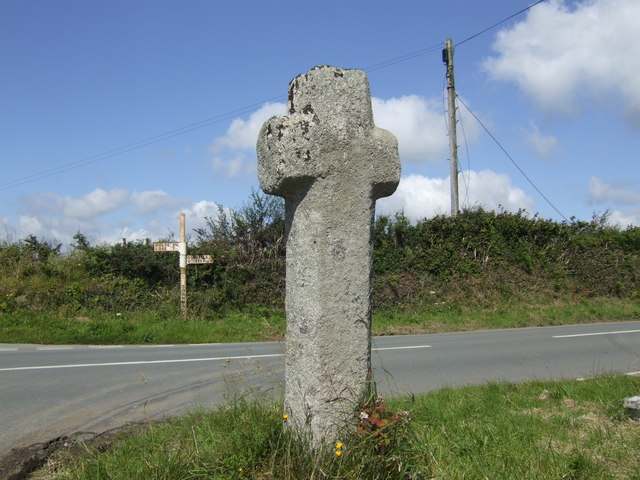
Lower Coryton Wood Images

Images are sourced within 2km of 50.431467/-4.4875587 or Grid Reference SX2362. Thanks to Geograph Open Source API. All images are credited.

Former Wesleyan chapel
St Keyne's Church
St Keyne's Church
Dobwalls : Country Road A road heads through the Cornish countryside.
Dobwalls : Country Road
A road heads through the Cornish countryside.
Dobwalls : Country Lane A lane heads through the Cornish countryside.
Dobwalls : Country Lane
A lane heads through the Cornish countryside.
Duloe : Country Lane A lane heads through the Cornish countryside.
Duloe : Country Lane
A lane heads through the Cornish countryside.
Duloe : Track A track heads off from the road.
Duloe : Track
A track heads off from the road.
Duloe : Country Lane A lane heads through the Cornish countryside.
Duloe : Country Lane
A lane heads through the Cornish countryside.
Duloe : Country Road A road heads through the Cornish countryside.
Duloe : Country Road
A road heads through the Cornish countryside.
Dunloe : Track A track heads off from the road towards Penbugle.
Dunloe : Track
A track heads off from the road towards Penbugle.
St. Keyne station I am submitting this photograph of St. Keyne station five years after the 2006
view, which was submitted to show the difference between that and the 2000 picture. Charmingly the station is now suffixed with the words 'Wishing Well halt'. This branch line is one of the many in the area and nationally that is enjoying a healthy increase in passengers, long may it continue.
St. Keyne station
I am submitting this photograph of St. Keyne station five years after the 2006 view, which was submitted to show the difference between that and the 2000 picture. Charmingly the station is now suffixed with the words 'Wishing Well halt'. This branch line is one of the many in the area and nationally that is enjoying a healthy increase in passengers, long may it continue.
Cornish farm house A very nice Cornish farm house at West Trevillies farm on an autumn afternoon.
Cornish farm house
A very nice Cornish farm house at West Trevillies farm on an autumn afternoon.
The Dobwalls to Looe Road Road junction for a minor road to St Keyne on the Dobwalls to Looe road.
The Dobwalls to Looe Road
Road junction for a minor road to St Keyne on the Dobwalls to Looe road.
Farm Equipment on the Dobwalls to Looe road
Paul Corin's Magnificent Music Machines Museum St. Keynes Cornwall Paul Corin's Magnificent Music Machines Museum is situated on the B3254 and was originally "Lametton Mill". Paul's father who started the museum in 1965 was the last Miller of Lametton. The museum website is at <span class="nowrap"><a title="www.paulcorinmusic.co.uk" rel="nofollow ugc noopener" href="http://www.paulcorinmusic.co.uk">Link</a><img style="margin-left:2px;" alt="External link" title="External link - shift click to open in new window" src="https://s1.geograph.org.uk/img/external.png" width="10" height="10"/></span>
Paul Corin's Magnificent Music Machines Museum St. Keynes Cornwall
Paul Corin's Magnificent Music Machines Museum is situated on the B3254 and was originally "Lametton Mill". Paul's father who started the museum in 1965 was the last Miller of Lametton. The museum website is at LinkExternal link
Trig point on field bank junction, Killigorrick This triangulation pillar has an Ordnance Survey flush bracket benchmark serial number S5742. More information at <span class="nowrap"><a title="http://www.trigpointinguk.com/trigs/trig-details.php?t=5373" rel="nofollow ugc noopener" href="http://www.trigpointinguk.com/trigs/trig-details.php?t=5373">Link</a><img style="margin-left:2px;" alt="External link" title="External link - shift click to open in new window" src="https://s1.geograph.org.uk/img/external.png" width="10" height="10"/></span>
Trig point on field bank junction, Killigorrick
This triangulation pillar has an Ordnance Survey flush bracket benchmark serial number S5742. More information at LinkExternal link
Leaving Coombe Junction for Liskeard, 1979 A view through the dirty rear window of a diesel multiple unit as it grinds up the hill from a reversal at Coombe Junction. Catch points diverting runaways down the hill to the right have not yet been reset by the signalman, whose signal box may be glimpsed (in the next square). The seven mile post is on the right, measured from Looe into Coombe Junction station and out again. The line from Looe is at the lower level on the left. Splitting junction signals are in front of the signalbox, these are for the station terminus to the right and the freight line to Moorswater to the left. The latter once connected with the Liskeard and Caradon Railway which ascended the heights of Bodmin Moor to reach several mines.  <a href="https://www.geograph.org.uk/photo/1649426">SX2363 : Coombe station, 1979</a> is a view in the reversal station, <a href="https://www.geograph.org.uk/photo/2823990">SX2463 : Approaching Coombe Junction from Looe, 1979</a> is a view in the same direction from the track from Looe to the left.
Leaving Coombe Junction for Liskeard, 1979
A view through the dirty rear window of a diesel multiple unit as it grinds up the hill from a reversal at Coombe Junction. Catch points diverting runaways down the hill to the right have not yet been reset by the signalman, whose signal box may be glimpsed (in the next square). The seven mile post is on the right, measured from Looe into Coombe Junction station and out again. The line from Looe is at the lower level on the left. Splitting junction signals are in front of the signalbox, these are for the station terminus to the right and the freight line to Moorswater to the left. The latter once connected with the Liskeard and Caradon Railway which ascended the heights of Bodmin Moor to reach several mines. SX2363 : Coombe station, 1979 is a view in the reversal station, SX2463 : Approaching Coombe Junction from Looe, 1979 is a view in the same direction from the track from Looe to the left.
Approaching Coombe Junction from Looe, 1979 A view through the dirty front window of a diesel multiple unit as it approaches the junction. It will reverse in the station beyond the signal box and return up the line to the right, heading for Liskeard. <a href="https://www.geograph.org.uk/photo/1649426">SX2363 : Coombe station, 1979</a> is a view in the reversal station, <a href="https://www.geograph.org.uk/photo/2823983">SX2463 : Leaving Coombe Junction for Liskeard, 1979</a> is a view in the same direction from the ascending track to the right.
Approaching Coombe Junction from Looe, 1979
A view through the dirty front window of a diesel multiple unit as it approaches the junction. It will reverse in the station beyond the signal box and return up the line to the right, heading for Liskeard. SX2363 : Coombe station, 1979 is a view in the reversal station, SX2463 : Leaving Coombe Junction for Liskeard, 1979 is a view in the same direction from the ascending track to the right.
Looe Valley The 1428 Liskeard to Looe train approaching the open crossing at Lodge Hill nr Coombe Junction.The East Looe river is behind the trees on the left.
Looe Valley
The 1428 Liskeard to Looe train approaching the open crossing at Lodge Hill nr Coombe Junction.The East Looe river is behind the trees on the left.
Show me another place!

Lower Coryton Wood is located at Grid Ref: SX2362 (Lat: 50.431467, Lng: -4.4875587)

Unitary Authority: Cornwall

Police Authority: Devon and Cornwall

What 3 Words

///mild.reverted.comfort. Near Liskeard, Cornwall

Related Wikis

Coombe, Liskeard

Coombe (Cornish: Komm) is a settlement in Cornwall, England, United Kingdom. It is situated one mile (1.6 km) southwest of Liskeard.Coombe Junction Halt...

Coombe Junction Halt railway station

Coombe Junction Halt railway station (Cornish: Gorta Kemper Komm) serves the villages of Coombe and Lamellion near Liskeard, Cornwall, England, UK. It...

Boduel

Boduel is a hamlet in east Cornwall, England, United Kingdom. It is situated west of Moorswater, one mile (1.6 km) west of Liskeard in the civil parish...

Lamellion

Lamellion is a hamlet in Cornwall, England. It is half a mile southwest of Liskeard (where the population for the 2011 census was included.) and nearer...

Nearby Amenities

Located within 500m of 50.431467,-4.4875587
Design: three-level
Power: tower
Lat/Long: 50.4331811/-4.4869604
Design: three-level
Power: tower
Lat/Long: 50.4324177/-4.4925623
Lower Coryton Wood
Lat/Long: 50.4315609/-4.4874183
Matthew’s Wood
Lat/Long: 50.4326612/-4.4842656
Highland Wood
Lat/Long: 50.4355656/-4.489512
West Kilgrew Wood
Lat/Long: 50.4308918/-4.4856609
East Kilgrew Wood
Lat/Long: 50.4300034/-4.4888581
Power: pole
Lat/Long: 50.4333639/-4.4934699
Power: pole
Lat/Long: 50.4335843/-4.49211
Power: pole
Lat/Long: 50.4338321/-4.4905597
Power: pole
Lat/Long: 50.4341242/-4.4887224
Power: pole
Lat/Long: 50.4345274/-4.4866142
Power: pole
Lat/Long: 50.4348179/-4.4852516
Power: pole
Lat/Long: 50.4349938/-4.4839346
The data included in this document is from www.openstreetmap.org. The data is made available under ODbL.

Have you been to Lower Coryton Wood?

Leave your review of Lower Coryton Wood below (or comments, questions and feedback).