Slip Wood
Wood, Forest in Cornwall
England
Slip Wood
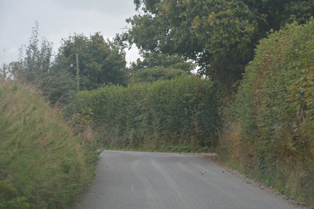
Slip Wood is a picturesque forest located in the beautiful region of Cornwall, England. Situated on the outskirts of the charming village of Wood, Slip Wood is renowned for its natural beauty and tranquility.
Covering an area of approximately 100 acres, Slip Wood is predominantly composed of native deciduous trees, including oak, beech, and ash. The forest boasts a rich and diverse ecosystem, providing a habitat for various wildlife species such as deer, squirrels, and a wide range of bird species. The forest floor is adorned with a carpet of ferns, mosses, and wildflowers, creating a vibrant and enchanting environment.
Slip Wood is a haven for nature enthusiasts, offering a network of well-maintained walking trails that wind through the woods, allowing visitors to immerse themselves in the serene surroundings. These trails cater to all abilities, from leisurely strolls to more challenging hikes, providing opportunities to explore the forest's hidden gems.
The forest also features a small picnic area, where visitors can relax and enjoy a picnic amidst the peaceful atmosphere. Additionally, Slip Wood is a popular destination for birdwatching, with several designated spots providing excellent vantage points for observing the diverse avian population.
Managed by the local council, Slip Wood is open to the public year-round, free of charge. Visitors are encouraged to respect the natural environment and follow the designated trails to ensure the preservation of this precious woodland. Slip Wood truly offers a tranquil retreat for individuals seeking solace in nature's embrace.
If you have any feedback on the listing, please let us know in the comments section below.
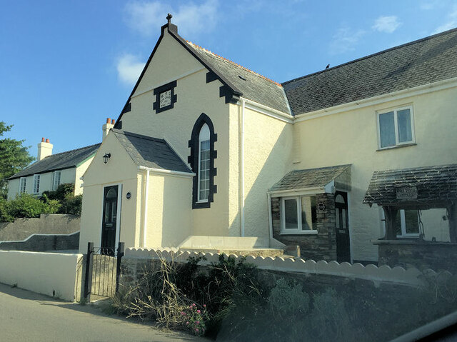
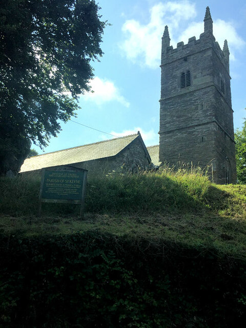
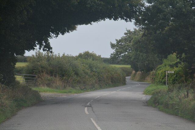
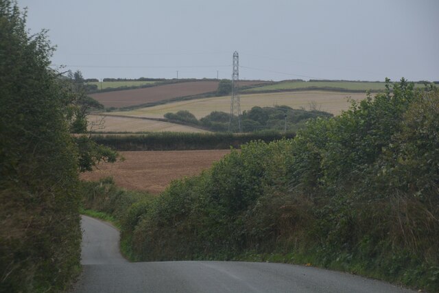
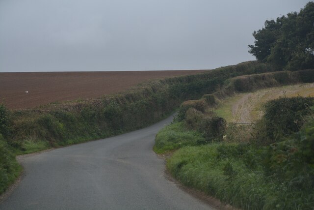
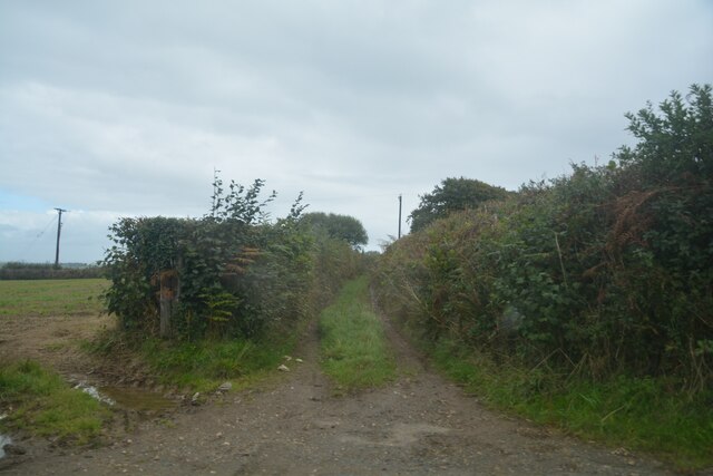
Slip Wood Images
Images are sourced within 2km of 50.436516/-4.4886826 or Grid Reference SX2362. Thanks to Geograph Open Source API. All images are credited.


Slip Wood is located at Grid Ref: SX2362 (Lat: 50.436516, Lng: -4.4886826)
Unitary Authority: Cornwall
Police Authority: Devon and Cornwall
What 3 Words
///slick.smuggled.awoken. Near Liskeard, Cornwall
Nearby Locations
Related Wikis

Coombe, Liskeard
Coombe (Cornish: Komm) is a settlement in Cornwall, England, United Kingdom. It is situated one mile (1.6 km) southwest of Liskeard. Coombe Junction Halt...

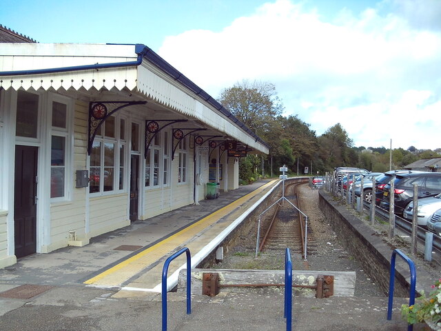
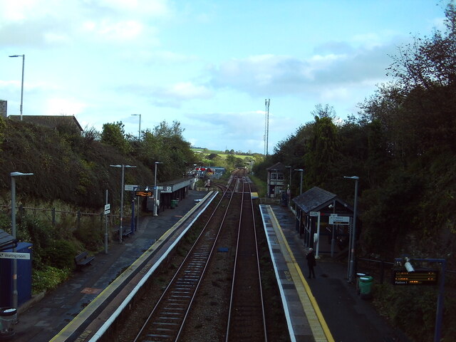
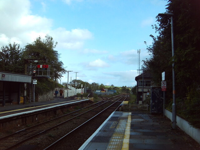
Coombe Junction Halt railway station
Coombe Junction Halt railway station (Cornish: Gorta Kemper Komm) serves the villages of Coombe and Lamellion near Liskeard, Cornwall, England, UK. It...
Boduel
Boduel is a hamlet in east Cornwall, England, United Kingdom. It is situated west of Moorswater, one mile (1.6 km) west of Liskeard in the civil parish...

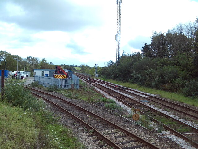
Moorswater railway station
Moorswater railway station (Cornish: Dowr an Hal) was the centre of operations for the Liskeard and Caradon Railway and the Liskeard and Looe Railway....
Nearby Amenities
Located within 500m of 50.436516,-4.4886826Have you been to Slip Wood?
Leave your review of Slip Wood below (or comments, questions and feedback).