Charnage

Settlement in Wiltshire

England

Charnage

Mere : Chaddenwick Hill A303 Looking along Chaddenwick Hill.
Mere : Chaddenwick Hill A303 Credit: Lewis Clarke

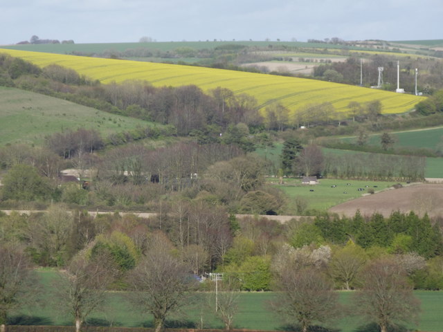
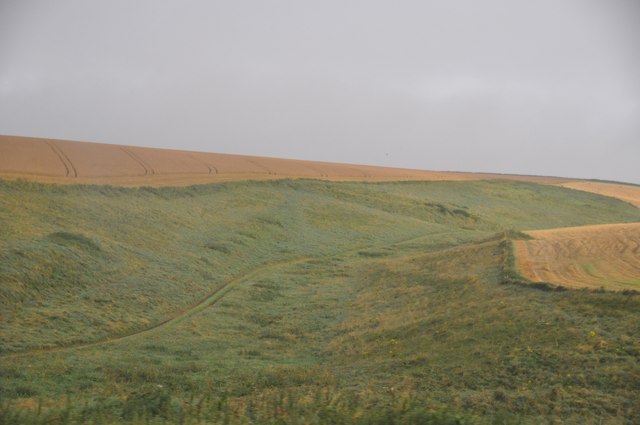
Charnage is a small village located in the county of Wiltshire, in the southwestern part of England. Situated approximately 5 miles southeast of the town of Devizes, Charnage is nestled in a picturesque rural setting characterized by rolling hills, open fields, and charming countryside views.

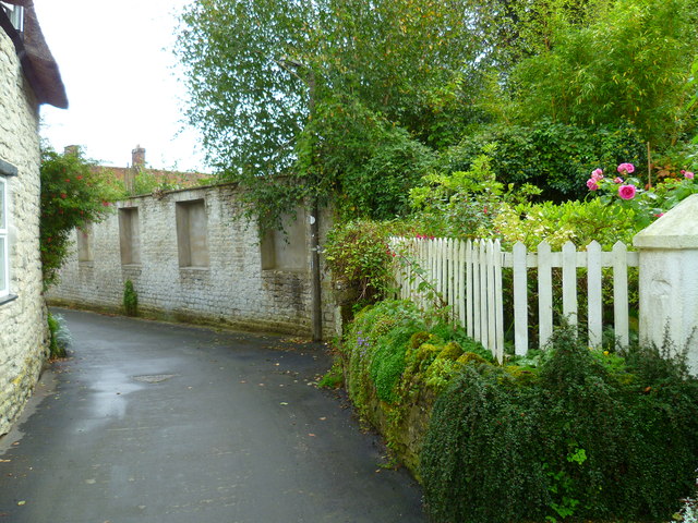
The village has a population of around 300 residents, making it a tight-knit and close community. The village is primarily residential, with a mix of traditional cottages and more modern houses. Many of the buildings in Charnage date back several centuries, adding to its historical charm.

Despite its small size, Charnage boasts a few amenities for its residents. There is a local pub, The Fox and Hound, which serves as a social hub for the village. The pub offers a cozy atmosphere and traditional British cuisine. Additionally, there is a village hall that hosts various community events and gatherings throughout the year.

The surrounding countryside offers ample opportunities for outdoor activities such as hiking, cycling, and horse riding. Charnage is also within close proximity to several notable attractions, including the historic market town of Devizes, with its famous Wadworth Brewery and the impressive Devizes Castle.

Overall, Charnage is a peaceful and idyllic village, perfect for those seeking a tranquil rural lifestyle while still being within reach of nearby towns and amenities.

If you have any feedback on the listing, please let us know in the comments section below.
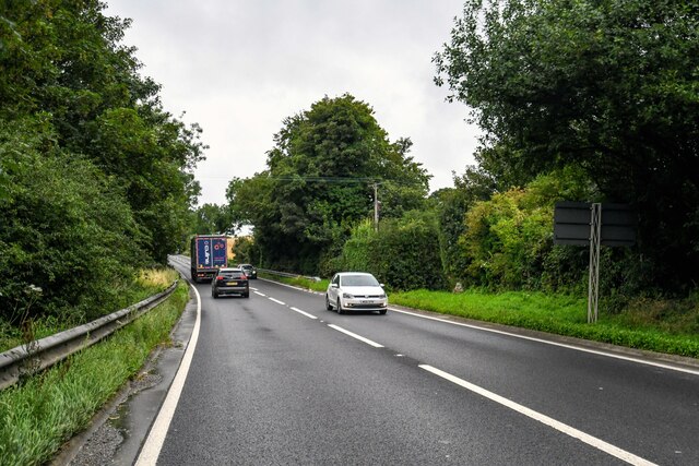
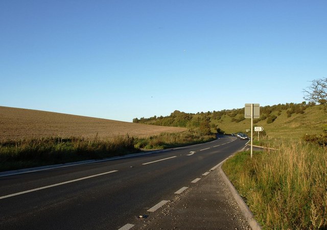
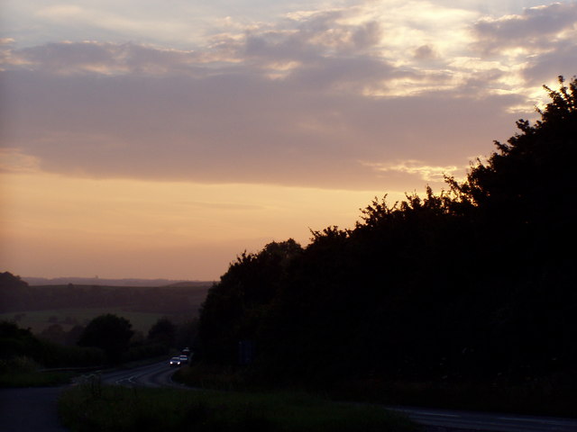
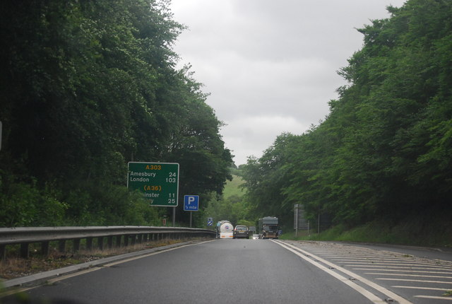
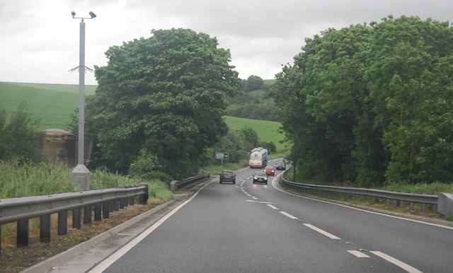
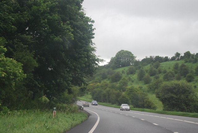
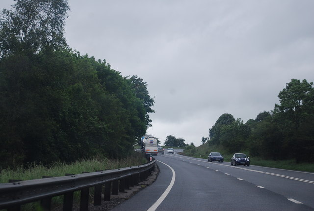
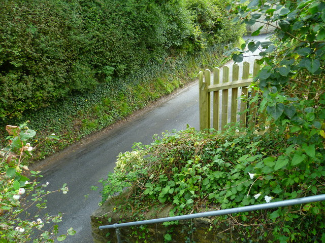
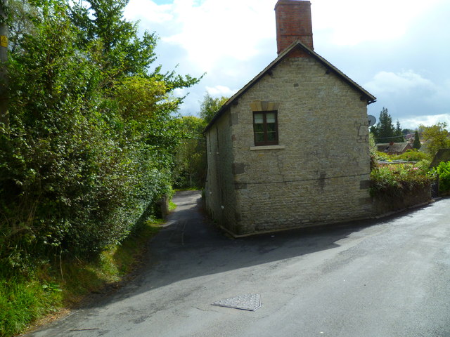
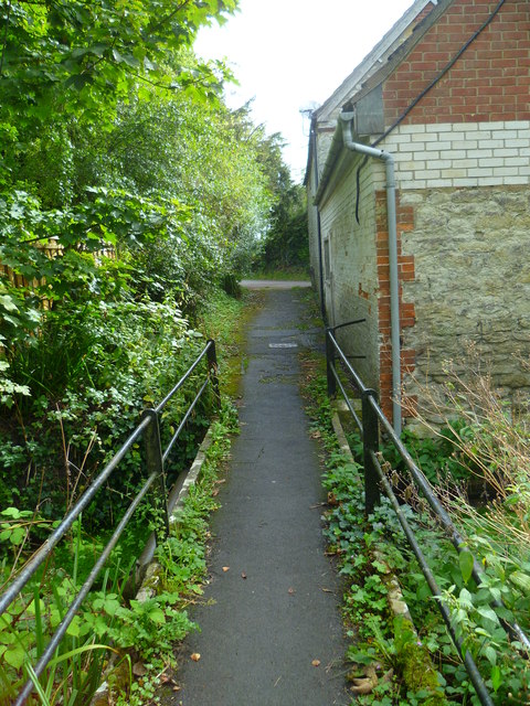
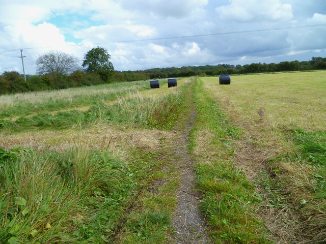
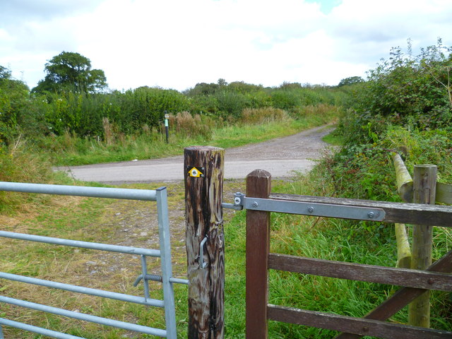
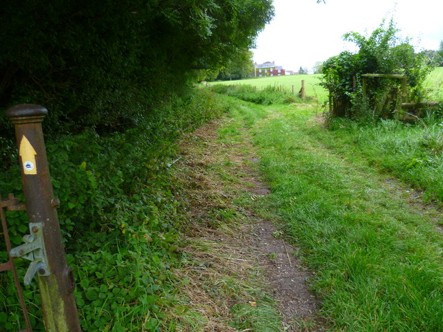
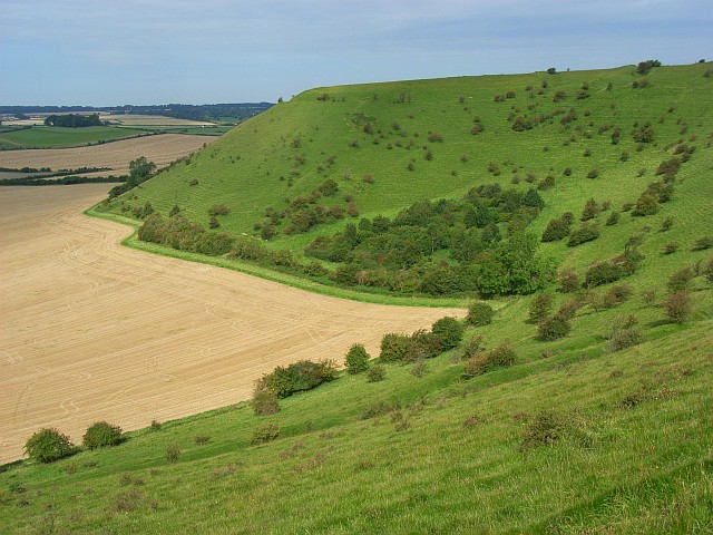
Charnage Images

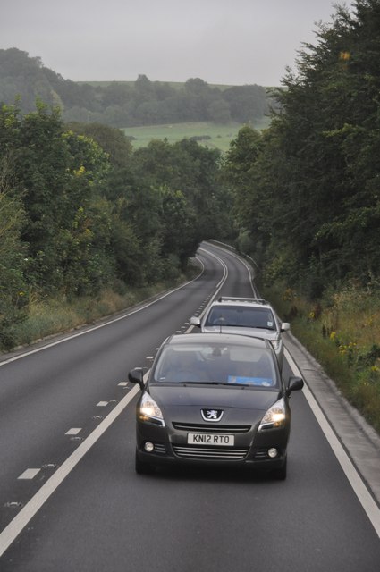
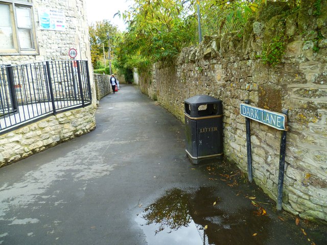
Images are sourced within 2km of 51.087445/-2.238381 or Grid Reference ST8332. Thanks to Geograph Open Source API. All images are credited.

Mere : Chaddenwick Hill A303 Looking along Chaddenwick Hill.
Mere : Chaddenwick Hill A303
Looking along Chaddenwick Hill.
The A303 at the foot of Chaddenwick Hill
Dusk Over Dorset The A303 taken at dusk from a layby at the turning to Barrow Street near Mere.
Dusk Over Dorset
The A303 taken at dusk from a layby at the turning to Barrow Street near Mere.
East Hill, Mere Seen from the top of Castle Hill - a landscape of fields, hedgerows and undulating hills.
East Hill, Mere
Seen from the top of Castle Hill - a landscape of fields, hedgerows and undulating hills.
A303, east of Mere The A303 is a main trunk road running 92 miles between Basingstoke and Honiton. Along with the A30 and M3 it forms a major route between London and the South West. Much of the road is dual carriageway, but some stretches remain single and prone to congestion.

Wikipedia: <span class="nowrap"><a title="http://en.wikipedia.org/wiki/A303_road" rel="nofollow ugc noopener" href="http://en.wikipedia.org/wiki/A303_road">Link</a><img style="margin-left:2px;" alt="External link" title="External link - shift click to open in new window" src="https://s1.geograph.org.uk/img/external.png" width="10" height="10"/></span>
A303, east of Mere
The A303 is a main trunk road running 92 miles between Basingstoke and Honiton. Along with the A30 and M3 it forms a major route between London and the South West. Much of the road is dual carriageway, but some stretches remain single and prone to congestion. Wikipedia: LinkExternal link
A303 near Pinching Pierce Barn The A303 is a main trunk road running 92 miles between Basingstoke and Honiton. Along with the A30 and M3 it forms a major route between London and the South West. Much of the road is dual carriageway, but some stretches remain single and prone to congestion.

Wikipedia: <span class="nowrap"><a title="http://en.wikipedia.org/wiki/A303_road" rel="nofollow ugc noopener" href="http://en.wikipedia.org/wiki/A303_road">Link</a><img style="margin-left:2px;" alt="External link" title="External link - shift click to open in new window" src="https://s1.geograph.org.uk/img/external.png" width="10" height="10"/></span>
A303 near Pinching Pierce Barn
The A303 is a main trunk road running 92 miles between Basingstoke and Honiton. Along with the A30 and M3 it forms a major route between London and the South West. Much of the road is dual carriageway, but some stretches remain single and prone to congestion. Wikipedia: LinkExternal link
A303 west of Chaddenwick Hill The A303 is a main trunk road running 92 miles between Basingstoke and Honiton. Along with the A30 and M3 it forms a major route between London and the South West. Much of the road is dual carriageway, but some stretches remain single and prone to congestion.

Wikipedia: <span class="nowrap"><a title="http://en.wikipedia.org/wiki/A303_road" rel="nofollow ugc noopener" href="http://en.wikipedia.org/wiki/A303_road">Link</a><img style="margin-left:2px;" alt="External link" title="External link - shift click to open in new window" src="https://s1.geograph.org.uk/img/external.png" width="10" height="10"/></span>
A303 west of Chaddenwick Hill
The A303 is a main trunk road running 92 miles between Basingstoke and Honiton. Along with the A30 and M3 it forms a major route between London and the South West. Much of the road is dual carriageway, but some stretches remain single and prone to congestion. Wikipedia: LinkExternal link
A303, Chaddenwick Hill One of the steepest hills on the A303, climbing Charnage Down.
A303, Chaddenwick Hill
One of the steepest hills on the A303, climbing Charnage Down.
Salisbury District : The A303 The A303 near Mere in Wiltshire.
Salisbury District : The A303
The A303 near Mere in Wiltshire.
Salisbury District : Grassy Countryside & Hillsides The grassy countryside and hills by the A303 in Wiltshire.
Salisbury District : Grassy Countryside & Hillsides
The grassy countryside and hills by the A303 in Wiltshire.
The Orange Way in Wiltshire (27)
The Orange Way in Wiltshire (28)
The Orange Way in Wiltshire (29) These are steps down from an elevated path in front of houses to the road at The Lynch.
The Orange Way in Wiltshire (29)
These are steps down from an elevated path in front of houses to the road at The Lynch.
The Orange Way in Wiltshire (30) The walk goes down the tiny lane to the left.
The Orange Way in Wiltshire (30)
The walk goes down the tiny lane to the left.
The Orange Way in Wiltshire (31) The lane at the end of the path is Mill Lane.
The Orange Way in Wiltshire (31)
The lane at the end of the path is Mill Lane.
The Orange Way in Wiltshire (32) Here's a long straight walk across a flat field.
The Orange Way in Wiltshire (32)
Here's a long straight walk across a flat field.
The Orange Way in Wiltshire (33) The way goes ahead, crossing the lane called Southbrook.
The Orange Way in Wiltshire (33)
The way goes ahead, crossing the lane called Southbrook.
The Orange Way in Wiltshire (34) Chaddenwick Wood is on the left.
The Orange Way in Wiltshire (34)
Chaddenwick Wood is on the left.
Show me another place!

Charnage is located at Grid Ref: ST8332 (Lat: 51.087445, Lng: -2.238381)

Unitary Authority: Wiltshire

Police Authority: Wiltshire

What 3 Words

///lilac.yelled.lushly. Near Mere, Wiltshire

Related Wikis

Charnage Down Chalk Pit

Charnage Down Chalk Pit (grid reference ST837329) is a 3.7 hectare geological Site of Special Scientific Interest in Wiltshire, England, lying east of...

Barrow Street, Wiltshire

Barrow Street is a hamlet in Wiltshire, England, about 1.9 miles (3.1 km) southeast of the town of Mere. The name comes from the early Bronze Age bowl...

Mere, Wiltshire

Mere is a market town and civil parish in Wiltshire, England. It lies at the extreme southwestern tip of Salisbury Plain, close to the borders of Somerset...

Castle Hill, Mere

Castle Hill, also called Mere Castle, was a medieval fortification built by Richard, the Earl of Cornwall, in 1253 on a hill overlooking the town of Mere...

West Knoyle

West Knoyle is a small village and civil parish in southwest Wiltshire, England, close to the southern edge of Salisbury Plain. The village is about 2...

Hang Wood

Hang Wood (grid reference ST861319) is a 20.3 hectare biological Site of Special Scientific Interest in Wiltshire, notified in 1986. == Sources == Natural...

Dead Maid Quarry

Dead Maid Quarry (grid reference ST803324) is a 4,400 square metre geological Site of Special Scientific Interest in Mere, Wiltshire, England, notified...

White Sheet Hill

White Sheet Hill, also known as Whitesheet Hill, is a hill in the English county of Wiltshire. As one of the most westerly areas of downland in Britain...

Nearby Amenities

Located within 500m of 51.087445,-2.238381
The data included in this document is from www.openstreetmap.org. The data is made available under ODbL.

Have you been to Charnage?

Leave your review of Charnage below (or comments, questions and feedback).