Chaddenwick Wood

Wood, Forest in Wiltshire

England

Chaddenwick Wood

Clock Tower Clock tower in The Square, at the junction of Castle Street, Church Street and Salisbury Street.  Dated 1868 and designed by London architects Harding and Bond, it replaced a former medieval market house.  Grade II listed - see <span class="nowrap"><a title="https://historicengland.org.uk/listing/the-list/list-entry/1130733?section=official-list-entry" rel="nofollow ugc noopener" href="https://historicengland.org.uk/listing/the-list/list-entry/1130733?section=official-list-entry">Link</a><img style="margin-left:2px;" alt="External link" title="External link - shift click to open in new window" src="https://s1.geograph.org.uk/img/external.png" width="10" height="10"/></span>.  Next to it on the right is Mere War Memorial of 1921 and in the left background is the late 19th Century Walton House.  Both are also grade II listed - see <span class="nowrap"><a title="https://historicengland.org.uk/listing/the-list/list-entry/1452025?section=official-list-entry" rel="nofollow ugc noopener" href="https://historicengland.org.uk/listing/the-list/list-entry/1452025?section=official-list-entry">Link</a><img style="margin-left:2px;" alt="External link" title="External link - shift click to open in new window" src="https://s1.geograph.org.uk/img/external.png" width="10" height="10"/></span> and <span class="nowrap"><a title="https://historicengland.org.uk/listing/the-list/list-entry/1318646?section=official-list-entry" rel="nofollow ugc noopener" href="https://historicengland.org.uk/listing/the-list/list-entry/1318646?section=official-list-entry">Link</a><img style="margin-left:2px;" alt="External link" title="External link - shift click to open in new window" src="https://s1.geograph.org.uk/img/external.png" width="10" height="10"/></span> respectively.
Clock Tower Credit: Ian Capper

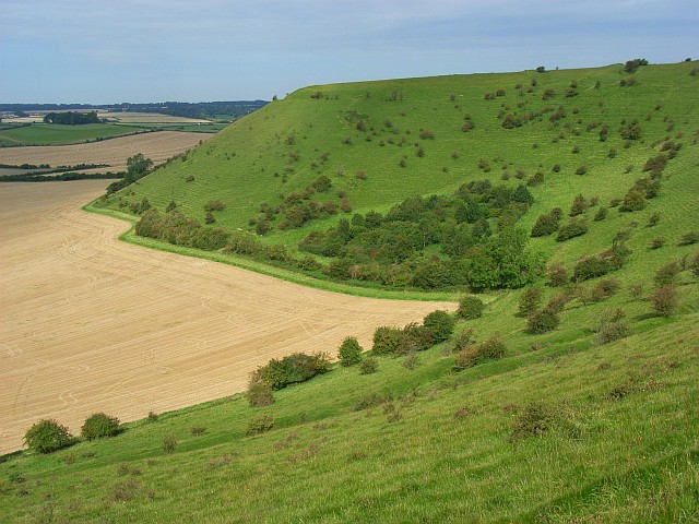
Chaddenwick Wood is a picturesque forest located in the county of Wiltshire, England. Covering an area of approximately 500 acres, this ancient woodland is known for its rich biodiversity and stunning natural beauty. Situated near the village of Chaddenwick, the wood is easily accessible and attracts visitors from both the local community and tourists alike.

The forest is predominantly made up of a mixture of broadleaf species, including oak, beech, ash, and birch trees. These towering trees create a dense canopy that provides shade and shelter for the wide variety of wildlife that inhabit the wood. Visitors can expect to encounter an array of bird species, including woodpeckers, owls, and various songbirds, as well as small mammals like squirrels and rabbits.

Chaddenwick Wood also boasts a network of walking trails and paths, making it an ideal destination for nature enthusiasts and hikers. The paths meander through the forest, allowing visitors to immerse themselves in the tranquility of the surroundings and take in the sights and sounds of the woodland.

The wood is particularly enchanting during the spring and summer months when a vibrant display of wildflowers carpet the forest floor. Bluebells, primroses, and wood anemones create a stunning tapestry of colors, attracting photographers and nature lovers alike.

Overall, Chaddenwick Wood offers a peaceful retreat for those seeking solace in nature. With its diverse range of flora and fauna, it provides a wonderful opportunity for exploration and appreciation of the natural world.

If you have any feedback on the listing, please let us know in the comments section below.

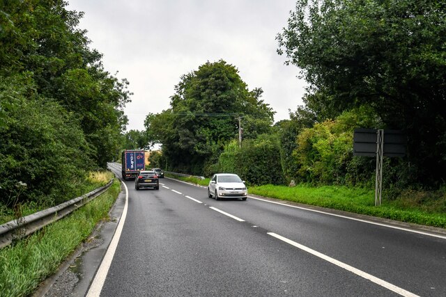
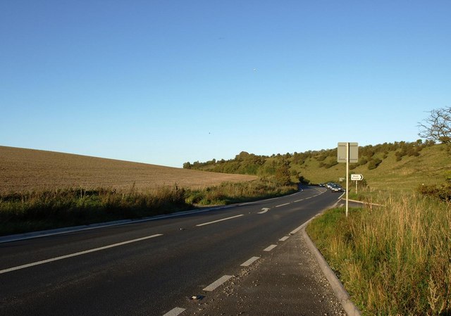
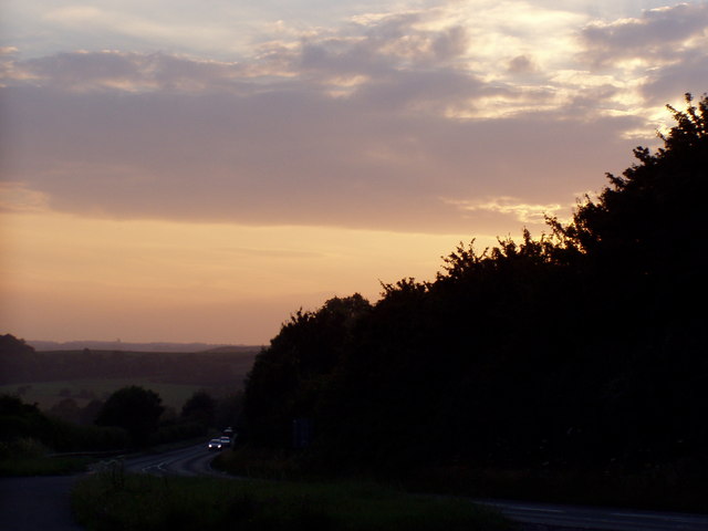
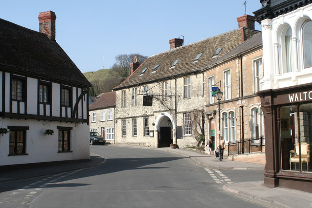
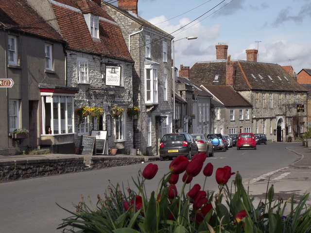
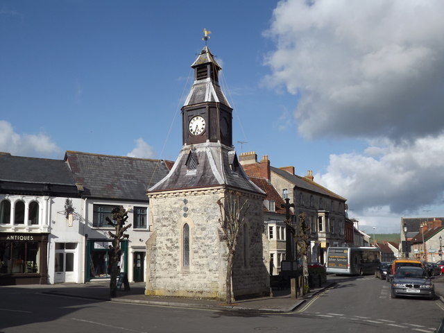
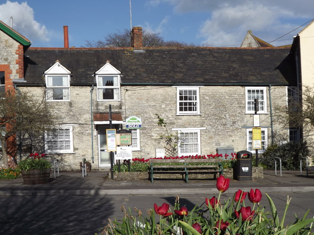
Chaddenwick Wood Images

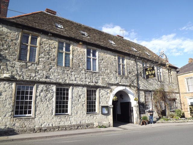
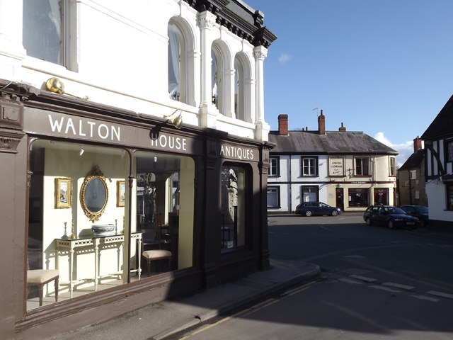
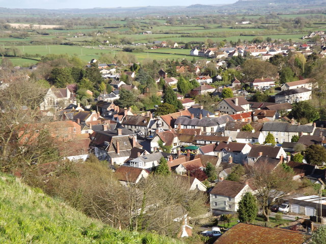
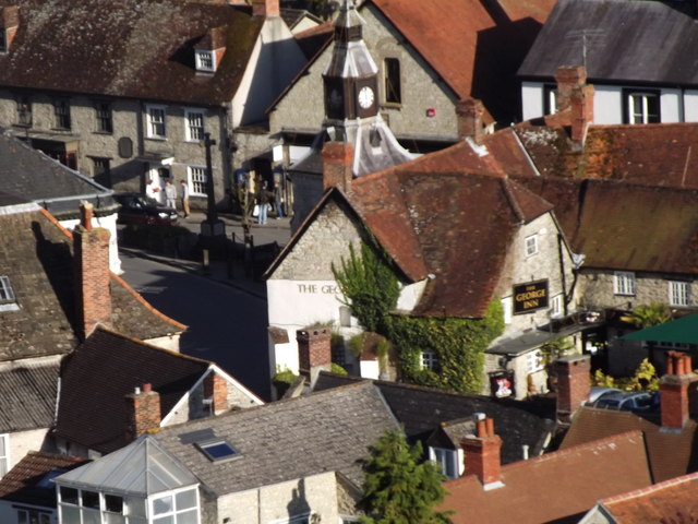
Images are sourced within 2km of 51.088485/-2.2420322 or Grid Reference ST8332. Thanks to Geograph Open Source API. All images are credited.

Clock Tower Clock tower in The Square, at the junction of Castle Street, Church Street and Salisbury Street.  Dated 1868 and designed by London architects Harding and Bond, it replaced a former medieval market house.  Grade II listed - see <span class="nowrap"><a title="https://historicengland.org.uk/listing/the-list/list-entry/1130733?section=official-list-entry" rel="nofollow ugc noopener" href="https://historicengland.org.uk/listing/the-list/list-entry/1130733?section=official-list-entry">Link</a><img style="margin-left:2px;" alt="External link" title="External link - shift click to open in new window" src="https://s1.geograph.org.uk/img/external.png" width="10" height="10"/></span>.  Next to it on the right is Mere War Memorial of 1921 and in the left background is the late 19th Century Walton House.  Both are also grade II listed - see <span class="nowrap"><a title="https://historicengland.org.uk/listing/the-list/list-entry/1452025?section=official-list-entry" rel="nofollow ugc noopener" href="https://historicengland.org.uk/listing/the-list/list-entry/1452025?section=official-list-entry">Link</a><img style="margin-left:2px;" alt="External link" title="External link - shift click to open in new window" src="https://s1.geograph.org.uk/img/external.png" width="10" height="10"/></span> and <span class="nowrap"><a title="https://historicengland.org.uk/listing/the-list/list-entry/1318646?section=official-list-entry" rel="nofollow ugc noopener" href="https://historicengland.org.uk/listing/the-list/list-entry/1318646?section=official-list-entry">Link</a><img style="margin-left:2px;" alt="External link" title="External link - shift click to open in new window" src="https://s1.geograph.org.uk/img/external.png" width="10" height="10"/></span> respectively.
Clock Tower
Clock tower in The Square, at the junction of Castle Street, Church Street and Salisbury Street. Dated 1868 and designed by London architects Harding and Bond, it replaced a former medieval market house. Grade II listed - see LinkExternal link. Next to it on the right is Mere War Memorial of 1921 and in the left background is the late 19th Century Walton House. Both are also grade II listed - see LinkExternal link and LinkExternal link respectively.
Mere : Chaddenwick Hill A303 Looking along Chaddenwick Hill.
Mere : Chaddenwick Hill A303
Looking along Chaddenwick Hill.
Mere Croquet Club Formed to make use of open space off Steep Street and preserve it from development when the bowls club moved elsewhere, this small ground accommodates a clubhouse, toilet block and boules as well as croquet.
Mere Croquet Club
Formed to make use of open space off Steep Street and preserve it from development when the bowls club moved elsewhere, this small ground accommodates a clubhouse, toilet block and boules as well as croquet.
The A303 at the foot of Chaddenwick Hill
Dusk Over Dorset The A303 taken at dusk from a layby at the turning to Barrow Street near Mere.
Dusk Over Dorset
The A303 taken at dusk from a layby at the turning to Barrow Street near Mere.
The Clock Tower, Mere Built in 1868 on the site occupied by the Market House until 1863. The clock tower was given to the town by H.R.H. the Prince of Wales. Grade II Listed.
The Clock Tower, Mere
Built in 1868 on the site occupied by the Market House until 1863. The clock tower was given to the town by H.R.H. the Prince of Wales. Grade II Listed.
Castle Street, Mere An attractive street lined with many fine listed buildings, such as the Old Ship Hotel (Grade II*) in the centre of the photo.
Castle Street, Mere
An attractive street lined with many fine listed buildings, such as the Old Ship Hotel (Grade II*) in the centre of the photo.
Mere War Memorial Situated in The Square, next to the Clock Tower.
Mere War Memorial
Situated in The Square, next to the Clock Tower.
Castle Street This would once have been the main road leading westwards out of the village of Mere, away from The Square. Now the village is by-passed by the modern A303.
<span class="nowrap"><a title="http://merewilts.org/" rel="nofollow ugc noopener" href="http://merewilts.org/">Link</a><img style="margin-left:2px;" alt="External link" title="External link - shift click to open in new window" src="https://s1.geograph.org.uk/img/external.png" width="10" height="10"/></span>
Castle Street
This would once have been the main road leading westwards out of the village of Mere, away from The Square. Now the village is by-passed by the modern A303. LinkExternal link
Clock Tower, Mere The dominant feature in The Square at the heart of Mere village.
<span class="nowrap"><a title="http://merewilts.org/" rel="nofollow ugc noopener" href="http://merewilts.org/">Link</a><img style="margin-left:2px;" alt="External link" title="External link - shift click to open in new window" src="https://s1.geograph.org.uk/img/external.png" width="10" height="10"/></span>
Clock Tower, Mere
The dominant feature in The Square at the heart of Mere village. LinkExternal link
Old Ship Inn Fine old coaching inn on Castle Street, Mere. This was once on the London-Exeter coach road.
<span class="nowrap"><a title="http://merewilts.org/" rel="nofollow ugc noopener" href="http://merewilts.org/">Link</a><img style="margin-left:2px;" alt="External link" title="External link - shift click to open in new window" src="https://s1.geograph.org.uk/img/external.png" width="10" height="10"/></span>
Old Ship Inn
Fine old coaching inn on Castle Street, Mere. This was once on the London-Exeter coach road. LinkExternal link
Angel Corner Tea rooms in a historic house (1756) at the corner of The Square and Angel Lane in Mere.
<span class="nowrap"><a title="http://merewilts.org/" rel="nofollow ugc noopener" href="http://merewilts.org/">Link</a><img style="margin-left:2px;" alt="External link" title="External link - shift click to open in new window" src="https://s1.geograph.org.uk/img/external.png" width="10" height="10"/></span>
Angel Corner
Tea rooms in a historic house (1756) at the corner of The Square and Angel Lane in Mere. LinkExternal link
Mere Attractive stone cottages facing The Square in the heart of Mere.
<span class="nowrap"><a title="http://merewilts.org/" rel="nofollow ugc noopener" href="http://merewilts.org/">Link</a><img style="margin-left:2px;" alt="External link" title="External link - shift click to open in new window" src="https://s1.geograph.org.uk/img/external.png" width="10" height="10"/></span>
Mere
Attractive stone cottages facing The Square in the heart of Mere. LinkExternal link
Old Ship Inn Sign Magnificent wrought iron inn sign overhanging Castle Street, Mere. This was a coaching inn on the London-Exeter road.
<span class="nowrap"><a title="http://merewilts.org/" rel="nofollow ugc noopener" href="http://merewilts.org/">Link</a><img style="margin-left:2px;" alt="External link" title="External link - shift click to open in new window" src="https://s1.geograph.org.uk/img/external.png" width="10" height="10"/></span>
Old Ship Inn Sign
Magnificent wrought iron inn sign overhanging Castle Street, Mere. This was a coaching inn on the London-Exeter road. LinkExternal link
Old Ship Inn, Castle Street Former coaching inn in the centre of Mere. This was on the London-Exeter coaching route.
<span class="nowrap"><a title="http://merewilts.org/" rel="nofollow ugc noopener" href="http://merewilts.org/">Link</a><img style="margin-left:2px;" alt="External link" title="External link - shift click to open in new window" src="https://s1.geograph.org.uk/img/external.png" width="10" height="10"/></span>
Old Ship Inn, Castle Street
Former coaching inn in the centre of Mere. This was on the London-Exeter coaching route. LinkExternal link
Walton House Antiques Large shop on The Square at Mere. Angel Corner with its rea rooms is in the background.
<span class="nowrap"><a title="http://merewilts.org/" rel="nofollow ugc noopener" href="http://merewilts.org/">Link</a><img style="margin-left:2px;" alt="External link" title="External link - shift click to open in new window" src="https://s1.geograph.org.uk/img/external.png" width="10" height="10"/></span>
Walton House Antiques
Large shop on The Square at Mere. Angel Corner with its rea rooms is in the background. LinkExternal link
Mere from Castle Hill Mere, in the evening sunlight, at the foot of its historic Castle Hill.
<span class="nowrap"><a title="http://merewilts.org/" rel="nofollow ugc noopener" href="http://merewilts.org/">Link</a><img style="margin-left:2px;" alt="External link" title="External link - shift click to open in new window" src="https://s1.geograph.org.uk/img/external.png" width="10" height="10"/></span>
Mere from Castle Hill
Mere, in the evening sunlight, at the foot of its historic Castle Hill. LinkExternal link
The George Inn from Castle Hill View from Mere's Castle Hill down to this historic inn on The Square. Note the Clock Tower behind the inn.
<span class="nowrap"><a title="http://merewilts.org/" rel="nofollow ugc noopener" href="http://merewilts.org/">Link</a><img style="margin-left:2px;" alt="External link" title="External link - shift click to open in new window" src="https://s1.geograph.org.uk/img/external.png" width="10" height="10"/></span>
The George Inn from Castle Hill
View from Mere's Castle Hill down to this historic inn on The Square. Note the Clock Tower behind the inn. LinkExternal link
Show me another place!

Chaddenwick Wood is located at Grid Ref: ST8332 (Lat: 51.088485, Lng: -2.2420322)

Unitary Authority: Wiltshire

Police Authority: Wiltshire

What 3 Words

///worldwide.replaying.internet. Near Mere, Wiltshire

Related Wikis

Charnage Down Chalk Pit

Charnage Down Chalk Pit (grid reference ST837329) is a 3.7 hectare geological Site of Special Scientific Interest in Wiltshire, England, lying east of...

Barrow Street, Wiltshire

Barrow Street is a hamlet in Wiltshire, England, about 1.9 miles (3.1 km) southeast of the town of Mere. The name comes from the early Bronze Age bowl...

Mere, Wiltshire

Mere is a market town and civil parish in Wiltshire, England. It lies at the extreme southwestern tip of Salisbury Plain, close to the borders of Somerset...

Castle Hill, Mere

Castle Hill, also called Mere Castle, was a medieval fortification built by Richard, the Earl of Cornwall, in 1253 on a hill overlooking the town of Mere...

West Knoyle

West Knoyle is a small village and civil parish in southwest Wiltshire, England, close to the southern edge of Salisbury Plain. The village is about 2...

Dead Maid Quarry

Dead Maid Quarry (grid reference ST803324) is a 4,400 square metre geological Site of Special Scientific Interest in Mere, Wiltshire, England, notified...

Hang Wood

Hang Wood (grid reference ST861319) is a 20.3 hectare biological Site of Special Scientific Interest in Wiltshire, notified in 1986. == Sources == Natural...

White Sheet Hill

White Sheet Hill, also known as Whitesheet Hill, is a hill in the English county of Wiltshire. As one of the most westerly areas of downland in Britain...

Nearby Amenities

Located within 500m of 51.088485,-2.2420322
The data included in this document is from www.openstreetmap.org. The data is made available under ODbL.

Have you been to Chaddenwick Wood?

Leave your review of Chaddenwick Wood below (or comments, questions and feedback).