Burton Lane Copse

Wood, Forest in Wiltshire

England

Burton Lane Copse

Mere : Chaddenwick Hill A303 Looking along Chaddenwick Hill.
Mere : Chaddenwick Hill A303 Credit: Lewis Clarke

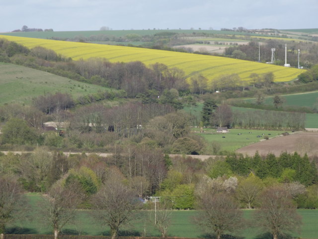
Burton Lane Copse is a picturesque woodland located in the county of Wiltshire, England. Situated near the village of Burton, the Copse is known for its natural beauty and tranquil atmosphere. Covering an area of approximately 50 acres, it is a popular destination for nature enthusiasts, hikers, and those seeking a peaceful escape from the hustle and bustle of everyday life.

The Copse is predominantly made up of deciduous trees, including oak, beech, and ash, which create a dense canopy, providing shade and shelter for a diverse range of flora and fauna. The forest floor is covered in a thick carpet of moss, ferns, and wildflowers, adding to its enchanting appeal. In spring, the Copse comes alive with vibrant bluebells, creating a breathtaking display of color.

A network of footpaths and trails wind their way through the Copse, allowing visitors to explore the woodland at their own pace. These paths lead to hidden clearings, ancient trees, and small streams, offering a sense of discovery and adventure. The peaceful ambiance is further enhanced by the gentle sound of birdsong and the occasional rustling of leaves.

Burton Lane Copse is also home to a variety of wildlife, including deer, foxes, and a myriad of bird species. Birdwatchers can often spot woodpeckers, owls, and thrushes among the treetops, making it a haven for ornithologists and nature photographers alike.

Overall, Burton Lane Copse is a haven of natural beauty, offering a serene and captivating experience for all who visit. It is a place where one can reconnect with nature, unwind, and appreciate the wonders of the British countryside.

If you have any feedback on the listing, please let us know in the comments section below.

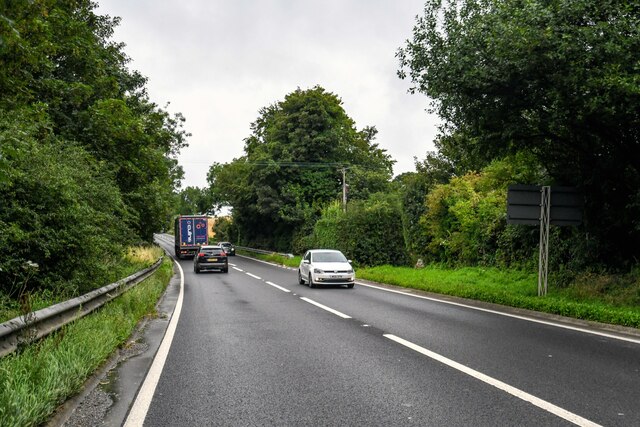
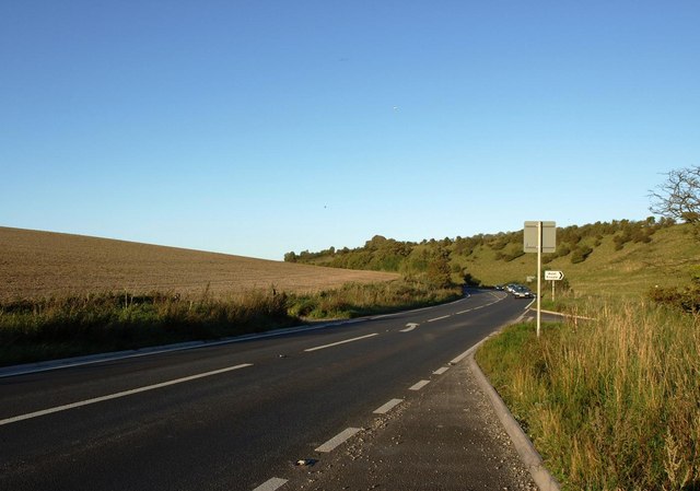
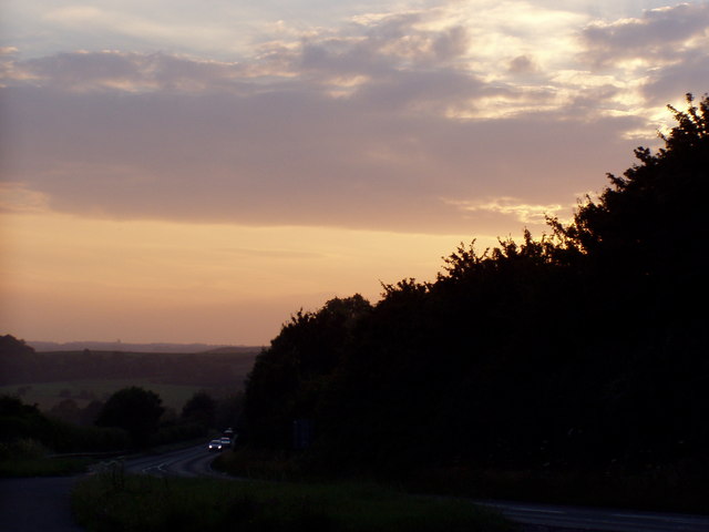
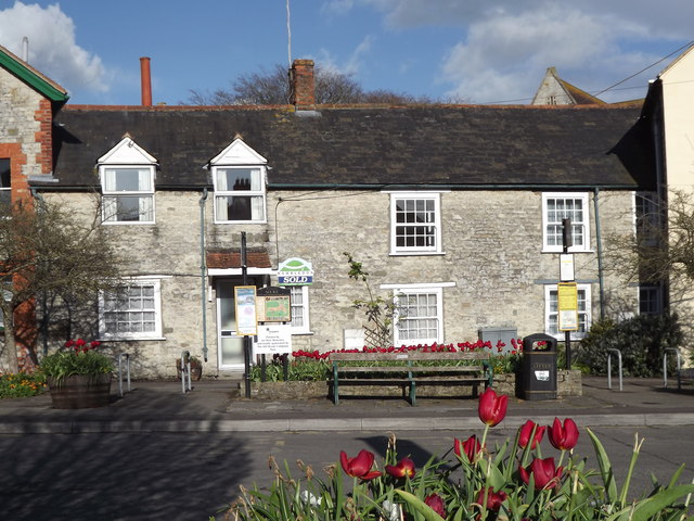
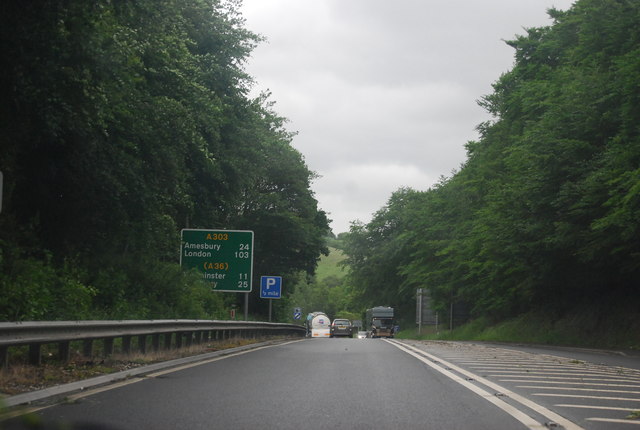
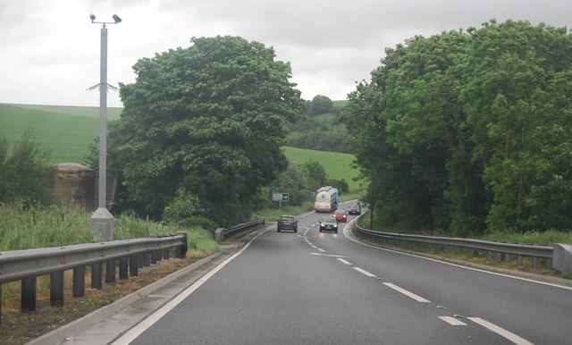
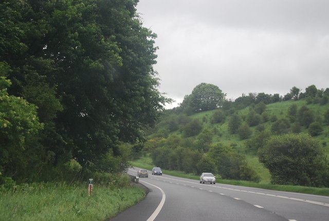
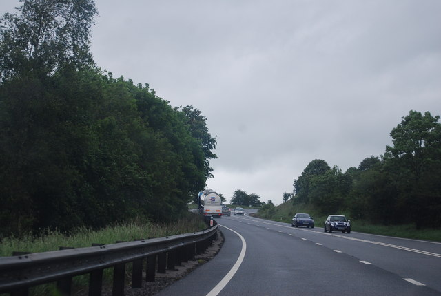
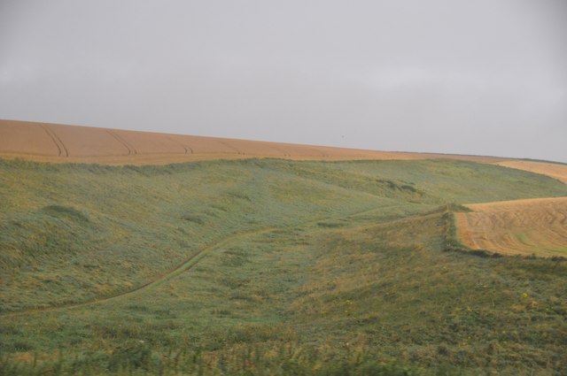
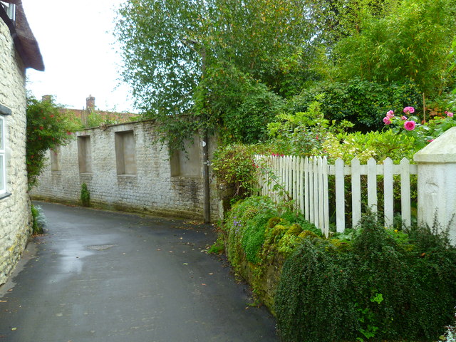
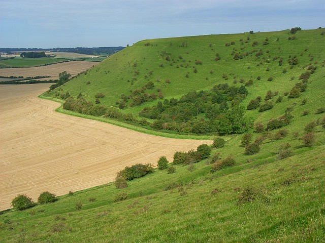
Burton Lane Copse Images

Images are sourced within 2km of 51.090574/-2.2405581 or Grid Reference ST8332. Thanks to Geograph Open Source API. All images are credited.

Mere : Chaddenwick Hill A303 Looking along Chaddenwick Hill.
Mere : Chaddenwick Hill A303
Looking along Chaddenwick Hill.
Mere Croquet Club Formed to make use of open space off Steep Street and preserve it from development when the bowls club moved elsewhere, this small ground accommodates a clubhouse, toilet block and boules as well as croquet.
Mere Croquet Club
Formed to make use of open space off Steep Street and preserve it from development when the bowls club moved elsewhere, this small ground accommodates a clubhouse, toilet block and boules as well as croquet.
The A303 at the foot of Chaddenwick Hill
Dusk Over Dorset The A303 taken at dusk from a layby at the turning to Barrow Street near Mere.
Dusk Over Dorset
The A303 taken at dusk from a layby at the turning to Barrow Street near Mere.
Mere Attractive stone cottages facing The Square in the heart of Mere.
<span class="nowrap"><a title="http://merewilts.org/" rel="nofollow ugc noopener" href="http://merewilts.org/">Link</a><img style="margin-left:2px;" alt="External link" title="External link - shift click to open in new window" src="https://s1.geograph.org.uk/img/external.png" width="10" height="10"/></span>
Mere
Attractive stone cottages facing The Square in the heart of Mere. LinkExternal link
East Hill, Mere Seen from the top of Castle Hill - a landscape of fields, hedgerows and undulating hills.
East Hill, Mere
Seen from the top of Castle Hill - a landscape of fields, hedgerows and undulating hills.
Mere, clock tower In The Square, dated 1868. According to a plaque, a once adjacent building was used by the Dorset poet William Barnes as schoolhouse. Listed by English Heritage: <span class="nowrap"><a title="http://www.imagesofengland.org.uk/Details/Default.aspx?id=320205&mode=adv" rel="nofollow ugc noopener" href="http://www.imagesofengland.org.uk/Details/Default.aspx?id=320205&mode=adv">Link</a><img style="margin-left:2px;" alt="External link" title="External link - shift click to open in new window" src="https://s1.geograph.org.uk/img/external.png" width="10" height="10"/></span>
Mere, clock tower
In The Square, dated 1868. According to a plaque, a once adjacent building was used by the Dorset poet William Barnes as schoolhouse. Listed by English Heritage: LinkExternal link
Mere, convenience store The Co-operative, on The Square; according to a plaque, once Queen Victoria Hall, 1899.
Mere, convenience store
The Co-operative, on The Square; according to a plaque, once Queen Victoria Hall, 1899.
Mere Post Office Post office and store on The Square.
Mere Post Office
Post office and store on The Square.
A303, east of Mere The A303 is a main trunk road running 92 miles between Basingstoke and Honiton. Along with the A30 and M3 it forms a major route between London and the South West. Much of the road is dual carriageway, but some stretches remain single and prone to congestion.

Wikipedia: <span class="nowrap"><a title="http://en.wikipedia.org/wiki/A303_road" rel="nofollow ugc noopener" href="http://en.wikipedia.org/wiki/A303_road">Link</a><img style="margin-left:2px;" alt="External link" title="External link - shift click to open in new window" src="https://s1.geograph.org.uk/img/external.png" width="10" height="10"/></span>
A303, east of Mere
The A303 is a main trunk road running 92 miles between Basingstoke and Honiton. Along with the A30 and M3 it forms a major route between London and the South West. Much of the road is dual carriageway, but some stretches remain single and prone to congestion. Wikipedia: LinkExternal link
A303 near Pinching Pierce Barn The A303 is a main trunk road running 92 miles between Basingstoke and Honiton. Along with the A30 and M3 it forms a major route between London and the South West. Much of the road is dual carriageway, but some stretches remain single and prone to congestion.

Wikipedia: <span class="nowrap"><a title="http://en.wikipedia.org/wiki/A303_road" rel="nofollow ugc noopener" href="http://en.wikipedia.org/wiki/A303_road">Link</a><img style="margin-left:2px;" alt="External link" title="External link - shift click to open in new window" src="https://s1.geograph.org.uk/img/external.png" width="10" height="10"/></span>
A303 near Pinching Pierce Barn
The A303 is a main trunk road running 92 miles between Basingstoke and Honiton. Along with the A30 and M3 it forms a major route between London and the South West. Much of the road is dual carriageway, but some stretches remain single and prone to congestion. Wikipedia: LinkExternal link
A303 west of Chaddenwick Hill The A303 is a main trunk road running 92 miles between Basingstoke and Honiton. Along with the A30 and M3 it forms a major route between London and the South West. Much of the road is dual carriageway, but some stretches remain single and prone to congestion.

Wikipedia: <span class="nowrap"><a title="http://en.wikipedia.org/wiki/A303_road" rel="nofollow ugc noopener" href="http://en.wikipedia.org/wiki/A303_road">Link</a><img style="margin-left:2px;" alt="External link" title="External link - shift click to open in new window" src="https://s1.geograph.org.uk/img/external.png" width="10" height="10"/></span>
A303 west of Chaddenwick Hill
The A303 is a main trunk road running 92 miles between Basingstoke and Honiton. Along with the A30 and M3 it forms a major route between London and the South West. Much of the road is dual carriageway, but some stretches remain single and prone to congestion. Wikipedia: LinkExternal link
A303, Chaddenwick Hill One of the steepest hills on the A303, climbing Charnage Down.
A303, Chaddenwick Hill
One of the steepest hills on the A303, climbing Charnage Down.
Chaddenwick Hill, A303 One of the steepest hills on the A303, climbing Charnage Down.
Chaddenwick Hill, A303
One of the steepest hills on the A303, climbing Charnage Down.
Salisbury District : The A303 The A303 near Mere in Wiltshire.
Salisbury District : The A303
The A303 near Mere in Wiltshire.
Salisbury District : Grassy Countryside & Hillsides The grassy countryside and hills by the A303 in Wiltshire.
Salisbury District : Grassy Countryside & Hillsides
The grassy countryside and hills by the A303 in Wiltshire.
The Orange Way in Wiltshire (27)
The Orange Way in Wiltshire (28)
Show me another place!

Burton Lane Copse is located at Grid Ref: ST8332 (Lat: 51.090574, Lng: -2.2405581)

Unitary Authority: Wiltshire

Police Authority: Wiltshire

What 3 Words

///slopes.display.fingernails. Near Mere, Wiltshire

Related Wikis

Have you been to Burton Lane Copse?

Leave your review of Burton Lane Copse below (or comments, questions and feedback).