The Belt
Wood, Forest in Gloucestershire Cotswold
England
The Belt
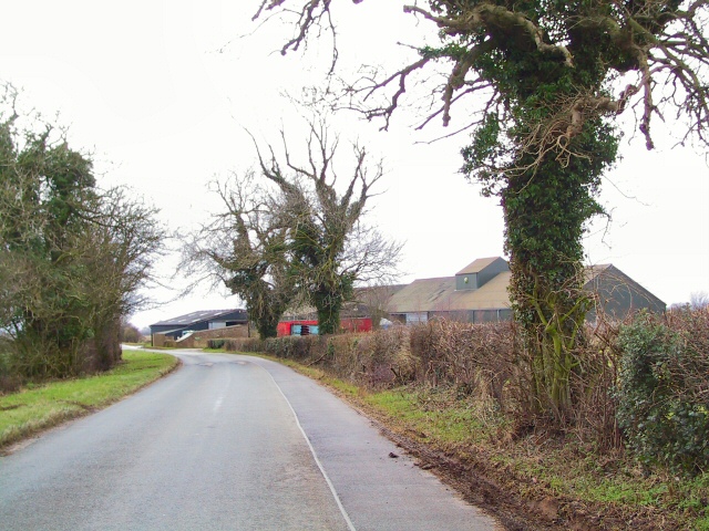
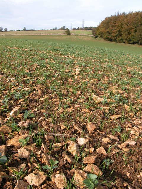
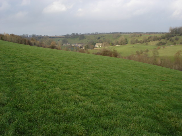
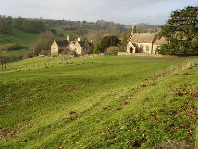
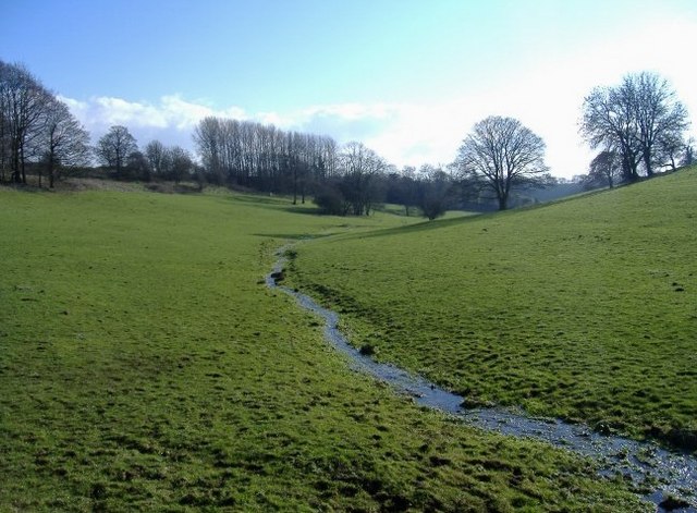
The Belt is a picturesque woodland area located in Gloucestershire, England. Spread across a vast expanse, it is a popular destination for nature enthusiasts and those seeking tranquility away from the hustle and bustle of city life. The woodland is known for its dense and diverse collection of trees, including oak, beech, and birch, which create a stunning canopy overhead.
The Belt is home to a wide range of wildlife, making it a haven for animal lovers and birdwatchers. Visitors may spot deer, foxes, and numerous species of birds as they explore the winding paths that weave through the forest. The area is particularly enchanting during spring, when the forest floor is carpeted with vibrant wildflowers, adding bursts of color to the serene surroundings.
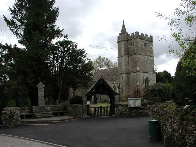
Aside from its natural beauty, The Belt also holds historical significance. It is believed to have been a part of the ancient Forest of Dean, which served as a hunting ground for British royalty centuries ago. Evidence of this rich history can still be found within the woodland, such as remnants of old hunting lodges and stone structures.
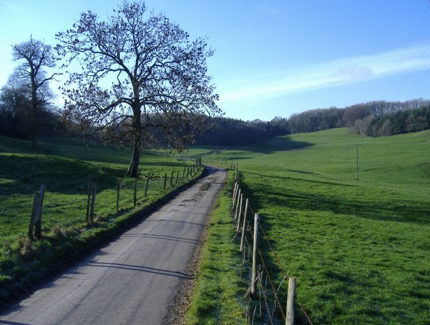
The Belt offers a variety of recreational activities for visitors to enjoy. There are designated picnic areas and benches, perfect for a leisurely lunch amidst the tranquil surroundings. The woodland also features several well-maintained trails, suitable for both walkers and cyclists, allowing visitors to explore the area at their own pace.
Overall, The Belt in Gloucestershire is a natural gem, offering a peaceful retreat where visitors can immerse themselves in the beauty of the woodlands, observe wildlife, and connect with nature.
If you have any feedback on the listing, please let us know in the comments section below.
The Belt Images
Images are sourced within 2km of 51.660119/-2.2434783 or Grid Reference ST8395. Thanks to Geograph Open Source API. All images are credited.


The Belt is located at Grid Ref: ST8395 (Lat: 51.660119, Lng: -2.2434783)
Administrative County: Gloucestershire
District: Cotswold
Police Authority: Gloucestershire
What 3 Words
///punctual.cycle.regularly. Near Nailsworth, Gloucestershire
Nearby Locations
Related Wikis

Calcot Manor
Calcot Manor is a historic building in Calcot, three and a half miles west of Tetbury on A 4135 in Gloucestershire, England, near the junction of roads...

Kingscote and Horsley Woods
Kingscote and Horsley Woods (grid reference ST831971) is a 43.79-hectare (108.2-acre) biological Site of Special Scientific Interest in Gloucestershire...

RAF Babdown Farm
Royal Air Force Babdown Farm or more simply RAF Babdown Farm is a former Royal Air Force relief landing ground located 2.9 miles (4.7 km) west of Tetbury...

Kingscote, Gloucestershire
Kingscote is a village and civil parish in the Cotswold district of Gloucestershire, England, set on the uplands near the south western edge of the Cotswold...
Kingscote Park, Gloucestershire
Kingscote Park (formerly Kingscote Cottage) is a Grade II listed house and country estate in Kingscote, near Tetbury, Gloucestershire, England. The original...

Lasborough
Lasborough is a settlement in Gloucestershire, England, part of the Westonbirt with Lasborough civil parish. Lasborough lies to the west of the A46, about...

Bagpath
Bagpath is a hamlet in Gloucestershire, England, in the Ozleworth valley south of the village of Kingscote and forming part of Kingscote civil parish....
Horsley Priory
Horsley Priory was a medieval, monastic house in Gloucestershire, England. Goda owned an estate at Horsley, in 1066. It was granted to Troarn Abbey by...
Nearby Amenities
Located within 500m of 51.660119,-2.2434783Have you been to The Belt?
Leave your review of The Belt below (or comments, questions and feedback).