Hazel Copse

Wood, Forest in Dorset

England

Hazel Copse

Trailway towards Shillingstone Between Sturminster Newton and Shillingstone, which were the stations at either end of this section of old railway line. The route is now a pleasant and useful cycleway.
Trailway towards Shillingstone Credit: Des Blenkinsopp

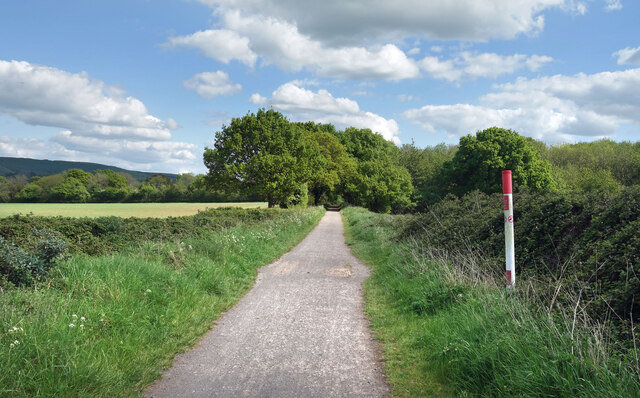
Hazel Copse is a charming woodland located in the county of Dorset, England. Stretching over an area of approximately 50 acres, this forested land is known for its abundant hazel trees, which give the copse its name.

Situated in the heart of the picturesque Dorset countryside, Hazel Copse offers visitors a tranquil and peaceful escape from the hustle and bustle of everyday life. The woodland is a haven for nature lovers and wildlife enthusiasts, providing a habitat for a diverse range of flora and fauna. The hazel trees, with their distinctive heart-shaped leaves and clusters of nuts, dominate the landscape, creating a dense and enchanting canopy overhead.

Walking through Hazel Copse, one can expect to encounter a variety of wildlife. The copse is home to numerous bird species, including woodpeckers, thrushes, and owls, which can be heard singing their melodic tunes throughout the day. Squirrels can be observed darting between the hazel trees, collecting nuts and scampering along the forest floor.

For those seeking a peaceful retreat in nature, Hazel Copse offers numerous walking trails and footpaths that wind through the woodland, allowing visitors to fully immerse themselves in the natural beauty of the area. The copse is a popular destination for hikers and nature enthusiasts, who can explore its hidden corners and discover its hidden gems.

Overall, Hazel Copse in Dorset is a magical woodland that showcases the beauty of nature and provides a serene environment for visitors to unwind and connect with the natural world.

If you have any feedback on the listing, please let us know in the comments section below.
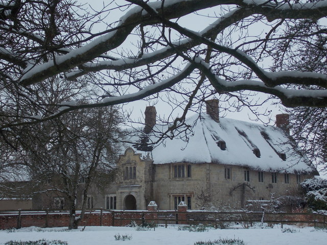
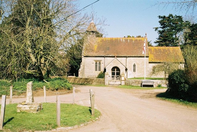
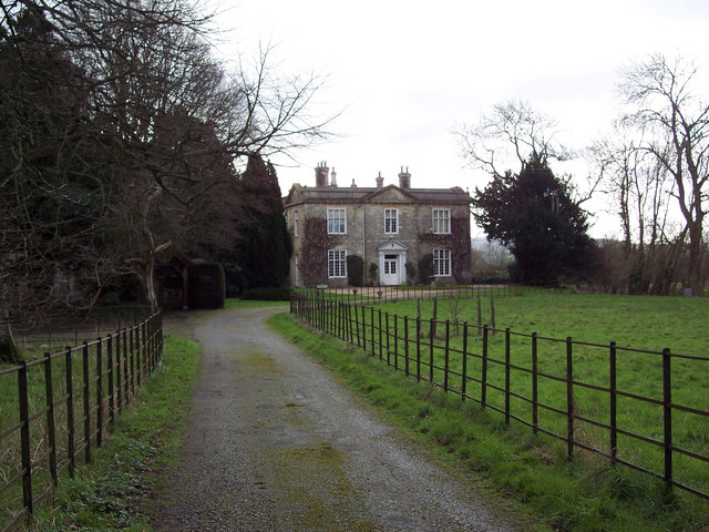
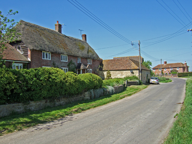
Hazel Copse Images

Images are sourced within 2km of 50.927699/-2.2397446 or Grid Reference ST8314. Thanks to Geograph Open Source API. All images are credited.

Trailway towards Shillingstone Between Sturminster Newton and Shillingstone, which were the stations at either end of this section of old railway line. The route is now a pleasant and useful cycleway.
Trailway towards Shillingstone
Between Sturminster Newton and Shillingstone, which were the stations at either end of this section of old railway line. The route is now a pleasant and useful cycleway.
The Stour Valley and Hambledon Hill A view from the Stour Valley near Hamoon towards Hambledon Hill which is about 3 miles away.
The Stour Valley and Hambledon Hill
A view from the Stour Valley near Hamoon towards Hambledon Hill which is about 3 miles away.
Hamoon Manor Hamoon Manor rather distorted because of the wide angle lens.
Hamoon Manor
Hamoon Manor rather distorted because of the wide angle lens.
Phone Box, Hamoon The notice fixed to the side of this, rather sad looking phone box, is dated 14th October 2016 and says that due to under-use, it will be permanently removed in 42 days.
Phone Box, Hamoon
The notice fixed to the side of this, rather sad looking phone box, is dated 14th October 2016 and says that due to under-use, it will be permanently removed in 42 days.
Church of St Nicholas, Manston Set within the grounds of Manston House, the church is open to the public.
Church of St Nicholas, Manston
Set within the grounds of Manston House, the church is open to the public.
St Paul's Church, Hammoon There is an Ordnance Survey benchmark on this church. See <a href="https://www.geograph.org.uk/photo/5196602">ST8114 : Benchmark on St Paul's Church, Hammoon</a>.
St Paul's Church, Hammoon
There is an Ordnance Survey benchmark on this church. See ST8114 : Benchmark on St Paul's Church, Hammoon.
Benchmark on St Paul's Church, Hammoon Ordnance Survey benchmark, described on database at <span class="nowrap"><a title="http://www.bench-marks.org.uk/bm80311" rel="nofollow ugc noopener" href="http://www.bench-marks.org.uk/bm80311">Link</a><img style="margin-left:2px;" alt="External link" title="External link - shift click to open in new window" src="https://s1.geograph.org.uk/img/external.png" width="10" height="10"/></span>. See also <a href="https://www.geograph.org.uk/photo/5192164">ST8114 : St Paul's Church, Hammoon</a>.
Benchmark on St Paul's Church, Hammoon
Ordnance Survey benchmark, described on database at LinkExternal link. See also ST8114 : St Paul's Church, Hammoon.
River Stour near Hammoon With Hambledon Hill fort in the background.
River Stour near Hammoon
With Hambledon Hill fort in the background.
Walkers at Child Okeford Cross
Hambledon Hill Fort This is an area of chalk downland, ideal for chalk-loving butterflies such as the Adonis Blue and Chalkhill Blue.
Hambledon Hill Fort
This is an area of chalk downland, ideal for chalk-loving butterflies such as the Adonis Blue and Chalkhill Blue.
River Stour near Child Okeford
Hammoon: the manor house from the main road Under snow, it is not immediately obvious that the manor house is thatched: <a href="https://www.geograph.org.uk/photo/451885">ST8114 : Hammoon: thatched manor house</a>.

I use the phrase 'main road' in the title in the context of this tiny village, meaning the through road rather than the little lane that leads from the church to the manor.
Hammoon: the manor house from the main road
Under snow, it is not immediately obvious that the manor house is thatched: ST8114 : Hammoon: thatched manor house. I use the phrase 'main road' in the title in the context of this tiny village, meaning the through road rather than the little lane that leads from the church to the manor.
Hammoon: along the Stour towards Hambledon Hill Looking downstream along the River Stour, with the snowy slopes of Hambledon Hill only just distinguishable from the leaden sky this wintry afternoon.
Hammoon: along the Stour towards Hambledon Hill
Looking downstream along the River Stour, with the snowy slopes of Hambledon Hill only just distinguishable from the leaden sky this wintry afternoon.
Hammoon: the church in snow A wintry view of the <a href="https://www.geograph.org.uk/photo/506486">ST8114 : Hammoon: parish church of St. Paul</a>, from just outside the gate.
Hammoon: the church in snow
A wintry view of the ST8114 : Hammoon: parish church of St. Paul, from just outside the gate.
Old Central Cross - moved to Child Okeford The Cross, old base with a new cross by the UC road, in parish of Child Okeford (North Dorset District), village centre within war memorial.

Grade II listed. List Entry Number: 1110262
<span class="nowrap"><a title="https://historicengland.org.uk/listing/the-list/list-entry/1110262" rel="nofollow ugc noopener" href="https://historicengland.org.uk/listing/the-list/list-entry/1110262">Link</a><img style="margin-left:2px;" alt="External link" title="External link - shift click to open in new window" src="https://s1.geograph.org.uk/img/external.png" width="10" height="10"/></span>

Surveyed

Milestone Society National ID: DOND_CHI.
Old Central Cross - moved to Child Okeford
The Cross, old base with a new cross by the UC road, in parish of Child Okeford (North Dorset District), village centre within war memorial. Grade II listed. List Entry Number: 1110262 LinkExternal link Surveyed Milestone Society National ID: DOND_CHI.
Old Direction Sign - Signpost by Shroton Brake, Iwerne Courtney or Shroton parish Annulus and bar finial - 4 arms; Dorset halo with NGR by the UC road, in Iwerne Courtney or Shroton parish (North Dorset District), on the east side of the crossroads at Shroton Brake northeast of Child Okeford.

Surveyed

Milestone Society National ID: DO_ST8413
Old Direction Sign - Signpost by Shroton Brake, Iwerne Courtney or Shroton parish
Annulus and bar finial - 4 arms; Dorset halo with NGR by the UC road, in Iwerne Courtney or Shroton parish (North Dorset District), on the east side of the crossroads at Shroton Brake northeast of Child Okeford. Surveyed Milestone Society National ID: DO_ST8413
Old Direction Sign - Signpost by High Street, Child Okeford parish No finial - 1 arm; Dorset wooden by the UC road, in parish of Child Okeford (North Dorset District), Child Okeford, High Street, T-junction with Duck Street and Station Road to Shillingstone, against wall, East side of road.

Surveyed

Milestone Society National ID: DO_ST8312B
Old Direction Sign - Signpost by High Street, Child Okeford parish
No finial - 1 arm; Dorset wooden by the UC road, in parish of Child Okeford (North Dorset District), Child Okeford, High Street, T-junction with Duck Street and Station Road to Shillingstone, against wall, East side of road. Surveyed Milestone Society National ID: DO_ST8312B
Old Direction Sign - Signpost by Pegg's Lane, Iwerne Minster parish Annulus and bar finial - 3 arms; Dorset halo with NGR by the UC road, in parish of Iwerne Minster (North Dorset District), Farrington, Pegg's Mill, T-junction with UC road to Sutton Waldron.

Surveyed

Milestone Society National ID: DO_ST8415
Old Direction Sign - Signpost by Pegg's Lane, Iwerne Minster parish
Annulus and bar finial - 3 arms; Dorset halo with NGR by the UC road, in parish of Iwerne Minster (North Dorset District), Farrington, Pegg's Mill, T-junction with UC road to Sutton Waldron. Surveyed Milestone Society National ID: DO_ST8415
Show me another place!

Hazel Copse is located at Grid Ref: ST8314 (Lat: 50.927699, Lng: -2.2397446)

Unitary Authority: Dorset

Police Authority: Dorset

What 3 Words

///layers.seducing.tastes. Near Child Okeford, Dorset

Related Wikis

Hammoon

Hammoon is a small village and civil parish in the English county of Dorset, sited on a river terrace of alluvial silt by the River Stour, about two miles...

Child Okeford

Child Okeford (sometimes written Childe Okeford) is a village and civil parish in the county of Dorset in southern England, 3 miles (5 kilometres) east...
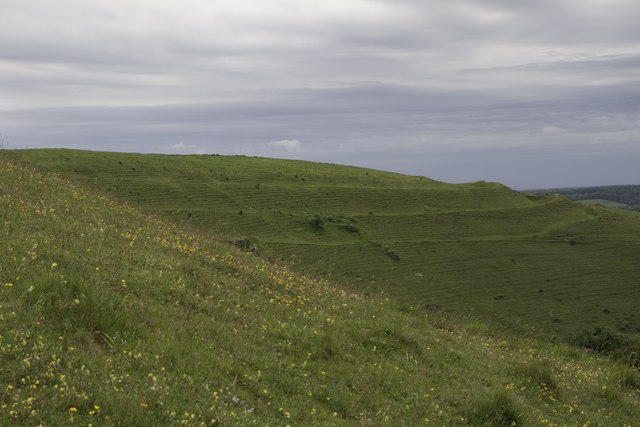
Hambledon Hill

Hambledon Hill is a prehistoric hill fort in Dorset, England, in the Blackmore Vale five miles northwest of Blandford Forum. The hill itself is a chalk...

Manston, Dorset

Manston is a small village and civil parish in the county of Dorset in southern England, lying next to the River Stour in the Blackmore Vale, two miles...

St Luke's Church, West Orchard

St Luke's Church is a Church of England church in West Orchard, Dorset, England. Most of the church dates to a rebuild of 1876–77 to the designs of Thomas...

West Orchard

West Orchard is a small village and civil parish in the county of Dorset in southern England. It is situated in the Blackmore Vale in the North Dorset...

Shillingstone railway station

Shillingstone railway station was a station on the Somerset and Dorset Joint Railway (S&DJR), serving the village of Shillingstone in the English county...

North Dorset Railway

North Dorset Railway (previously known as the Shillingstone Station Project, the North Dorset Railway Trust and the Shillingstone Railway Project) is a...

Nearby Amenities

Located within 500m of 50.927699,-2.2397446
Material: wood
Power: pole
Source: bing
Lat/Long: 50.9290816/-2.2363178
Material: wood
Power: pole
Source: bing
Lat/Long: 50.9293561/-2.2341197
Material: wood
Power: pole
Source: bing
Lat/Long: 50.9298164/-2.2376146
Material: wood
Power: pole
Source: bing
Lat/Long: 50.9305486/-2.2389253
Material: wood
Power: pole
Source: bing
Lat/Long: 50.9309506/-2.2387606
Material: wood
Power: pole
Source: bing
Lat/Long: 50.9310803/-2.2407913
Material: wood
Power: pole
Source: bing
Lat/Long: 50.9316062/-2.2380217
The data included in this document is from www.openstreetmap.org. The data is made available under ODbL.

Have you been to Hazel Copse?

Leave your review of Hazel Copse below (or comments, questions and feedback).