East Hill

Hill, Mountain in Wiltshire

England

East Hill

Charnage Down Looking across a dry chalk combe from the A303.
Charnage Down Credit: Derek Harper

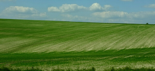
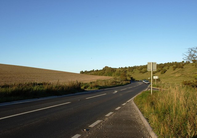
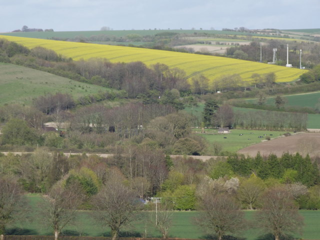
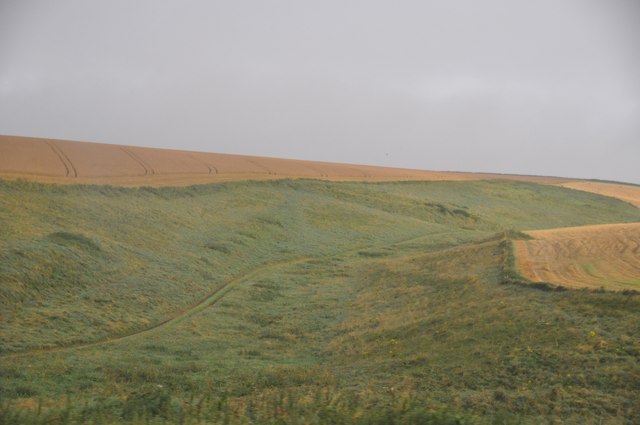
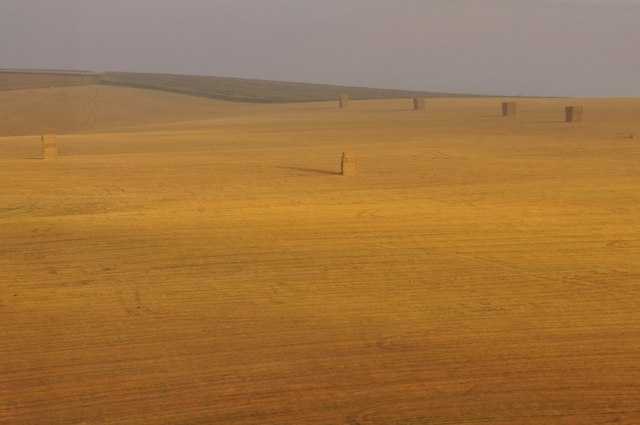
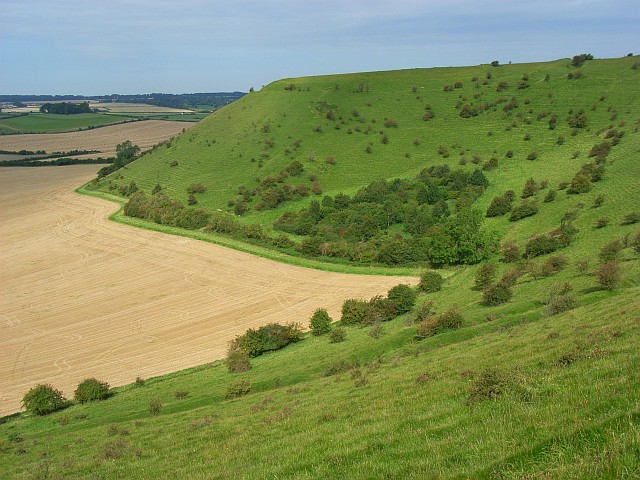
East Hill is a prominent hill located in the county of Wiltshire, England. Rising to an elevation of 281 meters (922 feet), it is part of the wider Marlborough Downs area, which is known for its rolling hills and picturesque landscapes. East Hill is situated near the village of Oare, to the east of Pewsey.

The hill offers stunning panoramic views of the surrounding countryside, including the Vale of Pewsey and the nearby Alton Barnes White Horse, a chalk figure carved into the hillside. The area is rich in archaeological history, with several ancient burial mounds and barrows scattered across the hill.

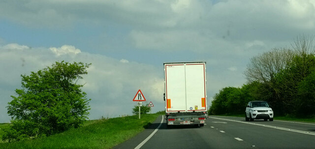
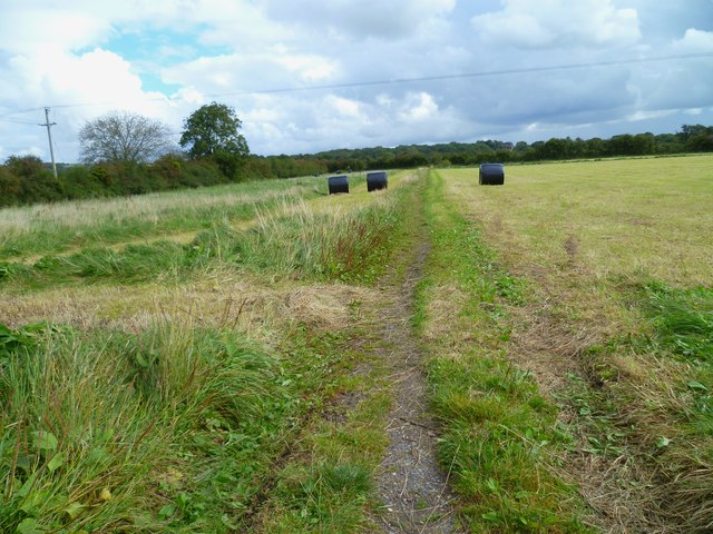
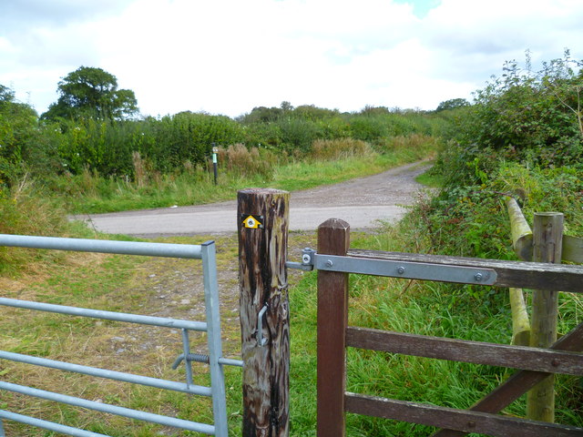
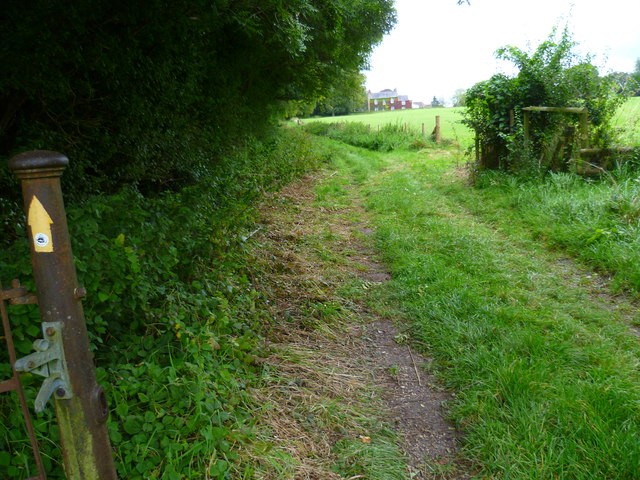
East Hill is a popular destination for outdoor enthusiasts and nature lovers. It is crisscrossed by a network of footpaths and bridleways, making it ideal for walkers, hikers, and horse riders. The hill is also home to a diverse range of flora and fauna, including wildflowers, birds, and butterflies.

One notable feature of East Hill is its connection to the ancient Ridgeway, a prehistoric track that stretches over 85 miles (137 kilometers) across southern England. The Ridgeway passes along the northern slope of East Hill, adding to the historical significance of the area.

Overall, East Hill in Wiltshire offers a tranquil and scenic setting for outdoor activities, with its natural beauty and historical heritage making it a must-visit destination for visitors and locals alike.

If you have any feedback on the listing, please let us know in the comments section below.
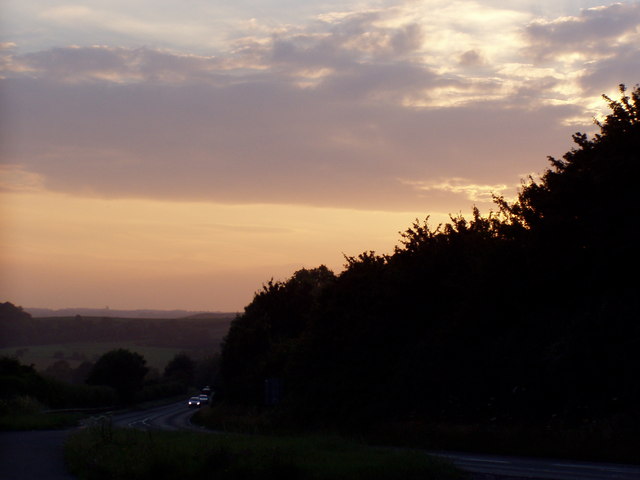
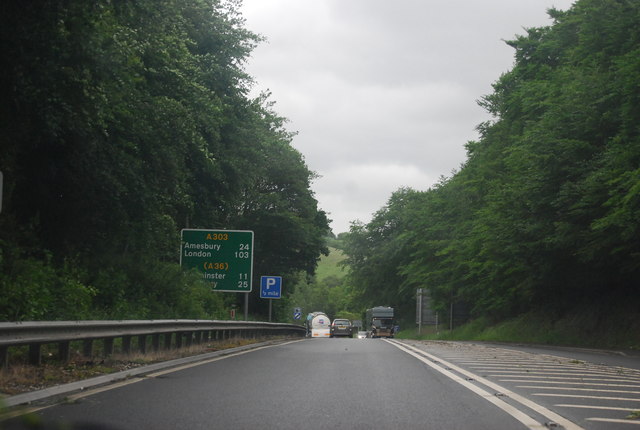
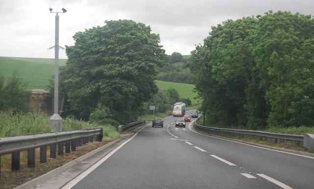
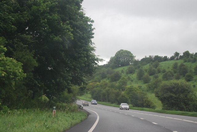
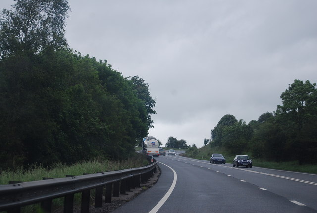
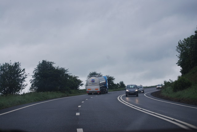
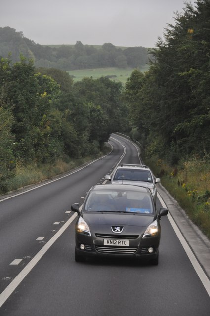
East Hill Images

Images are sourced within 2km of 51.095397/-2.2343571 or Grid Reference ST8332. Thanks to Geograph Open Source API. All images are credited.

Charnage Down Looking across a dry chalk combe from the A303.
Charnage Down
Looking across a dry chalk combe from the A303.
Chaddenwick Hill By which the A303 climbs onto the chalk.
Chaddenwick Hill
By which the A303 climbs onto the chalk.
Mere : Chaddenwick Hill A303 Looking along Chaddenwick Hill.
Mere : Chaddenwick Hill A303
Looking along Chaddenwick Hill.
The A303 at the foot of Chaddenwick Hill
Dusk Over Dorset The A303 taken at dusk from a layby at the turning to Barrow Street near Mere.
Dusk Over Dorset
The A303 taken at dusk from a layby at the turning to Barrow Street near Mere.
East Hill, Mere Seen from the top of Castle Hill - a landscape of fields, hedgerows and undulating hills.
East Hill, Mere
Seen from the top of Castle Hill - a landscape of fields, hedgerows and undulating hills.
A303, east of Mere The A303 is a main trunk road running 92 miles between Basingstoke and Honiton. Along with the A30 and M3 it forms a major route between London and the South West. Much of the road is dual carriageway, but some stretches remain single and prone to congestion.

Wikipedia: <span class="nowrap"><a title="http://en.wikipedia.org/wiki/A303_road" rel="nofollow ugc noopener" href="http://en.wikipedia.org/wiki/A303_road">Link</a><img style="margin-left:2px;" alt="External link" title="External link - shift click to open in new window" src="https://s1.geograph.org.uk/img/external.png" width="10" height="10"/></span>
A303, east of Mere
The A303 is a main trunk road running 92 miles between Basingstoke and Honiton. Along with the A30 and M3 it forms a major route between London and the South West. Much of the road is dual carriageway, but some stretches remain single and prone to congestion. Wikipedia: LinkExternal link
A303 near Pinching Pierce Barn The A303 is a main trunk road running 92 miles between Basingstoke and Honiton. Along with the A30 and M3 it forms a major route between London and the South West. Much of the road is dual carriageway, but some stretches remain single and prone to congestion.

Wikipedia: <span class="nowrap"><a title="http://en.wikipedia.org/wiki/A303_road" rel="nofollow ugc noopener" href="http://en.wikipedia.org/wiki/A303_road">Link</a><img style="margin-left:2px;" alt="External link" title="External link - shift click to open in new window" src="https://s1.geograph.org.uk/img/external.png" width="10" height="10"/></span>
A303 near Pinching Pierce Barn
The A303 is a main trunk road running 92 miles between Basingstoke and Honiton. Along with the A30 and M3 it forms a major route between London and the South West. Much of the road is dual carriageway, but some stretches remain single and prone to congestion. Wikipedia: LinkExternal link
A303 west of Chaddenwick Hill The A303 is a main trunk road running 92 miles between Basingstoke and Honiton. Along with the A30 and M3 it forms a major route between London and the South West. Much of the road is dual carriageway, but some stretches remain single and prone to congestion.

Wikipedia: <span class="nowrap"><a title="http://en.wikipedia.org/wiki/A303_road" rel="nofollow ugc noopener" href="http://en.wikipedia.org/wiki/A303_road">Link</a><img style="margin-left:2px;" alt="External link" title="External link - shift click to open in new window" src="https://s1.geograph.org.uk/img/external.png" width="10" height="10"/></span>
A303 west of Chaddenwick Hill
The A303 is a main trunk road running 92 miles between Basingstoke and Honiton. Along with the A30 and M3 it forms a major route between London and the South West. Much of the road is dual carriageway, but some stretches remain single and prone to congestion. Wikipedia: LinkExternal link
A303, Chaddenwick Hill One of the steepest hills on the A303, climbing Charnage Down.
A303, Chaddenwick Hill
One of the steepest hills on the A303, climbing Charnage Down.
Chaddenwick Hill, A303 One of the steepest hills on the A303, climbing Charnage Down.
Chaddenwick Hill, A303
One of the steepest hills on the A303, climbing Charnage Down.
Salisbury District : The A303 The A303 near Mere in Wiltshire.
Salisbury District : The A303
The A303 near Mere in Wiltshire.
Salisbury District : Grassy Countryside & Hillsides The grassy countryside and hills by the A303 in Wiltshire.
Salisbury District : Grassy Countryside & Hillsides
The grassy countryside and hills by the A303 in Wiltshire.
Salisbury District : Grassy Field & Hay Bales Looking towards a grassy field off of the A303 in the former Salisbury District.
Salisbury District : Grassy Field & Hay Bales
Looking towards a grassy field off of the A303 in the former Salisbury District.
The Orange Way in Wiltshire (32) Here's a long straight walk across a flat field.
The Orange Way in Wiltshire (32)
Here's a long straight walk across a flat field.
The Orange Way in Wiltshire (33) The way goes ahead, crossing the lane called Southbrook.
The Orange Way in Wiltshire (33)
The way goes ahead, crossing the lane called Southbrook.
The Orange Way in Wiltshire (34) Chaddenwick Wood is on the left.
The Orange Way in Wiltshire (34)
Chaddenwick Wood is on the left.
The Orange Way in Wiltshire (35) Here the path reaches Pimperleaze Road.
The Orange Way in Wiltshire (35)
Here the path reaches Pimperleaze Road.
Show me another place!

East Hill is located at Grid Ref: ST8332 (Lat: 51.095397, Lng: -2.2343571)

Unitary Authority: Wiltshire

Police Authority: Wiltshire

What 3 Words

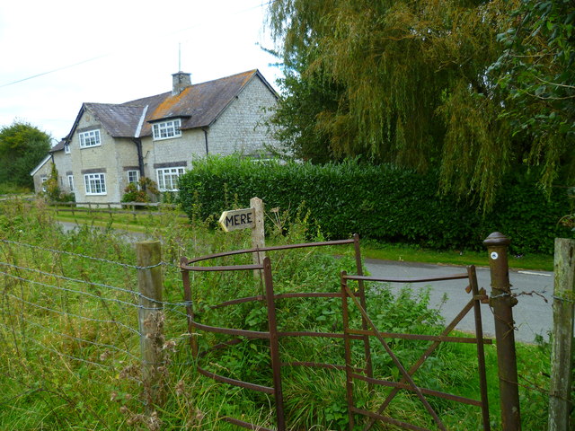
///weaved.expiring.cheetahs. Near Mere, Wiltshire

Related Wikis

Have you been to East Hill?

Leave your review of East Hill below (or comments, questions and feedback).