Carlin Hill
Hill, Mountain in Northumberland
England
Carlin Hill
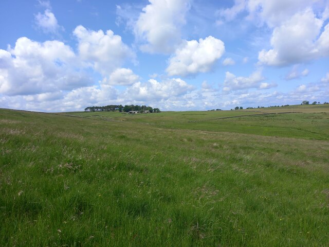
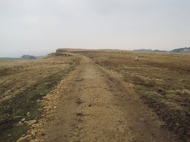
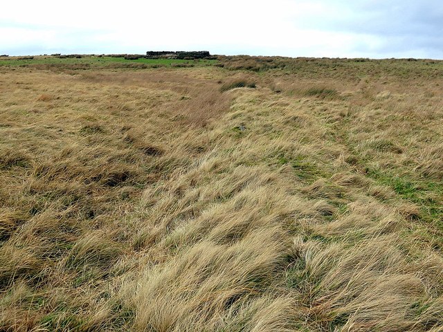
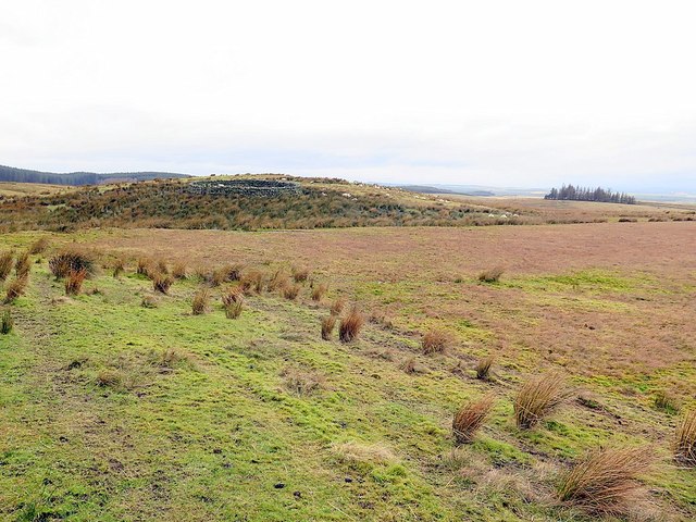
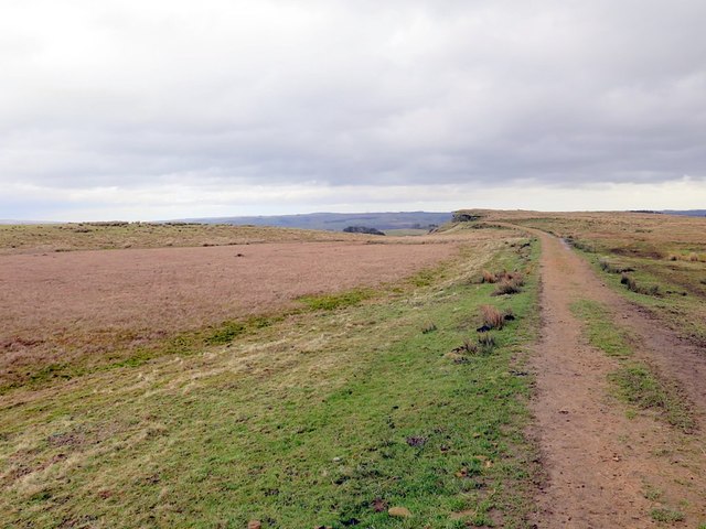
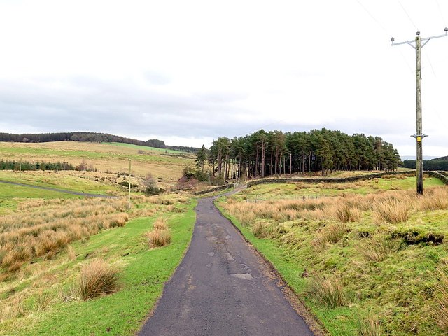
Carlin Hill is a prominent feature located in the county of Northumberland, England. It is a hill that stands at an elevation of 317 meters (1,040 feet) above sea level, offering breathtaking panoramic views of the surrounding landscape. Situated near the village of Tarset in the Northumberland National Park, Carlin Hill is a popular destination for outdoor enthusiasts and nature lovers alike.
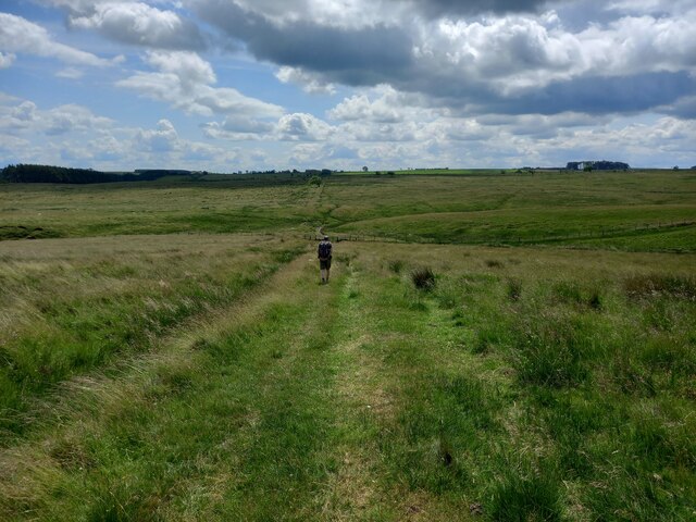
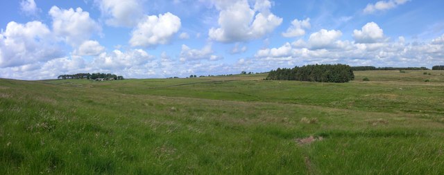
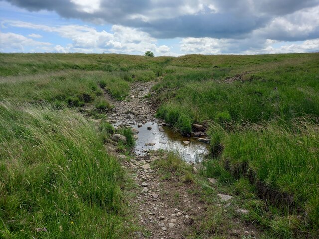
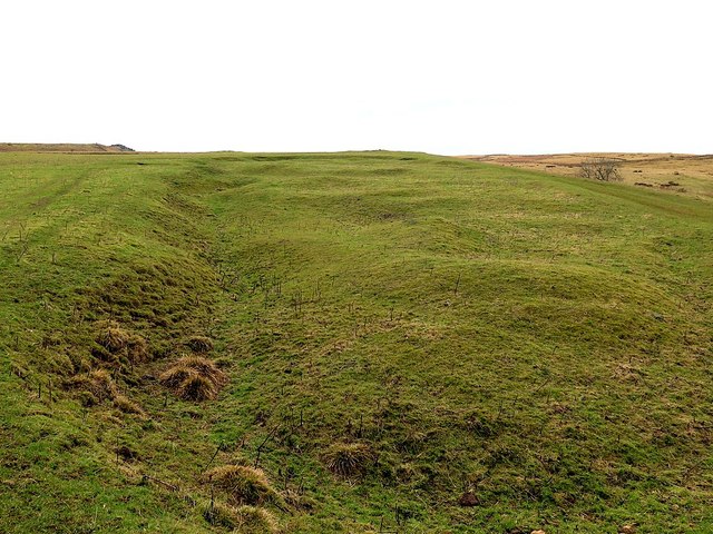
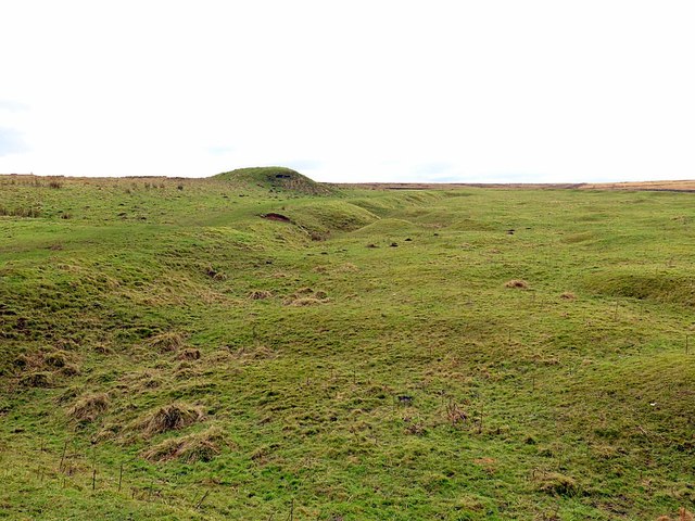
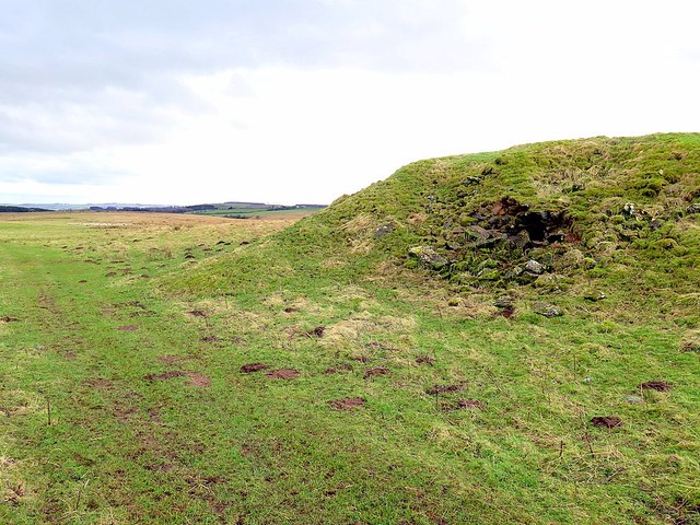
The hill is characterized by its gentle slopes, grassy terrain, and rocky outcrops, making it an ideal location for hiking, walking, and photography. Its summit provides a vantage point from which visitors can admire the picturesque beauty of the Northumberland countryside, with rolling hills, dense woodlands, and meandering rivers stretching out as far as the eye can see.
Carlin Hill is also renowned for its rich historical significance. The name "Carlin" is derived from the Old Norse word for "witch" or "hag," suggesting a connection to local folklore and legends. Additionally, the hill is home to ancient burial mounds, indicating human activity in the area dating back thousands of years.
The hill is easily accessible, with nearby parking facilities and well-marked trails leading to its summit. Visitors can embark on various routes, ranging from leisurely walks to more challenging hikes, catering to all levels of fitness and experience.
Overall, Carlin Hill is a captivating natural landmark in Northumberland, offering a blend of natural beauty, historical intrigue, and outdoor recreational opportunities for visitors to enjoy.
If you have any feedback on the listing, please let us know in the comments section below.
Carlin Hill Images
Images are sourced within 2km of 55.074658/-2.2569256 or Grid Reference NY8375. Thanks to Geograph Open Source API. All images are credited.


Carlin Hill is located at Grid Ref: NY8375 (Lat: 55.074658, Lng: -2.2569256)
Unitary Authority: Northumberland
Police Authority: Northumbria
What 3 Words
///albatross.noses.result. Near Birtley, Northumberland
Nearby Locations
Related Wikis

The Goatstones
The Goatstones is a Bronze-Age four-poster stone circle located near Ravensheugh Crags in Northumberland, England. It is 2.5 miles (4.0 km) to the north...

Wark in Tyndale Castle
Wark in Tyndale Castle was a medieval building in the English county of Northumberland (grid reference NY861768). It was first mentioned in 1399–1400,...

Wark Town Hall
Wark Town Hall is a municipal building on The Green in Wark on Tyne, Northumberland, England. The building, which is used as a community events venue,...

Wark on Tyne
Wark on Tyne is a small village and civil parish in Northumberland, England, 12 miles (19 km) north of Hexham. == History == The name is derived from the...

Greenhaugh
Greenhaugh is a small village in Northumberland, England. It is located northwest of Bellingham and borders the Northumberland National Park. It is in...

Wark railway station
Wark railway station is a disused railway station which served the village of Wark on Tyne, Northumberland, England. Located on the Border Counties Railway...
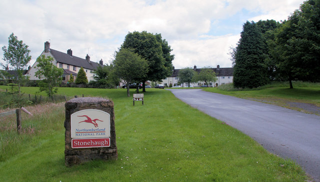
Stonehaugh
Stonehaugh is a small settlement in Northumberland about 5 miles (8 km) west of Wark on Tyne and 4 Roman miles (6 km) north of Hadrian's Wall. It was purpose...

Simonburn
Simonburn is a small human settlement in Northumberland, England. == Early history == Simonburn lies to the north of Hadrian's Wall, the most noted Roman...
Nearby Amenities
Located within 500m of 55.074658,-2.2569256Have you been to Carlin Hill?
Leave your review of Carlin Hill below (or comments, questions and feedback).