Newtonrigg Strip
Wood, Forest in Northumberland
England
Newtonrigg Strip
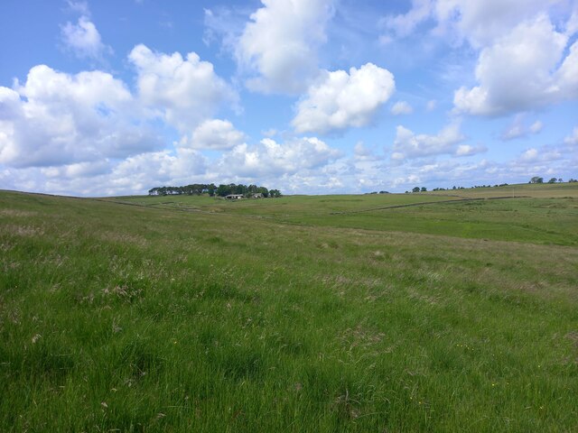
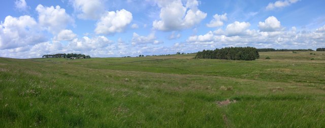
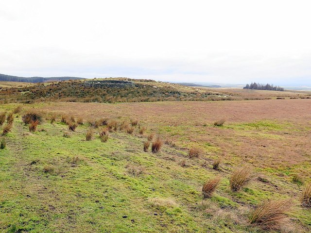
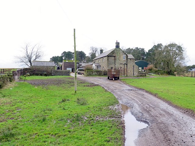
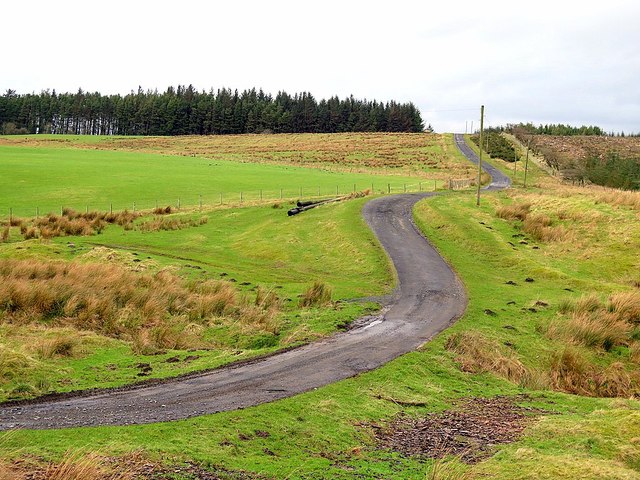
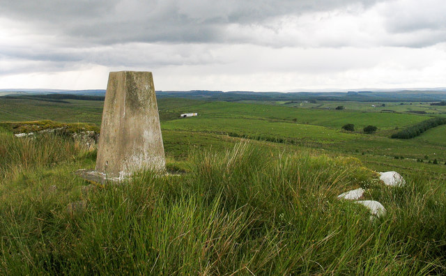
Newtonrigg Strip is a picturesque woodland located in the county of Northumberland, England. Spanning over a vast area, it is often referred to as a forest due to its dense collection of trees and lush greenery. The strip is situated in the Newtonrigg area, which is known for its natural beauty and tranquility.
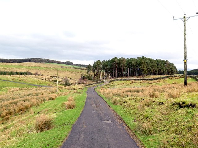
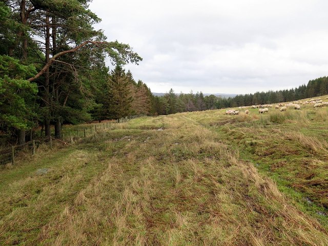
The woodland consists mainly of deciduous trees, including oak, beech, and birch, which create a stunning display of colors during the autumn months. The forest floor is covered with a variety of wildflowers and ferns, adding to the overall charm and diversity of the area. The thick canopy formed by the tall trees provides shade and shelter for a range of wildlife, including birds, squirrels, and deer.
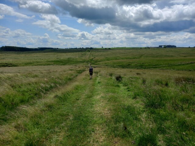
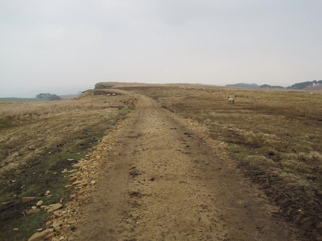
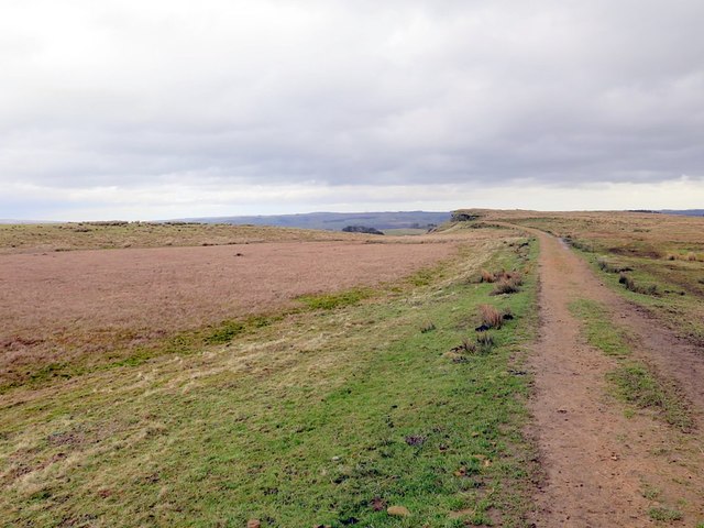
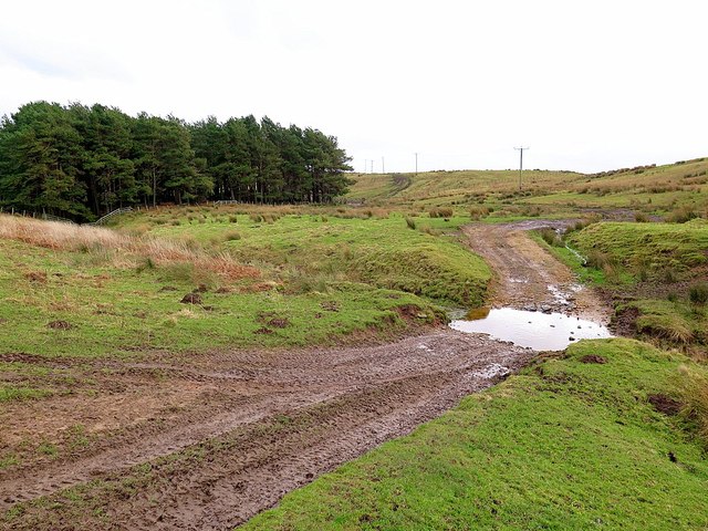
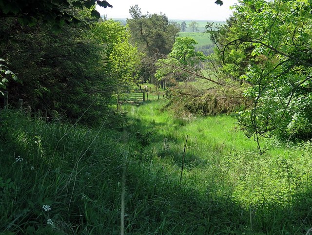
Nature enthusiasts and hikers frequent Newtonrigg Strip to explore its numerous walking trails and pathways. The well-maintained footpaths offer visitors the opportunity to immerse themselves in the peaceful surroundings and observe the abundance of flora and fauna. The strip is also home to a small stream that meanders through the woodland, enhancing the serene atmosphere.
The woodland is managed by the local authorities to preserve its natural beauty and protect its inhabitants. Conservation efforts are in place to maintain the delicate ecosystem and ensure the sustainability of the area for future generations to enjoy.
Overall, Newtonrigg Strip in Northumberland is a natural haven, providing a haven for wildlife and a tranquil escape for visitors seeking respite in the beauty of nature.
If you have any feedback on the listing, please let us know in the comments section below.
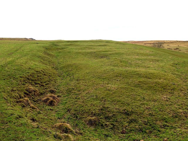
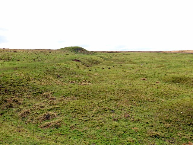
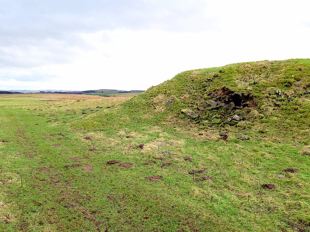
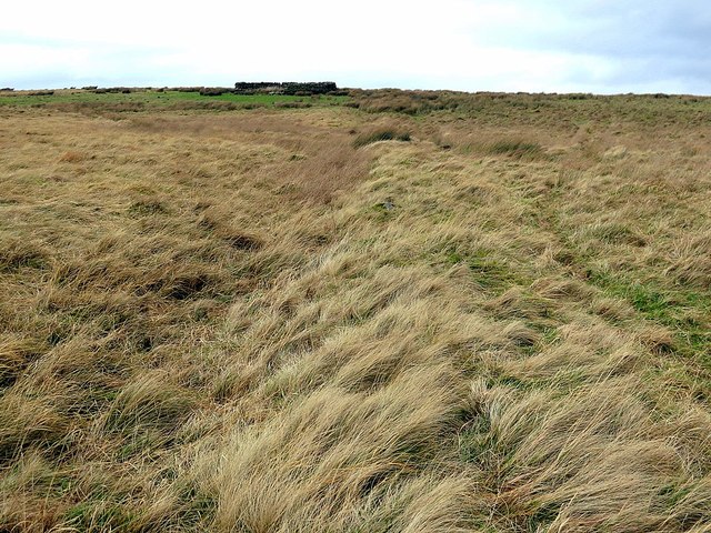
Newtonrigg Strip Images
Images are sourced within 2km of 55.075425/-2.2553957 or Grid Reference NY8375. Thanks to Geograph Open Source API. All images are credited.
Newtonrigg Strip is located at Grid Ref: NY8375 (Lat: 55.075425, Lng: -2.2553957)
Unitary Authority: Northumberland
Police Authority: Northumbria
What 3 Words
///firelight.season.pounding. Near Birtley, Northumberland
Nearby Locations
Related Wikis

The Goatstones
The Goatstones is a Bronze-Age four-poster stone circle located near Ravensheugh Crags in Northumberland, England. It is 2.5 miles (4.0 km) to the north...

Wark in Tyndale Castle
Wark in Tyndale Castle was a medieval building in the English county of Northumberland (grid reference NY861768). It was first mentioned in 1399–1400,...

Wark Town Hall
Wark Town Hall is a municipal building on The Green in Wark on Tyne, Northumberland, England. The building, which is used as a community events venue,...

Wark on Tyne
Wark on Tyne is a small village and civil parish in Northumberland, England, 12 miles (19 km) north of Hexham. == History == The name is derived from the...

Wark railway station
Wark railway station is a disused railway station which served the village of Wark on Tyne, Northumberland, England. Located on the Border Counties Railway...

Greenhaugh
Greenhaugh is a small village in Northumberland, England. It is located northwest of Bellingham and borders the Northumberland National Park. It is in...

Simonburn
Simonburn is a small human settlement in Northumberland, England. == Early history == Simonburn lies to the north of Hadrian's Wall, the most noted Roman...
Nunwick Hall
Nunwick Hall is a privately owned 18th-century country house near Simonburn, Northumberland in North East England. The estate has been the home of the...
Nearby Amenities
Located within 500m of 55.075425,-2.2553957Have you been to Newtonrigg Strip?
Leave your review of Newtonrigg Strip below (or comments, questions and feedback).