Dean Covert

Wood, Forest in Gloucestershire Malvern Hills

England

Dean Covert

Bishops Walk, Forthampton The tree-lined Bishops Walk, the road approaching the village of Forthampton.
Bishops Walk, Forthampton Credit: Philip Halling

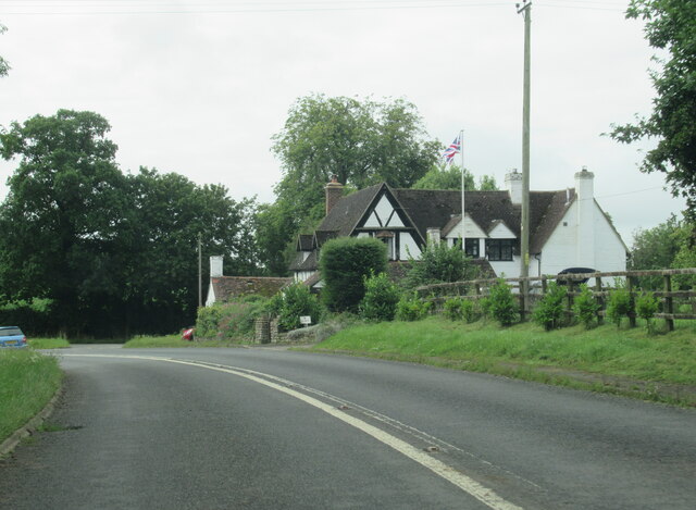
Dean Covert is a small village located in the county of Gloucestershire, England. Situated in the heart of the Forest of Dean, it is known for its picturesque natural beauty and tranquil surroundings. The village is surrounded by dense woodlands, making it an ideal destination for nature lovers and outdoor enthusiasts.

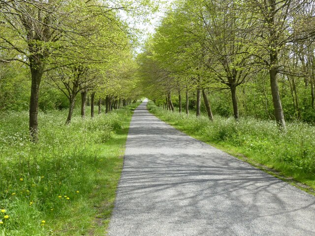
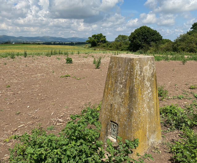
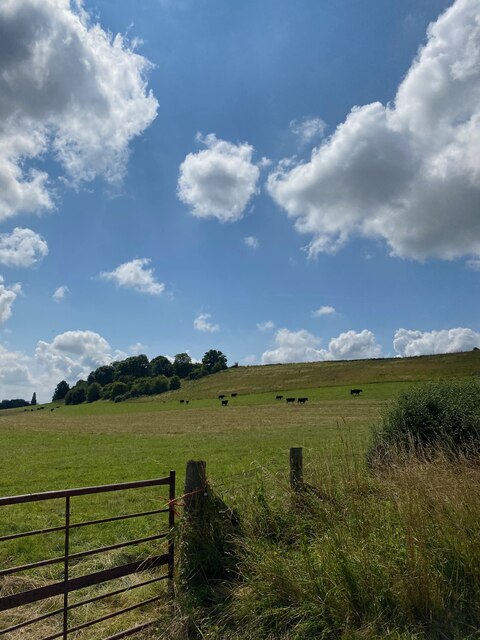
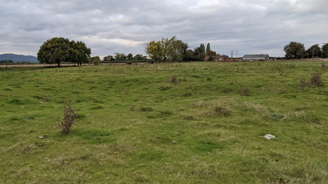
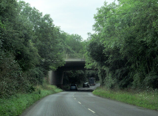
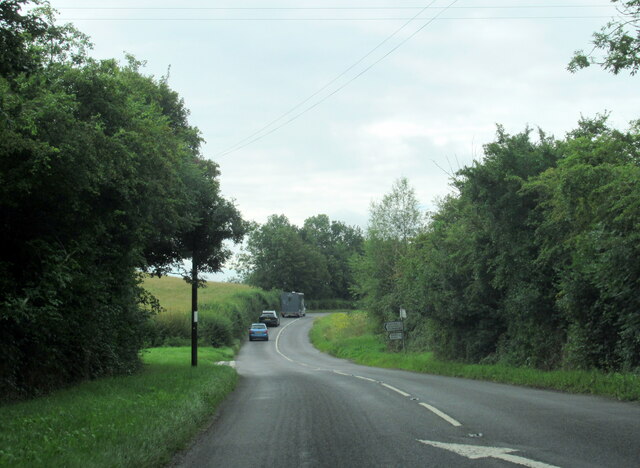
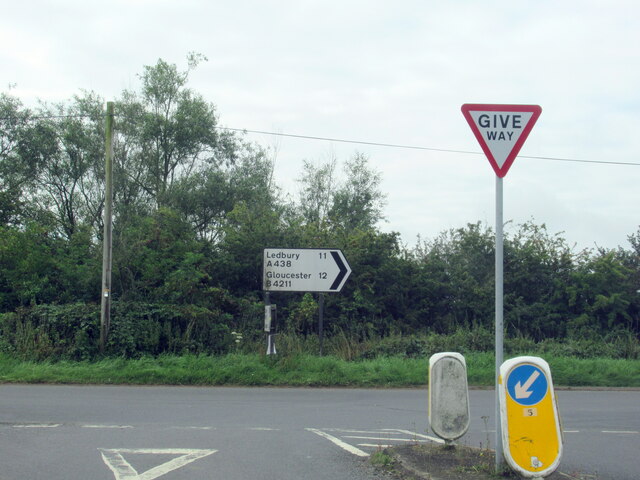
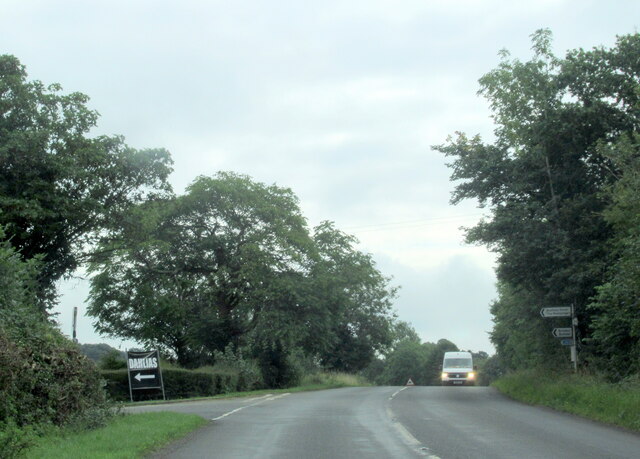
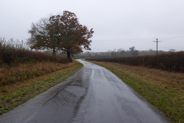
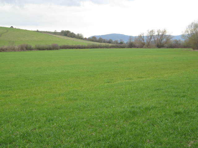
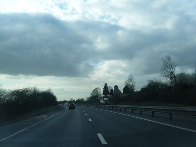
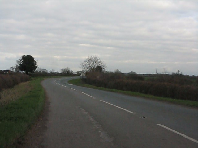
The Forest of Dean, in which Dean Covert is nestled, is one of the largest remaining ancient forests in England. It is home to a diverse range of flora and fauna, including a population of wild boars. Visitors to Dean Covert can explore the forest through various walking and cycling trails, allowing them to immerse themselves in the captivating natural environment.

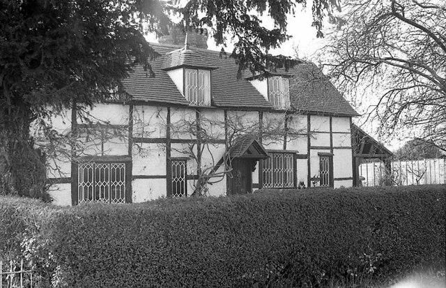
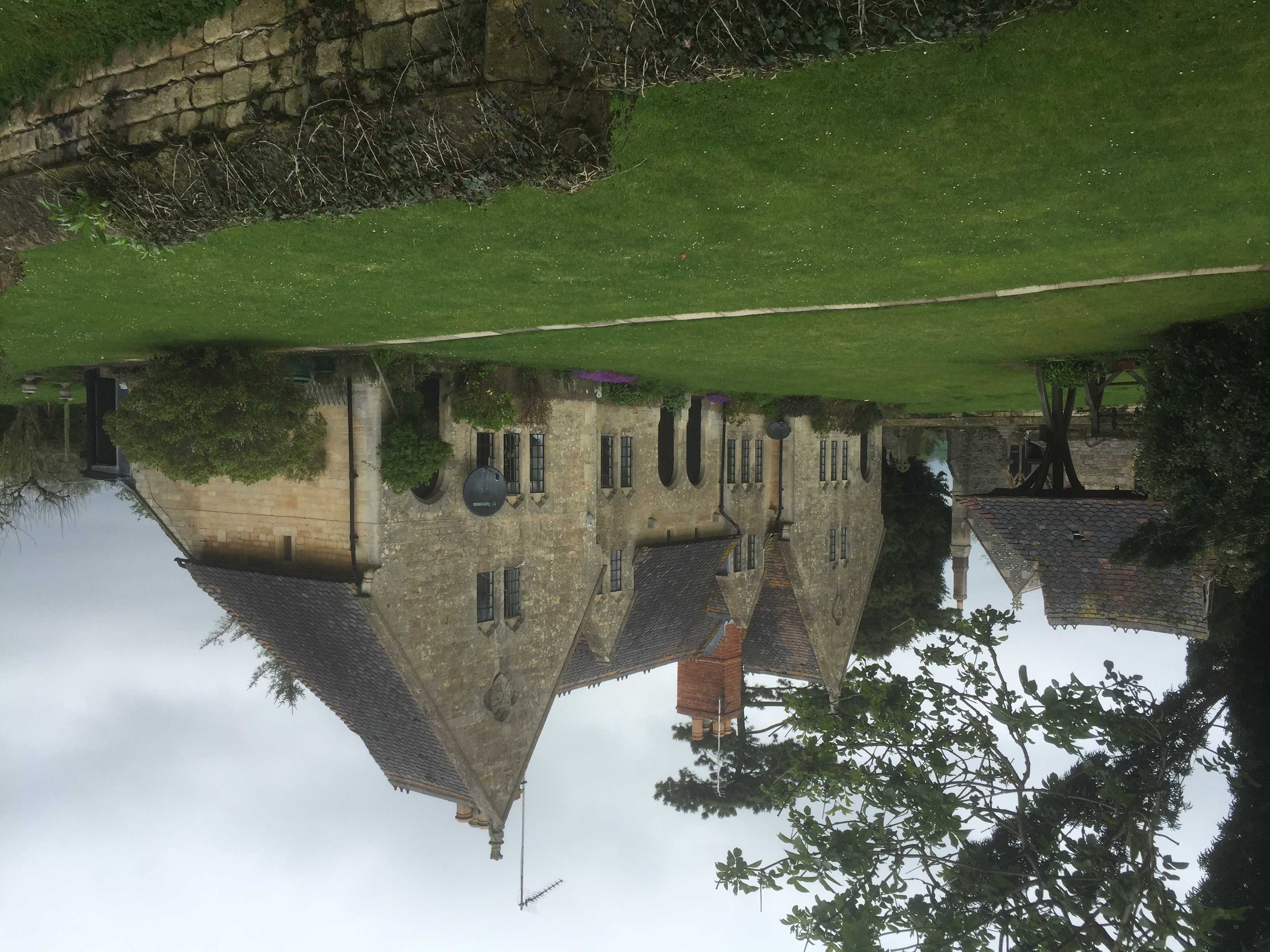
The village itself is small and charming, with a close-knit community. Traditional stone cottages and houses line the streets, giving it a quintessential English countryside feel. Dean Covert is known for its friendly locals who take pride in their village and are always welcoming to visitors.

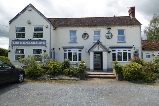
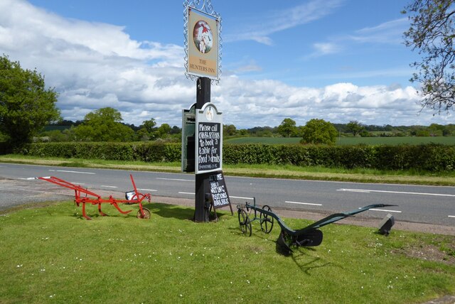
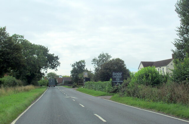
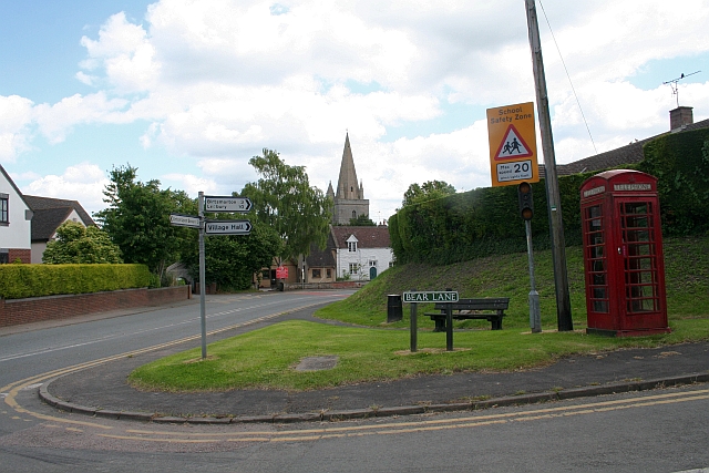
Although Dean Covert is primarily a residential area, there are a few amenities available to residents and visitors. These include a local pub, a village hall, and a small convenience store. For more extensive facilities, the larger town of Gloucester is located a short drive away.

Overall, Dean Covert offers a peaceful retreat for those seeking a break from the hustle and bustle of city life. Its natural beauty, friendly community, and proximity to the ancient Forest of Dean make it a desirable destination for nature enthusiasts and those looking to relax in a tranquil setting.

If you have any feedback on the listing, please let us know in the comments section below.
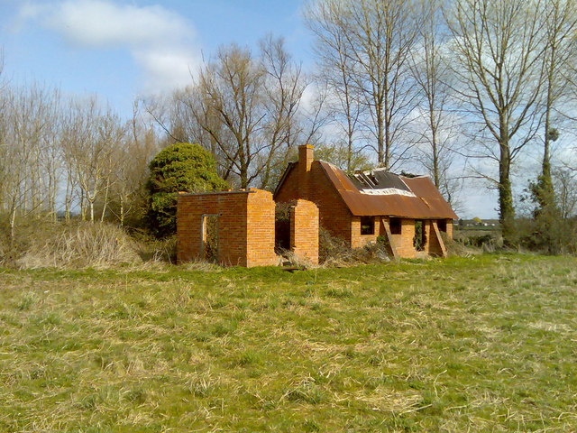
Dean Covert Images

Images are sourced within 2km of 52.000915/-2.2375902 or Grid Reference SO8333. Thanks to Geograph Open Source API. All images are credited.

Bishops Walk, Forthampton The tree-lined Bishops Walk, the road approaching the village of Forthampton.
Bishops Walk, Forthampton
The tree-lined Bishops Walk, the road approaching the village of Forthampton.
Sledge Green Trig Point Flush Bracket S5021
View towards Sledge Green Trig Point
Path towards Horse Bridge
Site of Pendock (Medieval village) The bumpy earthworks north of the public footpath east of Pendock old church made me think the village was originally based here, but the buildings are long gone.
Site of Pendock (Medieval village)
The bumpy earthworks north of the public footpath east of Pendock old church made me think the village was originally based here, but the buildings are long gone.
The Hunter's Inn The Hunter's Inn on the B4211 at Buckbury between Forthampton and Longdon.
The Hunter's Inn
The Hunter's Inn on the B4211 at Buckbury between Forthampton and Longdon.
Hunter's Inn sign The inn sign of the Hunter's Inn and a couple of old farm implements.
Hunter's Inn sign
The inn sign of the Hunter's Inn and a couple of old farm implements.
Cottage at Buckbury Timber-framed cottage beside the B4211 at Buckbury pictured in 1974.
Cottage at Buckbury
Timber-framed cottage beside the B4211 at Buckbury pictured in 1974.
The B4211 at The Old Smithy, Chambers Court
The B4211 passing under the M50 Motorway
The B4211 at turning for Piper's End
The B4211 at The Hunter's Inn pub, Buckbury
The B4211 at junction with A438
The A438 at junction with Green Street
Country road at Piper's End Country road at Piper's End near Longdon, pictured on a dull and very wet December day.
Country road at Piper's End
Country road at Piper's End near Longdon, pictured on a dull and very wet December day.
Grassland near Priors Court
M50 looking west near Priors Court
A438 east of Downend
Show me another place!

Dean Covert is located at Grid Ref: SO8333 (Lat: 52.000915, Lng: -2.2375902)

Administrative County: Worcestershire

District: Malvern Hills

Police Authority: West Mercia

What 3 Words

///domain.rebel.poorly. Near Tewkesbury, Gloucestershire

Related Wikis

Forthampton

Forthampton is a village in Gloucestershire, England The village is located three miles from the market town of Tewkesbury and features "a great number...

Pendock Church

Pendock Church is a redundant Anglican church standing to the southeast of the hamlet of Sledge Green in the parish of Pendock, Worcestershire, England...

Yorke Almshouses

The Yorke Almshouses, Nos. 14–17 Church Row, Forthampton, Gloucestershire, England, are a range of four almshouses designed by the architect William Burges...

Longdon, Worcestershire

Longdon is a village and a civil parish in the Malvern Hills District and council ward of the county of Worcestershire, England and lies about 5 km (3...

RAF Berrow

Royal Air Force Berrow or more simply RAF Berrow is a former Royal Air Force Satellite Landing Ground located near Berrow, Worcestershire, England. �...

Bredon School

Bredon School, formerly Pull Court, is a private school in Bushley, Worcestershire, England. The house was built for the Reverend Canon E. C. Dowdeswell...

Chaceley

Chaceley or Chaseley is a village and civil parish 8 miles (13 km) north of Gloucester, in the Tewkesbury district, in the county of Gloucestershire, England...

Chaceley Meadow SSSI

Chaceley Meadow (grid reference SO857306) is a 1.8-hectare (4.4-acre) biological Site of Special Scientific Interest in Gloucestershire, notified in 1954...

Nearby Amenities

Located within 500m of 52.000915,-2.2375902
Bus Stop
Robertsend Turn
Naptan AtcoCode: 2000G645014
Naptan Bearing: SE
Naptan CommonName: Robertsend Turn
Naptan Indicator: Adj
Naptan Landmark: Dents Cottages
Naptan NaptanCode: wocdwjgm
Naptan Street: Robertsend Turn
Naptan Verified: no
Source: naptan_import
Lat/Long: 52.0038135/-2.2394065
Power: pole
Lat/Long: 51.9980198/-2.2322778
The Smithy
Power: pole
Transformer: distribution
Voltage Primary: 11000
Lat/Long: 51.9987473/-2.2317562
Power: pole
Lat/Long: 51.9974798/-2.2345121
Power: pole
Lat/Long: 51.9976982/-2.236393
Power: pole
Lat/Long: 52.0047715/-2.2403379
Dents Cottage
Power: pole
Transformer: distribution
Voltage Primary: 11000
Lat/Long: 52.004322/-2.2402246
Power: pole
Lat/Long: 52.0039946/-2.2399798
TRL Ltd Long Green
Power: pole
Transformer: distribution
Voltage Primary: 11000
Lat/Long: 52.0036462/-2.2397009
Power: pole
Lat/Long: 52.0030646/-2.2391081
Power: pole
Lat/Long: 52.0024887/-2.2385173
Power: pole
Lat/Long: 52.0022712/-2.2380339
Power: pole
Lat/Long: 52.0019723/-2.2373626
Power: pole
Lat/Long: 52.0017056/-2.2367752
Power: pole
Lat/Long: 52.0014563/-2.236212
Power: pole
Lat/Long: 52.0005514/-2.236554
Power: pole
Lat/Long: 51.9996745/-2.2369087
Power: pole
Lat/Long: 51.9988191/-2.2375269
Power: pole
Lat/Long: 51.9968102/-2.2390316
Power: pole
Lat/Long: 51.9971479/-2.2387768
Power: pole
Lat/Long: 51.9979079/-2.2382136
Power: pole
Lat/Long: 51.9980958/-2.239839
Power: pole
Lat/Long: 51.9982956/-2.2415623
Power: pole
Lat/Long: 51.9984715/-2.2430905
The data included in this document is from www.openstreetmap.org. The data is made available under ODbL.

Have you been to Dean Covert?

Leave your review of Dean Covert below (or comments, questions and feedback).