Beech Coppice
Wood, Forest in Gloucestershire Malvern Hills
England
Beech Coppice
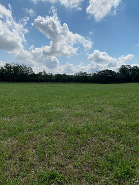
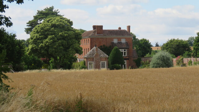
Beech Coppice is a dense woodland located in Gloucestershire, England. Covering an area of approximately 100 acres, it is a prime example of a beech forest and is renowned for its natural beauty and biodiversity. The forest is situated in the heart of the county, near the village of Clearwell.
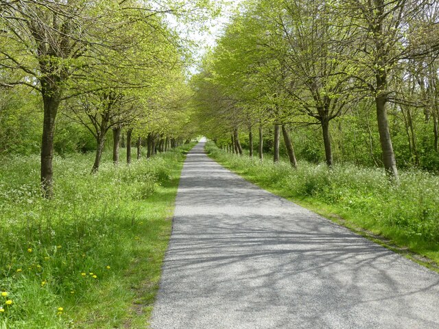
The woodland is characterized by its lush green canopy, formed by towering beech trees that dominate the landscape. These trees, with their smooth silver-grey bark and vibrant green leaves, create a serene and peaceful atmosphere. The forest floor is covered in a thick carpet of moss and ferns, adding to the enchanting ambiance.
Beech Coppice is home to a diverse range of flora and fauna. The forest is a haven for numerous bird species, such as woodpeckers, owls, and thrushes, which can be heard singing amongst the treetops. Small mammals, including squirrels, badgers, and foxes, can also be spotted roaming the forest floor.
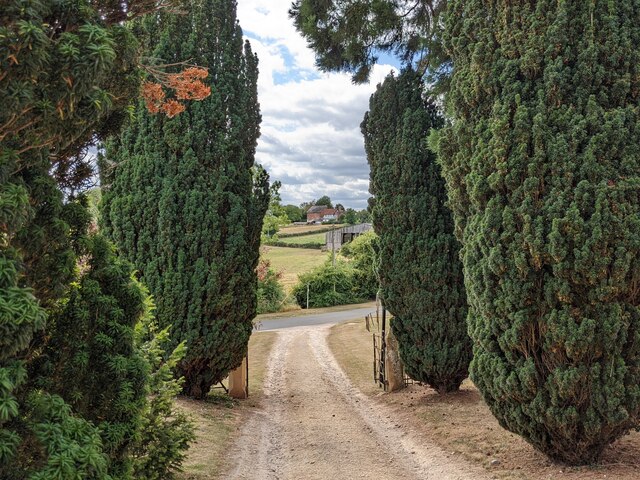
The woodland is crisscrossed by a network of well-maintained footpaths, allowing visitors to explore and appreciate the natural wonders of the area. These paths provide access to scenic viewpoints, hidden clearings, and babbling brooks, creating a tranquil and immersive experience in nature.
Beech Coppice is a popular destination for nature lovers, hikers, and photographers. Its picturesque beauty and abundant wildlife make it an ideal location for outdoor activities and nature observation. The forest is protected by local conservation efforts to ensure its preservation for future generations to enjoy.
If you have any feedback on the listing, please let us know in the comments section below.
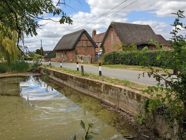
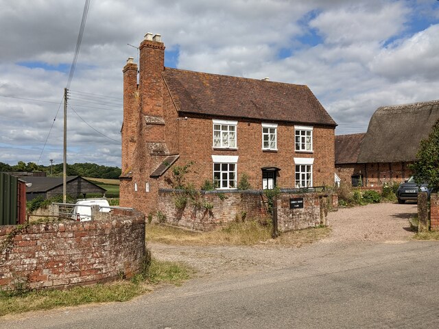
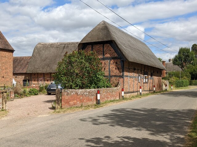
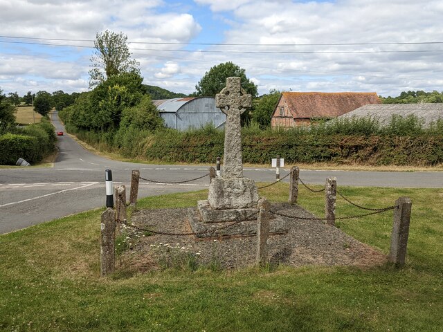
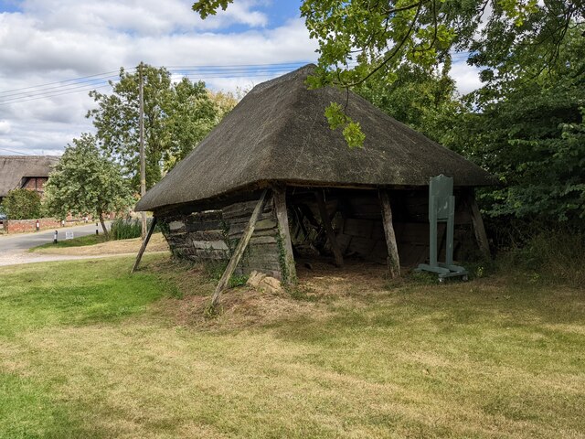
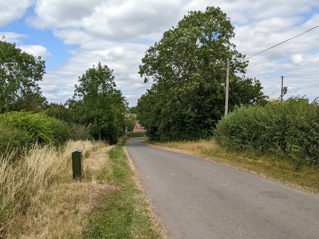
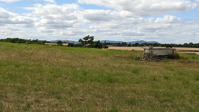
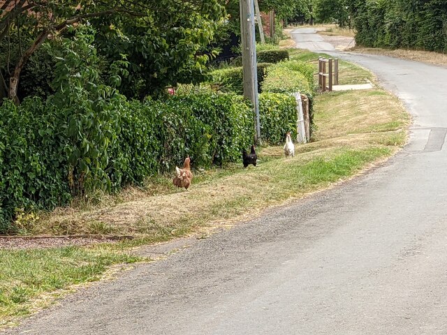
Beech Coppice Images
Images are sourced within 2km of 51.9959/-2.2368936 or Grid Reference SO8333. Thanks to Geograph Open Source API. All images are credited.
Beech Coppice is located at Grid Ref: SO8333 (Lat: 51.9959, Lng: -2.2368936)
Administrative County: Worcestershire
District: Malvern Hills
Police Authority: West Mercia
What 3 Words
///widely.aged.footpath. Near Tewkesbury, Gloucestershire
Nearby Locations
Related Wikis

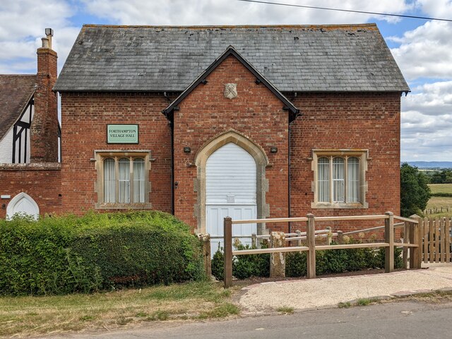
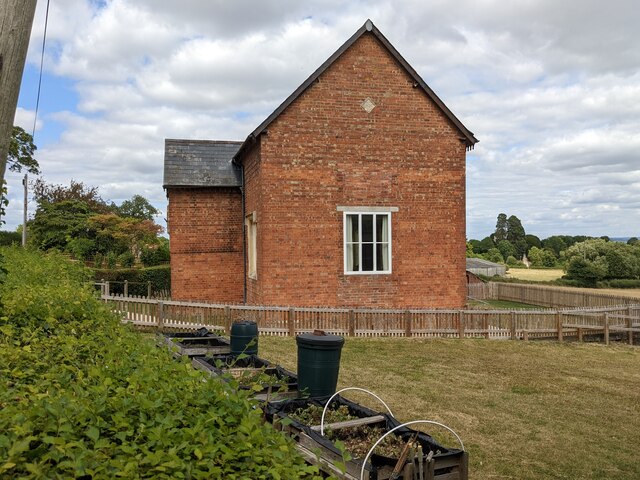
Forthampton
Forthampton is a village in Gloucestershire, England The village is located three miles from the market town of Tewkesbury and features "a great number...
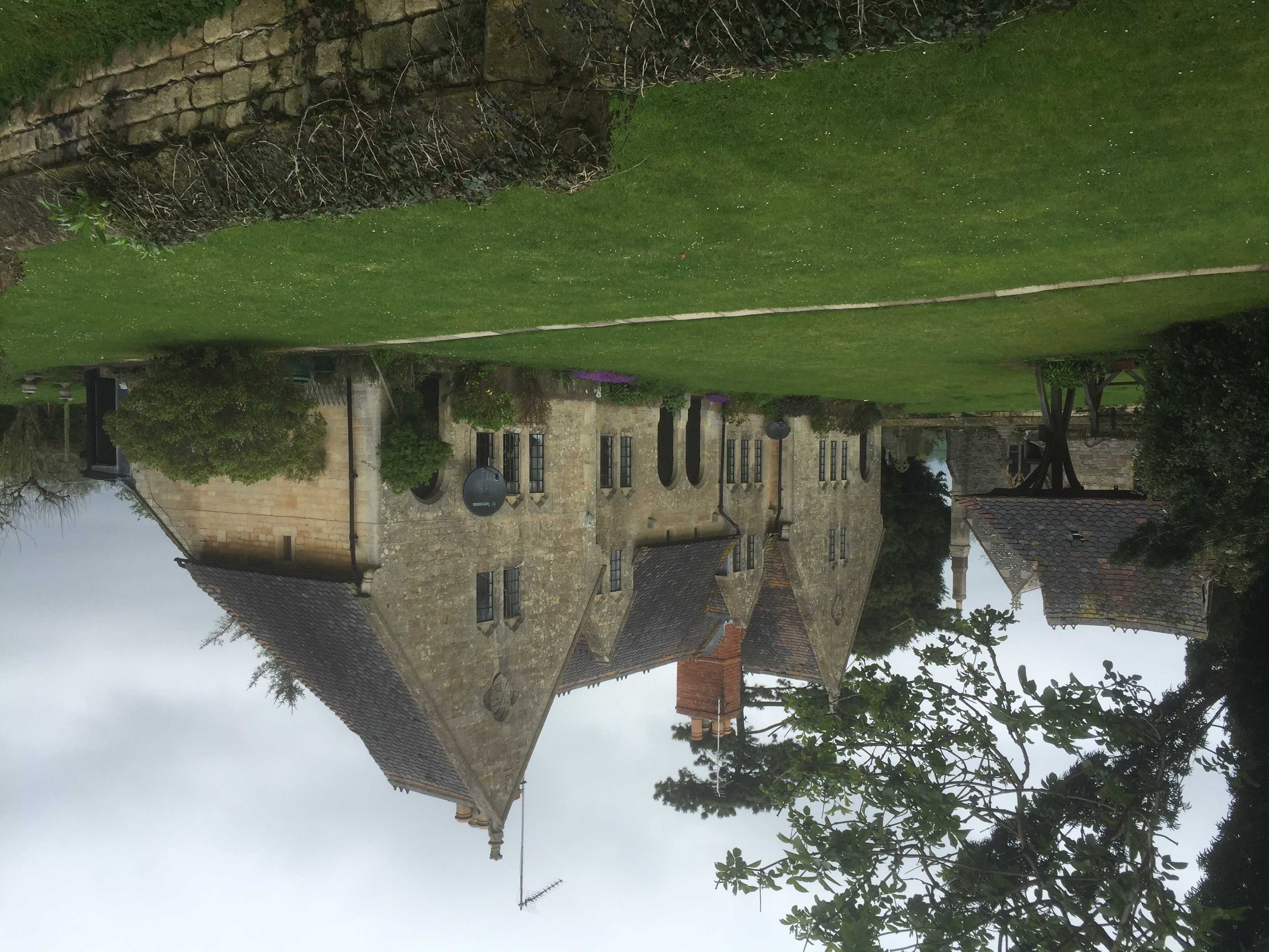
Yorke Almshouses
The Yorke Almshouses, Nos. 14–17 Church Row, Forthampton, Gloucestershire, England, are a range of four almshouses designed by the architect William Burges...

Pendock Church
Pendock Church is a redundant Anglican church standing to the southeast of the hamlet of Sledge Green in the parish of Pendock, Worcestershire, England...
RAF Berrow
Royal Air Force Berrow or more simply RAF Berrow is a former Royal Air Force Satellite Landing Ground located near Berrow, Worcestershire, England. �...

Chaceley
Chaceley or Chaseley is a village and civil parish 8 miles (13 km) north of Gloucester, in the Tewkesbury district, in the county of Gloucestershire, England...

Chaceley Meadow SSSI
Chaceley Meadow (grid reference SO857306) is a 1.8-hectare (4.4-acre) biological Site of Special Scientific Interest in Gloucestershire, notified in 1954...
Longdon, Worcestershire
Longdon is a village and a civil parish in the Malvern Hills District and council ward of the county of Worcestershire, England and lies about 5 km (3...
South Wales Gas Pipeline
The South Wales Gas Pipeline (also known as the Milford Haven pipeline) is the UK's largest high-pressure gas pipeline. The 197-mile (317 km) pipeline...
Nearby Amenities
Located within 500m of 51.9959,-2.2368936Have you been to Beech Coppice?
Leave your review of Beech Coppice below (or comments, questions and feedback).