Downend Coppice
Wood, Forest in Gloucestershire Malvern Hills
England
Downend Coppice
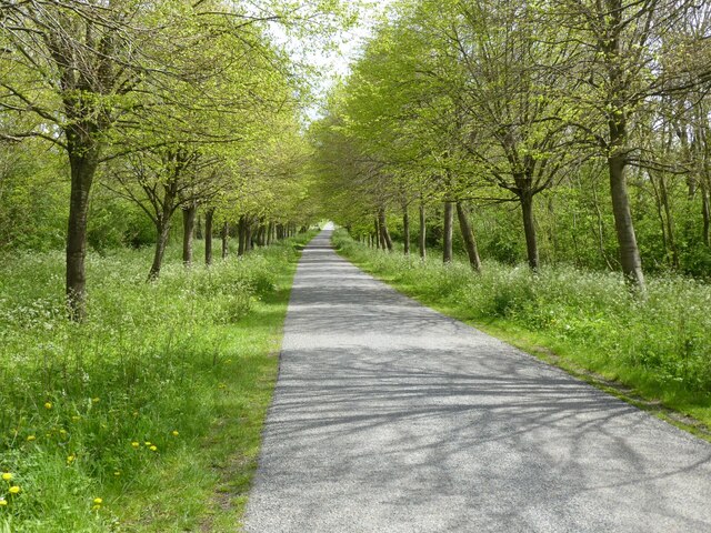
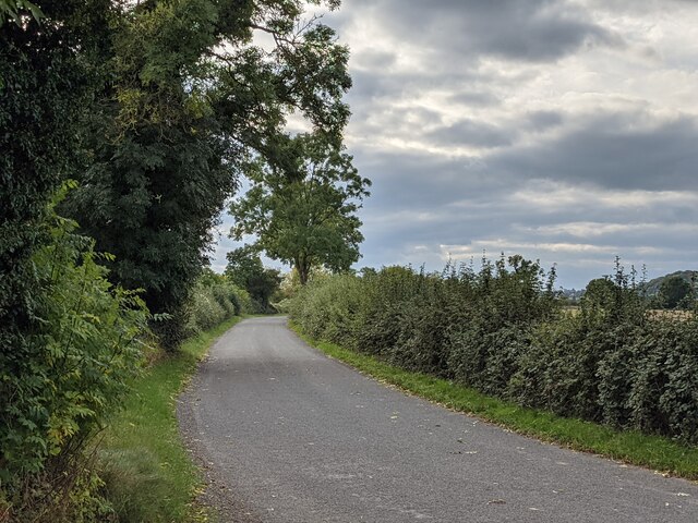
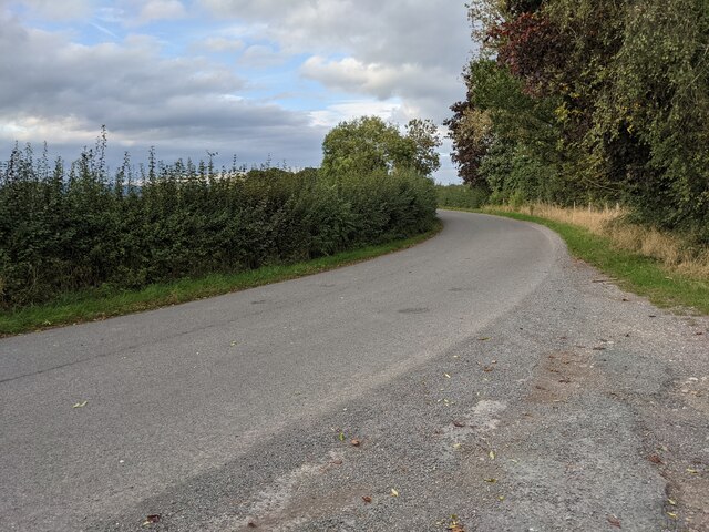
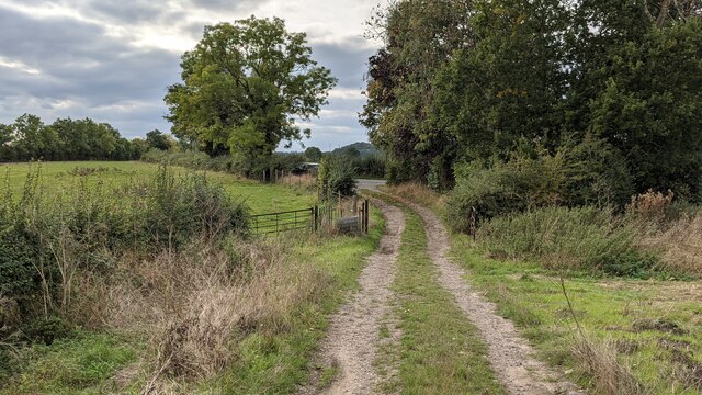
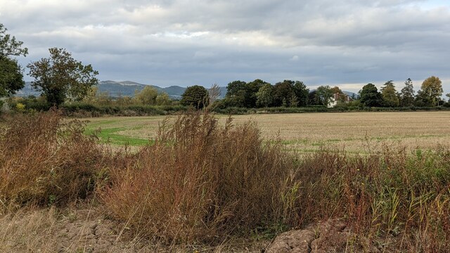
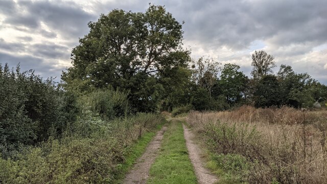
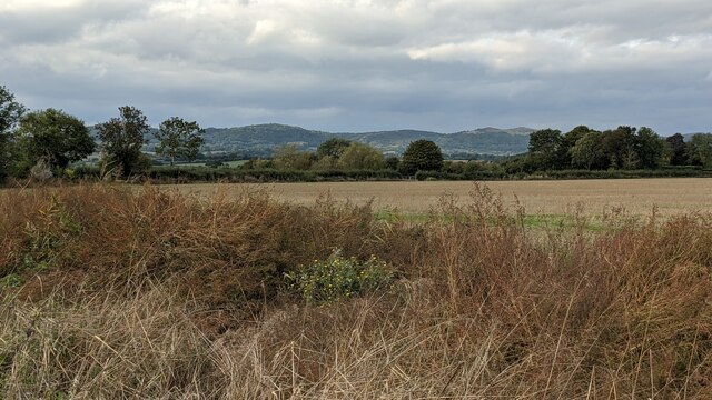
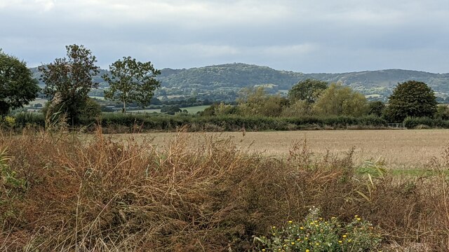
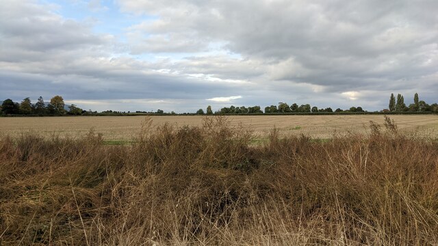
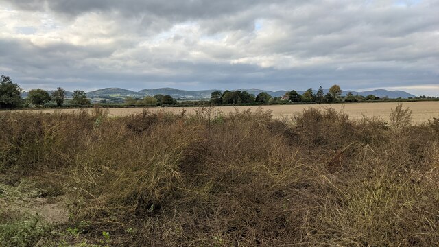
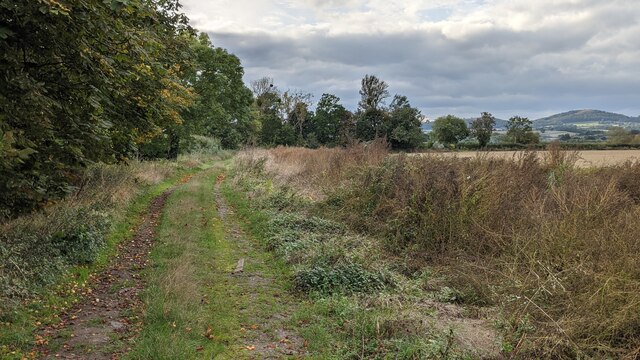
Downend Coppice is a picturesque wood located in the county of Gloucestershire, England. It covers an area of approximately 50 acres and is situated near the village of Downend. This beautiful forest is known for its diverse range of flora and fauna, making it a popular destination for nature enthusiasts and wildlife photographers.
The woodland is primarily composed of broadleaf trees, including oak, beech, and ash, which create a dense and vibrant canopy. The forest floor is covered with a variety of wildflowers, ferns, and mosses, adding to its natural charm. The presence of these different plant species provides an ideal habitat for a wide array of wildlife, such as deer, squirrels, badgers, and numerous bird species.
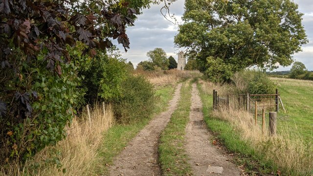
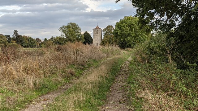
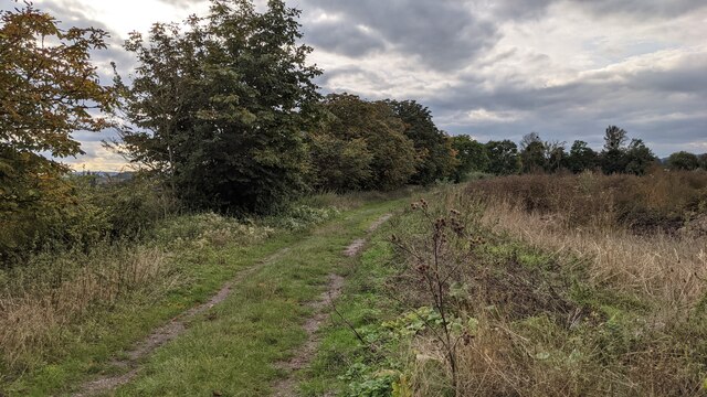
Numerous walking trails wind through the wood, allowing visitors to explore its tranquil surroundings. The paths are well-maintained, making them accessible to people of all ages and abilities. Along these trails, there are several designated picnic areas where visitors can rest and enjoy a packed lunch amidst the serenity of the forest.
Downend Coppice also offers opportunities for educational activities and nature studies. The forest is a designated Site of Special Scientific Interest (SSSI), and its unique ecosystem provides valuable learning experiences for visitors of all ages. It is a popular destination for school trips and guided nature walks, where participants can learn about the importance of woodland conservation and the interconnectedness of various species.
Overall, Downend Coppice is a natural treasure in Gloucestershire, offering a peaceful escape from the hustle and bustle of everyday life. Its diverse flora and fauna, well-maintained trails, and educational opportunities make it a must-visit destination for anyone seeking to connect with nature.
If you have any feedback on the listing, please let us know in the comments section below.
Downend Coppice Images
Images are sourced within 2km of 52.000422/-2.2458175 or Grid Reference SO8333. Thanks to Geograph Open Source API. All images are credited.
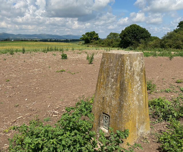
Downend Coppice is located at Grid Ref: SO8333 (Lat: 52.000422, Lng: -2.2458175)
Administrative County: Worcestershire
District: Malvern Hills
Police Authority: West Mercia
What 3 Words
///commit.clinic.swipes. Near Tewkesbury, Gloucestershire
Nearby Locations
Related Wikis

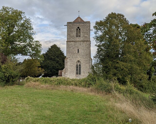
Pendock Church
Pendock Church is a redundant Anglican church standing to the southeast of the hamlet of Sledge Green in the parish of Pendock, Worcestershire, England...
RAF Berrow
Royal Air Force Berrow or more simply RAF Berrow is a former Royal Air Force Satellite Landing Ground located near Berrow, Worcestershire, England. �...

Forthampton
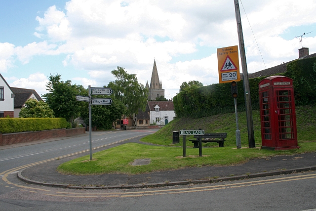
Forthampton is a village in Gloucestershire, England The village is located three miles from the market town of Tewkesbury and features "a great number...
Longdon, Worcestershire
Longdon is a village and a civil parish in the Malvern Hills District and council ward of the county of Worcestershire, England and lies about 5 km (3...
Yorke Almshouses
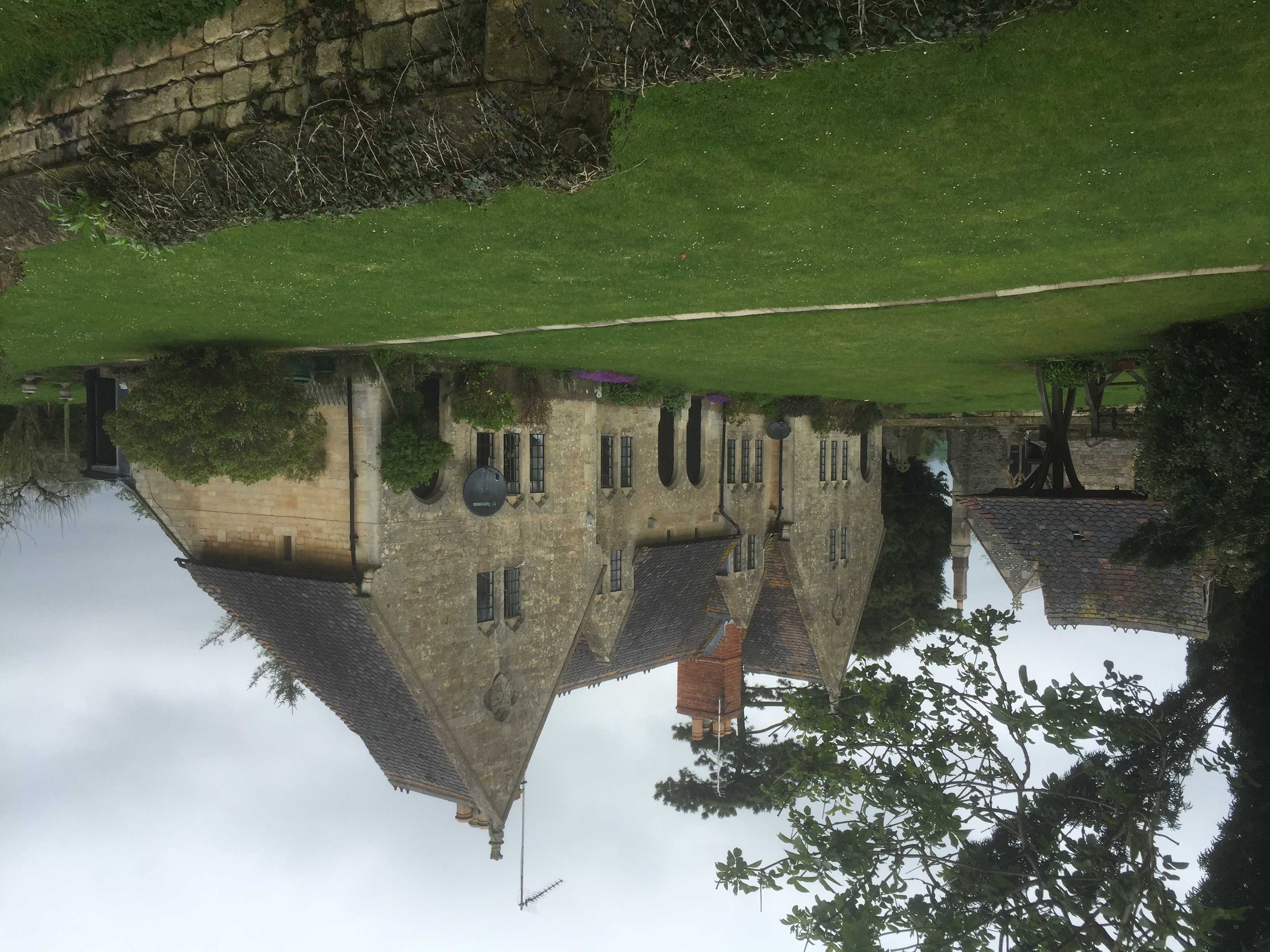
The Yorke Almshouses, Nos. 14–17 Church Row, Forthampton, Gloucestershire, England, are a range of four almshouses designed by the architect William Burges...

Birtsmorton
Birtsmorton is a village and civil parish in the Malvern Hills of Worcestershire, England, which at the 2021 census had a population of 257. It is in...

Birtsmorton Court
Birtsmorton Court is a Grade I listed fortified medieval moated manor house near Malvern in Worcestershire, in the former woodlands of Malvern Chase.It...
Berrow, Worcestershire
Berrow is a village and civil parish in the Malvern Hills district of Worcestershire, England, about seven miles east of Ledbury. According to the 2021...
Nearby Amenities
Located within 500m of 52.000422,-2.2458175Have you been to Downend Coppice?
Leave your review of Downend Coppice below (or comments, questions and feedback).