Holloway's Wood

Wood, Forest in Dorset

England

Holloway's Wood

Manor Farm Barn, Winterborne Clenston This magnificent 16th century flint and chalk tithe barn was a ruin fifteen years ago, see <a href="https://www.geograph.org.uk/photo/424230">ST8303 : Tithe Barn at Winterborne Clenston</a> and <a href="https://www.geograph.org.uk/photo/626928">ST8303 : Manor Farm Barn - Winterborne Clenston</a>, and over the years since then has deteriorated, see <a href="https://www.geograph.org.uk/photo/3922393">ST8303 : Tithe Barn at Winterborne Clenston</a>, yet nothing has been done to restore it despite the fact that it is Grade I listed and apparently has an impressive hammerbeam roof that may have been removed from nearby Milton Abbey when it was dissolved. It is now on Historic England's 'Heritage At Risk' list. <span class="nowrap"><a title="https://historicengland.org.uk/advice/heritage-at-risk/search-register/list-entry/46892" rel="nofollow ugc noopener" href="https://historicengland.org.uk/advice/heritage-at-risk/search-register/list-entry/46892">Link</a><img style="margin-left:2px;" alt="External link" title="External link - shift click to open in new window" src="https://s1.geograph.org.uk/img/external.png" width="10" height="10"/></span>
Manor Farm Barn, Winterborne Clenston Credit: Vieve Forward

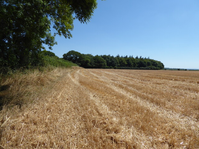
Holloway's Wood is a captivating forest located in the county of Dorset, England. Covering an area of approximately 50 acres, this woodland is a treasured natural gem that attracts nature enthusiasts and outdoor adventurers alike.

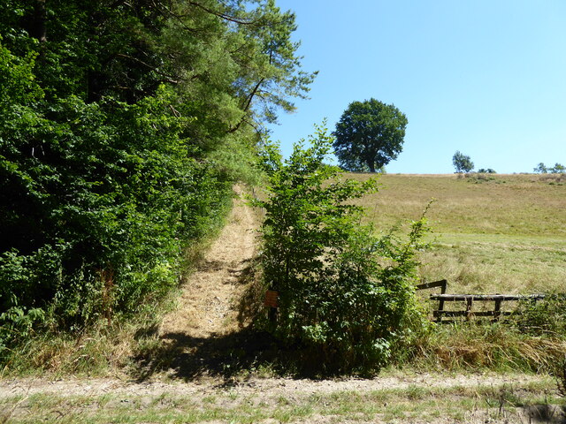
The wood is characterized by its dense canopy of trees, creating a tranquil and serene atmosphere. It is primarily composed of native broadleaf species such as oak, beech, and ash, which provide a rich and varied habitat for a diverse range of flora and fauna.

As visitors wander through the wood, they will be greeted by a tapestry of vibrant wildflowers, including bluebells, foxgloves, and primroses, which sprinkle the forest floor with bursts of color during the spring season.

Holloway's Wood is not only a haven for plant life but also a sanctuary for numerous bird species. Birdwatchers can spot common woodland birds such as woodpeckers, thrushes, and tits, as well as the occasional sighting of rarer species like the tawny owl.

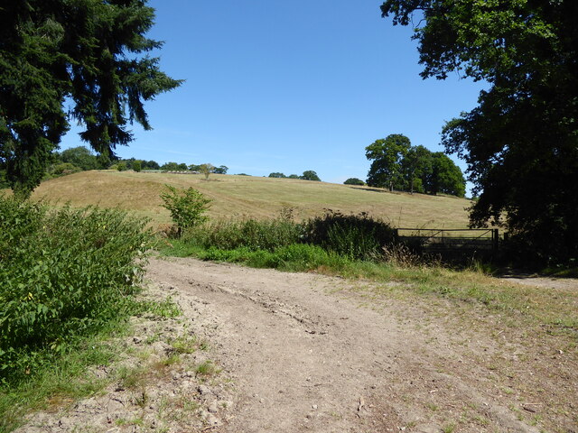
The wood is crisscrossed with a network of footpaths and walking trails, allowing visitors to explore its beauty at their own pace. Nature lovers can enjoy peaceful strolls, picnics, and even spot small mammals such as badgers, foxes, and rabbits.

Holloway's Wood is a cherished natural treasure in Dorset, offering an escape from the hustle and bustle of everyday life. Its enchanting beauty and diverse ecosystem make it a must-visit destination for those seeking solace in nature.

If you have any feedback on the listing, please let us know in the comments section below.

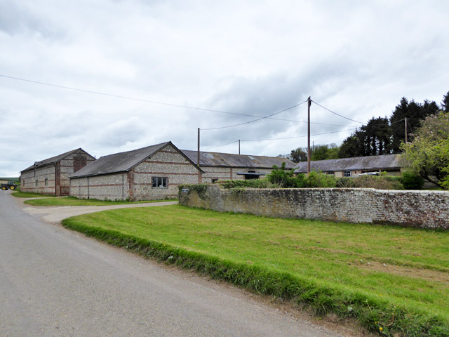
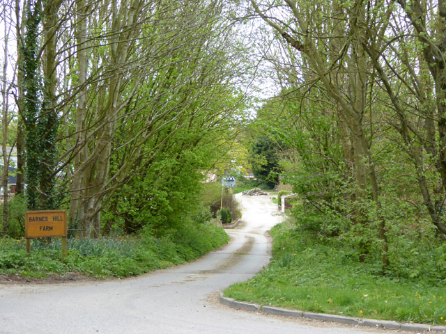
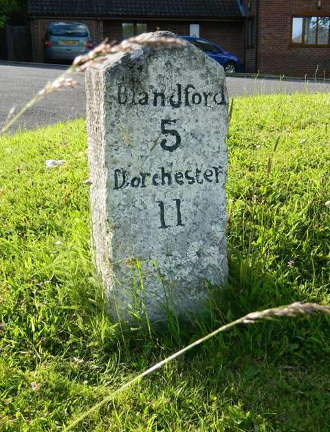
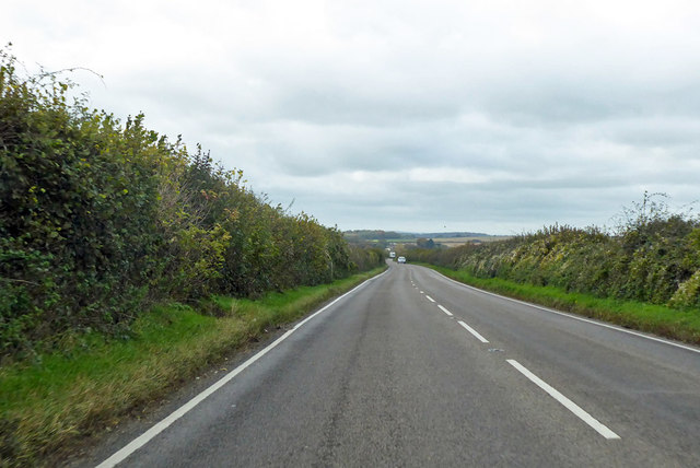
Holloway's Wood Images

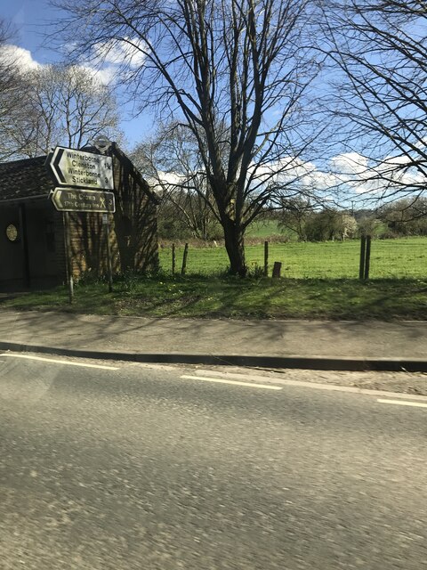
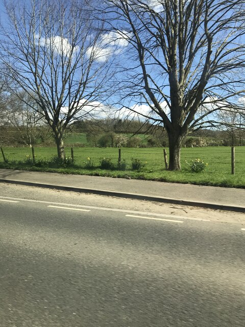
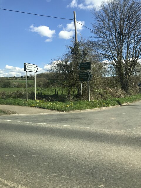
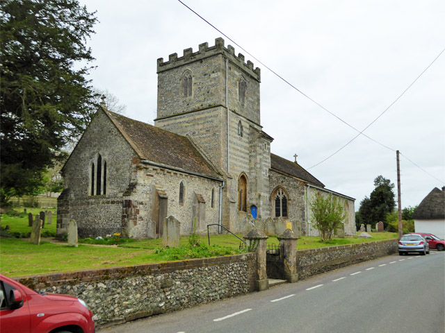
Images are sourced within 2km of 50.813163/-2.2395404 or Grid Reference ST8301. Thanks to Geograph Open Source API. All images are credited.

Manor Farm Barn, Winterborne Clenston This magnificent 16th century flint and chalk tithe barn was a ruin fifteen years ago, see <a href="https://www.geograph.org.uk/photo/424230">ST8303 : Tithe Barn at Winterborne Clenston</a> and <a href="https://www.geograph.org.uk/photo/626928">ST8303 : Manor Farm Barn - Winterborne Clenston</a>, and over the years since then has deteriorated, see <a href="https://www.geograph.org.uk/photo/3922393">ST8303 : Tithe Barn at Winterborne Clenston</a>, yet nothing has been done to restore it despite the fact that it is Grade I listed and apparently has an impressive hammerbeam roof that may have been removed from nearby Milton Abbey when it was dissolved. It is now on Historic England's 'Heritage At Risk' list. <span class="nowrap"><a title="https://historicengland.org.uk/advice/heritage-at-risk/search-register/list-entry/46892" rel="nofollow ugc noopener" href="https://historicengland.org.uk/advice/heritage-at-risk/search-register/list-entry/46892">Link</a><img style="margin-left:2px;" alt="External link" title="External link - shift click to open in new window" src="https://s1.geograph.org.uk/img/external.png" width="10" height="10"/></span>
Manor Farm Barn, Winterborne Clenston
This magnificent 16th century flint and chalk tithe barn was a ruin fifteen years ago, see ST8303 : Tithe Barn at Winterborne Clenston and ST8303 : Manor Farm Barn - Winterborne Clenston, and over the years since then has deteriorated, see ST8303 : Tithe Barn at Winterborne Clenston, yet nothing has been done to restore it despite the fact that it is Grade I listed and apparently has an impressive hammerbeam roof that may have been removed from nearby Milton Abbey when it was dissolved. It is now on Historic England's 'Heritage At Risk' list. LinkExternal link
Manor Farm Barn, Winterborne Clenston Back of the derelict Grade I listed 16th century chalk and flint tithe barn, see <a href="https://www.geograph.org.uk/photo/7250409">ST8303 : Manor Farm Barn, Winterborne Clenston</a>.
Manor Farm Barn, Winterborne Clenston
Back of the derelict Grade I listed 16th century chalk and flint tithe barn, see ST8303 : Manor Farm Barn, Winterborne Clenston.
Barn, Manor Farm, Winterborne Clenston Grade II listed thatched barn built of chalk, flint and brick, in serious need of repair. <span class="nowrap"><a title="https://historicengland.org.uk/listing/the-list/list-entry/1118619" rel="nofollow ugc noopener" href="https://historicengland.org.uk/listing/the-list/list-entry/1118619">Link</a><img style="margin-left:2px;" alt="External link" title="External link - shift click to open in new window" src="https://s1.geograph.org.uk/img/external.png" width="10" height="10"/></span>
Barn, Manor Farm, Winterborne Clenston
Grade II listed thatched barn built of chalk, flint and brick, in serious need of repair. LinkExternal link
St Nicholas's Church Grade II* listed church, 1840, by Lewis Vuillamy. <span class="nowrap"><a title="https://historicengland.org.uk/listing/the-list/list-entry/1324267?section=official-list-entry" rel="nofollow ugc noopener" href="https://historicengland.org.uk/listing/the-list/list-entry/1324267?section=official-list-entry">Link</a><img style="margin-left:2px;" alt="External link" title="External link - shift click to open in new window" src="https://s1.geograph.org.uk/img/external.png" width="10" height="10"/></span>
St Nicholas's Church
Grade II* listed church, 1840, by Lewis Vuillamy. LinkExternal link
Entrance to Luccombe Luccombe now boasts holiday accommodation, businesses and crafts, and a riding centre.
Entrance to Luccombe
Luccombe now boasts holiday accommodation, businesses and crafts, and a riding centre.
Public bridleway approaching Weston's Wood
Public bridleway to Oatclose Wood
Public bridleway, Whatcombe Common
A354 Thatched Cottage
Direction sign The finial from the original finger-post, giving location and grid reference details, which has been retained and affixed to standard modern signage. 

Inscription reads:-
Dorset / Winterborne / Whitechurch / 838002

National Milestone ID: TBC
Direction sign
The finial from the original finger-post, giving location and grid reference details, which has been retained and affixed to standard modern signage. Inscription reads:- Dorset / Winterborne / Whitechurch / 838002 National Milestone ID: TBC
A354  near Winterborne Whitechurch
A354 near Winterborne Whitechurch
A354 junction with Rook Lane
Winterborne Whitechurch church St. Mary's is a grade I listed building, earliest part 13th century, tower 14th century, with additions and alterations right up to the 20th century (vestry on right).
Winterborne Whitechurch church
St. Mary's is a grade I listed building, earliest part 13th century, tower 14th century, with additions and alterations right up to the 20th century (vestry on right).
Older barns, Chescombe Farm Extensive modern buildings are behind these.
Older barns, Chescombe Farm
Extensive modern buildings are behind these.
Entrance, Barns Hill Farm The premises appear to be more industrial than agricultural.
Entrance, Barns Hill Farm
The premises appear to be more industrial than agricultural.
Jubilee Trail south of West and East Luccombe Farms
Old Milestone by the A354, Winterborne Whitechurch Carved stone post by the A354, in parish of WINTERBORNE WHITECHURCH (NORTH DORSET District), Sanders Green, Dorchester Hill, Winterborne Whitechurch village, on grass by entrance to group of modern houses, on North side of road. Dorset 1 (limestone), erected by the Harnham, Blandford & Dorchester turnpike trust in the 19th century. 

Inscription reads:-
Blandford
5
Dorchester
11  

Grade II Listed. List Entry Number:1152689
<span class="nowrap"><a title="https://historicengland.org.uk/listing/the-list/list-entry/1152689" rel="nofollow ugc noopener" href="https://historicengland.org.uk/listing/the-list/list-entry/1152689">Link</a><img style="margin-left:2px;" alt="External link" title="External link - shift click to open in new window" src="https://s1.geograph.org.uk/img/external.png" width="10" height="10"/></span>

Milestone Society National ID: DO_DOBF11
Old Milestone by the A354, Winterborne Whitechurch
Carved stone post by the A354, in parish of WINTERBORNE WHITECHURCH (NORTH DORSET District), Sanders Green, Dorchester Hill, Winterborne Whitechurch village, on grass by entrance to group of modern houses, on North side of road. Dorset 1 (limestone), erected by the Harnham, Blandford & Dorchester turnpike trust in the 19th century. Inscription reads:- Blandford 5 Dorchester 11 Grade II Listed. List Entry Number:1152689 LinkExternal link Milestone Society National ID: DO_DOBF11
A354, Blandford Hill, towards Dorchester A little way ahead on the near verge is a milestone.
A354, Blandford Hill, towards Dorchester
A little way ahead on the near verge is a milestone.
Show me another place!

Holloway's Wood is located at Grid Ref: ST8301 (Lat: 50.813163, Lng: -2.2395404)

Unitary Authority: Dorset

Police Authority: Dorset

What 3 Words

///dips.friction.reckons. Near Milborne St Andrew, Dorset

Related Wikis

Winterborne Whitechurch

Winterborne Whitechurch is a village and civil parish in central Dorset, England, situated in a winterbourne valley on the A354 road on the Dorset Downs...

Winterborne Clenston

Winterborne Clenston is a small village and civil parish in Dorset, England, around 3+1⁄2 miles (5.5 kilometres) southwest of Blandford Forum. In 2013...

Milton Abbas

Milton Abbas is a village and civil parish in Dorset, England, lying around 5 miles (8 kilometres) southwest of Blandford Forum. In the 2011 Census the...

Winterborne Stickland

Winterborne Stickland is a village and civil parish in the county of Dorset in southern England. It lies about four miles (six kilometres) west of the...

Whiteway Hundred

Whiteway Hundred was a hundred in the English county of Dorset, containing the following parishes: Cheselbourne Hilton Ibberton Melcombe Horsey Milton...

Winterborne Houghton

Winterborne Houghton is a village and civil parish in north Dorset, England. It is situated in a winterbourne valley on the Dorset Downs, five miles (eight...
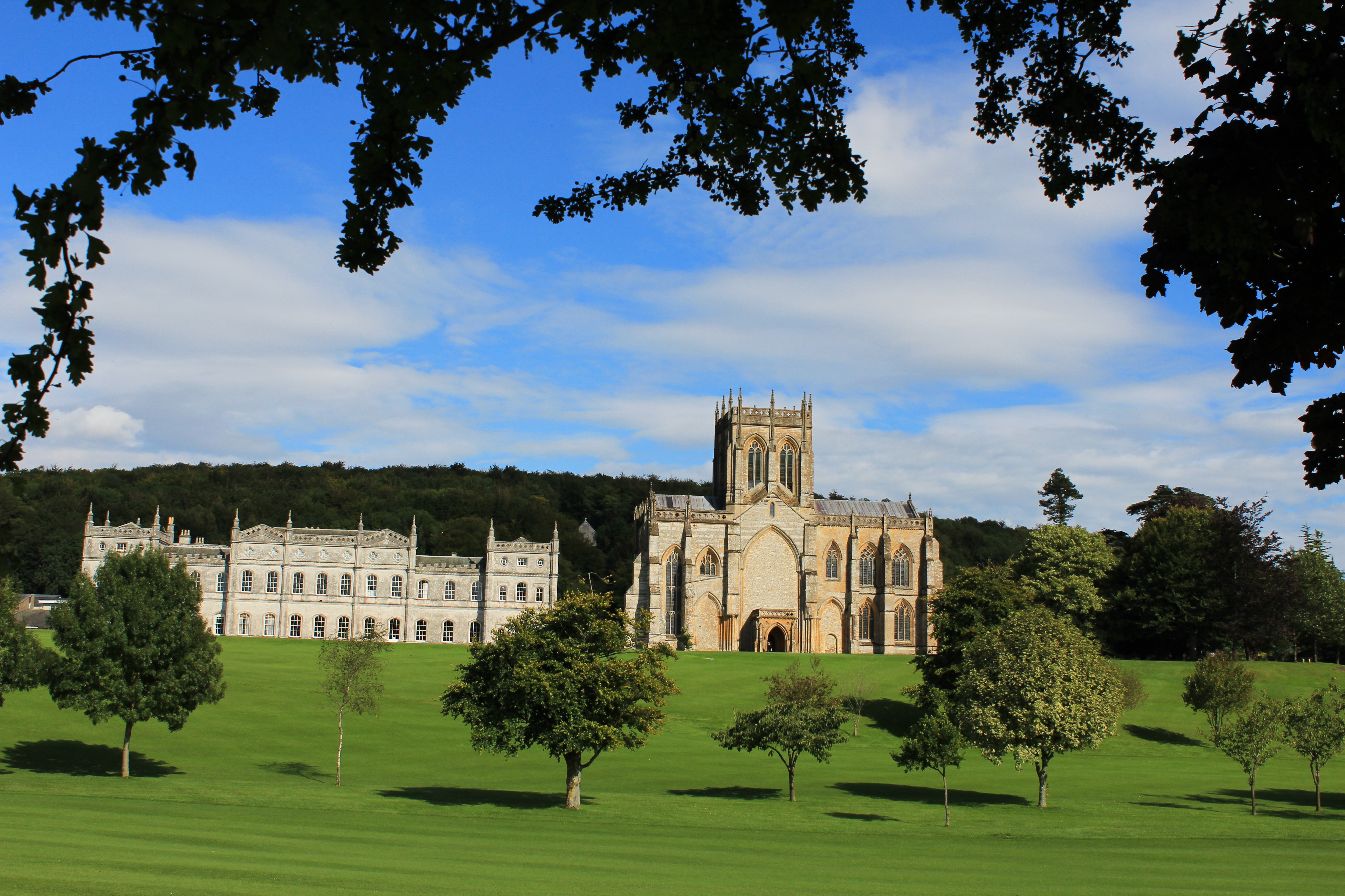
Milton Abbey School

Milton Abbey school is an independent school for day and boarding pupils in the village of Milton Abbas, near Blandford Forum in Dorset, in South West...

Combs Ditch

Combs Ditch is a linear earthwork in Dorset on Charlton Down. It was once at least 6.4 km long but now only 4.4 km is visible. It is sometimes spelt Comb...

Nearby Amenities

Located within 500m of 50.813163,-2.2395404
Material: wood
Power: pole
Source: bing
Lat/Long: 50.8095597/-2.2382365
Material: wood
Power: pole
Source: bing
Lat/Long: 50.8097413/-2.2350174
Material: wood
Power: pole
Source: bing
Lat/Long: 50.8098724/-2.2372309
Material: wood
Power: pole
Source: bing
Lat/Long: 50.8101414/-2.2363636
Material: wood
Power: pole
Source: bing
Lat/Long: 50.8104103/-2.2355016
Material: wood
Power: pole
Source: bing
Lat/Long: 50.8111803/-2.2352781
Material: wood
Power: pole
Source: bing
Lat/Long: 50.8119401/-2.2350387
Material: wood
Power: pole
Source: bing
Lat/Long: 50.8127436/-2.2347514
Material: wood
Power: pole
Source: bing
Lat/Long: 50.8134631/-2.2345172
Material: wood
Power: pole
Source: bing
Transformer: distribution
Lat/Long: 50.8152908/-2.2337434
Power: pole
Source: bing
Lat/Long: 50.813993/-2.2342774
The data included in this document is from www.openstreetmap.org. The data is made available under ODbL.

Have you been to Holloway's Wood?

Leave your review of Holloway's Wood below (or comments, questions and feedback).