Park Wood
Wood, Forest in Cheshire
England
Park Wood
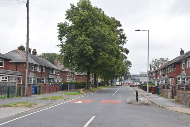
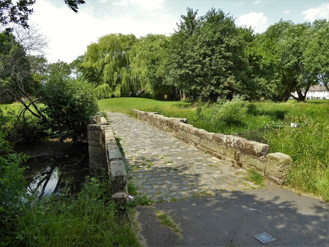
Park Wood is a picturesque woodland located in Cheshire, England. Covering an area of approximately 100 acres, it is well-known for its natural beauty and diverse range of flora and fauna. The wood is part of a larger forested area and is surrounded by rolling hills and meandering streams, creating a tranquil and serene atmosphere.
The wood is predominantly made up of deciduous trees such as oak, beech, and birch, which provide a stunning display of colors during the autumn months. In addition to the trees, there is also a rich understory of shrubs, wildflowers, and ferns, which add to the overall beauty and biodiversity of the area.
Park Wood is a popular destination for nature lovers and outdoor enthusiasts, offering a range of recreational activities. There are several well-maintained walking trails that wind through the wood, providing visitors with the opportunity to explore and discover the abundant wildlife that calls the area home. Birdwatchers will be delighted by the variety of species that can be spotted, including woodpeckers, owls, and various songbirds.
The wood is also home to a number of mammals, including deer, foxes, and squirrels, which can often be seen darting through the trees or foraging for food. For those interested in the history of the area, there are also remnants of ancient settlements and archaeological sites scattered throughout the wood, adding a sense of intrigue and mystery to the surroundings.
Overall, Park Wood in Cheshire is a captivating destination that offers visitors a chance to immerse themselves in nature and experience the tranquility of a truly enchanting woodland.
If you have any feedback on the listing, please let us know in the comments section below.
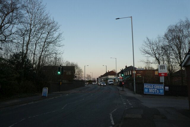
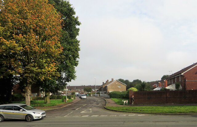
Park Wood Images
Images are sourced within 2km of 53.381604/-2.2536775 or Grid Reference SJ8387. Thanks to Geograph Open Source API. All images are credited.


![Delta House, Wavell Road, Manchester An interesting Y-shaped 1960s office block, the upper storeys above a hexagonal ground floor.
I would have tried to get a closer look, but the &quot;ISO27001-compliant building has some of the most sophisticated security of any data centre in Europe ... with an on-site police-linked, NSI Gold Approved, BS5979 certified control room and alarm receiving centre [it is] unique in the UK. ...biometric access controls, virtual tripwires, visitor turnstiles and man-traps, and full-height perimeter fencing provide multiple layers of physical security.&quot; Operated by Teledata UK Ltd.](https://s0.geograph.org.uk/geophotos/07/57/16/7571684_3af7842c.jpg)


Park Wood is located at Grid Ref: SJ8387 (Lat: 53.381604, Lng: -2.2536775)
Unitary Authority: Manchester
Police Authority: Greater Manchester
What 3 Words
///stack.mount.sock. Near Ringway, Manchester
Nearby Locations
Related Wikis

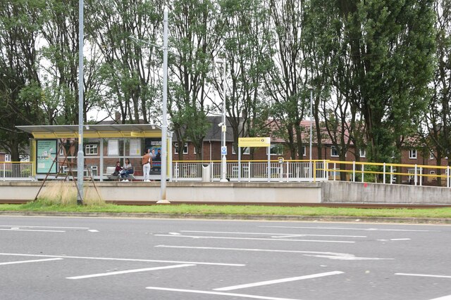
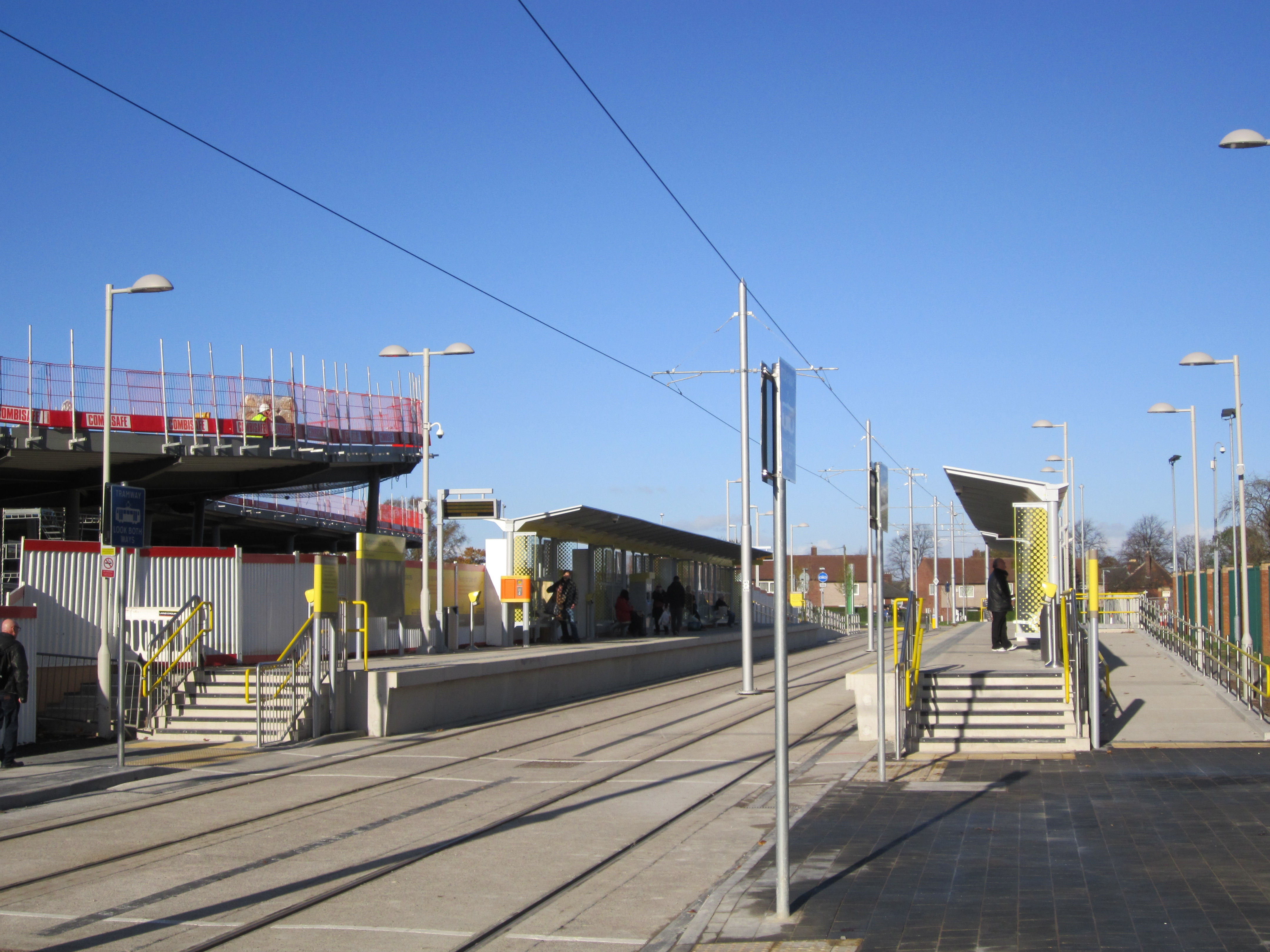
Crossacres tram stop
Crossacres is a tram stop for the Phase 3B Extension of Greater Manchester's Metrolink system. The stop is part of the Airport Line and is at the junction...
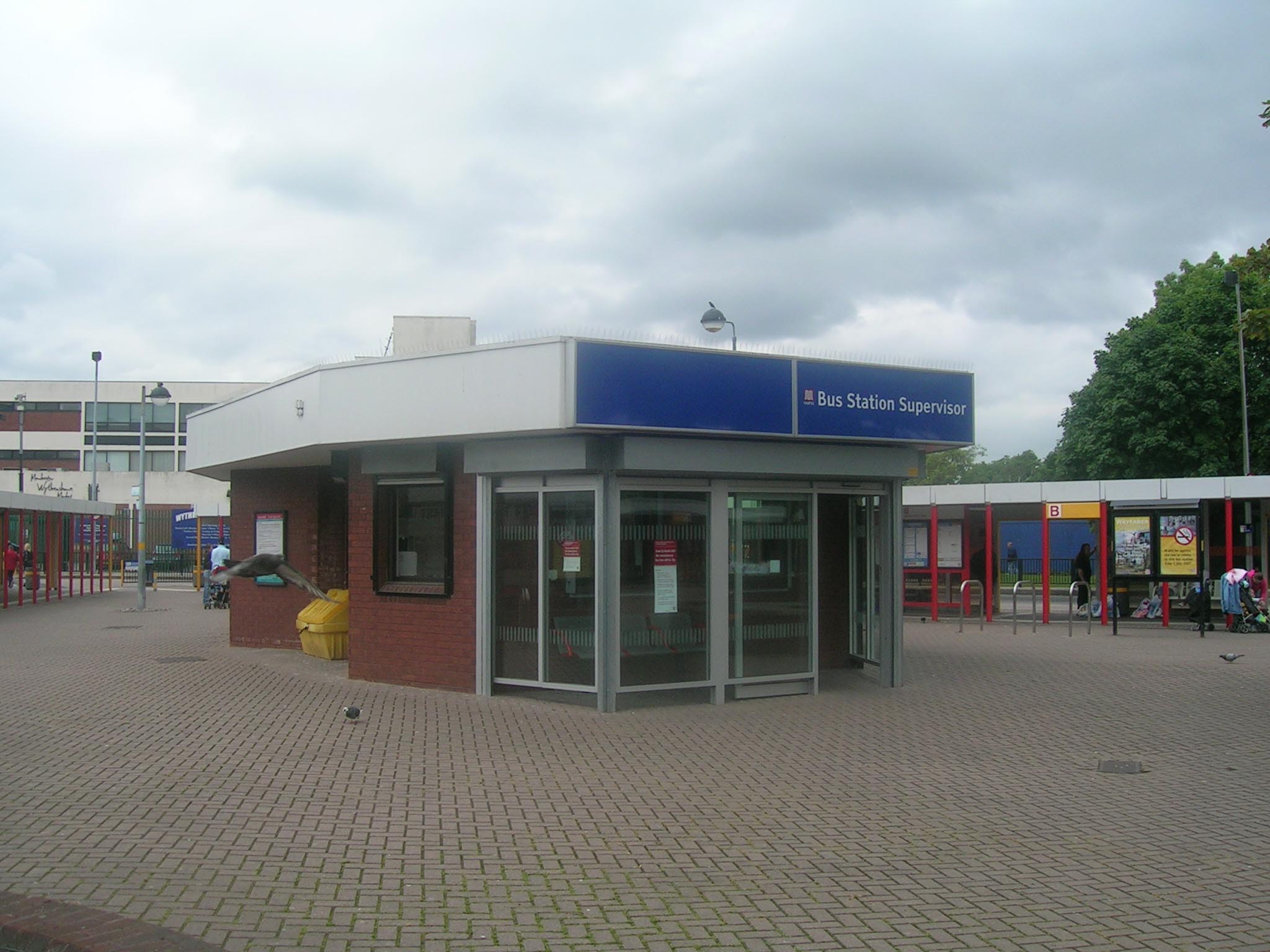
Wythenshawe bus station
Wythenshawe bus station serves the Wythenshawe area of Greater Manchester, England. The bus station was opened by the Greater Manchester Passenger Transport...

Peel Hall, Wythenshawe
Peel Hall is a suburb of Manchester, England, nine miles south of the city centre and a mile north of Manchester Airport. Peel Hall is on the eastern edge...

Benchill tram stop
Benchill is a tram stop for Phase 3b of the Manchester Metrolink. It opened on 3 November 2014. It is on the Airport Line at the Brownley Road/Hollyhedge...

Robinswood Road tram stop
Robinswood Road is a tram stop for Phase 3b of the Manchester Metrolink. It opened on 3 November 2014. and is on the Airport Line on Simonsway at the junction...
Wythenshawe Town Centre tram stop
Wythenshawe Town Centre is a tram stop on the Manchester Metrolink Airport Line. It opened on 3 November 2014. It is in Wythenshawe town centre next to...
Northen Etchells
Northen Etchells was a township in Cheshire, England. "Northen" is an old name for Northenden and "Etchells" came from Anglo-Saxon ēcels = "land added...
Wythenshawe FM
Wythenshawe FM 97.2, also known as WFM, is a community radio station broadcasting primarily to Wythenshawe, Manchester and the surrounding south Manchester...
Nearby Amenities
Located within 500m of 53.381604,-2.2536775Have you been to Park Wood?
Leave your review of Park Wood below (or comments, questions and feedback).