Scent Close Plantation

Wood, Forest in Dorset

England

Scent Close Plantation

A354 Thatched Cottage
A354 Thatched Cottage Credit: Paul Barnett

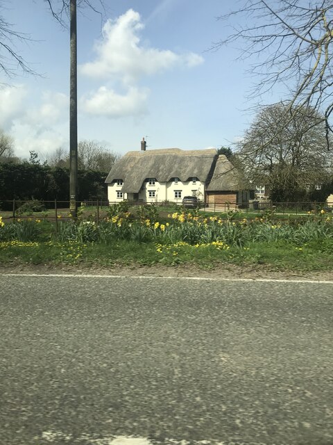
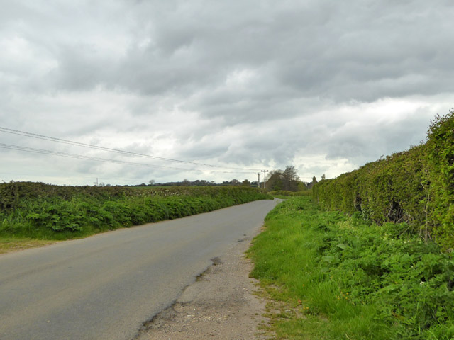
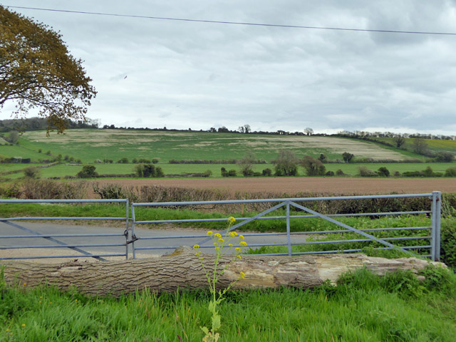
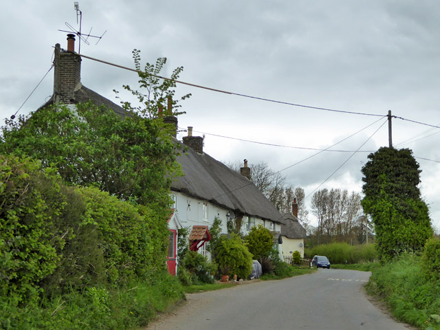
Scent Close Plantation is a picturesque woodland located in the county of Dorset, England. Situated near the village of Sturminster Newton, this enchanting forest covers an area of approximately 500 acres, providing a serene and idyllic escape for nature enthusiasts and hikers alike.

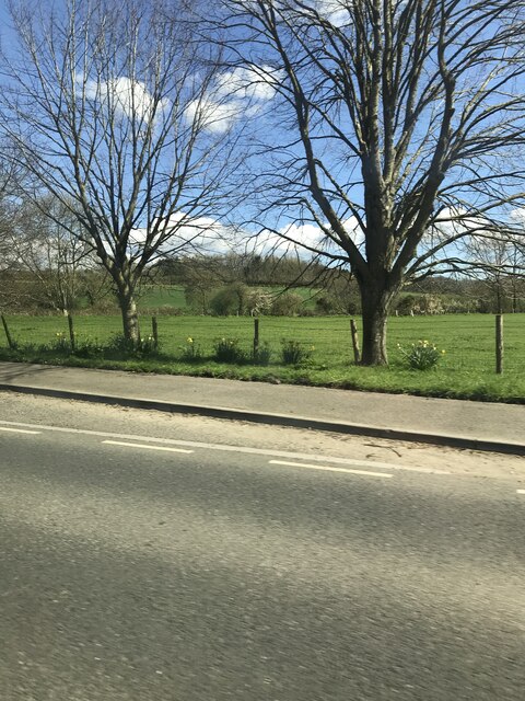
The plantation is characterized by its dense canopy of towering trees, predominantly consisting of native species such as oak, beech, and ash. These majestic giants create a tranquil and shady environment, perfect for exploring on a warm summer's day or for seeking refuge from the elements during a winter stroll.

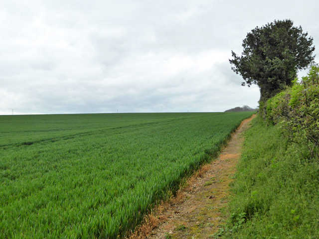
As visitors wander through Scent Close Plantation, they are treated to a sensory feast. The air is filled with the earthy aroma of damp soil and the sweet scent of wildflowers that bloom beneath the trees. The forest floor is adorned with a carpet of vibrant ferns, mosses, and bluebells, adding a splash of color to the otherwise green landscape.

The plantation is also home to a diverse range of wildlife. Birdwatchers can spot numerous species, including woodpeckers, owls, and red kites, soaring above the treetops. Squirrels frolic amongst the branches, and occasionally, lucky visitors may catch a glimpse of a timid deer or a shy fox.

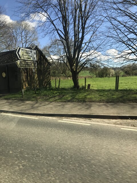
Scent Close Plantation offers a network of well-maintained trails, allowing visitors to explore the woodland at their own pace. It is a haven for walkers, joggers, and cyclists, with paths ranging in difficulty, catering to all fitness levels.

Whether one seeks solitude, a connection with nature, or simply a break from the hustle and bustle of everyday life, Scent Close Plantation is a haven that guarantees a serene and unforgettable experience amidst the natural beauty of Dorset.

If you have any feedback on the listing, please let us know in the comments section below.

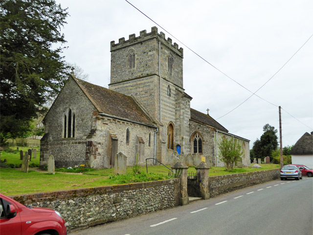
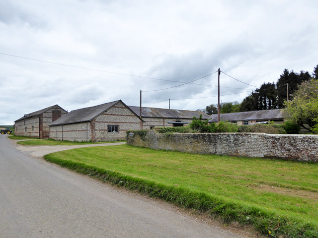
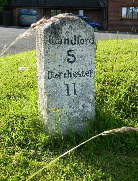
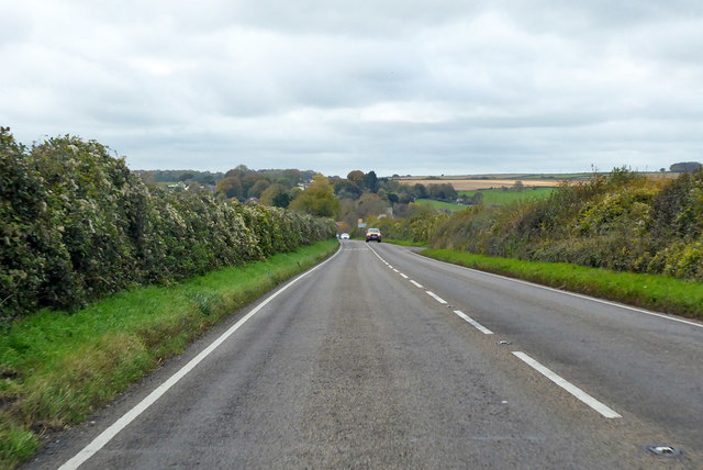
Scent Close Plantation Images

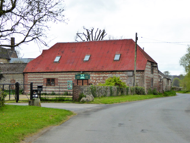
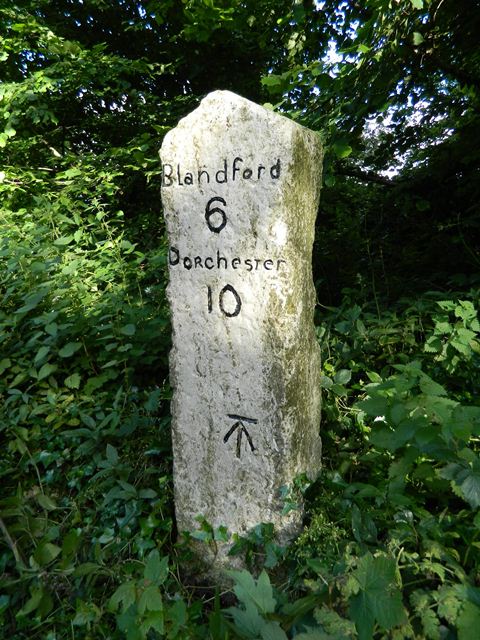
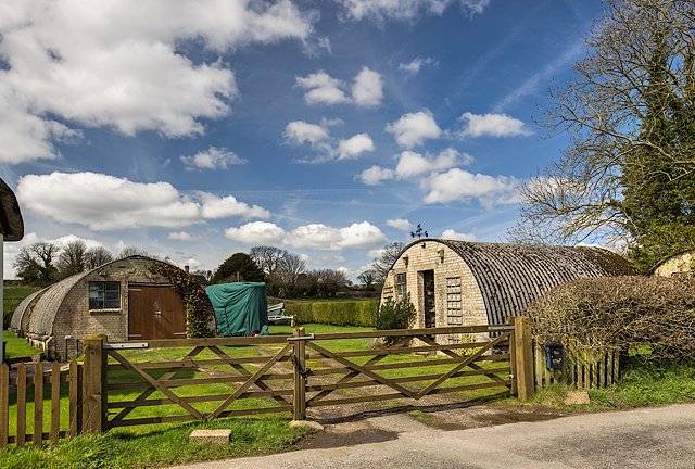
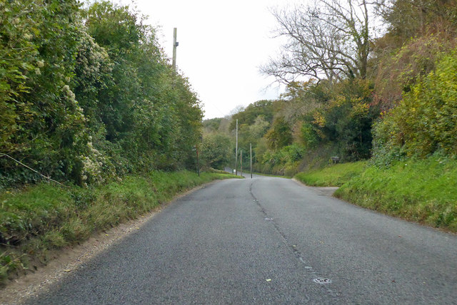
Images are sourced within 2km of 50.791175/-2.2309865 or Grid Reference SY8399. Thanks to Geograph Open Source API. All images are credited.

A354 Thatched Cottage
Direction sign The finial from the original finger-post, giving location and grid reference details, which has been retained and affixed to standard modern signage. 

Inscription reads:-
Dorset / Winterborne / Whitechurch / 838002

National Milestone ID: TBC
Direction sign
The finial from the original finger-post, giving location and grid reference details, which has been retained and affixed to standard modern signage. Inscription reads:- Dorset / Winterborne / Whitechurch / 838002 National Milestone ID: TBC
A354  near Winterborne Whitechurch
A354 near Winterborne Whitechurch
A354 junction with Rook Lane
Winterborne Whitechurch church St. Mary's is a grade I listed building, earliest part 13th century, tower 14th century, with additions and alterations right up to the 20th century (vestry on right).
Winterborne Whitechurch church
St. Mary's is a grade I listed building, earliest part 13th century, tower 14th century, with additions and alterations right up to the 20th century (vestry on right).
Older barns, Chescombe Farm Extensive modern buildings are behind these.
Older barns, Chescombe Farm
Extensive modern buildings are behind these.
Old Milestone by the A354, Winterborne Whitechurch Carved stone post by the A354, in parish of WINTERBORNE WHITECHURCH (NORTH DORSET District), Sanders Green, Dorchester Hill, Winterborne Whitechurch village, on grass by entrance to group of modern houses, on North side of road. Dorset 1 (limestone), erected by the Harnham, Blandford & Dorchester turnpike trust in the 19th century. 

Inscription reads:-
Blandford
5
Dorchester
11  

Grade II Listed. List Entry Number:1152689
<span class="nowrap"><a title="https://historicengland.org.uk/listing/the-list/list-entry/1152689" rel="nofollow ugc noopener" href="https://historicengland.org.uk/listing/the-list/list-entry/1152689">Link</a><img style="margin-left:2px;" alt="External link" title="External link - shift click to open in new window" src="https://s1.geograph.org.uk/img/external.png" width="10" height="10"/></span>

Milestone Society National ID: DO_DOBF11
Old Milestone by the A354, Winterborne Whitechurch
Carved stone post by the A354, in parish of WINTERBORNE WHITECHURCH (NORTH DORSET District), Sanders Green, Dorchester Hill, Winterborne Whitechurch village, on grass by entrance to group of modern houses, on North side of road. Dorset 1 (limestone), erected by the Harnham, Blandford & Dorchester turnpike trust in the 19th century. Inscription reads:- Blandford 5 Dorchester 11 Grade II Listed. List Entry Number:1152689 LinkExternal link Milestone Society National ID: DO_DOBF11
A354, Blandford Hill, towards Dorchester Dropping down to Winterborne Whitechurch.
A354, Blandford Hill, towards Dorchester
Dropping down to Winterborne Whitechurch.
Road west from Winterborne Kingston A string of Winterbornes along this road, next, Winterborne Whitechurch.
Road west from Winterborne Kingston
A string of Winterbornes along this road, next, Winterborne Whitechurch.
The Winterborne valley Looking east over the valley between Winterborne Kingston and Winterborne Whitechurch.
The Winterborne valley
Looking east over the valley between Winterborne Kingston and Winterborne Whitechurch.
Footpath climbing out of Winterborne valley Heading in the general direction of West Park Farm.
Footpath climbing out of Winterborne valley
Heading in the general direction of West Park Farm.
Cottages, Lower Street In the parish of Winterborne Whitechurch.
Cottages, Lower Street
In the parish of Winterborne Whitechurch.
Business barn, Lower Whitechurch Farm The farm buildings are now a business centre. This barn houses Grant and Webster Furniture Ltd.
Business barn, Lower Whitechurch Farm
The farm buildings are now a business centre. This barn houses Grant and Webster Furniture Ltd.
Old Milestone by the A354, south west of Winterborne Whitechurch Carved stone post by the A354, in parish of MILBORNE ST ANDREW (NORTH DORSET District), 250m West of entrance road to Field Barn Farm, on bank amongst small trees, on South side of road. Dorset 1 (limestone), erected by the Harnham, Blandford & Dorchester turnpike trust in the 19th century. 
See <span class="nowrap"><a title="https://www.flickr.com/photos/tollhouses/7477983804/in/datetaken/" rel="nofollow ugc noopener" href="https://www.flickr.com/photos/tollhouses/7477983804/in/datetaken/">Link</a><img style="margin-left:2px;" alt="External link" title="External link - shift click to open in new window" src="https://s1.geograph.org.uk/img/external.png" width="10" height="10"/></span> for reverse face.

Inscription reads:-
Blandford
6
Dorchester
10   
Carved benchmark bottom centre of front face.

Grade II Listed. List Entry Number:1324264
<span class="nowrap"><a title="https://historicengland.org.uk/listing/the-list/list-entry/1324264" rel="nofollow ugc noopener" href="https://historicengland.org.uk/listing/the-list/list-entry/1324264">Link</a><img style="margin-left:2px;" alt="External link" title="External link - shift click to open in new window" src="https://s1.geograph.org.uk/img/external.png" width="10" height="10"/></span>

Milestone Society National ID: DO_DOBF10
Old Milestone by the A354, south west of Winterborne Whitechurch
Carved stone post by the A354, in parish of MILBORNE ST ANDREW (NORTH DORSET District), 250m West of entrance road to Field Barn Farm, on bank amongst small trees, on South side of road. Dorset 1 (limestone), erected by the Harnham, Blandford & Dorchester turnpike trust in the 19th century. See LinkExternal link for reverse face. Inscription reads:- Blandford 6 Dorchester 10 Carved benchmark bottom centre of front face. Grade II Listed. List Entry Number:1324264 LinkExternal link Milestone Society National ID: DO_DOBF10
WWII Dorset - Winterborne Whitechurch: Searchlight Battery -
AA Searchlight Battery: DoB ID: e09907

The remains of a wartime AA searchlight battery survive in a private garden at Winterborne Whitechurch in the form of four huts used for accommodation (all of them are just visible), including one that possibly housed a generator. Currently under floodwater is the concrete base for the searchlight itself which survives in an adjacent field. Known as Turner's Curved Asbestos Huts, they were manufactured by the Turner Asbestos Company of Trafford Park, Manchester. Their use dates the searchlight battery from post May 1942, although the battery may have been in operation before then. The huts continue to be used today as garages.
WWII Dorset - Winterborne Whitechurch: Searchlight Battery
- AA Searchlight Battery: DoB ID: e09907 The remains of a wartime AA searchlight battery survive in a private garden at Winterborne Whitechurch in the form of four huts used for accommodation (all of them are just visible), including one that possibly housed a generator. Currently under floodwater is the concrete base for the searchlight itself which survives in an adjacent field. Known as Turner's Curved Asbestos Huts, they were manufactured by the Turner Asbestos Company of Trafford Park, Manchester. Their use dates the searchlight battery from post May 1942, although the battery may have been in operation before then. The huts continue to be used today as garages.
A354 towards Dorchester Climbing away from Winterborne Whitechurch.
A354 towards Dorchester
Climbing away from Winterborne Whitechurch.
A354 towards Dorchester Behind the hedge on the left is a gas valve compound.
A354 towards Dorchester
Behind the hedge on the left is a gas valve compound.
Junction with the A354 in Winterborne Whitechurch
Show me another place!

Scent Close Plantation is located at Grid Ref: SY8399 (Lat: 50.791175, Lng: -2.2309865)

Unitary Authority: Dorset

Police Authority: Dorset

What 3 Words

///luxury.yesterday.coping. Near Milborne St Andrew, Dorset

Nearby Locations

Scent Close Plantation

Related Wikis

Winterborne Whitechurch

Winterborne Whitechurch is a village and civil parish in central Dorset, England, situated in a winterbourne valley on the A354 road on the Dorset Downs...

Duropolis

Duropolis is the name of an archaeological site at Winterborne Kingston in the English county of Dorset, believed to be the remains of the first planned...

Whiteway Hundred

Whiteway Hundred was a hundred in the English county of Dorset, containing the following parishes: Cheselbourne Hilton Ibberton Melcombe Horsey Milton...

Winterborne Kingston

Winterborne Kingston is a village and civil parish in the county of Dorset in southern England. It lies 7 miles (11 kilometres) south of the town of Blandford...

Bere Regis Hundred

Bere Regis Hundred was a hundred in the county of Dorset, England, containing the following parishes: Bere Regis Winterborne KingstonMilborne Stileham...

Combs Ditch

Combs Ditch is a linear earthwork in Dorset on Charlton Down. It was once at least 6.4 km long but now only 4.4 km is visible. It is sometimes spelt Comb...

Winterborne Muston

Winterborne Muston is a village in Dorset, England. The first name of "Winterborne" comes from the River Winterborne, which flows from west to east through...

Milborne St Andrew

Milborne St Andrew is a village and civil parish in the county of Dorset in southern England. It is situated on the A354 road, 9 miles (14 kilometres)...

Nearby Amenities

Located within 500m of 50.791175,-2.2309865
Material: wood
Power: pole
Source: bing
Lat/Long: 50.7919389/-2.2242546
Material: wood
Power: pole
Source: bing
Lat/Long: 50.7926786/-2.2247136
Post Box
Brand: Royal Mail
Brand Wikidata: Q638098
Collection Times: Mo-Fr 10:15; Sa 10:00
Operator: Royal Mail
Operator Wikidata: Q638098
Post Box Type: lamp
Ref: DT11 168
Royal Cypher: EIIR
Royal Cypher Wikidata: Q33102113
Lat/Long: 50.7945668/-2.2272499
Power: pole
Source: bing
Lat/Long: 50.7945682/-2.2270851
Fire Hydrant
Emergency: fire_hydrant
Fire Hydrant Diameter: 75
Fire Hydrant Type: underground
Ref: 10806
Source: survey
Lat/Long: 50.793367/-2.22728
Power: pole
Source: survey;bing
Lat/Long: 50.7938985/-2.2270583
Power: pole
Source: survey;bing
Lat/Long: 50.7941876/-2.227069
Power: pole
Source: survey;bing
Lat/Long: 50.7928465/-2.2275732
Power: pole
Source: survey;bing
Lat/Long: 50.7933195/-2.227073
Power: pole
Source: survey;bing
Transformer: distribution
Voltage Primary: 11000
Voltage Secondary: 400
Voltage Tertiary: 230
Lat/Long: 50.7933475/-2.2266707
Power: pole
Source: survey;bing
Lat/Long: 50.7934696/-2.2251713
The data included in this document is from www.openstreetmap.org. The data is made available under ODbL.

Have you been to Scent Close Plantation?

Leave your review of Scent Close Plantation below (or comments, questions and feedback).