Little Wood

Wood, Forest in Wiltshire

England

Little Wood

Mere : Chaddenwick Hill A303 Looking along Chaddenwick Hill.
Mere : Chaddenwick Hill A303 Credit: Lewis Clarke

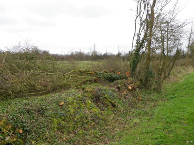
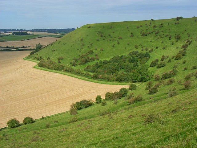
Little Wood is a quaint and picturesque forest situated in the county of Wiltshire, England. As its name suggests, it is a small woodland area covering approximately 50 acres. The forest is nestled amidst the rolling hills and lush green meadows of the Wiltshire countryside, providing a tranquil and serene escape for nature enthusiasts and outdoor lovers.

Little Wood boasts a diverse range of tree species, including oak, beech, ash, and birch, which create a stunning tapestry of colors throughout the year. The forest floor is adorned with a rich carpet of wildflowers, ferns, and mosses, adding to its natural charm and beauty.

The woodland is home to a variety of wildlife, making it a haven for animal lovers and birdwatchers. Visitors may catch glimpses of deer, foxes, rabbits, and squirrels, as well as a plethora of bird species, including woodpeckers, thrushes, and owls. The peaceful ambiance of the forest provides the perfect opportunity to observe and appreciate these creatures in their natural habitat.

Little Wood offers several walking trails, allowing visitors to explore its enchanting surroundings at their own pace. These paths wind through the forest, providing picturesque views and opportunities for quiet contemplation. The forest is also a popular spot for picnics, with several designated picnic areas scattered throughout.

In summary, Little Wood is a small but captivating forest in Wiltshire, England. With its diverse flora and fauna, tranquil atmosphere, and scenic walking trails, it offers a delightful escape into nature for visitors of all ages.

If you have any feedback on the listing, please let us know in the comments section below.
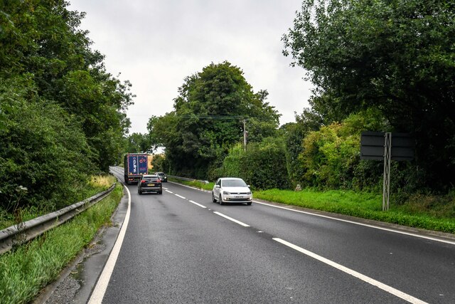
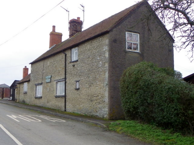
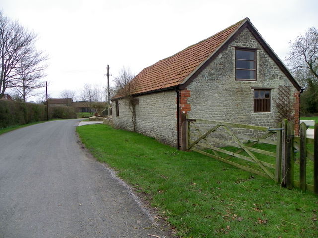
Little Wood Images

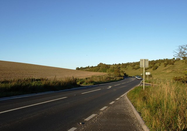
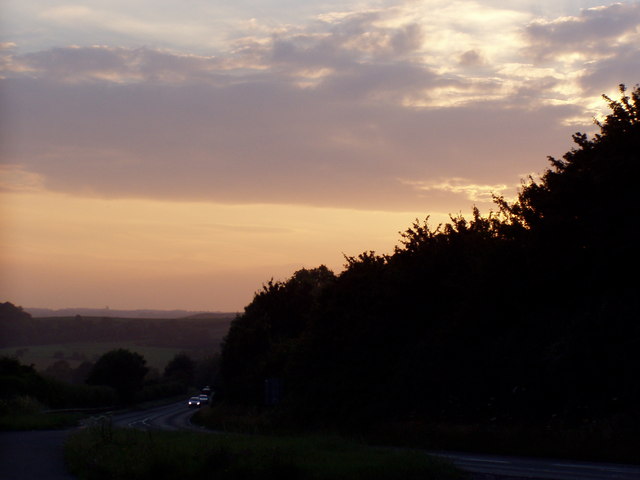
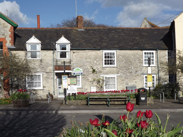
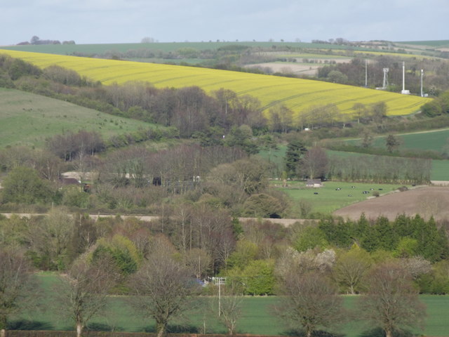
Images are sourced within 2km of 51.084447/-2.2419968 or Grid Reference ST8331. Thanks to Geograph Open Source API. All images are credited.

Mere : Chaddenwick Hill A303 Looking along Chaddenwick Hill.
Mere : Chaddenwick Hill A303
Looking along Chaddenwick Hill.
House near Barrow Street At one time this house was a bakery and there are still signs on the building, however, I can find no information about the bakery.  There is an Ordnance Survey bench mark on the north west face of the building.
House near Barrow Street
At one time this house was a bakery and there are still signs on the building, however, I can find no information about the bakery. There is an Ordnance Survey bench mark on the north west face of the building.
Bench Mark, Barrow Street The bench mark is on the bakery <a href="https://www.geograph.org.uk/photo/2301890">ST8430 : House near Barrow Street</a>  For further information on the bench mark and others in the area <span class="nowrap"><a title="http://www.bench-marks.org.uk/bm37252" rel="nofollow ugc noopener" href="http://www.bench-marks.org.uk/bm37252">Link</a><img style="margin-left:2px;" alt="External link" title="External link - shift click to open in new window" src="https://s1.geograph.org.uk/img/external.png" width="10" height="10"/></span>
Bench Mark, Barrow Street
The bench mark is on the bakery ST8430 : House near Barrow Street For further information on the bench mark and others in the area LinkExternal link
Farm building, White Hill Farm building at Wet Lane Farm.  There is an Ordnance Survey bench mark on the wall behind the down pipe.
Farm building, White Hill
Farm building at Wet Lane Farm. There is an Ordnance Survey bench mark on the wall behind the down pipe.
Bench Mark, White Hill The bench mark is tucked away behind the down pipe.  For a view of the building <a href="https://www.geograph.org.uk/photo/2301926">ST8230 : Farm building, White Hill</a> and for further information on the bench mark and others in the area <span class="nowrap"><a title="http://www.bench-marks.org.uk/bm37253" rel="nofollow ugc noopener" href="http://www.bench-marks.org.uk/bm37253">Link</a><img style="margin-left:2px;" alt="External link" title="External link - shift click to open in new window" src="https://s1.geograph.org.uk/img/external.png" width="10" height="10"/></span>
Bench Mark, White Hill
The bench mark is tucked away behind the down pipe. For a view of the building ST8230 : Farm building, White Hill and for further information on the bench mark and others in the area LinkExternal link
Laid hedge, White Hill Laid hedges are made by bending over the samplings of the growing bush at an angle of 45 degrees.  The bent saplings are woven around stakes driven into the ground at intervals of 1-2 yards.  The crest is crowned by a tightly woven layer of severed rods, known as hethers, which prevent the growing wood from springing erect.  Unwanted twigs and branches are removed.

To prevent it from running wild, a hedge needs this treatment every five to ten years.  Because hedge-laying is a skilled, expensive and time-consuming task, many hedges have been neglected.
Laid hedge, White Hill
Laid hedges are made by bending over the samplings of the growing bush at an angle of 45 degrees. The bent saplings are woven around stakes driven into the ground at intervals of 1-2 yards. The crest is crowned by a tightly woven layer of severed rods, known as hethers, which prevent the growing wood from springing erect. Unwanted twigs and branches are removed. To prevent it from running wild, a hedge needs this treatment every five to ten years. Because hedge-laying is a skilled, expensive and time-consuming task, many hedges have been neglected.
St Matthew's Church, White Hill A small well kept church on the junction of Wet Lane and Shaftesbury Road.
St Matthew's Church, White Hill
A small well kept church on the junction of Wet Lane and Shaftesbury Road.
Detail, St Matthew's Church The handle to the church door <a href="https://www.geograph.org.uk/photo/2302013">ST8230 : St Matthew's Church, White Hill</a>
Detail, St Matthew's Church
The handle to the church door ST8230 : St Matthew's Church, White Hill
Finger post, White Hill The black and white finger post stands opposite St Matthew's Church.
Finger post, White Hill
The black and white finger post stands opposite St Matthew's Church.
Mere Croquet Club Formed to make use of open space off Steep Street and preserve it from development when the bowls club moved elsewhere, this small ground accommodates a clubhouse, toilet block and boules as well as croquet.
Mere Croquet Club
Formed to make use of open space off Steep Street and preserve it from development when the bowls club moved elsewhere, this small ground accommodates a clubhouse, toilet block and boules as well as croquet.
The A303 at the foot of Chaddenwick Hill
Dusk Over Dorset The A303 taken at dusk from a layby at the turning to Barrow Street near Mere.
Dusk Over Dorset
The A303 taken at dusk from a layby at the turning to Barrow Street near Mere.
Mere Attractive stone cottages facing The Square in the heart of Mere.
<span class="nowrap"><a title="http://merewilts.org/" rel="nofollow ugc noopener" href="http://merewilts.org/">Link</a><img style="margin-left:2px;" alt="External link" title="External link - shift click to open in new window" src="https://s1.geograph.org.uk/img/external.png" width="10" height="10"/></span>
Mere
Attractive stone cottages facing The Square in the heart of Mere. LinkExternal link
East Hill, Mere Seen from the top of Castle Hill - a landscape of fields, hedgerows and undulating hills.
East Hill, Mere
Seen from the top of Castle Hill - a landscape of fields, hedgerows and undulating hills.
Mere, convenience store The Co-operative, on The Square; according to a plaque, once Queen Victoria Hall, 1899.
Mere, convenience store
The Co-operative, on The Square; according to a plaque, once Queen Victoria Hall, 1899.
Mere Post Office Post office and store on The Square.
Mere Post Office
Post office and store on The Square.
A303, east of Mere The A303 is a main trunk road running 92 miles between Basingstoke and Honiton. Along with the A30 and M3 it forms a major route between London and the South West. Much of the road is dual carriageway, but some stretches remain single and prone to congestion.

Wikipedia: <span class="nowrap"><a title="http://en.wikipedia.org/wiki/A303_road" rel="nofollow ugc noopener" href="http://en.wikipedia.org/wiki/A303_road">Link</a><img style="margin-left:2px;" alt="External link" title="External link - shift click to open in new window" src="https://s1.geograph.org.uk/img/external.png" width="10" height="10"/></span>
A303, east of Mere
The A303 is a main trunk road running 92 miles between Basingstoke and Honiton. Along with the A30 and M3 it forms a major route between London and the South West. Much of the road is dual carriageway, but some stretches remain single and prone to congestion. Wikipedia: LinkExternal link
A303 near Pinching Pierce Barn The A303 is a main trunk road running 92 miles between Basingstoke and Honiton. Along with the A30 and M3 it forms a major route between London and the South West. Much of the road is dual carriageway, but some stretches remain single and prone to congestion.

Wikipedia: <span class="nowrap"><a title="http://en.wikipedia.org/wiki/A303_road" rel="nofollow ugc noopener" href="http://en.wikipedia.org/wiki/A303_road">Link</a><img style="margin-left:2px;" alt="External link" title="External link - shift click to open in new window" src="https://s1.geograph.org.uk/img/external.png" width="10" height="10"/></span>
A303 near Pinching Pierce Barn
The A303 is a main trunk road running 92 miles between Basingstoke and Honiton. Along with the A30 and M3 it forms a major route between London and the South West. Much of the road is dual carriageway, but some stretches remain single and prone to congestion. Wikipedia: LinkExternal link
Show me another place!

Little Wood is located at Grid Ref: ST8331 (Lat: 51.084447, Lng: -2.2419968)

Unitary Authority: Wiltshire

Police Authority: Wiltshire

What 3 Words

///sofas.stiffly.bulk. Near Mere, Wiltshire

Nearby Locations

Little Wood

Related Wikis

Barrow Street, Wiltshire

Barrow Street is a hamlet in Wiltshire, England, about 1.9 miles (3.1 km) southeast of the town of Mere. The name comes from the early Bronze Age bowl...

Charnage Down Chalk Pit

Charnage Down Chalk Pit (grid reference ST837329) is a 3.7 hectare geological Site of Special Scientific Interest in Wiltshire, England, lying east of...
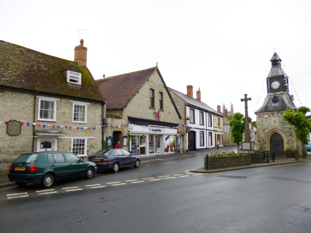
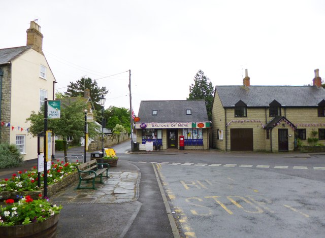
Mere, Wiltshire

Mere is a market town and civil parish in Wiltshire, England. It lies at the extreme southwestern tip of Salisbury Plain, close to the borders of Somerset...

Castle Hill, Mere

Castle Hill, also called Mere Castle, was a medieval fortification built by Richard, the Earl of Cornwall, in 1253 on a hill overlooking the town of Mere...

West Knoyle

West Knoyle is a small village and civil parish in southwest Wiltshire, England, close to the southern edge of Salisbury Plain. The village is about 2...

Dead Maid Quarry

Dead Maid Quarry (grid reference ST803324) is a 4,400 square metre geological Site of Special Scientific Interest in Mere, Wiltshire, England, notified...

Hang Wood

Hang Wood (grid reference ST861319) is a 20.3 hectare biological Site of Special Scientific Interest in Wiltshire, notified in 1986. == Sources == Natural...

White Sheet Hill

White Sheet Hill, also known as Whitesheet Hill, is a hill in the English county of Wiltshire. As one of the most westerly areas of downland in Britain...

Nearby Amenities

Located within 500m of 51.084447,-2.2419968
The data included in this document is from www.openstreetmap.org. The data is made available under ODbL.

Have you been to Little Wood?

Leave your review of Little Wood below (or comments, questions and feedback).