Wilden Covert

Wood, Forest in Worcestershire Wyre Forest

England

Wilden Covert

Captain's Pool A small lake situated on the edge of a large housing development. The lake is home to a variety of wildfowl and a popular venue for fishermen. The picture has been taken from the public footpath on the west side of the pool at SO 84732 74929.
Captain's Pool Credit: Martyn B

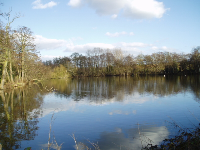
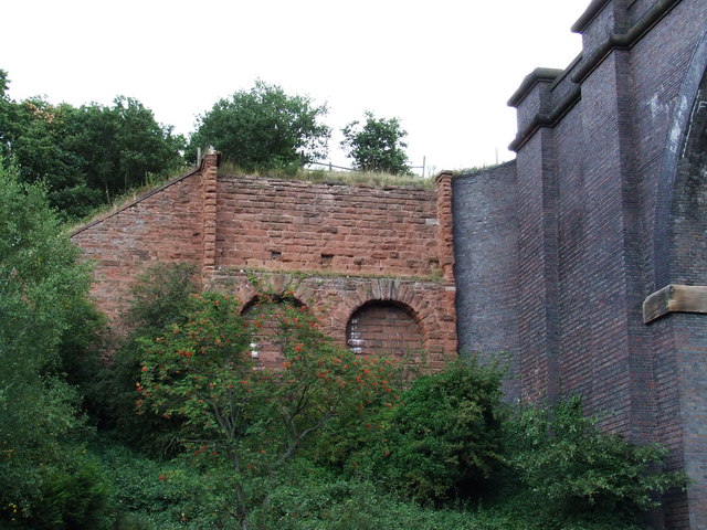
Wilden Covert is a picturesque woodland area located in Worcestershire, England. Situated in the heart of the county, it spans approximately 200 acres and is surrounded by the beautiful Worcestershire countryside. The woodland is known for its dense canopy of trees, creating a secluded and tranquil environment for nature enthusiasts.

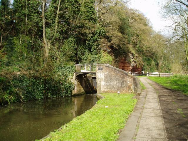
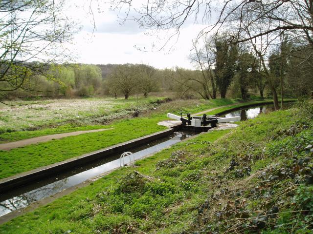
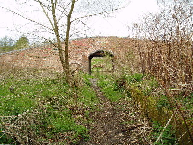
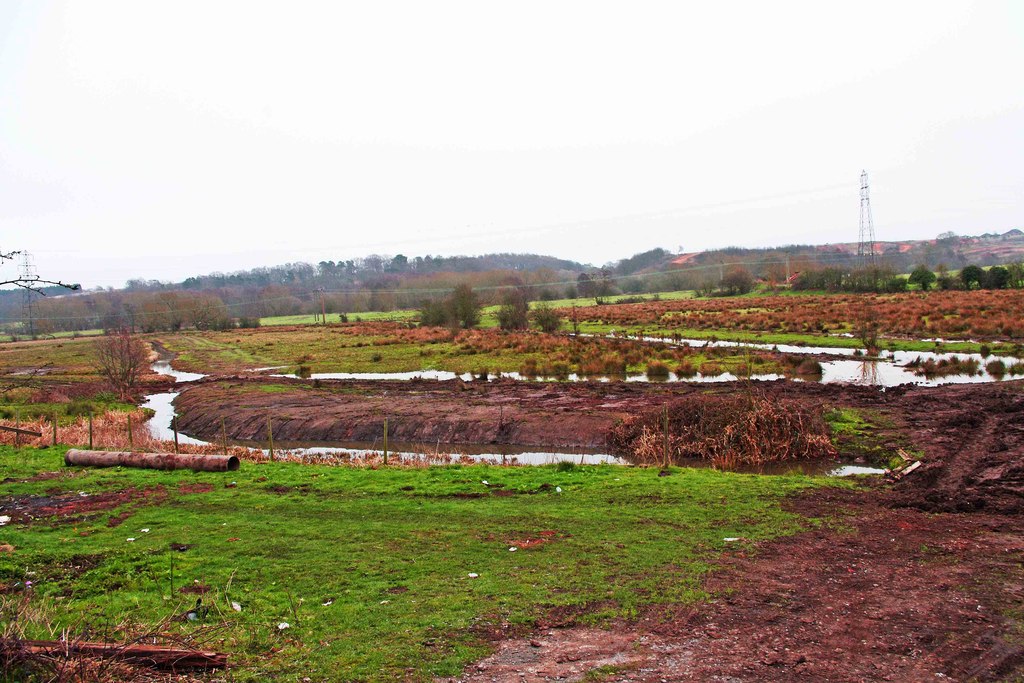
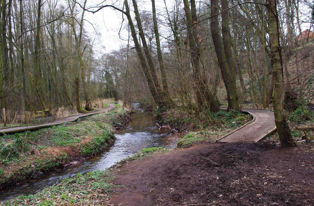
The area is predominantly covered by deciduous trees, including oak, beech, and ash, which provide a rich habitat for a variety of wildlife. Wilden Covert is home to a diverse range of flora and fauna, with wildflowers, ferns, and mosses adding to its natural beauty. The woodland also features a small stream that meanders through the area, offering a peaceful backdrop to the surroundings.

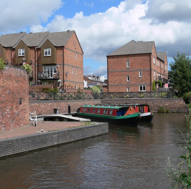
Wilden Covert is a popular destination for outdoor activities such as walking, hiking, and birdwatching. There are numerous well-maintained footpaths and trails that crisscross the woodland, allowing visitors to explore its hidden treasures. The area is also a haven for birdlife, with species such as woodpeckers, warblers, and owls frequently spotted among the trees.

Nature conservation is a priority in Wilden Covert, and efforts are made to preserve and protect the woodland's unique ecosystem. The site is managed by local authorities, who work closely with environmental organizations and volunteers to maintain its natural beauty.

Overall, Wilden Covert is a captivating woodland retreat, offering visitors the chance to immerse themselves in nature and experience the tranquility of Worcestershire's countryside. It is a true gem for those seeking a peaceful and scenic escape from the hustle and bustle of everyday life.

If you have any feedback on the listing, please let us know in the comments section below.

Wilden Covert Images

Images are sourced within 2km of 52.363386/-2.2489158 or Grid Reference SO8373. Thanks to Geograph Open Source API. All images are credited.

Captain's Pool A small lake situated on the edge of a large housing development. The lake is home to a variety of wildfowl and a popular venue for fishermen. The picture has been taken from the public footpath on the west side of the pool at SO 84732 74929.
Captain's Pool
A small lake situated on the edge of a large housing development. The lake is home to a variety of wildfowl and a popular venue for fishermen. The picture has been taken from the public footpath on the west side of the pool at SO 84732 74929.
Caldwall Bridge, Staffs.& Worcs. Canal Caldwall Lock has a split iron bridge to accommodate the rope in days of horse-drawn narrowboats. The sandstone cliff behind the lock is geologically interesting, being the southern tip of a bed of similar rock which stretches some 15 miles north. The picture was taken from grid reference SO 82765 75549.
Caldwall Bridge, Staffs.& Worcs. Canal
Caldwall Lock has a split iron bridge to accommodate the rope in days of horse-drawn narrowboats. The sandstone cliff behind the lock is geologically interesting, being the southern tip of a bed of similar rock which stretches some 15 miles north. The picture was taken from grid reference SO 82765 75549.
Falling Sands Lock, Staffs.& Worcs. Canal The picture shows the canal at a point close to the River Stour, the course of which can be seen running almost parallel to the canal. The Stour was navigable in the 18th century to a point a few hundred metres downstream from where the picture was taken, at SO 82774 74520.
Falling Sands Lock, Staffs.& Worcs. Canal
The picture shows the canal at a point close to the River Stour, the course of which can be seen running almost parallel to the canal. The Stour was navigable in the 18th century to a point a few hundred metres downstream from where the picture was taken, at SO 82774 74520.
Platt's Wharf, Staffs. & Worcs. Canal The bridge at Platt’s Wharf takes the canal towpath over a disused lock, which used to link the Staffs. & Worcs. Canal to the River Stour. The wall of the lock is clearly visible on the right. The picture was taken from SO 82506 73773, looking from the River Stour towards the canal, which is visible through the arch of the bridge.
Platt's Wharf, Staffs. & Worcs. Canal
The bridge at Platt’s Wharf takes the canal towpath over a disused lock, which used to link the Staffs. & Worcs. Canal to the River Stour. The wall of the lock is clearly visible on the right. The picture was taken from SO 82506 73773, looking from the River Stour towards the canal, which is visible through the arch of the bridge.
Severn Valley & mainline railways, Kidderminster Looking South from the footbridge at SO 83727 75926, a steam train slowly makes its way along the last few hundred metres into the Severn Valley railway station in Kidderminster. On the left is the main line between Kidderminster & Worcester. Towards the top right of the picture is the back of the stand at Kidderminster Harriers Football Club.
Severn Valley & mainline railways, Kidderminster
Looking South from the footbridge at SO 83727 75926, a steam train slowly makes its way along the last few hundred metres into the Severn Valley railway station in Kidderminster. On the left is the main line between Kidderminster & Worcester. Towards the top right of the picture is the back of the stand at Kidderminster Harriers Football Club.
Wilden, Alfred Baldwin Clocktower Memorial Wilden’s past was shaped by the industrialist Alfred Baldwin, father of the famous Prime Minister, Stanley Baldwin. The industries have now all but disappeared, but  the clocktower, erected at the entrance to the cemetery in 1910 by his grandson Oliver, is a lasting tribute to Alfred’s influence on the community. Taken from SO 82397 72204.
Wilden, Alfred Baldwin Clocktower Memorial
Wilden’s past was shaped by the industrialist Alfred Baldwin, father of the famous Prime Minister, Stanley Baldwin. The industries have now all but disappeared, but the clocktower, erected at the entrance to the cemetery in 1910 by his grandson Oliver, is a lasting tribute to Alfred’s influence on the community. Taken from SO 82397 72204.
Viaduct, Kidderminster The viaduct carrying the Kidderminster to Worcester mainline railway over the main A449 at Chester Road South, on the south side of Kidderminster. Picture taken from the public footpath alongside the railway at SO 8371 7464.
Viaduct, Kidderminster
The viaduct carrying the Kidderminster to Worcester mainline railway over the main A449 at Chester Road South, on the south side of Kidderminster. Picture taken from the public footpath alongside the railway at SO 8371 7464.
Mainline railway, near Kidderminster Picture taken from the north-west corner of the square looking south south-east towards Stanklyn Lane. The clearly defined path following the field boundary is not a right of way and thus does not appear on the Ordnance Survey maps of the area. The railway is the main line between Kidderminster and Worcester.
Mainline railway, near Kidderminster
Picture taken from the north-west corner of the square looking south south-east towards Stanklyn Lane. The clearly defined path following the field boundary is not a right of way and thus does not appear on the Ordnance Survey maps of the area. The railway is the main line between Kidderminster and Worcester.
Stanklyn Lane, near Kidderminster Taken from the bend in the road at SO 844 737 looking north-east, the picture shows Stanklyn Lane at the point where it remains perfectly straight for a distance of about 1 mile.
Stanklyn Lane, near Kidderminster
Taken from the bend in the road at SO 844 737 looking north-east, the picture shows Stanklyn Lane at the point where it remains perfectly straight for a distance of about 1 mile.
Carpet Town Although most of the large carpet factories in the centre of Kidderminster have been closed, demolished or converted to other uses carpet manufacturing still takes place in the town.  This is part of the modern factory of one of the well known brands slightly out of town beside the Stourport Road.
Carpet Town
Although most of the large carpet factories in the centre of Kidderminster have been closed, demolished or converted to other uses carpet manufacturing still takes place in the town. This is part of the modern factory of one of the well known brands slightly out of town beside the Stourport Road.
Brintons No. 8 The entrance to the factory one of the remaining large carpet manufacturers in Kidderminster.  Brintons have had factories at many sites within the town over the years, hence the number.  This entrance is right on the northern edge of the square and some of the buildings in the view are in the next square.
Brintons No. 8
The entrance to the factory one of the remaining large carpet manufacturers in Kidderminster. Brintons have had factories at many sites within the town over the years, hence the number. This entrance is right on the northern edge of the square and some of the buildings in the view are in the next square.
Storm Damage All that remains of the old viaduct, (made mostly of wood) that was blown down in a storm. The new viaduct is seen on the right of the picture.
Storm Damage
All that remains of the old viaduct, (made mostly of wood) that was blown down in a storm. The new viaduct is seen on the right of the picture.
Kidderminster Junction The view south from the footbridge with Kidderminster Junction Signal Box on the left.  The wooden fencing in the centre of the picture has been erected to mark the boundary between BR and the land to the right newly acquired by the Severn Valley Railway.  The original connection on to the Severn Valley Branch can be seen turning off to the right from the third track from the left (the down goods loop).  The new connection can just be seen between the two posts in the centre of the picture where one of the sidings has been re-aligned.  Compare this view with <a href="https://www.geograph.org.uk/photo/1534">SO8375 : Severn Valley & mainline railways, Kidderminster</a> taken a few feet to the left and 21 years later.
Kidderminster Junction
The view south from the footbridge with Kidderminster Junction Signal Box on the left. The wooden fencing in the centre of the picture has been erected to mark the boundary between BR and the land to the right newly acquired by the Severn Valley Railway. The original connection on to the Severn Valley Branch can be seen turning off to the right from the third track from the left (the down goods loop). The new connection can just be seen between the two posts in the centre of the picture where one of the sidings has been re-aligned. Compare this view with SO8375 : Severn Valley & mainline railways, Kidderminster taken a few feet to the left and 21 years later.
Private moorings On the Staffs & Worcs Canal in Kidderminster.
Private moorings
On the Staffs & Worcs Canal in Kidderminster.
Caldwall Lock On the Staffordshire & Worcestershire Canal in Kidderminster.
Caldwall Lock
On the Staffordshire & Worcestershire Canal in Kidderminster.
Caldwall Lock On the Staffordshire & Worcestershire Canal in Kidderminster.
Caldwall Lock
On the Staffordshire & Worcestershire Canal in Kidderminster.
Viaduct This carries the Severn Valley Steam Railway across the River Stour and the Staffs & Worcs Canal.
Viaduct
This carries the Severn Valley Steam Railway across the River Stour and the Staffs & Worcs Canal.
Viaduct This carries the Severn Valley Steam Railway across the River Stour and the Staffs & Worcs Canal.
Viaduct
This carries the Severn Valley Steam Railway across the River Stour and the Staffs & Worcs Canal.
Show me another place!

Wilden Covert is located at Grid Ref: SO8373 (Lat: 52.363386, Lng: -2.2489158)

Administrative County: Worcestershire

District: Wyre Forest

Police Authority: West Mercia

What 3 Words

///pies.hulk.broker. Near Kidderminster, Worcestershire

Nearby Locations

Stour Hill Wilden Covert

Related Wikis

Wilden Marsh

Wilden Marsh is a nature reserve of the Worcestershire Wildlife Trust. It is situated between Kidderminster and Stourport-on-Severn, in Worcestershire...

Summerfield Research Station

The Summerfield Research Station is a development and production site for solid rocket motors in the United Kingdom officially formed on 1 September 1951...

Foley Park Halt railway station

Foley Park Halt was the first stop on the GWR Kidderminster to Bewdley loop line which now forms part of the Severn Valley Railway. It was located in the...

Spennells Valley

Spennells Valley is a local nature reserve in south-east Kidderminster, in Worcestershire, England. == Description == It was declared a local nature reserve...

Wilden, Worcestershire

Wilden is a small village about 1 mile north east of Stourport-on-Severn, Worcestershire. It is in the Stour valley and both the River Stour and the Staffordshire...

Chain Wire Club Ground

The Chain Wire Club Ground in Stourport-on-Severn, Worcestershire was used for first-class cricket by Worcestershire County Cricket Club on a single occasion...

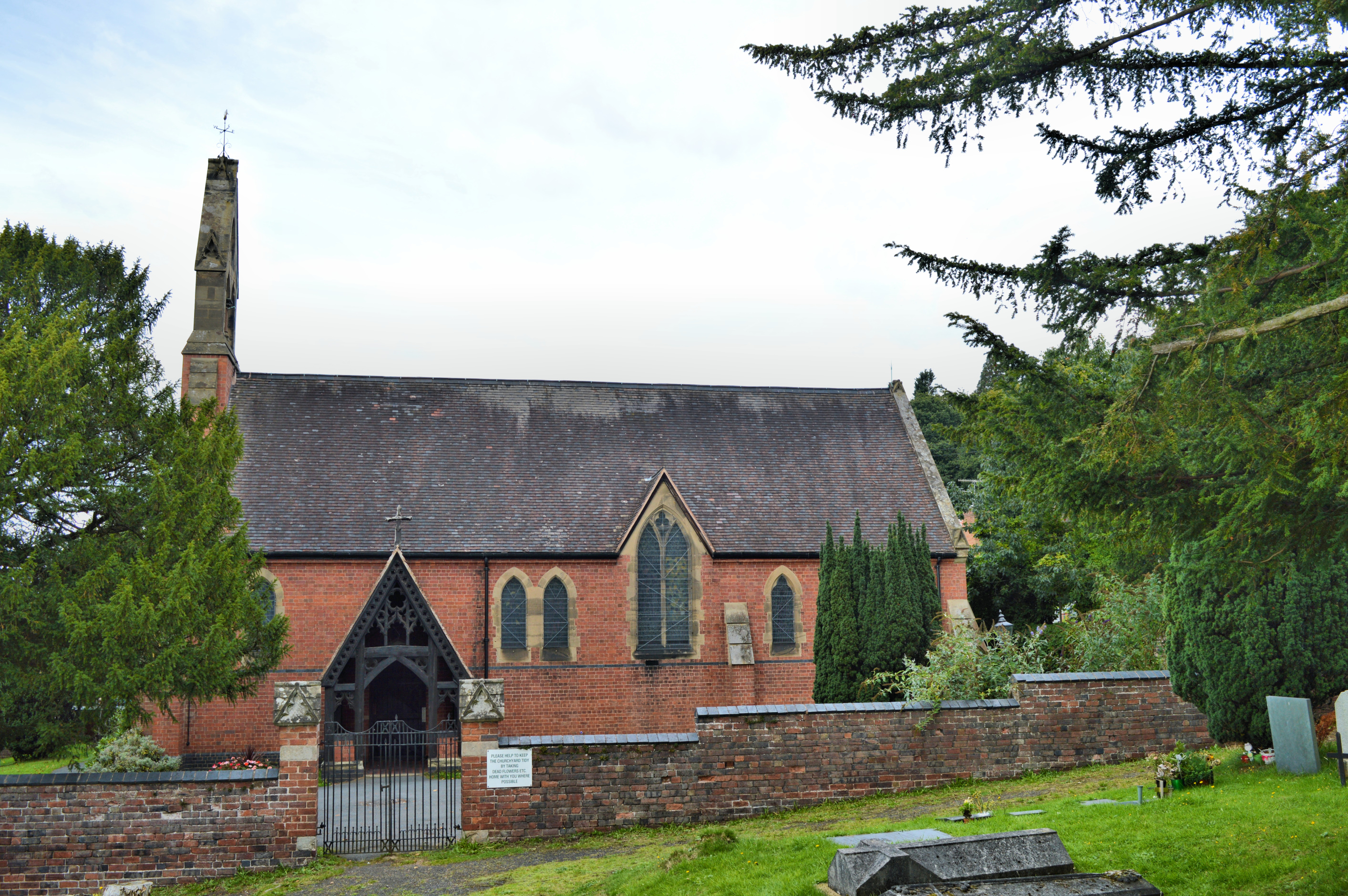
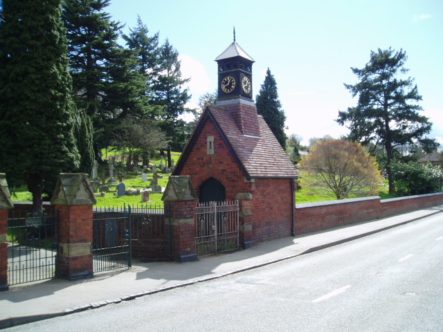
Church of All Saints, Wilden

All Saints Church in Wilden, Worcestershire about one mile to the north east of Stourport. It was designed by William Hopkins with funds provided by Alfred...

Aggborough Stadium

Aggborough Stadium is a football stadium in Kidderminster, England. It is the home ground of Kidderminster Harriers, and has a capacity of 7,000, of which...

Nearby Amenities

Located within 500m of 52.363386,-2.2489158
Power: tower
Lat/Long: 52.3619164/-2.2556841
Power: tower
Lat/Long: 52.3645097/-2.2531982
Power: pole
Lat/Long: 52.3624625/-2.2556802
Power: pole
Lat/Long: 52.3628375/-2.2558427
Power: pole
Lat/Long: 52.3648087/-2.2541775
The data included in this document is from www.openstreetmap.org. The data is made available under ODbL.

Have you been to Wilden Covert?

Leave your review of Wilden Covert below (or comments, questions and feedback).