Stour Hill
Hill, Mountain in Worcestershire Wyre Forest
England
Stour Hill
Stour Hill, located in Worcestershire, England, is a prominent hill that forms part of the Malvern Hills range. It stands at an elevation of approximately 271 meters (889 feet) above sea level. The hill offers breathtaking panoramic views of the surrounding countryside, including the River Severn and the neighboring counties of Herefordshire and Gloucestershire.
Stour Hill is known for its rich historical and geological significance. The hill is composed primarily of ancient Precambrian rocks, which were formed over 600 million years ago. These rocks consist of igneous and metamorphic formations, such as gneiss and schist, which provide a unique insight into the Earth's distant past.
The hill is also home to a diverse range of flora and fauna. The surrounding area is characterized by a mix of woodland and open grassland, creating habitats for a variety of plant and animal species. Visitors to Stour Hill may come across native wildlife, including rabbits, foxes, and numerous bird species, such as kestrels and buzzards.
Stour Hill is a popular destination for hikers and nature enthusiasts. It offers a network of well-maintained footpaths and trails, allowing visitors to explore the hill's natural beauty at their own pace. The hill's location within the Malvern Hills Area of Outstanding Natural Beauty ensures that it is well-preserved and protected.
Overall, Stour Hill is a picturesque and historically significant hill in Worcestershire, offering visitors the opportunity to immerse themselves in nature, enjoy stunning views, and discover the geological wonders of the region.
If you have any feedback on the listing, please let us know in the comments section below.
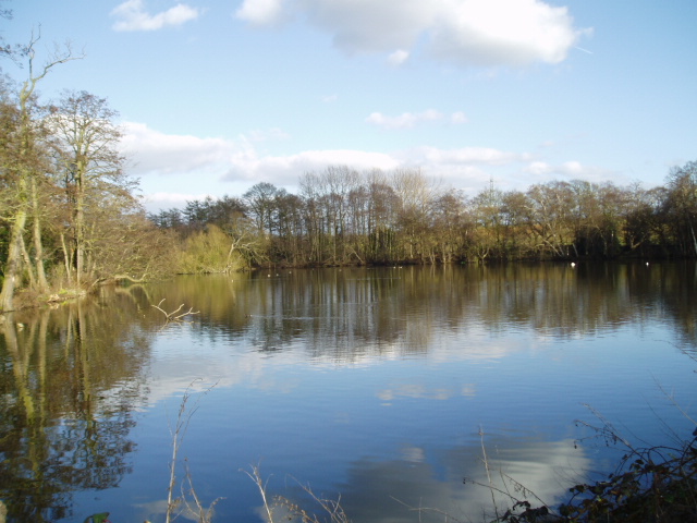
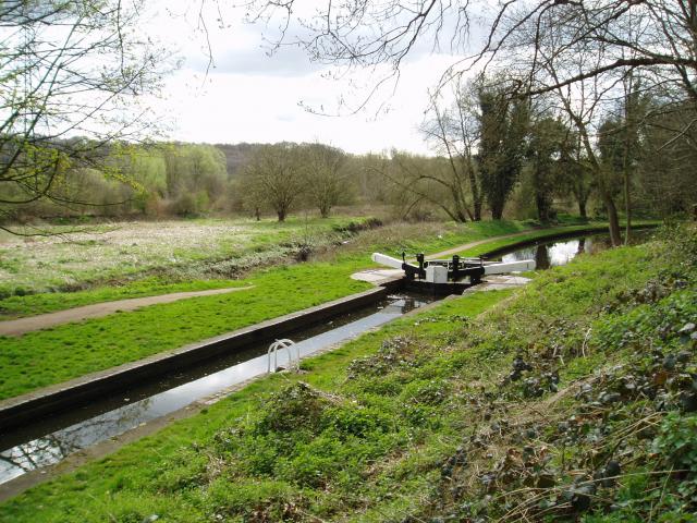
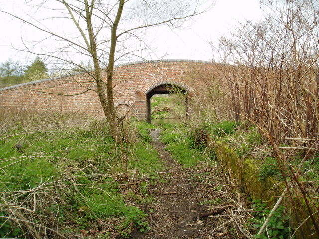
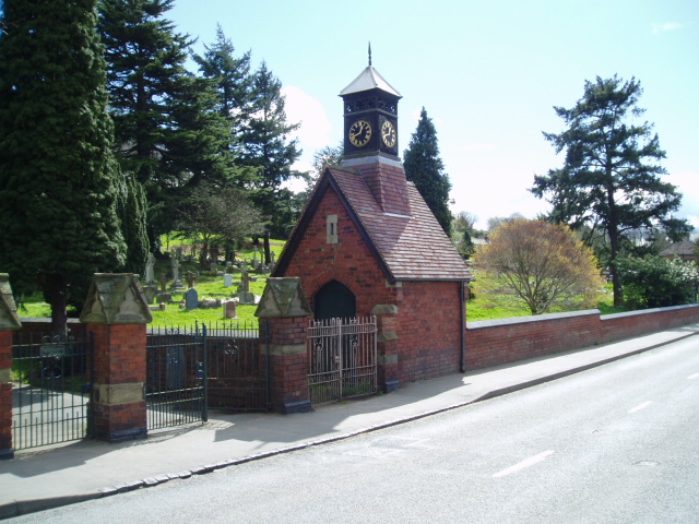
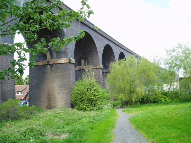
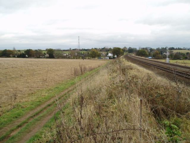
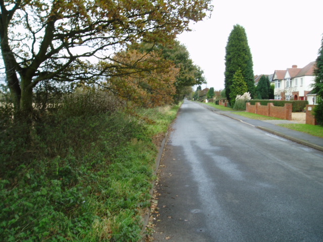
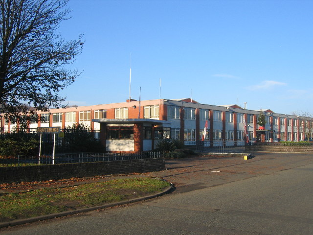
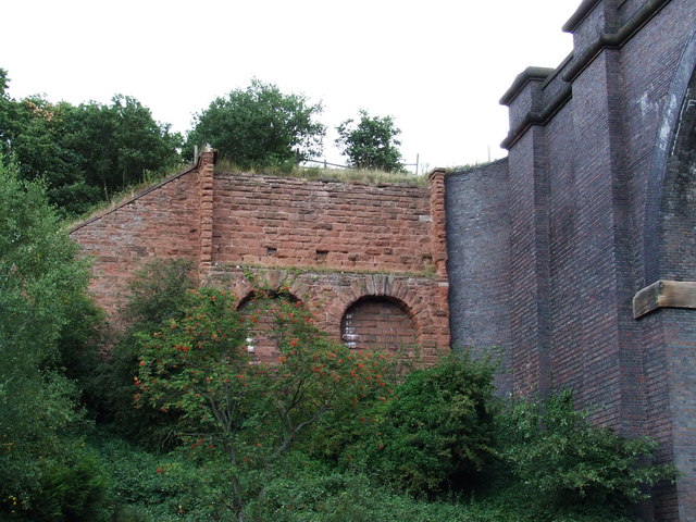
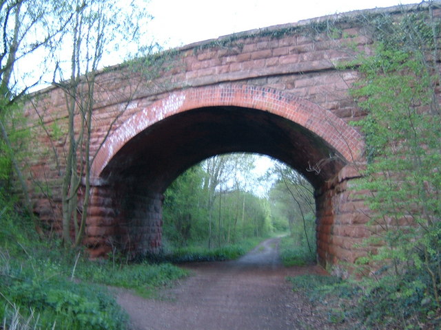
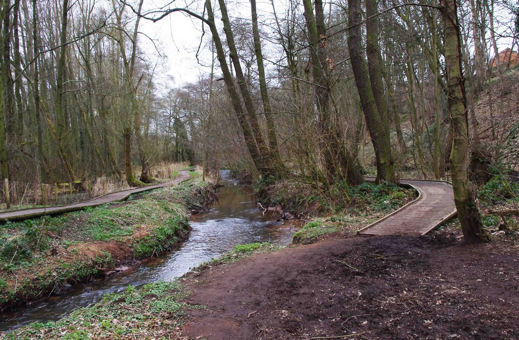
Stour Hill Images
Images are sourced within 2km of 52.359213/-2.2498761 or Grid Reference SO8373. Thanks to Geograph Open Source API. All images are credited.


Stour Hill is located at Grid Ref: SO8373 (Lat: 52.359213, Lng: -2.2498761)
Administrative County: Worcestershire
District: Wyre Forest
Police Authority: West Mercia
What 3 Words
///they.played.going. Near Stourport-on-Severn, Worcestershire
Nearby Locations
Related Wikis
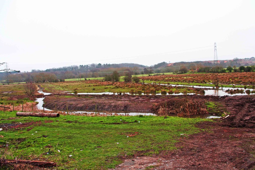
Wilden Marsh
Wilden Marsh is a nature reserve of the Worcestershire Wildlife Trust. It is situated between Kidderminster and Stourport-on-Severn, in Worcestershire...

Summerfield Research Station
The Summerfield Research Station is a development and production site for solid rocket motors in the United Kingdom officially formed on 1 September 1951...

Wilden, Worcestershire
Wilden is a small village about 1 mile north east of Stourport-on-Severn, Worcestershire. It is in the Stour valley and both the River Stour and the Staffordshire...
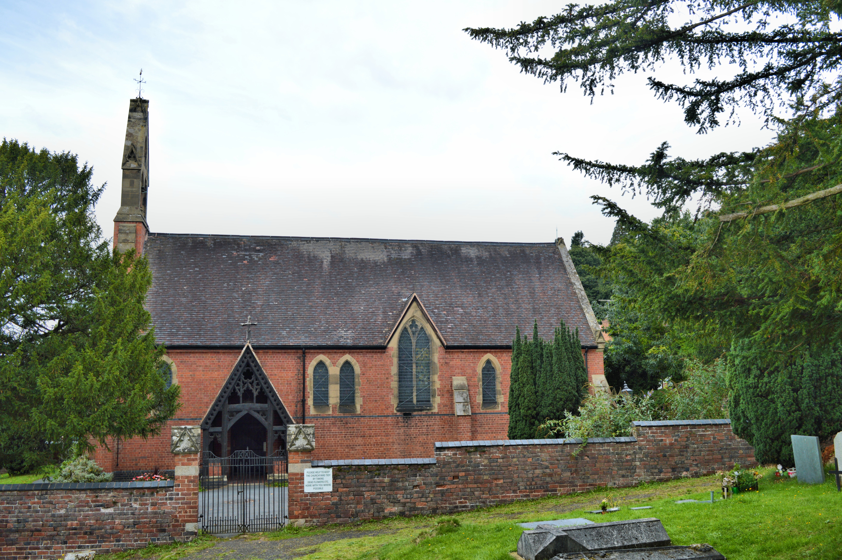
Church of All Saints, Wilden
All Saints Church in Wilden, Worcestershire about one mile to the north east of Stourport. It was designed by William Hopkins with funds provided by Alfred...
Foley Park Halt railway station
Foley Park Halt was the first stop on the GWR Kidderminster to Bewdley loop line which now forms part of the Severn Valley Railway. It was located in the...
Spennells Valley
Spennells Valley is a local nature reserve in south-east Kidderminster, in Worcestershire, England. == Description == It was declared a local nature reserve...
Chain Wire Club Ground
The Chain Wire Club Ground in Stourport-on-Severn, Worcestershire was used for first-class cricket by Worcestershire County Cricket Club on a single occasion...
The Stourport High School and Sixth Form Centre
The Stourport High School & VIth Form Centre, formerly known as the Stourport High School and Language College, opened to students in 1956 as an 11-18...
Nearby Amenities
Located within 500m of 52.359213,-2.2498761Have you been to Stour Hill?
Leave your review of Stour Hill below (or comments, questions and feedback).