Garden Hill

Hill, Mountain in Aberdeenshire

Scotland

Garden Hill

Bridge over A90
Bridge over A90 Credit: Weiers Coetser

Garden Hill is a prominent hill located in Aberdeenshire, Scotland. Situated in the eastern part of the county, it is part of the picturesque landscape that characterizes the region. Standing at an elevation of approximately 604 meters (1,982 feet), Garden Hill is considered one of the highest points in Aberdeenshire.

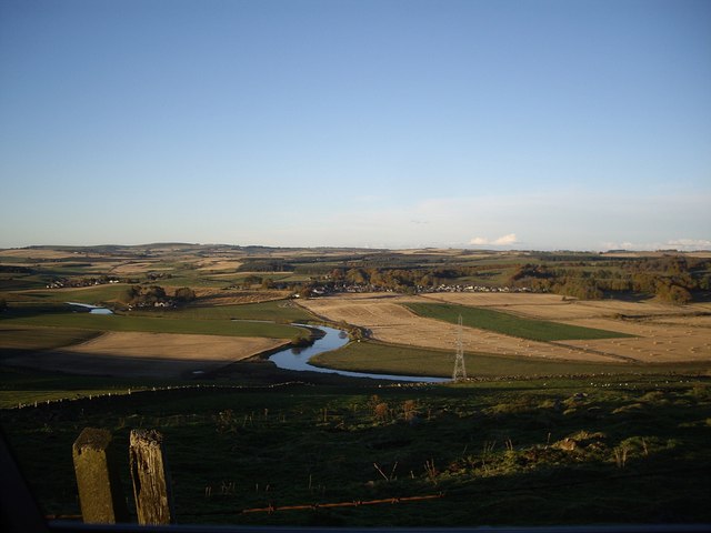
The hill offers breathtaking panoramic views of the surrounding countryside, with its slopes covered in lush greenery and heather. The terrain is typically rugged, featuring rocky outcrops and steep inclines, adding to the hill's natural charm and appeal.

Garden Hill is a popular destination for hikers and outdoor enthusiasts who are drawn to its challenging trails and stunning vistas. The hill is accessible via several well-marked hiking paths that cater to different skill levels, allowing visitors to explore its beauty at their own pace. As one ascends the hill, they are rewarded with ever-expanding views of the Aberdeenshire countryside, including rolling hills, meandering rivers, and quaint villages.

The hill is also home to a variety of wildlife, including birds, deer, and other small mammals. Nature lovers can often spot these creatures in their natural habitat, adding to the allure of Garden Hill.

Overall, Garden Hill offers a remarkable outdoor experience for those seeking tranquility, adventure, and a chance to immerse themselves in the natural splendor that Aberdeenshire has to offer.

If you have any feedback on the listing, please let us know in the comments section below.
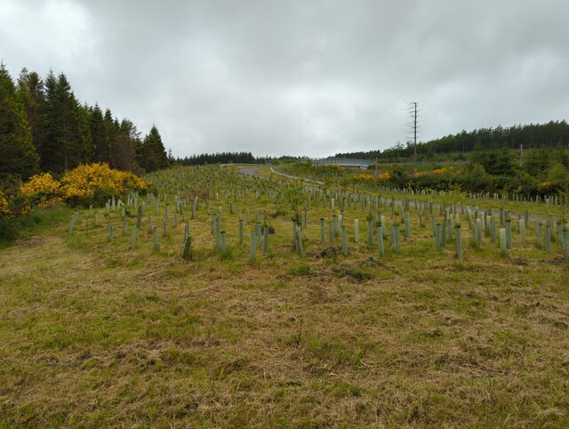
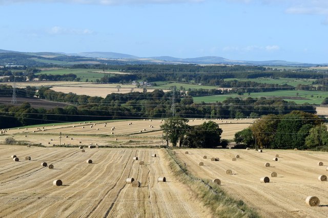
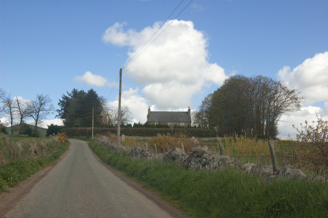
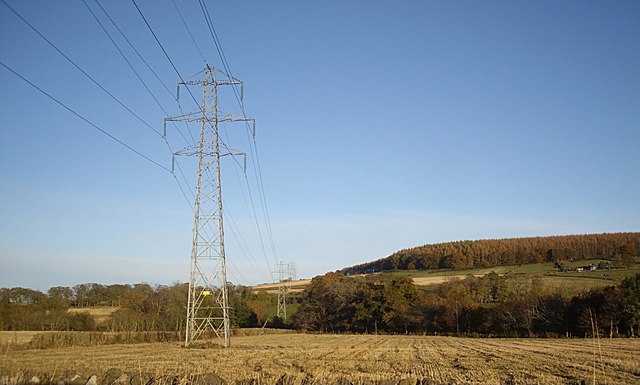
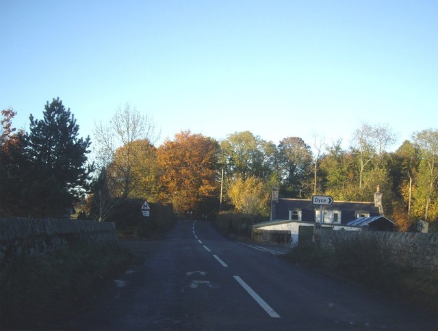
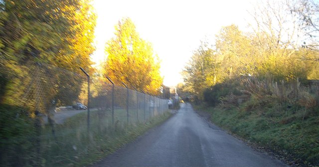
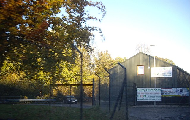
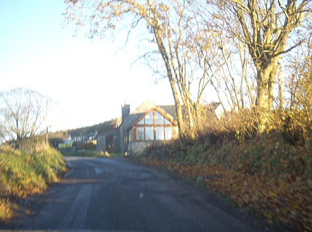
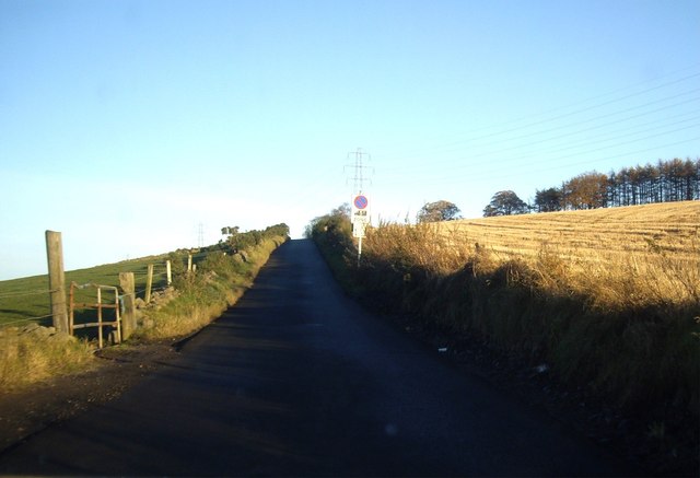
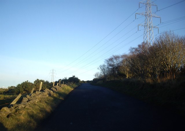
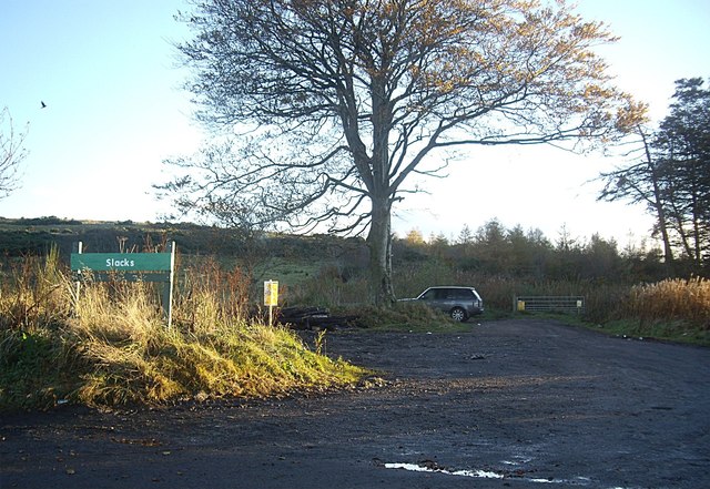
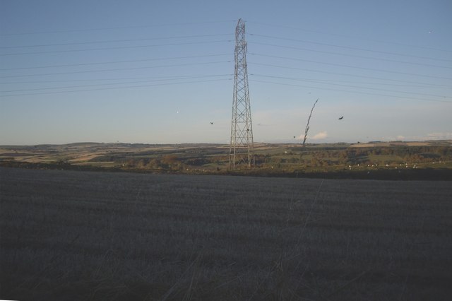
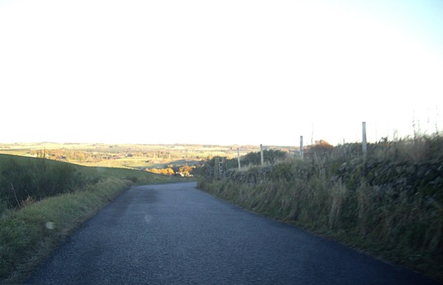
Garden Hill Images

Images are sourced within 2km of 57.231224/-2.2818179 or Grid Reference NJ8315. Thanks to Geograph Open Source API. All images are credited.

Bridge over A90
Bridge over A90
Harvested fields south of Bendauch farm 'Bendauch' means 'hill farm' according to Celtic Place-names in Aberdeenshire by John Milne.
Harvested fields south of Bendauch farm
'Bendauch' means 'hill farm' according to Celtic Place-names in Aberdeenshire by John Milne.
Boundary wall at the Slacks plantation A 'slack' is a hollow according to Celtic Place-names in Aberdeenshire by John Milne.
Boundary wall at the Slacks plantation
A 'slack' is a hollow according to Celtic Place-names in Aberdeenshire by John Milne.
Aberdeenshire winter fields... ...with Slacks plantation in the background.
Aberdeenshire winter fields...
...with Slacks plantation in the background.
Cairn at Slacks Wood See Canmore listing 19558 for more: <span class="nowrap"><a title="https://canmore.org.uk/site/19558/the-slacks" rel="nofollow ugc noopener" href="https://canmore.org.uk/site/19558/the-slacks">Link</a><img style="margin-left:2px;" alt="External link" title="External link - shift click to open in new window" src="https://s1.geograph.org.uk/img/external.png" width="10" height="10"/></span> .
Cairn at Slacks Wood
See Canmore listing 19558 for more: LinkExternal link .
Sprouting field An extremely large field, part of Kirkton Farm
Sprouting field
An extremely large field, part of Kirkton Farm
View towards Kirkton Farm
Power lines overhead B979 Heading off over the flank of Blue Hill.
Power lines overhead B979
Heading off over the flank of Blue Hill.
Dyce junction from B979 Near Kinaldie.
Dyce junction from B979
Near Kinaldie.
Minor4 road to Dyce
Minor4 road to Dyce
'Busy Outdoors' of Kinella Camping and caravanning suppliers.
'Busy Outdoors' of Kinella
Camping and caravanning suppliers.
A house on the corner Of the minor road from the B979 to Dyce.
A house on the corner
Of the minor road from the B979 to Dyce.
Minor road up north flank of Blue Hill With power lines crossing the road ahead.
Minor road up north flank of Blue Hill
With power lines crossing the road ahead.
View north to the River Don From the minor road on the north flanj of Blue Hill.
View north to the River Don
From the minor road on the north flanj of Blue Hill.
Power lines over minor road On north flank of Blue Hill.
Power lines over minor road
On north flank of Blue Hill.
Entrance to 'The Slacks' on Blue Hill
Electricity Pylon north of 'The Slacks' From the minor road over the hill.
Electricity Pylon north of 'The Slacks'
From the minor road over the hill.
Downhill towards Dyce From 'The Slacks' on Blue Hill.
Downhill towards Dyce
From 'The Slacks' on Blue Hill.
Show me another place!

Garden Hill is located at Grid Ref: NJ8315 (Lat: 57.231224, Lng: -2.2818179)

Unitary Authority: Aberdeenshire

Police Authority: North East

What 3 Words

///stun.carpentry.eyelashes. Near Blackburn, Aberdeenshire

Related Wikis

Kinaldie railway station

Kinaldie railway station was a railway station in Kinaldie, Aberdeenshire. == History == The station was opened in November 1854 on the Great North of...

Hatton of Fintray

Hatton of Fintray, commonly referred to as Fintray, is a village on the River Don in Aberdeenshire, Scotland, in the parish of Fintray. It was a textile...

Fintray Hillclimb

Fintray House Hillclimb is a speed motorsport event held near Hatton of Fintray, in Aberdeenshire, Scotland. Each event is a separate round of the Scottish...

Blackburn, Aberdeenshire

Blackburn is a rapidly growing village northwest of Aberdeen, Scotland, and is situated in Aberdeenshire. Local amenities include an industrial estate...

Nearby Amenities

Located within 500m of 57.231224,-2.2818179
Design: barrel
Power: tower
Source: bing
Lat/Long: 57.227154/-2.2782981
Design: barrel
Power: tower
Source: bing
Lat/Long: 57.2270865/-2.2848026
Power: pole
Lat/Long: 57.2278526/-2.2817111
Power: pole
Lat/Long: 57.2276164/-2.2814715
Power: pole
Lat/Long: 57.229723/-2.2784464
Power: pole
Lat/Long: 57.2302121/-2.2773663
Power: pole
Lat/Long: 57.2290142/-2.2747351
Power: pole
Lat/Long: 57.2292164/-2.2754193
Power: pole
Lat/Long: 57.2294274/-2.2761766
Power: pole
Lat/Long: 57.229593/-2.2767685
Power: pole
Lat/Long: 57.2308099/-2.2779043
Power: pole
Lat/Long: 57.2314033/-2.2784119
Power: pole
Lat/Long: 57.2306604/-2.2795448
Power: pole
Lat/Long: 57.2310593/-2.2789398
Power: pole
Lat/Long: 57.2318911/-2.2775714
Power: pole
Lat/Long: 57.2323801/-2.2766963
Power: pole
Lat/Long: 57.2328757/-2.2758274
Power: pole
Lat/Long: 57.2333746/-2.2749625
Give Way
Direction: backward
Lat/Long: 57.2276346/-2.2820511
The data included in this document is from www.openstreetmap.org. The data is made available under ODbL.

Have you been to Garden Hill?

Leave your review of Garden Hill below (or comments, questions and feedback).