Belle Vue

Hill, Mountain in Shropshire

England

Belle Vue

Pasture by Ivetsey Bank Farm in Staffordshire North of Bishopswood.
Pasture by Ivetsey Bank Farm in Staffordshire Credit: Roger D Kidd

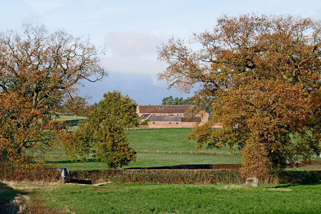
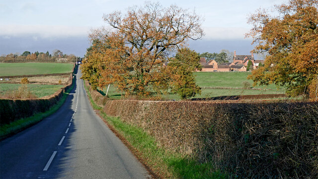
Belle Vue is a picturesque hill located in Shropshire, England. Situated on the outskirts of the market town of Shrewsbury, Belle Vue stands at an elevation of approximately 200 meters (650 feet) above sea level. With its commanding position, it offers breathtaking panoramic views of the surrounding countryside.

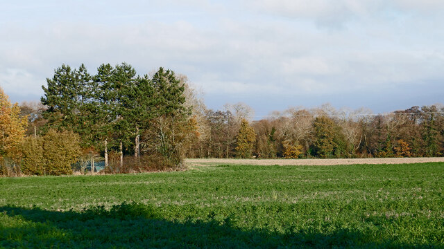
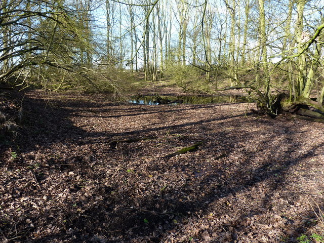
Covered in lush greenery, Belle Vue is a haven for nature enthusiasts and hikers. The hill is home to a variety of flora and fauna, including wildflowers, oak trees, and numerous bird species. It provides an ideal setting for walking, picnicking, and exploring the great outdoors.

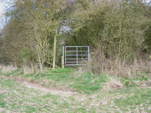
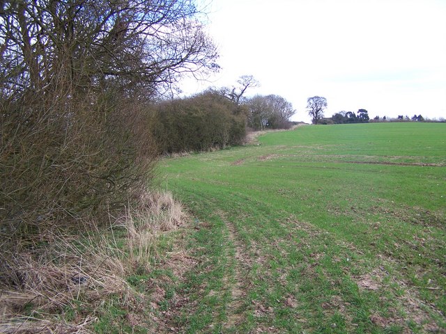
One of the notable features of Belle Vue is its well-maintained footpaths and trails, making it easily accessible for visitors of all ages and abilities. The paths wind their way up the hill, leading to the summit where a viewing platform offers stunning vistas of the Shropshire Hills Area of Outstanding Natural Beauty.

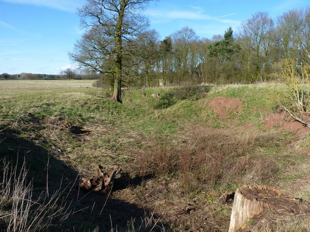
Aside from its natural beauty, Belle Vue also holds historical significance. It is believed to have been a settlement during the Iron Age and has remnants of ancient earthworks. Additionally, the hill's location near Shrewsbury has made it a strategic vantage point throughout history, with evidence of military fortifications dating back centuries.

Belle Vue is a popular destination for locals and tourists alike, offering a peaceful and serene retreat from the bustling town below. Whether it's enjoying the breathtaking views, exploring the hill's natural wonders, or immersing oneself in its rich history, Belle Vue is a must-visit for anyone seeking a tranquil escape in the heart of Shropshire.

If you have any feedback on the listing, please let us know in the comments section below.
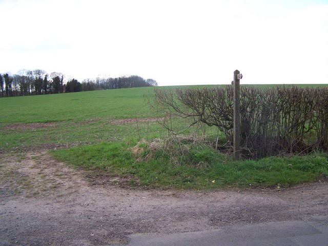
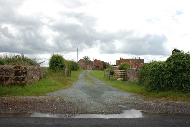
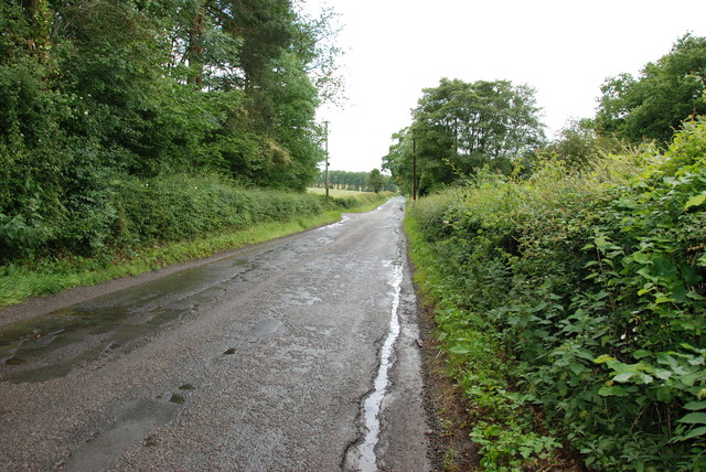
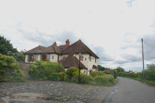
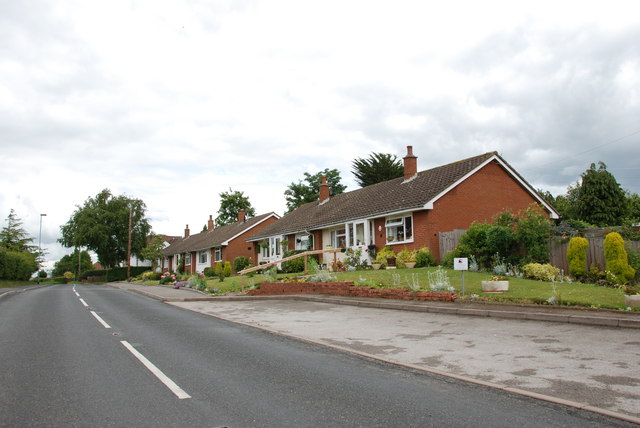
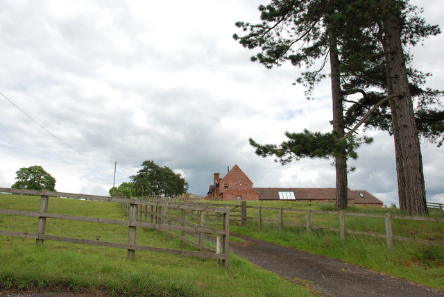
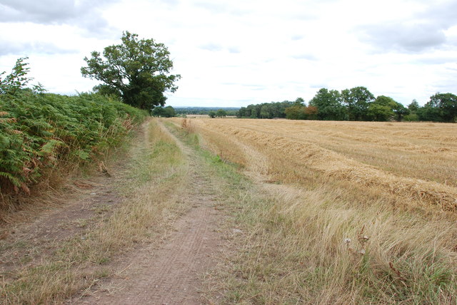
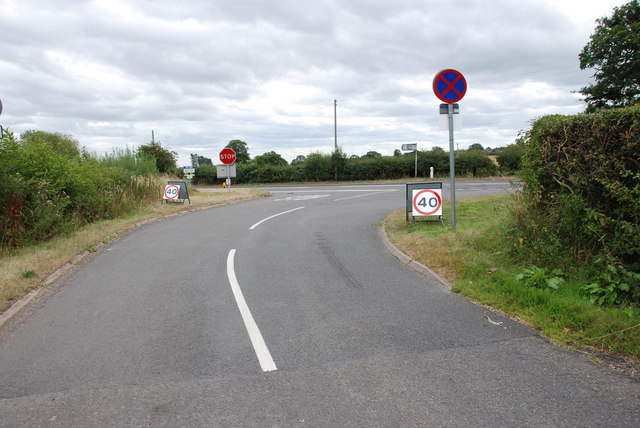
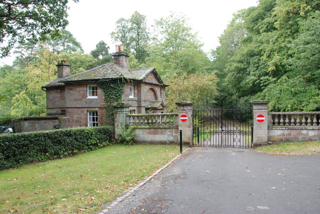
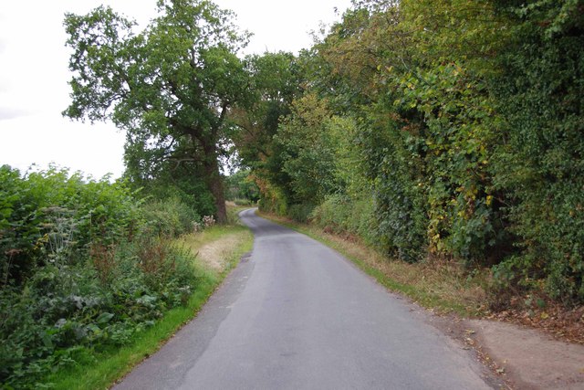
Belle Vue Images

Images are sourced within 2km of 52.678702/-2.2515937 or Grid Reference SJ8309. Thanks to Geograph Open Source API. All images are credited.

Pasture by Ivetsey Bank Farm in Staffordshire North of Bishopswood.
Pasture by Ivetsey Bank Farm in Staffordshire
North of Bishopswood.
Ivetsey Bank Road north of Bishopswood in Staffordshire Looking north towards the A5 Watling Street near Ivetsey Bank. Ivetsey Bank Farm buildings can be seen to the right of the road.
Ivetsey Bank Road north of Bishopswood in Staffordshire
Looking north towards the A5 Watling Street near Ivetsey Bank. Ivetsey Bank Farm buildings can be seen to the right of the road.
Farmland and woodland north of Bishopswood, Staffordshire Looking north-east from Ivetsey Bank Road.
Farmland and woodland north of Bishopswood, Staffordshire
Looking north-east from Ivetsey Bank Road.
Drainage ditch and hedge near White Ladies Priory
Old fishpool in copse near White Ladies One of several shallow pools in the copse, which were presumably attached to the nearby priory, and suggest they supplied fish for the residents
Old fishpool in copse near White Ladies
One of several shallow pools in the copse, which were presumably attached to the nearby priory, and suggest they supplied fish for the residents
Earthworks to the west of White Ladies Priory One of a number of deep excavations in fields and the nearby copse; they were presumably associated with the Priory in its day, although the purpose isn't entirely clear. Those in the copse still hold water, albeit shallow, so may have been fishponds <a href="https://www.geograph.org.uk/photo/2322003">SJ8207 : Old fishpool in copse near White Ladies</a>
Earthworks to the west of White Ladies Priory
One of a number of deep excavations in fields and the nearby copse; they were presumably associated with the Priory in its day, although the purpose isn't entirely clear. Those in the copse still hold water, albeit shallow, so may have been fishponds SJ8207 : Old fishpool in copse near White Ladies
Footpath Junction At Ivetsey Bank
Footpath To Ivetsey Bank
Footpath Near Ivetsey Bank
Offoxey Farm
Offoxey Farm
Offoxey Road, looking east to Bishops Wood
House on Offoxey Road, Bishops Wood
Housing Association Bungalows, Bishops Wood
Ivetsey Bank Farm
Ivetsey Bank Farm
Another Crop Gathered In It happened to be the V Festival weekend, and you didn't need tickets.
Another Crop Gathered In
It happened to be the V Festival weekend, and you didn't need tickets.
Approaching the A5 It was V Festival weekend and the 40mph signs were all along the A5.
Approaching the A5
It was V Festival weekend and the 40mph signs were all along the A5.
Gatehouse Weston Park This Gatehouse is at the eastern side of Weston Park, alongside the A5
Gatehouse Weston Park
This Gatehouse is at the eastern side of Weston Park, alongside the A5
Shackerley Lane, looking southwest Photographed from near the footpath which leads off the lane, and gives access to White Ladies Priory.
Shackerley Lane, looking southwest
Photographed from near the footpath which leads off the lane, and gives access to White Ladies Priory.
Show me another place!

Belle Vue is located at Grid Ref: SJ8309 (Lat: 52.678702, Lng: -2.2515937)

Unitary Authority: Shropshire

Police Authority: West Mercia

What 3 Words

///swerves.moral.offstage. Near Tong, Shropshire

Nearby Locations

Belle Vue Bishops Wood

Related Wikis

Bishops Wood

Bishops Wood, or Bishopswood (grid reference SJ835097) is a small village on the Staffordshire border with Shropshire. It is home to the Royal Oak public...

Boscobel, Shropshire

Boscobel is a civil parish in the east of Shropshire, England, on the border with Staffordshire. To the north is the Staffordshire village of Bishops Wood...

Boscobel House

Boscobel House (grid reference SJ837082) is a Grade II* listed building in the parish of Boscobel in Shropshire. It has been, at various times, a farmhouse...

Royal Oak

The Royal Oak was the English oak tree within which the future King Charles II of England hid to escape the Roundheads following the Battle of Worcester...

Nearby Amenities

Located within 500m of 52.678702,-2.2515937
Kindergarten
Source: visual survey;estimate
Lat/Long: 52.6794117/-2.252434
The data included in this document is from www.openstreetmap.org. The data is made available under ODbL.

Have you been to Belle Vue?

Leave your review of Belle Vue below (or comments, questions and feedback).