Bishops Wood

Settlement in Staffordshire South Staffordshire

England

Bishops Wood

Bradford Arms
Bradford Arms Credit: P Gaskell

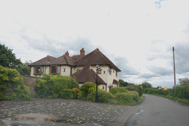
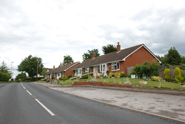
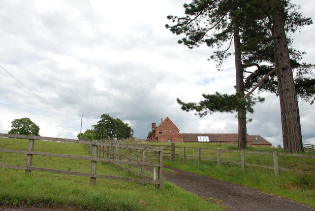
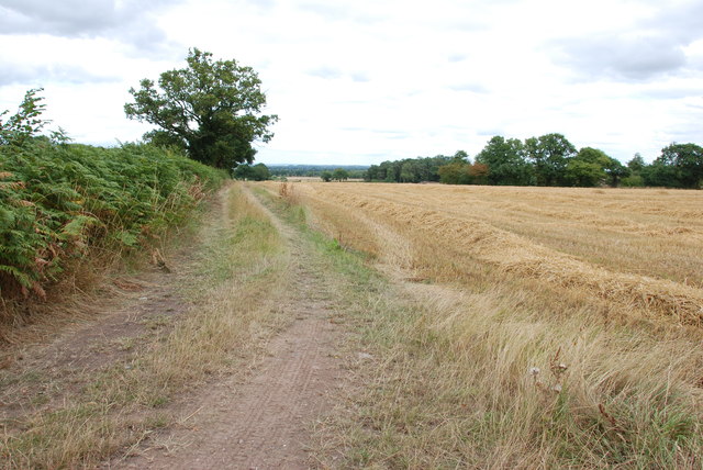
Bishops Wood is a small village located in the county of Staffordshire, England. It sits on the western edge of Cannock Chase, an Area of Outstanding Natural Beauty known for its diverse wildlife and picturesque landscapes. The village is situated approximately 7 miles east of Stafford, the county town, and is surrounded by rolling hills and woodland.

The history of Bishops Wood can be traced back to the Domesday Book, where it is mentioned as "Wude" or "Wood". The village takes its name from the Bishops of Lichfield, who owned the land in medieval times. Today, Bishops Wood retains its rural charm, with a population of around 300 residents.

The village itself consists of a scattering of traditional stone houses, many of which date back to the 18th and 19th centuries. It is a close-knit community, with a primary school, a village hall, and a local pub serving as the social hub. The surrounding countryside offers numerous opportunities for outdoor activities such as hiking, cycling, and horse riding.

One of the notable attractions in Bishops Wood is the Bishops Wood Environmental Centre. This educational facility provides opportunities for visitors to learn about the local flora and fauna, with guided walks and interactive exhibits. The centre also hosts events and workshops throughout the year, attracting nature enthusiasts and school groups from the wider area.

Overall, Bishops Wood offers a tranquil and picturesque setting, ideal for those seeking a peaceful retreat in the heart of the Staffordshire countryside.

If you have any feedback on the listing, please let us know in the comments section below.
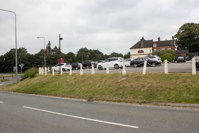
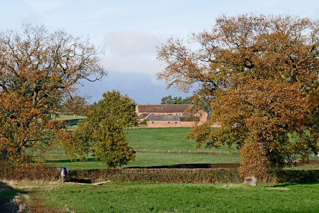
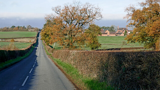
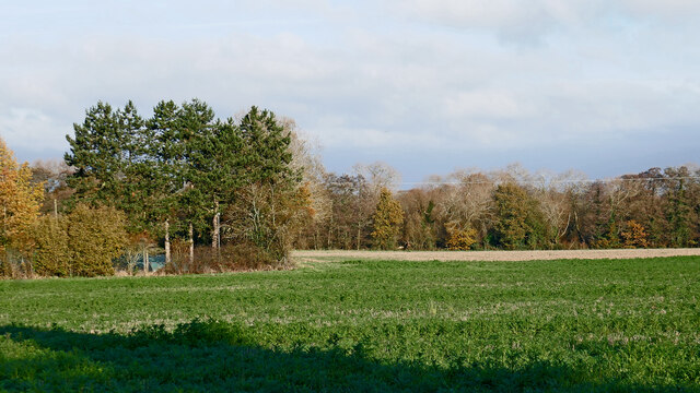
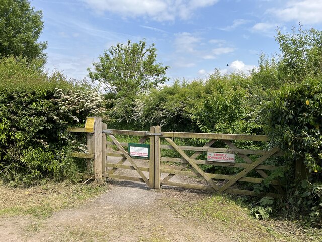
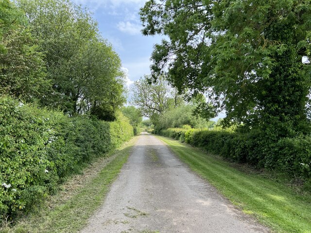
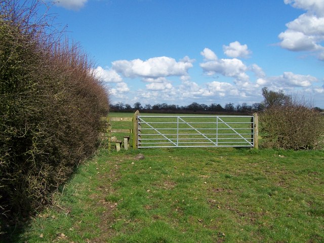
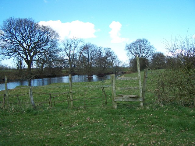
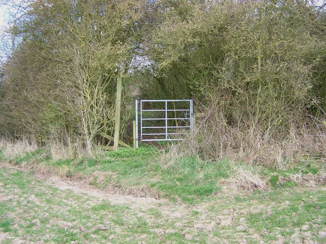
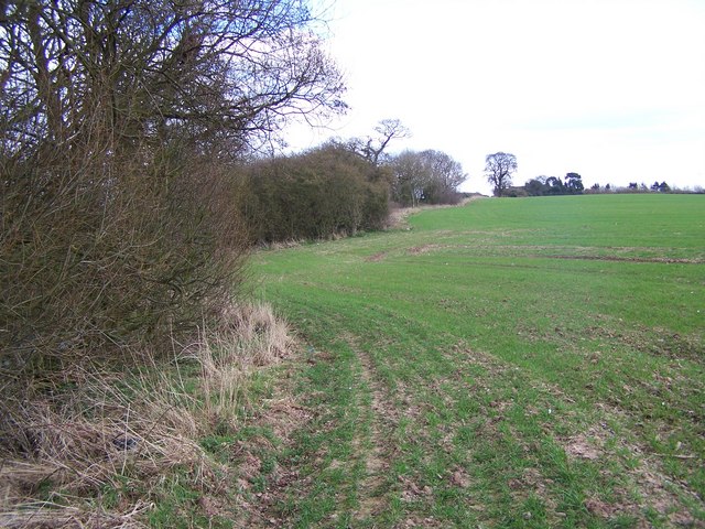
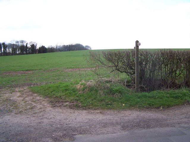
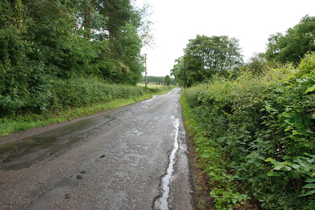
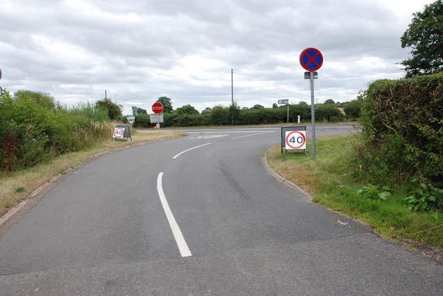
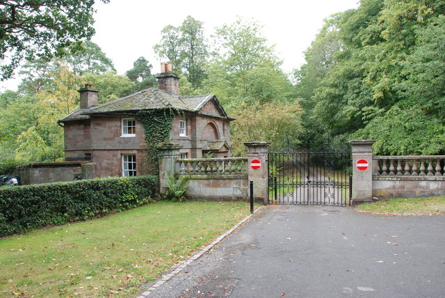
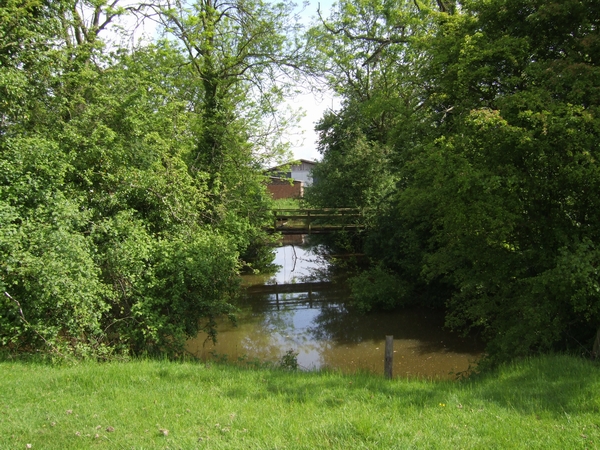
Bishops Wood Images

Images are sourced within 2km of 52.683372/-2.242272 or Grid Reference SJ8309. Thanks to Geograph Open Source API. All images are credited.

Bradford Arms
Bradford Arms
Pasture by Ivetsey Bank Farm in Staffordshire North of Bishopswood.
Pasture by Ivetsey Bank Farm in Staffordshire
North of Bishopswood.
Ivetsey Bank Road north of Bishopswood in Staffordshire Looking north towards the A5 Watling Street near Ivetsey Bank. Ivetsey Bank Farm buildings can be seen to the right of the road.
Ivetsey Bank Road north of Bishopswood in Staffordshire
Looking north towards the A5 Watling Street near Ivetsey Bank. Ivetsey Bank Farm buildings can be seen to the right of the road.
Farmland and woodland north of Bishopswood, Staffordshire Looking north-east from Ivetsey Bank Road.
Farmland and woodland north of Bishopswood, Staffordshire
Looking north-east from Ivetsey Bank Road.
Gateway to Belvide Reservoir ***Access to the site is restricted to members and permit holders of the West Midland Bird Club***

Belvide is a 180-acre canal feeder reservoir constructed in 1834 to supply the nearby Shropshire Union Canal. Birdwatching interest in the site did not awaken until the 1920s, but it is now regarded as one of the top sites in the Midlands. Owned by the Canal & Rivers Trust (formerly British Waterways), the site is leased to and managed by the West Midland Bird Club. It is scheduled as a Site of Special Scientific Interest (SSSI) under the stewardship of Natural England. Integral to the reserve is a 3 ha tract of broad-leaved woodland which is owned by the Club.

Websites:
West Midland Bird Club <span class="nowrap"><a title="http://www.westmidlandbirdclub.org.uk/belvide-reserve/4587485182" rel="nofollow ugc noopener" href="http://www.westmidlandbirdclub.org.uk/belvide-reserve/4587485182">Link</a><img style="margin-left:2px;" alt="External link" title="External link - shift click to open in new window" src="https://s1.geograph.org.uk/img/external.png" width="10" height="10"/></span>
Belvide News <span class="nowrap"><a title="https://belvidenews.wordpress.com" rel="nofollow ugc noopener" href="https://belvidenews.wordpress.com">Link</a><img style="margin-left:2px;" alt="External link" title="External link - shift click to open in new window" src="https://s1.geograph.org.uk/img/external.png" width="10" height="10"/></span>
Daily bird sightings <span class="nowrap"><a title="http://www.surfbirds.com/community-blogs/Belvide84/" rel="nofollow ugc noopener" href="http://www.surfbirds.com/community-blogs/Belvide84/">Link</a><img style="margin-left:2px;" alt="External link" title="External link - shift click to open in new window" src="https://s1.geograph.org.uk/img/external.png" width="10" height="10"/></span>
Gateway to Belvide Reservoir
***Access to the site is restricted to members and permit holders of the West Midland Bird Club*** Belvide is a 180-acre canal feeder reservoir constructed in 1834 to supply the nearby Shropshire Union Canal. Birdwatching interest in the site did not awaken until the 1920s, but it is now regarded as one of the top sites in the Midlands. Owned by the Canal & Rivers Trust (formerly British Waterways), the site is leased to and managed by the West Midland Bird Club. It is scheduled as a Site of Special Scientific Interest (SSSI) under the stewardship of Natural England. Integral to the reserve is a 3 ha tract of broad-leaved woodland which is owned by the Club. Websites: West Midland Bird Club LinkExternal link Belvide News LinkExternal link Daily bird sightings LinkExternal link
Track to Hawkshutts Farm This track running south from Watling Street (A5) to Hawkshutts Farm is also the route of a public bridleway. Belvide Reservoir bird reserve lies off to the left of the photo.
Track to Hawkshutts Farm
This track running south from Watling Street (A5) to Hawkshutts Farm is also the route of a public bridleway. Belvide Reservoir bird reserve lies off to the left of the photo.
Footpath To Wheaton Aston
Footpath Junction At Ivetsey Bank
Footpath To Ivetsey Bank
Footpath Near Ivetsey Bank
Offoxey Road, looking east to Bishops Wood
House on Offoxey Road, Bishops Wood
Housing Association Bungalows, Bishops Wood
Ivetsey Bank Farm
Ivetsey Bank Farm
Another Crop Gathered In It happened to be the V Festival weekend, and you didn't need tickets.
Another Crop Gathered In
It happened to be the V Festival weekend, and you didn't need tickets.
Approaching the A5 It was V Festival weekend and the 40mph signs were all along the A5.
Approaching the A5
It was V Festival weekend and the 40mph signs were all along the A5.
Gatehouse Weston Park This Gatehouse is at the eastern side of Weston Park, alongside the A5
Gatehouse Weston Park
This Gatehouse is at the eastern side of Weston Park, alongside the A5
Show me another place!

Bishops Wood is located at Grid Ref: SJ8309 (Lat: 52.683372, Lng: -2.242272)

Administrative County: Staffordshire

District: South Staffordshire

Police Authority: Staffordshire

What 3 Words

///upstarts.infinite.proud. Near Wheaton Aston, Staffordshire

Nearby Locations

Belle Vue Bishops Wood

Related Wikis

Bishops Wood

Bishops Wood, or Bishopswood (grid reference SJ835097) is a small village on the Staffordshire border with Shropshire. It is home to the Royal Oak public...

Black Ladies Priory

Black Ladies Priory was a house of Benedictine nuns, located about 4 km west of Brewood in Staffordshire, on the northern edge of the hamlet of Kiddemore...

Boscobel House

Boscobel House (grid reference SJ837082) is a Grade II* listed building in the parish of Boscobel in Shropshire. It has been, at various times, a farmhouse...

Boscobel, Shropshire

Boscobel is a civil parish in the east of Shropshire, England, on the border with Staffordshire. To the north is the Staffordshire village of Bishops Wood...

Royal Oak

The Royal Oak was the English oak tree within which the future King Charles II of England hid to escape the Roundheads following the Battle of Worcester...

White Ladies Priory

White Ladies Priory (often Whiteladies Priory), once the Priory of St Leonard at Brewood, was an English priory of Augustinian canonesses, now in ruins...

Brockhurst, Staffordshire

Brockhurst is a hamlet in Staffordshire, England, 1 mile sorth-west of Blymhill. It is part of Blymhill and Weston-under-Lizard civil parish within South...

Weston-under-Lizard

Weston-under-Lizard is a village and former civil parish, now in the parish of Blymhill and Weston-under-Lizard, in the South Staffordshire district of...

Nearby Amenities

Located within 500m of 52.683372,-2.242272
Post Box
Created By: Potlatch 0.10f
Lat/Long: 52.6830146/-2.2434255
Telephone
Booth: K6
Covered: booth
Man Made: telephone_box
Note: No cash calls
Lat/Long: 52.6864502/-2.2448256
Bishop's Wood Village Hall
Addr Postcode: ST19 9FG
Building: public
Lat/Long: 52.6805105/-2.2435835
The Royal Oak PH
Naptan AtcoCode: 3800C600500
Naptan Bearing: S
Naptan BusStopType: CUS
Naptan CommonName: The Royal Oak PH
Naptan Indicator: Opp
Naptan Landmark: Royal Oak PH
Naptan Street: Ivetsey Bank Rd
Naptan Verified: no
Source: naptan_import
Lat/Long: 52.6822876/-2.2431585
The Royal Oak PH
Naptan AtcoCode: 3800C600501
Naptan Bearing: N
Naptan BusStopType: CUS
Naptan CommonName: The Royal Oak PH
Naptan Indicator: Adj
Naptan Landmark: The Royal Oak PH
Naptan Street: Ivestey Bank Rd
Naptan Verified: no
Source: naptan_import
Lat/Long: 52.6823413/-2.2432771
Bus Stop
Old Coach Road
Naptan AtcoCode: 3800C621000
Naptan Bearing: NW
Naptan CommonName: Old Coach Road
Naptan Indicator: adj
Naptan Street: Ivetsey Bank Road
Naptan Verified: no
Public Transport: platform
Source: naptan_import
Lat/Long: 52.6829075/-2.2433247
Bus Stop
Ivetsey Bank Road
Naptan AtcoCode: 3800C621001
Naptan BusStopType: CUS
Naptan Verified: no
Public Transport: platform
Source: naptan
Lat/Long: 52.6829913/-2.2431867
Parking
Access: permissive
Lat/Long: 52.6804069/-2.2437527
The data included in this document is from www.openstreetmap.org. The data is made available under ODbL.

Have you been to Bishops Wood?

Leave your review of Bishops Wood below (or comments, questions and feedback).