Gouk Stone

Heritage Site in Aberdeenshire

Scotland

Gouk Stone

Bridge over A90
Bridge over A90 Credit: Weiers Coetser

Located in Aberdeenshire, Scotland, Gouk Stone is a heritage site of historical and cultural significance. It is an ancient standing stone that stands proudly in a rural landscape, surrounded by fields and farmland.

Dating back to the Neolithic period, Gouk Stone is estimated to be over 4,000 years old. Standing at approximately 3 meters in height, it is an impressive monument that has endured the test of time. The stone is made of granite, a common material used in ancient Scottish standing stones.

The purpose and meaning behind the Gouk Stone remain a mystery, as is the case with many other standing stones of its kind. Some theories suggest that it may have been used for ceremonial or religious purposes, while others propose that it served as a boundary marker or a memorial.

Visitors to Gouk Stone are captivated by its imposing presence and the sense of connection to the past it evokes. The stone is easily accessible, with a nearby parking area and a short walk to the site. Its rural location allows visitors to enjoy the peaceful surroundings and experience a glimpse into Scotland's ancient history.

Gouk Stone is a testament to the rich and diverse heritage of Aberdeenshire and serves as a reminder of the ancient civilizations that once thrived in the region. It offers a unique opportunity for visitors to connect with the past and appreciate the enduring legacy of our ancestors.

If you have any feedback on the listing, please let us know in the comments section below.
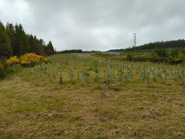
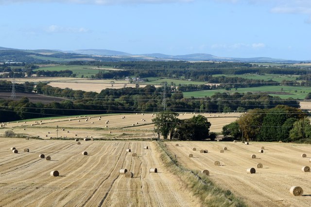
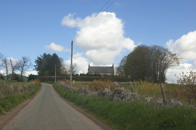
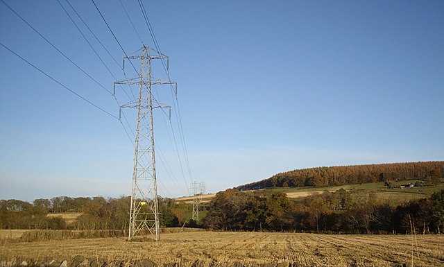
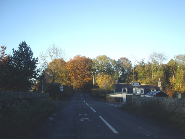
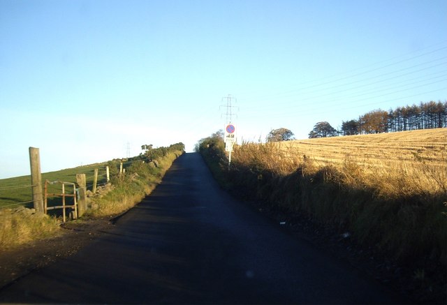
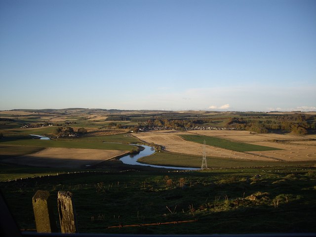
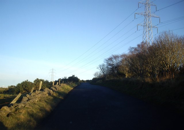
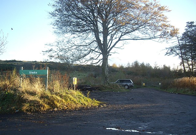
Gouk Stone Images

Images are sourced within 2km of 57.23/-2.273 or Grid Reference NJ8315. Thanks to Geograph Open Source API. All images are credited.

Bridge over A90
Bridge over A90
Harvested fields south of Bendauch farm 'Bendauch' means 'hill farm' according to Celtic Place-names in Aberdeenshire by John Milne.
Harvested fields south of Bendauch farm
'Bendauch' means 'hill farm' according to Celtic Place-names in Aberdeenshire by John Milne.
Boundary wall at the Slacks plantation A 'slack' is a hollow according to Celtic Place-names in Aberdeenshire by John Milne.
Boundary wall at the Slacks plantation
A 'slack' is a hollow according to Celtic Place-names in Aberdeenshire by John Milne.
Forestry track, Kirkhill Forest Despite its appearance, it is within the boundary of the City of Aberdeen.
Forestry track, Kirkhill Forest
Despite its appearance, it is within the boundary of the City of Aberdeen.
Aberdeenshire winter fields... ...with Slacks plantation in the background.
Aberdeenshire winter fields...
...with Slacks plantation in the background.
Wintry Aberdeenshire landscape The Bennachie granite massif looms in the distance, some 20 km distant.
Wintry Aberdeenshire landscape
The Bennachie granite massif looms in the distance, some 20 km distant.
Cairn at Slacks Wood See Canmore listing 19558 for more: <span class="nowrap"><a title="https://canmore.org.uk/site/19558/the-slacks" rel="nofollow ugc noopener" href="https://canmore.org.uk/site/19558/the-slacks">Link</a><img style="margin-left:2px;" alt="External link" title="External link - shift click to open in new window" src="https://s1.geograph.org.uk/img/external.png" width="10" height="10"/></span> .
Cairn at Slacks Wood
See Canmore listing 19558 for more: LinkExternal link .
Sprouting field An extremely large field, part of Kirkton Farm
Sprouting field
An extremely large field, part of Kirkton Farm
View towards Kirkton Farm
Power lines overhead B979 Heading off over the flank of Blue Hill.
Power lines overhead B979
Heading off over the flank of Blue Hill.
Dyce junction from B979 Near Kinaldie.
Dyce junction from B979
Near Kinaldie.
Minor4 road to Dyce
Minor4 road to Dyce
'Busy Outdoors' of Kinella Camping and caravanning suppliers.
'Busy Outdoors' of Kinella
Camping and caravanning suppliers.
A house on the corner Of the minor road from the B979 to Dyce.
A house on the corner
Of the minor road from the B979 to Dyce.
Minor road up north flank of Blue Hill With power lines crossing the road ahead.
Minor road up north flank of Blue Hill
With power lines crossing the road ahead.
View north to the River Don From the minor road on the north flanj of Blue Hill.
View north to the River Don
From the minor road on the north flanj of Blue Hill.
Power lines over minor road On north flank of Blue Hill.
Power lines over minor road
On north flank of Blue Hill.
Entrance to 'The Slacks' on Blue Hill
Show me another place!

Gouk Stone is located at Grid Ref: NJ8315 (Lat: 57.23, Lng: -2.273)

Unitary Authority: Aberdeenshire

Police Authority: North East

What 3 Words

///loudness.together.regime. Near Blackburn, Aberdeenshire

Related Wikis

Kinaldie railway station

Kinaldie railway station was a railway station in Kinaldie, Aberdeenshire. == History == The station was opened in November 1854 on the Great North of...

Hatton of Fintray

Hatton of Fintray, commonly referred to as Fintray, is a village on the River Don in Aberdeenshire, Scotland, in the parish of Fintray. It was a textile...

Fintray Hillclimb

Fintray House Hillclimb is a speed motorsport event held near Hatton of Fintray, in Aberdeenshire, Scotland. Each event is a separate round of the Scottish...

Pitmedden railway station

Pitmedden railway station was a railway station near Pitmedden House in Dyce, Aberdeen. == Previous services == == References == === Notes === === Sources... ===

Nearby Amenities

Located within 500m of 57.23,-2.273
Design: barrel
Power: tower
Source: bing
Lat/Long: 57.2272578/-2.2685859
Design: barrel
Power: tower
Source: bing
Lat/Long: 57.227154/-2.2782981
Design: barrel
Power: tower
Source: bing
Lat/Long: 57.2272023/-2.2736377
Power: pole
Lat/Long: 57.229723/-2.2784464
Power: pole
Lat/Long: 57.2302121/-2.2773663
Power: pole
Lat/Long: 57.2290142/-2.2747351
Power: pole
Lat/Long: 57.2292164/-2.2754193
Power: pole
Lat/Long: 57.2294274/-2.2761766
Power: pole
Lat/Long: 57.229593/-2.2767685
Power: pole
Lat/Long: 57.2308099/-2.2779043
Power: pole
Lat/Long: 57.2314033/-2.2784119
Power: pole
Lat/Long: 57.2306604/-2.2795448
Power: pole
Lat/Long: 57.2310593/-2.2789398
Power: pole
Lat/Long: 57.2318911/-2.2775714
Power: pole
Lat/Long: 57.2323801/-2.2766963
Power: pole
Lat/Long: 57.2328757/-2.2758274
Power: pole
Lat/Long: 57.2333746/-2.2749625
Power: pole
Lat/Long: 57.2338668/-2.2740773
Power: pole
Lat/Long: 57.2342657/-2.2734114
Railway: signal
Railway Signal Main: GB-NR:main
Ref: HD7250
Lat/Long: 57.2278694/-2.2657024
The data included in this document is from www.openstreetmap.org. The data is made available under ODbL.

Have you been to Gouk Stone?

Leave your review of Gouk Stone below (or comments, questions and feedback).