Charndon

Settlement in Buckinghamshire

England

Charndon

Calvert waste depot and Greatmoor EFW incinerator Class 66 No. 66078 running back to the Calvert waste terminal. Its train of waste containers is being unloaded to be returned later to London. The Greatmoor EFW (Energy From Waste) incinerator is in the background. This takes waste products both by rail and road to produce 'green' electricity.
Calvert waste depot and Greatmoor EFW incinerator Credit: Bob Walters

Charndon is a small village located in the county of Buckinghamshire, England. Situated in the Aylesbury Vale district, it lies approximately 6 miles northeast of the town of Bicester in Oxfordshire and 11 miles west of the county town of Aylesbury.

The village is surrounded by beautiful countryside, with rolling hills and picturesque fields. It is well-connected to nearby towns and cities, with convenient road links including the A41 and A421, making it easily accessible for residents and visitors alike.

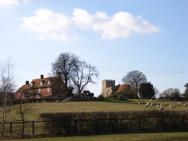
Charndon has a long history, dating back to the medieval period. The village features several historic buildings, including St. Mary's Church, which dates back to the 13th century. The church is an architectural gem, known for its stunning stained glass windows and intricate carvings.

In terms of amenities, Charndon offers a range of facilities for its residents. These include a primary school, a village hall, a local shop, and a pub, providing essential services and a sense of community.

The village is also home to a number of clubs and societies, offering residents a chance to engage in various activities and hobbies. These include sports clubs, gardening societies, and arts and crafts groups.

Despite its small size, Charndon boasts a vibrant community spirit and hosts various events throughout the year, including summer fairs and seasonal celebrations.

In summary, Charndon is a charming village with a rich history and a strong sense of community. With its beautiful surroundings and range of amenities, it offers a peaceful and idyllic place to live or visit.

If you have any feedback on the listing, please let us know in the comments section below.
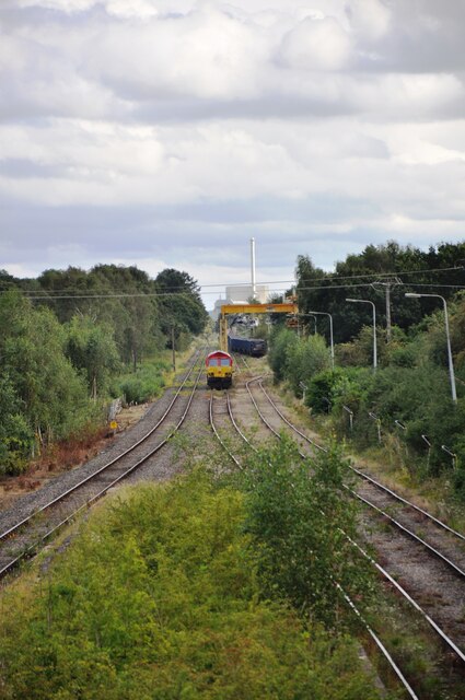
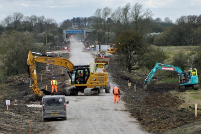
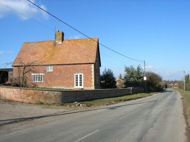
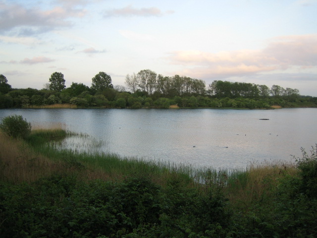
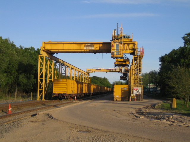
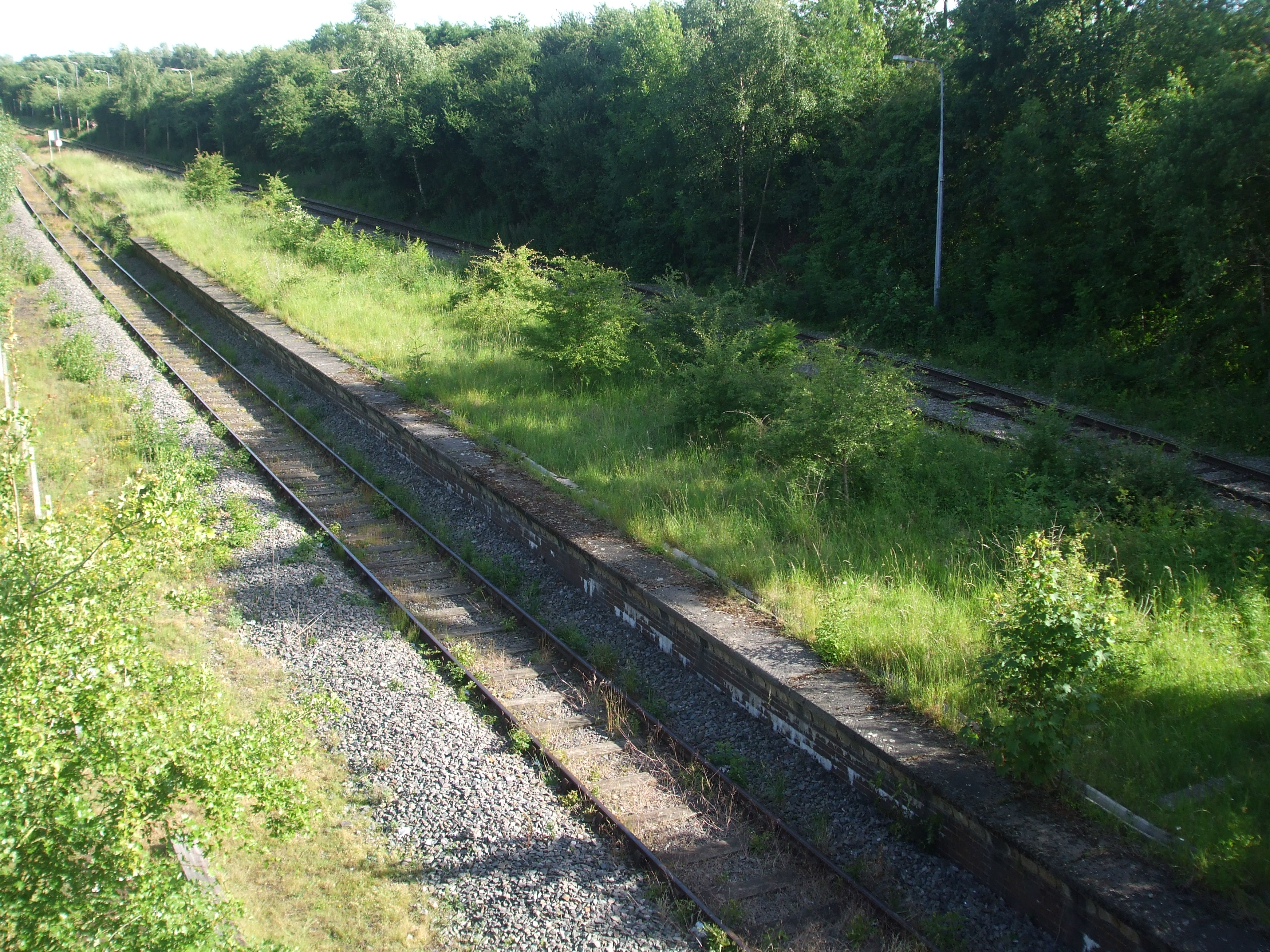
Charndon Images

Images are sourced within 2km of 51.914511/-1.024598 or Grid Reference SP6724. Thanks to Geograph Open Source API. All images are credited.

Calvert waste depot and Greatmoor EFW incinerator Class 66 No. 66078 running back to the Calvert waste terminal. Its train of waste containers is being unloaded to be returned later to London. The Greatmoor EFW (Energy From Waste) incinerator is in the background. This takes waste products both by rail and road to produce 'green' electricity.
Calvert waste depot and Greatmoor EFW incinerator
Class 66 No. 66078 running back to the Calvert waste terminal. Its train of waste containers is being unloaded to be returned later to London. The Greatmoor EFW (Energy From Waste) incinerator is in the background. This takes waste products both by rail and road to produce 'green' electricity.
Calvert waste depot and Greatmoor EFW incinerator Two months on from the previous picture with this title (6937388), all trackwork passing the remains of the old Calvert Station platforms has been removed in readiness for the continuation of HS2 works.  The waste terminal will be rebuilt to the left and HS2 tracks will pass through where the photographer is standing.
Calvert waste depot and Greatmoor EFW incinerator
Two months on from the previous picture with this title (6937388), all trackwork passing the remains of the old Calvert Station platforms has been removed in readiness for the continuation of HS2 works. The waste terminal will be rebuilt to the left and HS2 tracks will pass through where the photographer is standing.
Portway Farm from GCR Bridge 558 A view south east from GCR Bridge No.558 showing the former Great Central Railway trackbed passing Portway Farm on the right.  The line was closed in 1966, but now the new HS2 railway is being built here, and will pass just to the left of this scene.
Portway Farm from GCR Bridge 558
A view south east from GCR Bridge No.558 showing the former Great Central Railway trackbed passing Portway Farm on the right. The line was closed in 1966, but now the new HS2 railway is being built here, and will pass just to the left of this scene.
Work on East West Railway Work being carried out near Charndon on the embankment and trackbed of the old Bicester to Bletchley line to ready it for the relaying of double track for the new East West Railway services between Milton Keynes and Oxford.  An overbridge for the Charndon to Poundon bridleway is in the distance.
Work on East West Railway
Work being carried out near Charndon on the embankment and trackbed of the old Bicester to Bletchley line to ready it for the relaying of double track for the new East West Railway services between Milton Keynes and Oxford. An overbridge for the Charndon to Poundon bridleway is in the distance.
Where HS2 and East West Railway will cross A view from the road bridge of progress at the crossing of HS2 and East West Railway (EWR).  The piers of the bridge over HS2 have been built; this will run left to right at the bottom of the picture.  EWR will cross this bridge from top to bottom of the picture.  The road bridge that the photographer is standing on will be replaced by a new bridge under the EWR tracks.  In the distance can be seen Addison Road bridge and beyond that the new bridge to take Queen Catherine Road; this replaces a level crossing at the site of the former Claydon Station.
Where HS2 and East West Railway will cross
A view from the road bridge of progress at the crossing of HS2 and East West Railway (EWR). The piers of the bridge over HS2 have been built; this will run left to right at the bottom of the picture. EWR will cross this bridge from top to bottom of the picture. The road bridge that the photographer is standing on will be replaced by a new bridge under the EWR tracks. In the distance can be seen Addison Road bridge and beyond that the new bridge to take Queen Catherine Road; this replaces a level crossing at the site of the former Claydon Station.
Dust and tipper trucks A continuous procession of tipper trucks carrying stone for the HS2 and EWR works at the site of the old Calvert GCR Station.  HS2 is due to pass through here and the new EWR tracks will cross over it just north of here.
Dust and tipper trucks
A continuous procession of tipper trucks carrying stone for the HS2 and EWR works at the site of the old Calvert GCR Station. HS2 is due to pass through here and the new EWR tracks will cross over it just north of here.
Diverted road The road has been diverted around the old railway bridge (GCR No. 558), centre of picture.  The new HS2 railway line will pass just beyond the bridge in a cutting.
Diverted road
The road has been diverted around the old railway bridge (GCR No. 558), centre of picture. The new HS2 railway line will pass just beyond the bridge in a cutting.
Ramp up to bridge OXD/29, 2014 Charndon Main Street crosses the former Oxford - Bletchley line.
Ramp up to bridge OXD/29, 2014
Charndon Main Street crosses the former Oxford - Bletchley line.
Former Oxford - Bletchley line, 2014 Before upgrading to passenger standards. Looking towards Bicester.
Former Oxford - Bletchley line, 2014
Before upgrading to passenger standards. Looking towards Bicester.
Footpath parallel with railway, 2014 Now closed during railway upgrading work, and the trees cut back.
Footpath parallel with railway, 2014
Now closed during railway upgrading work, and the trees cut back.
A road called School Hill From Charndon to Calvert.
A road called School Hill
From Charndon to Calvert.
Railway east of bridge OXD/28, 2014 The Oxford - Bletchley line, which was partly disused, but not here. In the distance is the junction for a spur onto what remained of the old Great Central line. The lines here survived for the use of landfill trains.
Railway east of bridge OXD/28, 2014
The Oxford - Bletchley line, which was partly disused, but not here. In the distance is the junction for a spur onto what remained of the old Great Central line. The lines here survived for the use of landfill trains.
Railway west of bridge OXD/28, 2014 The Oxford - Bletchley line, which was partly disused, but not here.
Railway west of bridge OXD/28, 2014
The Oxford - Bletchley line, which was partly disused, but not here.
New bridge under construction A new bridge under construction to take the Bletchley to Bicester railway line over the road rather than under it.  The railway line is being raised here so that the new HS2 railway can pass beneath it.  The bridge that the photographer is standing on will be demolished and the road diverted beneath the new bridge.  Beyond is the trackbed of the Bletchley line being raised to cross the new bridge.
New bridge under construction
A new bridge under construction to take the Bletchley to Bicester railway line over the road rather than under it. The railway line is being raised here so that the new HS2 railway can pass beneath it. The bridge that the photographer is standing on will be demolished and the road diverted beneath the new bridge. Beyond is the trackbed of the Bletchley line being raised to cross the new bridge.
Crossroads near Calvert
Track to barn near Charndon
Remains of Calvert station, 1984 View SE, towards Grendon Underwood Junction, Quainton Road, Aylesbury and London Marylebone: ex-GC Marylebone - Sheffield main line. The station was closed 4/3/63 (goods, 4/5/64), the main line from 5/9/66. A loop from Claydon on the ex-LNW Bletchley - Oxford line, opened 14/9/40 as a wartime connection, remained until 22/11/65. The tracks visible here serve primarily the large Waste Depot (former quarry) and come from Aylesbury via Quainton Road.
Remains of Calvert station, 1984
View SE, towards Grendon Underwood Junction, Quainton Road, Aylesbury and London Marylebone: ex-GC Marylebone - Sheffield main line. The station was closed 4/3/63 (goods, 4/5/64), the main line from 5/9/66. A loop from Claydon on the ex-LNW Bletchley - Oxford line, opened 14/9/40 as a wartime connection, remained until 22/11/65. The tracks visible here serve primarily the large Waste Depot (former quarry) and come from Aylesbury via Quainton Road.
Former Oxford - Cambridge railway Now abandoned or disused over many sections, this part is singled and used for freight, although restoration of a passenger service as far as Bletchley is mooted. The freight traffic involves a reversal beyond the next bridge onto a spur to the old GCR main line, itself only retained for this traffic south of the junction.
Former Oxford - Cambridge railway
Now abandoned or disused over many sections, this part is singled and used for freight, although restoration of a passenger service as far as Bletchley is mooted. The freight traffic involves a reversal beyond the next bridge onto a spur to the old GCR main line, itself only retained for this traffic south of the junction.
Show me another place!

Charndon is located at Grid Ref: SP6724 (Lat: 51.914511, Lng: -1.024598)

Unitary Authority: Buckinghamshire

Police Authority: Thames Valley

What 3 Words

///maddening.hairspray.expired. Near Steeple Claydon, Buckinghamshire

Nearby Locations

Charndon

Related Wikis

Charndon

Charndon is a hamlet and civil parish in the Aylesbury Vale district of Buckinghamshire, England. == Name == The hamlet's toponym combines Brittonic and...

Calvert Jubilee

Calvert Jubilee is a 22 hectares (54 acres) nature reserve in Calvert near Steeple Claydon in Buckinghamshire. It is managed by the Berkshire, Buckinghamshire...

Calvert Green

Calvert Green is a civil parish in Aylesbury Vale, Buckinghamshire, England. It was created in 2003 from parts of Charndon and Steeple Claydon civil parishes...

Calvert, Buckinghamshire

Calvert is a village in Buckinghamshire, England, near the village of Steeple Claydon. Originally named after a wealthy local family who had inherited...

Calvert railway station

Calvert was a railway station at Calvert, Buckinghamshire on the former Great Central Main Line between Manchester Piccadilly and London Marylebone. The...

Twyford, Buckinghamshire

Twyford is a village and civil parish in the Aylesbury Vale district of Buckinghamshire, England. It is about 2 miles (3 km) west of Steeple Claydon and...

Marsh Gibbon and Poundon railway station

Marsh Gibbon and Poundon railway station was a railway station to the west of Verney Junction on the Oxford and Bletchley section of the LNWR's branch...

Edgcott

Edgcott is a village and a civil parish in Buckinghamshire district in the ceremonial county of Buckinghamshire, England. It is in the Aylesbury Vale,...

Nearby Amenities

Located within 500m of 51.914511,-1.024598
Charndon
Is In: Buckinghamshire, England, UK
Place: hamlet
Wikidata: Q2206217
Wikipedia: en:Charndon
Lat/Long: 51.9147937/-1.024986
Disused Addr Postcode: OX6 0BL
Old Phone: +44 1296 730272
Removed Amenity: telephone
Lat/Long: 51.91675/-1.0243296
Give Way
Direction: forward
Lat/Long: 51.9127276/-1.0262265
Barrier: stile
Lat/Long: 51.9151408/-1.0235701
Post Box
Post Box Type: lamp
Ref: OX27 331
Lat/Long: 51.9155048/-1.0240926
Barrier: stile
Lat/Long: 51.9189052/-1.0249095
Power: pole
Source: Bing
Lat/Long: 51.9166794/-1.0286864
Power: pole
Source: Bing
Lat/Long: 51.912975/-1.0304567
Power: pole
Source: Bing
Lat/Long: 51.9157166/-1.031146
Power: pole
Source: Bing
Lat/Long: 51.9168465/-1.0194328
Power: pole
Source: Bing
Lat/Long: 51.9139264/-1.0306847
Power: pole
Source: Bing
Lat/Long: 51.9132315/-1.0233126
Power: pole
Source: Bing
Lat/Long: 51.9127765/-1.0213023
Power: pole
Source: Bing
Lat/Long: 51.9113698/-1.0260388
Power: pole
Source: Bing
Lat/Long: 51.9132795/-1.0188454
Power: pole
Source: Bing
Lat/Long: 51.9120571/-1.0302602
Power: pole
Source: Bing
Lat/Long: 51.9165967/-1.0261142
Power: pole
Source: Bing
Lat/Long: 51.9107791/-1.0252273
Power: pole
Source: Bing
Lat/Long: 51.9115604/-1.0225066
Power: pole
Source: Bing
Lat/Long: 51.9120617/-1.0214525
Power: pole
Source: Bing
Lat/Long: 51.9167307/-1.030116
Power: pole
Source: Bing
Lat/Long: 51.9148546/-1.0309234
Power: portal
Source: Bing
Lat/Long: 51.9165587/-1.0249662
Power: pole
Source: Bing
Lat/Long: 51.9160441/-1.0189741
Power: pole
Source: Bing
Lat/Long: 51.9166447/-1.027289
Power: pole
Source: Bing
Lat/Long: 51.9138816/-1.0176092
Power: pole
Source: Bing
Lat/Long: 51.9130131/-1.0223135
Traffic Calming: cushion
Lat/Long: 51.9119565/-1.0270197
Traffic Calming: cushion
Lat/Long: 51.9122416/-1.0267842
Direction: forward
Traffic Calming: chicane
Lat/Long: 51.912778/-1.0261705
Traffic Calming: cushion
Lat/Long: 51.9127729/-1.0261761
Traffic Calming: cushion
Lat/Long: 51.9135951/-1.0253522
Traffic Calming: cushion
Lat/Long: 51.9144096/-1.0246507
Traffic Calming: cushion
Lat/Long: 51.9152387/-1.0244301
Traffic Calming: cushion
Lat/Long: 51.9158013/-1.024376
Traffic Calming: cushion
Lat/Long: 51.9167589/-1.0244153
Give Way
Direction: backward
Lat/Long: 51.9174124/-1.024336
Traffic Calming: cushion
Lat/Long: 51.9173537/-1.0243567
Direction: backward
Traffic Calming: chicane
Lat/Long: 51.9173638/-1.0243531
Fixme: solar panel?
Lat/Long: 51.9170848/-1.0241607
Direction: 90
Generator Method: photovoltaic
Generator Output Electricity: yes
Generator Solar Modules: 8
Generator Source: solar
Generator Type: solar_photovoltaic_panel
Location: roof
Power: generator
Lat/Long: 51.9147618/-1.0240483
Direction: 270
Generator Method: photovoltaic
Generator Output Electricity: yes
Generator Solar Modules: 8
Generator Source: solar
Generator Type: solar_photovoltaic_panel
Location: roof
Power: generator
Lat/Long: 51.9147611/-1.0240989
Direction: 120
Generator Method: photovoltaic
Generator Output Electricity: yes
Generator Solar Modules: 24
Generator Source: solar
Generator Type: solar_photovoltaic_panel
Location: roof
Power: generator
Lat/Long: 51.914316/-1.0242124
Direction: 190
Generator Method: photovoltaic
Generator Output Electricity: yes
Generator Solar Modules: 16
Generator Source: solar
Generator Type: solar_photovoltaic_panel
Location: roof
Power: generator
Lat/Long: 51.9141113/-1.0239401
Shelter
Shelter Type: public_transport
Lat/Long: 51.9175979/-1.0241999
Power: portal
Source: Bing
Transformer: distribution
Lat/Long: 51.9119001/-1.0267442
Power: pole
Source: Bing
Transformer: distribution
Lat/Long: 51.9120908/-1.030268
Man Made: utility_pole
Lat/Long: 51.9114902/-1.0274155
Man Made: utility_pole
Lat/Long: 51.9116664/-1.0272438
Man Made: utility_pole
Lat/Long: 51.9120097/-1.0269193
Man Made: utility_pole
Lat/Long: 51.9128151/-1.0260717
Man Made: utility_pole
Lat/Long: 51.9130306/-1.0259677
Man Made: utility_pole
Lat/Long: 51.9133437/-1.0256747
Man Made: utility_pole
Lat/Long: 51.9136324/-1.0254119
Man Made: utility_pole
Lat/Long: 51.9136635/-1.0247836
The data included in this document is from www.openstreetmap.org. The data is made available under ODbL.

Have you been to Charndon?

Leave your review of Charndon below (or comments, questions and feedback).