The Beggar's Wood
Wood, Forest in Roxburghshire
Scotland
The Beggar's Wood

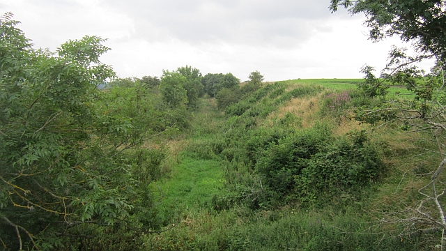
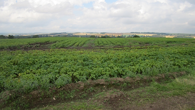
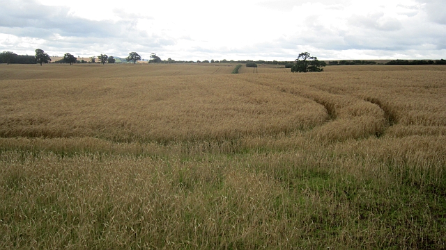
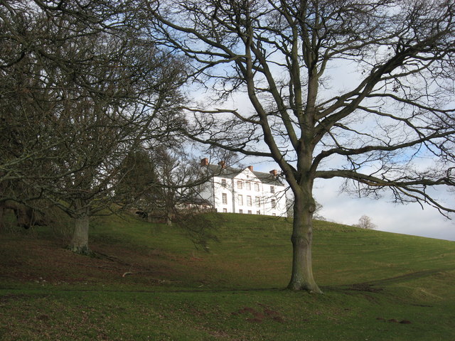
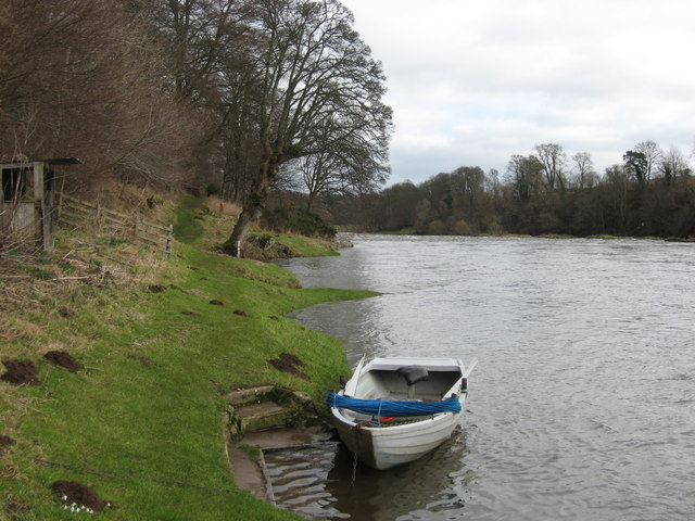
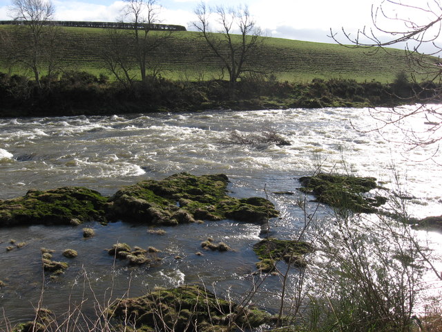
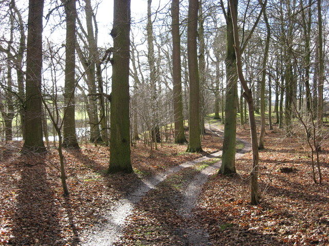
The Beggar's Wood is a picturesque forest located in the region of Roxburghshire, Scotland. Stretching across an area of approximately 100 acres, this woodland is renowned for its natural beauty and rich biodiversity.
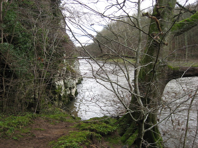
The forest is predominantly composed of native tree species such as oak, birch, and beech, which create a dense canopy and provide shelter for numerous wildlife species. The ground is covered with a lush carpet of ferns, wildflowers, and mosses, adding to the enchanting atmosphere of the wood.
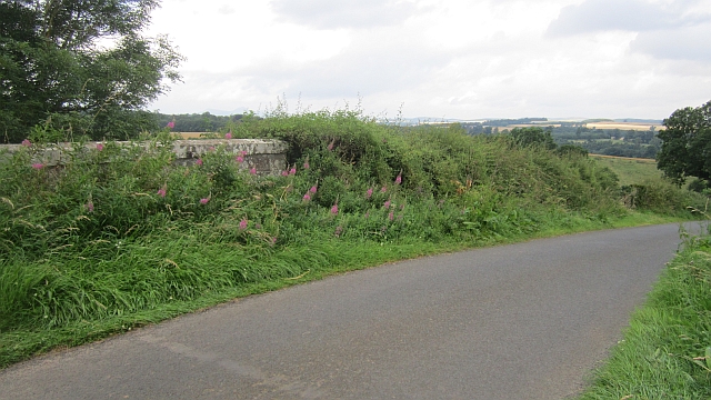
Visitors to The Beggar's Wood can explore a network of well-maintained footpaths that wind through the forest, offering stunning views of the surrounding countryside. These trails are suitable for walkers of all abilities, with some paths being wheelchair accessible.
The wood is also home to a variety of wildlife, including red squirrels, badgers, and numerous bird species. Birdwatchers may be lucky enough to spot species such as woodpeckers, owls, and thrushes.
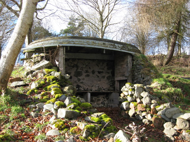
The Beggar's Wood has a rich history, with evidence of human occupation dating back thousands of years. Archaeological remains, such as Iron Age hillforts and ancient burial mounds, can be found scattered throughout the woodland, providing a glimpse into the past.
Overall, The Beggar's Wood is a haven of tranquility, offering visitors the opportunity to immerse themselves in nature, explore its diverse flora and fauna, and connect with the rich history of the area.
If you have any feedback on the listing, please let us know in the comments section below.
The Beggar's Wood Images
Images are sourced within 2km of 55.586164/-2.5195961 or Grid Reference NT6732. Thanks to Geograph Open Source API. All images are credited.


The Beggar's Wood is located at Grid Ref: NT6732 (Lat: 55.586164, Lng: -2.5195961)
Unitary Authority: The Scottish Borders
Police Authority: The Lothians and Scottish Borders
What 3 Words
///limped.beauty.branded. Near Kelso, Scottish Borders
Nearby Locations
Related Wikis

Makerstoun
Makerstoun is a parish in the Scottish Borders area of Scotland, as well as the historic county of Roxburghshire, 4 miles (6 km) south-west of Kelso.The...

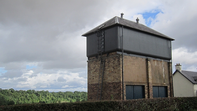
Rutherford railway station
Rutherford railway station served the parish of Maxton, Roxburghshire, Scotland from 1851 to 1964 on the Kelso Line. == History == The station opened in...

Roxburgh railway station
Roxburgh railway station was on the Kelso Line, and served the village of Roxburgh, Scottish Borders, from 1850 to 1964. == History == The station was...

Borders Abbeys Way
The Borders Abbeys Way is a long-distance footpath in the Scottish Borders area of Scotland. It is a circular walkway and is 109 kilometres (68 mi) in...
Nearby Amenities
Located within 500m of 55.586164,-2.5195961Have you been to The Beggar's Wood?
Leave your review of The Beggar's Wood below (or comments, questions and feedback).