Southside Plantation
Wood, Forest in Berwickshire
Scotland
Southside Plantation
The requested URL returned error: 429 Too Many Requests
If you have any feedback on the listing, please let us know in the comments section below.
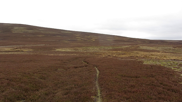
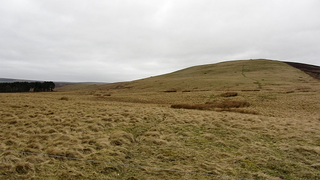
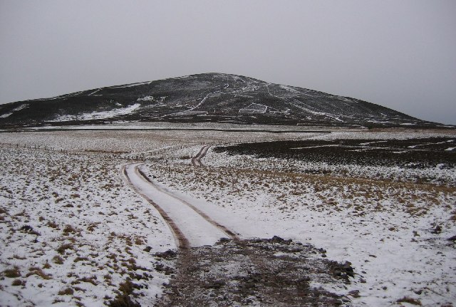
Southside Plantation Images
Images are sourced within 2km of 55.781116/-2.5219812 or Grid Reference NT6754. Thanks to Geograph Open Source API. All images are credited.


Southside Plantation is located at Grid Ref: NT6754 (Lat: 55.781116, Lng: -2.5219812)
Unitary Authority: The Scottish Borders
Police Authority: The Lothians and Scottish Borders
What 3 Words
///retiring.jeep.lawns. Near Duns, Scottish Borders
Nearby Locations
Related Wikis

Watch Water
The Watch Water is a river in the Scottish Borders area of Scotland. It rises in the Lammermuir Hills, around 8 kilometres (5.0 mi) west of Longformacus...
Dirrington Great Law
Dirrington Great Law is a hill in the Scottish Borders area of Scotland, in the former county of Berwickshire. The summit is around 2.5 kilometres (1.6...

Bedshiel
Bedshiel is a village in the Scottish Borders area of Scotland on the B6456, six miles from Duns, two miles from Greenlaw, Longformacus and Westruther...

Longformacus
Longformacus (Scottish Gaelic: Longphort Mhacais) is a small village in Berwickshire in the Scottish Borders area of Scotland. It is around 10 kilometres...
Have you been to Southside Plantation?
Leave your review of Southside Plantation below (or comments, questions and feedback).