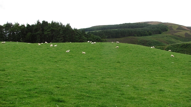
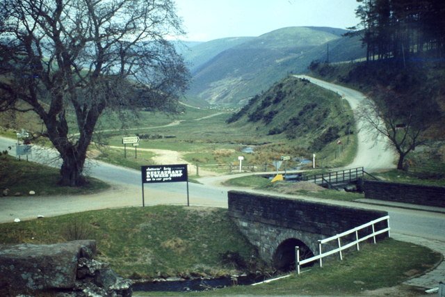
Hill Wood

Wood, Forest in Kincardineshire

Scotland

Hill Wood

Track on Strathfinella Hill Forest track heading westwards down from the summit of Strathfinella Hill.
Track on Strathfinella Hill Credit: Scott Cormie

The requested URL returned error: 429 Too Many Requests

If you have any feedback on the listing, please let us know in the comments section below.
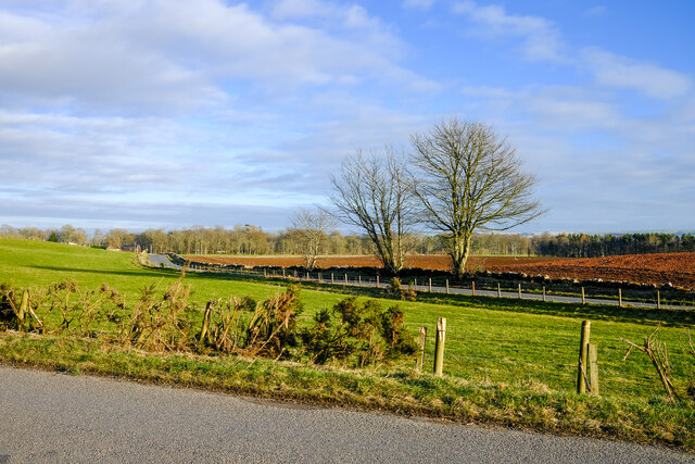
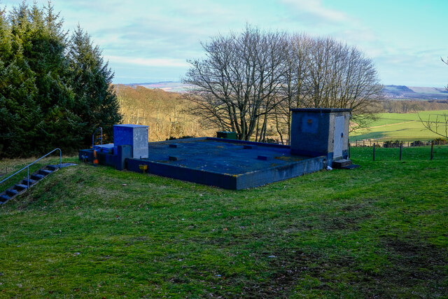
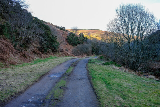
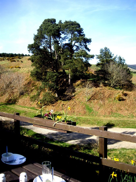
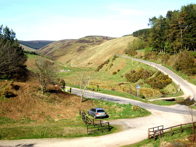
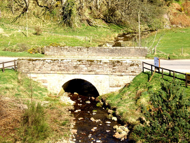
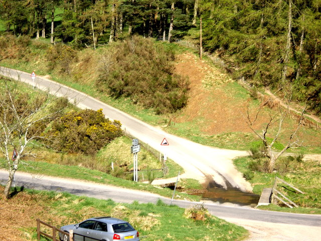
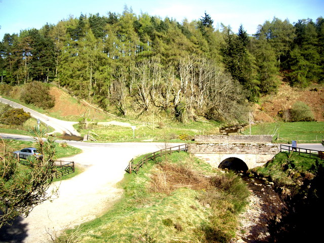
Hill Wood Images

Images are sourced within 2km of 56.883556/-2.5371254 or Grid Reference NO6777. Thanks to Geograph Open Source API. All images are credited.

Track on Strathfinella Hill Forest track heading westwards down from the summit of Strathfinella Hill.
Track on Strathfinella Hill
Forest track heading westwards down from the summit of Strathfinella Hill.
Heather moorland on Strathfinella Hill Looking westwards across heather moorland on the south-western flank of Strathfinella Hill.
Heather moorland on Strathfinella Hill
Looking westwards across heather moorland on the south-western flank of Strathfinella Hill.
Coming down Strathfinella Hill Track heading south-west down Strathfinella Hill, with the Howe of the Mearns beyond.
Coming down Strathfinella Hill
Track heading south-west down Strathfinella Hill, with the Howe of the Mearns beyond.
Forested hillside Looking across a clearing to forest on the slopes of Smart's Cairn.
Forested hillside
Looking across a clearing to forest on the slopes of Smart's Cairn.
Forest track in Hill Wood Forest track in Hill Wood on the southern flank of Strathfinella Hill.
Forest track in Hill Wood
Forest track in Hill Wood on the southern flank of Strathfinella Hill.
Track on southern edge of Strathfinella Hill Beginning of track heading south-east from the forest on the southern slopes of Strathfinella Hill.
Track on southern edge of Strathfinella Hill
Beginning of track heading south-east from the forest on the southern slopes of Strathfinella Hill.
Two roads and a field Just a simple roadside view of this square
Two roads and a field
Just a simple roadside view of this square
Covered reservoir On hunters hill
Covered reservoir
On hunters hill
Road to the Catterin' Bridge A nice walking path up the side of the burn
Road to the Catterin' Bridge
A nice walking path up the side of the burn
Pine trees By the Clatterin' Brig restaurant
Pine trees
By the Clatterin' Brig restaurant
Snow gates on Cairn O'Mount road Seen from the Clatterin' Brig restaurant.
Snow gates on Cairn O'Mount road
Seen from the Clatterin' Brig restaurant.
Bridge over the Slack Burn Carrying the Old Military Road between Fettercairn and Feughside over the Cairn O'Mount.
Bridge over the Slack Burn
Carrying the Old Military Road between Fettercairn and Feughside over the Cairn O'Mount.
Triple crossing of the Slack Burn The vehicle ford is flanked left by an elevated cycle track, and right by a footbridge.
Triple crossing of the Slack Burn
The vehicle ford is flanked left by an elevated cycle track, and right by a footbridge.
A 'major' road junction in the hills Access to Glensaugh from the old military road at Clatterin' Brig.
A 'major' road junction in the hills
Access to Glensaugh from the old military road at Clatterin' Brig.
Sheep, Glensaugh Grassland above Clattrin Brig.
Sheep, Glensaugh
Grassland above Clattrin Brig.
Behind Strathfinella Hill Two bulls graze above the Glen Burn. The view of Strathfinella Hill is atypical, most of the hill is covered in conifers.
Behind Strathfinella Hill
Two bulls graze above the Glen Burn. The view of Strathfinella Hill is atypical, most of the hill is covered in conifers.
B974 between Gateside and Clatterin Brig
Clatterin' Brig Stone arched bridge across the Devilly burn and minor road junction at the southern foot of the Cairn o' Mount road.
Clatterin' Brig
Stone arched bridge across the Devilly burn and minor road junction at the southern foot of the Cairn o' Mount road.
Show me another place!

Hill Wood is located at Grid Ref: NO6777 (Lat: 56.883556, Lng: -2.5371254)

Unitary Authority: Aberdeenshire

Police Authority: North East

What 3 Words

///festivity.group.loaning. Near Laurencekirk, Aberdeenshire

Nearby Locations

Hill Wood

Related Wikis

Kincardine, Aberdeenshire

Kincardine was a burgh in Scotland, near the present-day village of Fettercairn. It served as the first county town of Kincardineshire. The settlement...

Fasque House

Fasque, also known as Fasque House or Fasque Castle, is a mansion in Aberdeenshire, Scotland, situated near the village of Fettercairn, in the former county...

Drumtochty Castle

Drumtochty Castle is a neo-gothic style castellated mansion erected in 1812 approximately three kilometres north-west of Auchenblae, Kincardineshire, Scotland...

Fettercairn

Fettercairn (, Scottish Gaelic: Fothair Chàrdain) is a small village in Aberdeenshire, Scotland, northwest of Laurencekirk in Aberdeenshire on the B966...

Have you been to Hill Wood?

Leave your review of Hill Wood below (or comments, questions and feedback).