Stubcross Plantation
Wood, Forest in Roxburghshire
Scotland
Stubcross Plantation
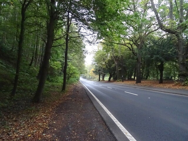
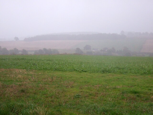
Stubcross Plantation is a sprawling woodland situated in the picturesque county of Roxburghshire in the Scottish Borders region. Spanning an area of approximately 500 acres, this plantation is known for its dense and diverse forest cover, making it an important ecological and recreational site.
The woodland primarily comprises mixed coniferous and broadleaf trees, including species such as Scots pine, Douglas fir, oak, and beech. The presence of these trees creates a stunning natural landscape, offering a haven for a wide array of flora and fauna. The plantation is also home to a variety of wildlife, including red squirrels, deer, and a diverse range of bird species.
The area is popular among nature enthusiasts and outdoor enthusiasts alike, offering numerous walking trails and cycling routes that wind through the plantation. These paths provide visitors with a chance to immerse themselves in the tranquility of the forest while enjoying the breathtaking views and fresh air.
Stubcross Plantation is managed by the Scottish Forestry Commission, which ensures the sustainable management and conservation of the woodland. This includes regular tree harvesting and replanting to maintain the health and vitality of the plantation.
Overall, Stubcross Plantation is a natural gem in Roxburghshire, offering a peaceful retreat for both nature lovers and those seeking outdoor activities. With its enchanting woodland, diverse wildlife, and well-maintained trails, it provides a perfect escape from the hustle and bustle of everyday life.
If you have any feedback on the listing, please let us know in the comments section below.
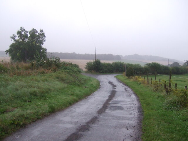
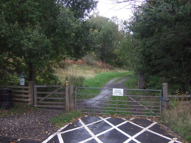
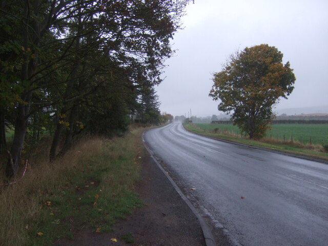
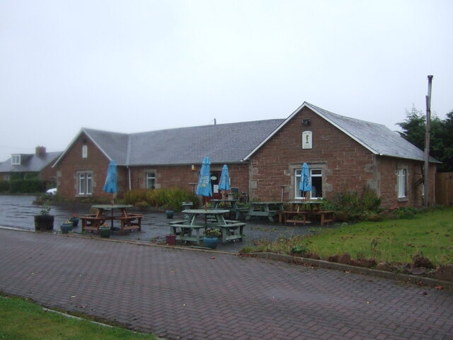
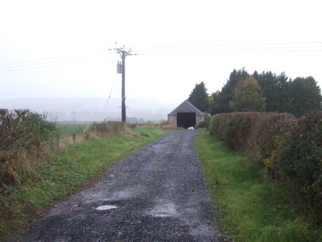
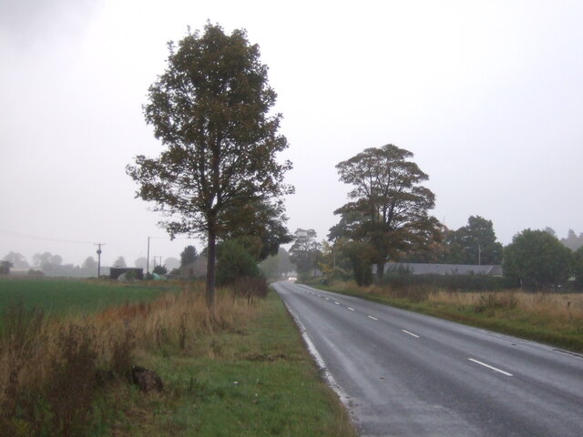
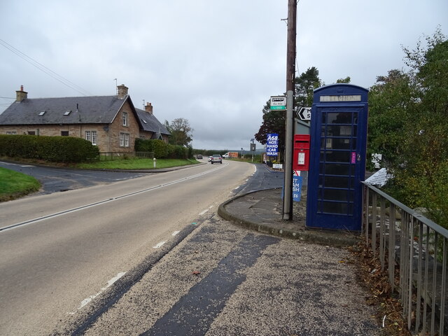
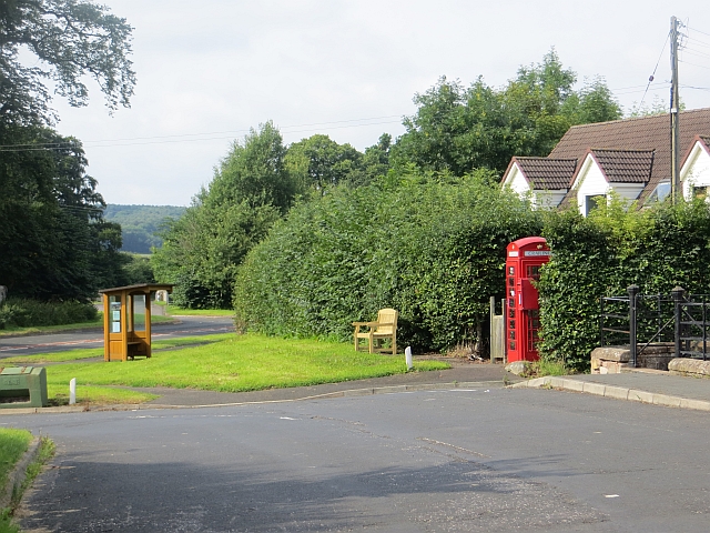
Stubcross Plantation Images
Images are sourced within 2km of 55.500689/-2.5185803 or Grid Reference NT6723. Thanks to Geograph Open Source API. All images are credited.


Stubcross Plantation is located at Grid Ref: NT6723 (Lat: 55.500689, Lng: -2.5185803)
Unitary Authority: The Scottish Borders
Police Authority: The Lothians and Scottish Borders
What 3 Words
///mouth.commit.handover. Near Jedburgh, Scottish Borders
Nearby Locations
Related Wikis
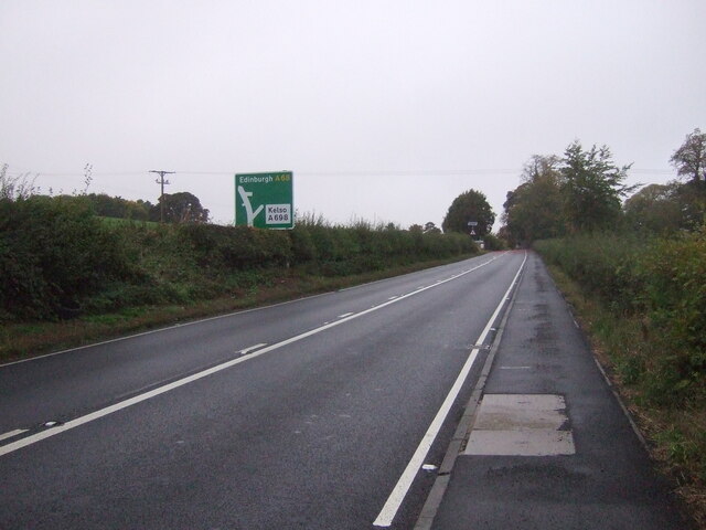
Crailing
Crailing is a village on the A698, in Teviotdale, 4m east of Jedburgh in the Scottish Borders area of Scotland, in the historic county of Roxburghshire...

Roxburghshire
Roxburghshire or the County of Roxburgh (Scottish Gaelic: Siorrachd Rosbroig) is a historic county and registration county in the Southern Uplands of Scotland...

Roxburgh, Ettrick and Lauderdale
Roxburgh, Ettrick and Lauderdale (Rosbrog, Eadaraig agus Srath Labhdair in Scottish Gaelic) is a lieutenancy area of Scotland. The lieutenancy area was...

Jedfoot railway station
Jedfoot railway station served the town of Jedburgh, Scottish Borders, Scotland from 1856 to 1948 on the Jedburgh Railway. == History == The station opened...
Nearby Amenities
Located within 500m of 55.500689,-2.5185803Have you been to Stubcross Plantation?
Leave your review of Stubcross Plantation below (or comments, questions and feedback).