Chestercleuch Plantation
Wood, Forest in Roxburghshire
Scotland
Chestercleuch Plantation
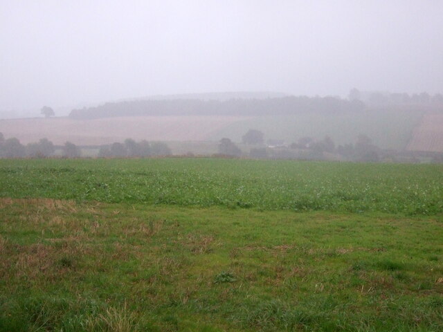
Chestercleuch Plantation is a picturesque woodland area located in Roxburghshire, Scotland. Spread over a vast expanse, this plantation is situated amidst the rolling hills and breathtaking landscapes of the Scottish Borders region. With its rich history and diverse ecosystem, Chestercleuch Plantation offers a tranquil escape for nature enthusiasts and outdoor adventurers alike.
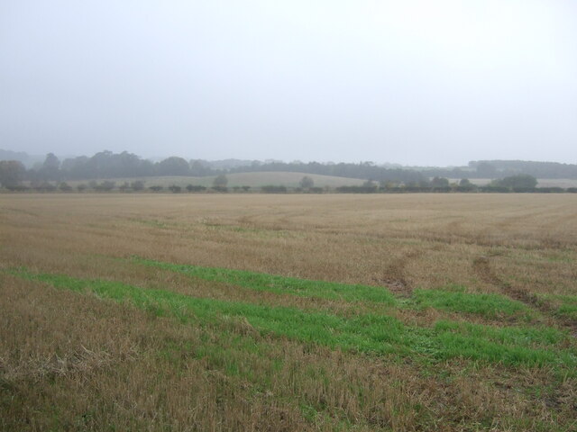
Covering an area of approximately [insert size], the plantation is primarily composed of native tree species such as oak, birch, and spruce. These trees create a dense canopy, providing a sheltered habitat for a variety of wildlife, including red squirrels, deer, and various bird species. The plantation's diverse flora and fauna make it a popular destination for birdwatchers and nature photographers.
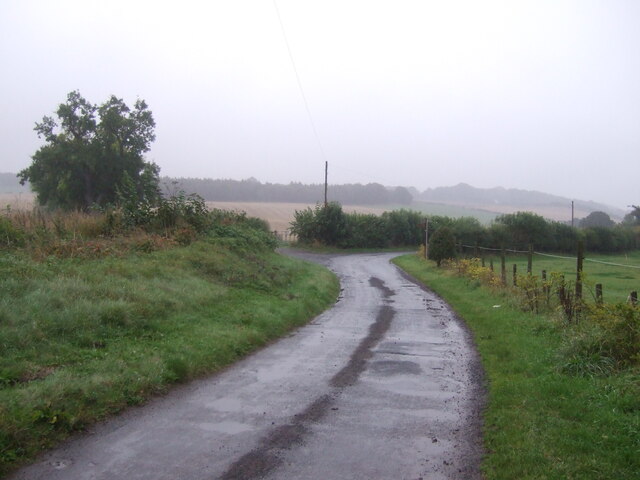
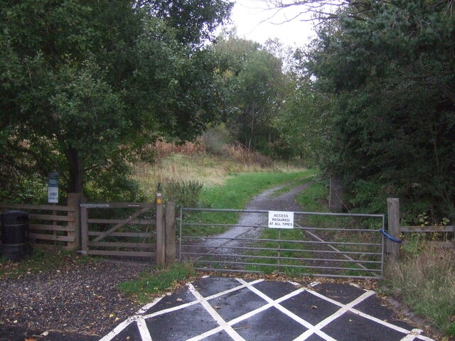
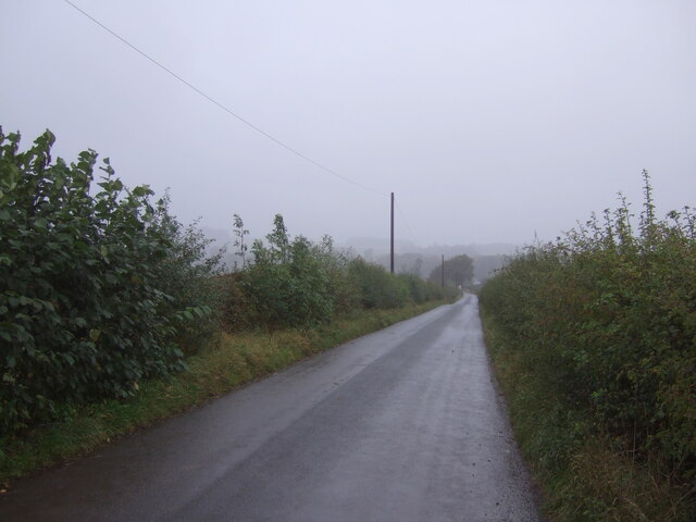
Visitors to Chestercleuch Plantation can explore its numerous trails and paths, which wind their way through the woodland, offering stunning views of the surrounding countryside. These trails cater to different fitness levels, making the plantation accessible to individuals of all ages and abilities. Along the way, visitors may come across historical landmarks, such as the remnants of old buildings or the occasional ancient tree, adding to the plantation's charm and intrigue.
Chestercleuch Plantation is managed by local forestry authorities, who ensure the preservation of its natural beauty and biodiversity. The plantation is open to the public year-round, allowing visitors to enjoy its splendor during all seasons. Whether it's a leisurely stroll, a family picnic, or a day of birdwatching, Chestercleuch Plantation offers a peaceful retreat where visitors can connect with nature and immerse themselves in the beauty of the Scottish countryside.
If you have any feedback on the listing, please let us know in the comments section below.
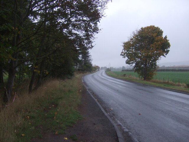
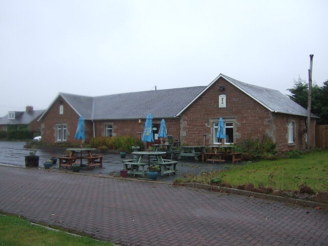
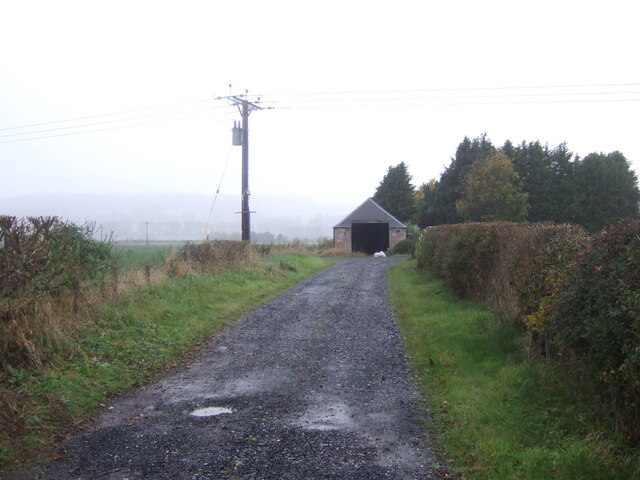
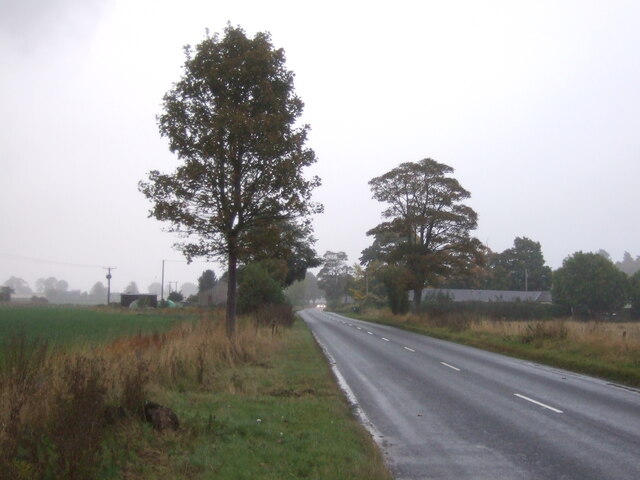
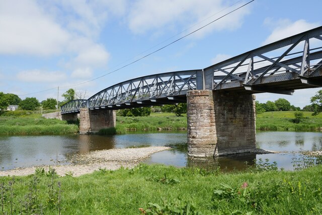
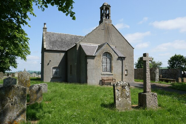
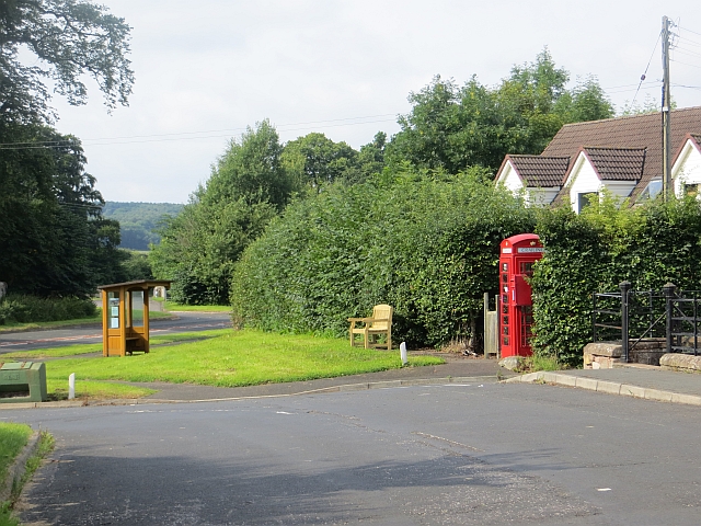
Chestercleuch Plantation Images
Images are sourced within 2km of 55.50473/-2.5169711 or Grid Reference NT6723. Thanks to Geograph Open Source API. All images are credited.


Chestercleuch Plantation is located at Grid Ref: NT6723 (Lat: 55.50473, Lng: -2.5169711)
Unitary Authority: The Scottish Borders
Police Authority: The Lothians and Scottish Borders
What 3 Words
///machinery.cleanest.drama. Near Jedburgh, Scottish Borders
Nearby Locations
Related Wikis
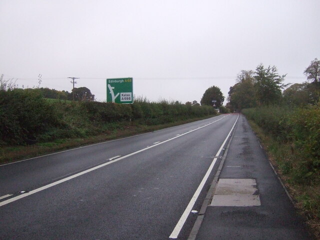
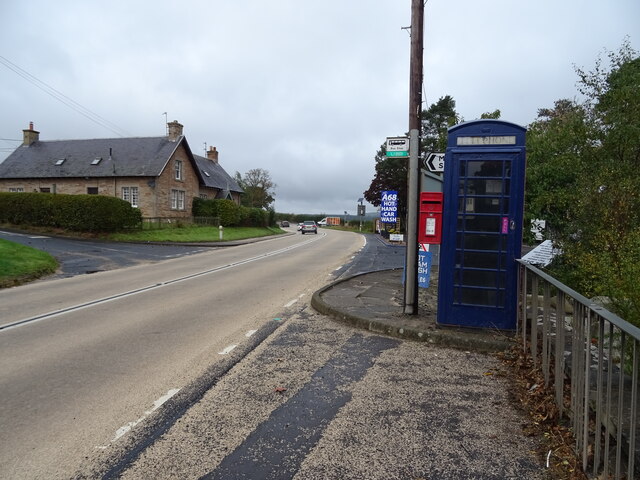
Crailing
Crailing is a village on the A698, in Teviotdale, 4m east of Jedburgh in the Scottish Borders area of Scotland, in the historic county of Roxburghshire...

Roxburghshire
Roxburghshire or the County of Roxburgh (Scottish Gaelic: Siorrachd Rosbroig) is a historic county and registration county in the Southern Uplands of Scotland...

Roxburgh, Ettrick and Lauderdale
Roxburgh, Ettrick and Lauderdale (Rosbrog, Eadaraig agus Srath Labhdair in Scottish Gaelic) is a lieutenancy area of Scotland. The lieutenancy area was...

Nisbet, Scottish Borders
Nisbet is a small hamlet on the B6400, in Roxburghshire, along the River Teviot, in the Scottish Borders area of Scotland. It is located 5.5 kilometres...

Jedfoot railway station
Jedfoot railway station served the town of Jedburgh, Scottish Borders, Scotland from 1856 to 1948 on the Jedburgh Railway. == History == The station opened...

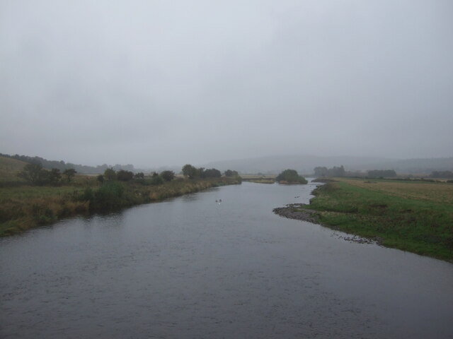
Jed Water
The Jed Water is a river and a tributary of the River Teviot in the Borders region of Scotland. In total the Jed Water is over 21.75 miles (35.00 km) long...

Bonjedward
Bonjedward (Scottish Gaelic: Bun Jedward) is a hamlet in the Scottish Borders area of Scotland, two miles north of Jedburgh where the Jed Water joins the...

Nisbet railway station
Nisbet railway station served the hamlet of Nisbet, Scottish Borders, Scotland from 1856 to 1948, on the Jedburgh Railway. == History == The station opened...
Nearby Amenities
Located within 500m of 55.50473,-2.5169711Have you been to Chestercleuch Plantation?
Leave your review of Chestercleuch Plantation below (or comments, questions and feedback).