The Strip

Wood, Forest in Roxburghshire

Scotland

The Strip

A phone box at Makerstoun It appears to be used as the village library.
A phone box at Makerstoun Credit: Walter Baxter

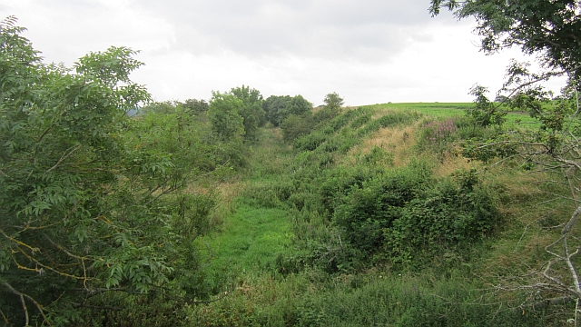
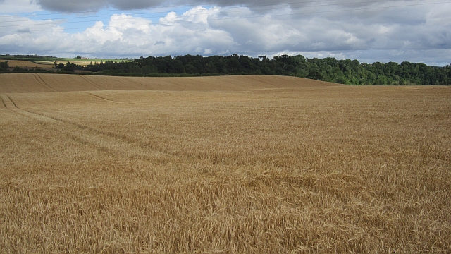
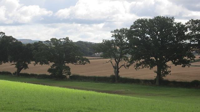
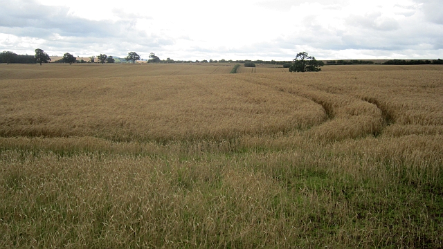
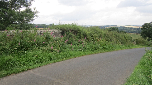
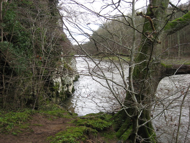
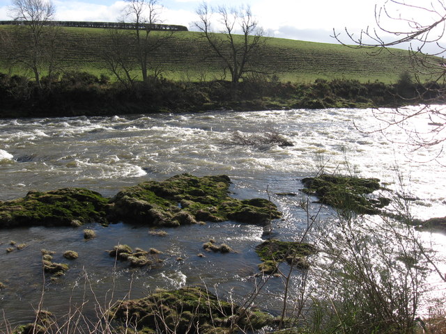
The Strip is a picturesque woodland area located in Roxburghshire, Scotland. Situated in the heart of the Scottish Borders, this enchanting forest is known for its natural beauty and rich biodiversity. Spanning over a vast area, The Strip is home to a variety of indigenous wildlife, including deer, squirrels, and a wide array of bird species.

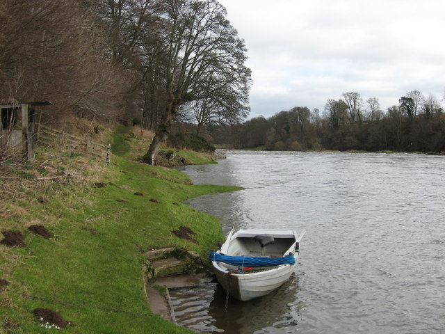
The woodland consists mainly of native trees such as oak, birch, and pine, creating a diverse and scenic landscape. The forest floor is covered in a thick carpet of moss and ferns, adding to the enchanting atmosphere. The Strip is intersected by several walking trails, allowing visitors to explore the area and immerse themselves in the tranquility of nature.

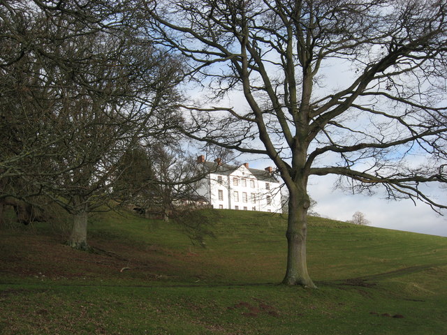
One of the highlights of The Strip is its historical significance. The forest has been a part of Scottish history for centuries, with remnants of ancient settlements and fortifications still visible to this day. These historical sites provide a glimpse into the rich heritage of the area and offer a unique opportunity for visitors to connect with the past.

The Strip is a popular destination for nature lovers and outdoor enthusiasts. Its peaceful ambiance and scenic beauty make it an ideal spot for walking, cycling, and wildlife spotting. Whether one is seeking a peaceful retreat or an adventure in the great outdoors, The Strip in Roxburghshire is sure to captivate and inspire all who visit.

If you have any feedback on the listing, please let us know in the comments section below.
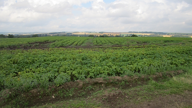
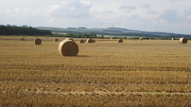
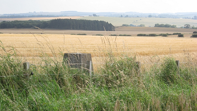
The Strip Images

Images are sourced within 2km of 55.584192/-2.5096869 or Grid Reference NT6732. Thanks to Geograph Open Source API. All images are credited.

A phone box at Makerstoun It appears to be used as the village library.
A phone box at Makerstoun
It appears to be used as the village library.
Makerstoun phone box The box is being used as a library.
Makerstoun phone box
The box is being used as a library.
A sundial at Makerstoun Parish Churchyard According to The Churches and Graveyards of Roxburghshire by G A C Binnie, the sundial and pedestal was gifted by General Sir Thomas Makdougall Brisbane, once Governor General of New South Wales.
A sundial at Makerstoun Parish Churchyard
According to The Churches and Graveyards of Roxburghshire by G A C Binnie, the sundial and pedestal was gifted by General Sir Thomas Makdougall Brisbane, once Governor General of New South Wales.
Roxburgh Newtown Sheep graze beside the Stockstruther Burn on land obviously unsuited to arable use.
Roxburgh Newtown
Sheep graze beside the Stockstruther Burn on land obviously unsuited to arable use.
Stockstruther Burn Flowing between steep banks towards the Tweed.
Stockstruther Burn
Flowing between steep banks towards the Tweed.
Kelso Branch Railway Overgrown railway trackbed at Roxburgh Newtown.
Kelso Branch Railway
Overgrown railway trackbed at Roxburgh Newtown.
Potatoes, Roxburgh Newtown
Round bales, Roxburgh After the barley harvest.
Round bales, Roxburgh
After the barley harvest.
Over Roxburgh triangulation pillar Between barley fields, the one I am standing in has been harvested, the other is still standing.
Over Roxburgh triangulation pillar
Between barley fields, the one I am standing in has been harvested, the other is still standing.
Barley, Trows Above the unseen River Tweed.
Barley, Trows
Above the unseen River Tweed.
Field, Trows A grass field in a mainly arable area.
Field, Trows
A grass field in a mainly arable area.
Water tower, Trows A water tower with a slate roof opposite the steadings at Trows.
Water tower, Trows
A water tower with a slate roof opposite the steadings at Trows.
Barley near Trows
Barley near Trows
Railway bridge, Roxburgh Newtown A road bridge over the Kelso Branch Railway.
Railway bridge, Roxburgh Newtown
A road bridge over the Kelso Branch Railway.
'Footpaths End' This footpath near Corbie Craigs by the River Tweed suddenly ends,needing one to detour somewhat. Unless of course you can walk on water.
'Footpaths End'
This footpath near Corbie Craigs by the River Tweed suddenly ends,needing one to detour somewhat. Unless of course you can walk on water.
Makerstoun House The house stands in a prominent position above the River Tweed.
Makerstoun House
The house stands in a prominent position above the River Tweed.
River Tweed Looking downstream from below Makerstoun House
River Tweed
Looking downstream from below Makerstoun House
Rough Water Rocky extrusions causing white water on the River Tweed downstream from Makerstoun House.
Rough Water
Rocky extrusions causing white water on the River Tweed downstream from Makerstoun House.
Show me another place!

The Strip is located at Grid Ref: NT6732 (Lat: 55.584192, Lng: -2.5096869)

Unitary Authority: The Scottish Borders

Police Authority: The Lothians and Scottish Borders

What 3 Words

///ranch.depravity.hotel. Near Kelso, Scottish Borders

Related Wikis

Makerstoun

Makerstoun is a parish in the Scottish Borders area of Scotland, as well as the historic county of Roxburghshire, 4 miles (6 km) south-west of Kelso. The...

Roxburgh railway station

Roxburgh railway station was on the Kelso Line, and served the village of Roxburgh, Scottish Borders, from 1850 to 1964. == History == The station was...

Roxburgh (village)

Roxburgh (Gaelic, Rosbrog) is a village off the A699, by the River Teviot, near Kelso in the Scottish Borders area of Scotland. It should not be confused...

Wallace's Tower

Wallace's Tower is a ruined 16th-century L-plan tower house, about 3 miles (4.8 km) south west Kelso, Scottish Borders, Scotland, in Roxburgh, west of...

Nearby Amenities

Located within 500m of 55.584192,-2.5096869
Girdle Knowe
Natural: peak
Lat/Long: 55.585539/-2.5102723
The data included in this document is from www.openstreetmap.org. The data is made available under ODbL.

Have you been to The Strip?

Leave your review of The Strip below (or comments, questions and feedback).