Manorhill

Settlement in Roxburghshire

Scotland

Manorhill

Winter cereal crop, Roxburgh Moor Towards two small woodlands.
Winter cereal crop, Roxburgh Moor Credit: JThomas

Manorhill is a small village located in the Roxburghshire region of Scotland. Situated amidst picturesque landscapes, it is nestled in the southern part of the country, near the border with England. The village is known for its tranquility and natural beauty, making it a popular destination for nature enthusiasts and those seeking a peaceful retreat.

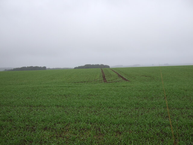
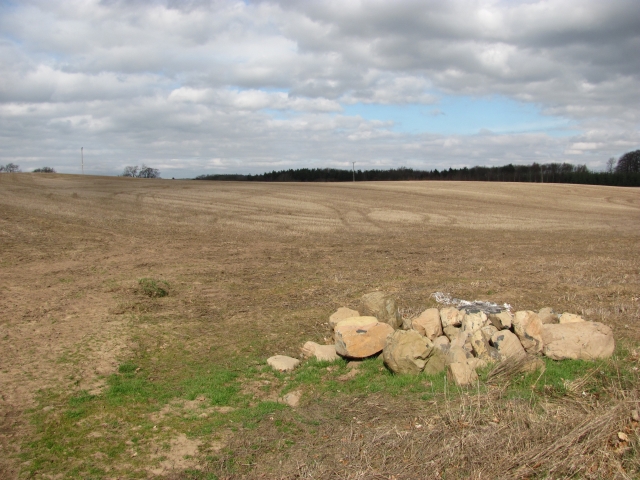
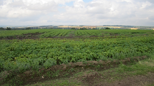
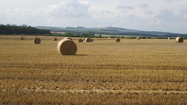
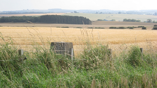
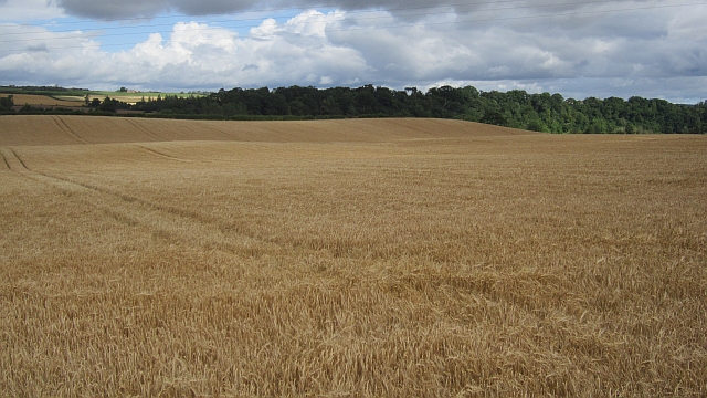
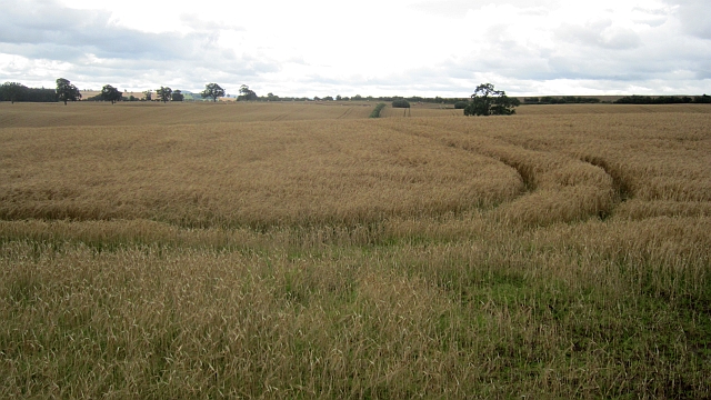
Despite its small size, Manorhill has a close-knit community that takes pride in its heritage. The village offers a range of amenities, including a local grocery store, a village hall, and a primary school, providing essential services to its residents. The surrounding area is predominantly farmland, with rolling hills and stunning vistas that attract visitors throughout the year.

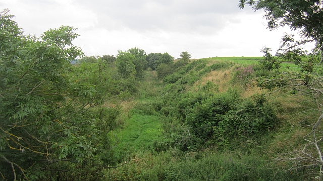
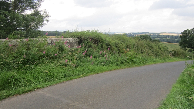
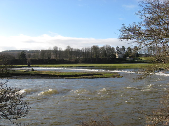
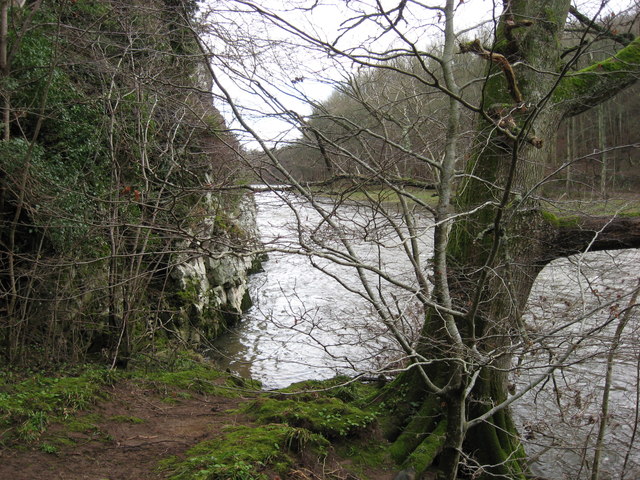
Outdoor activities are abundant in Manorhill, with ample opportunities for hiking, cycling, and fishing in the nearby rivers and lochs. The village is also surrounded by several nature reserves and forests, offering a chance to observe the local wildlife and enjoy the serenity of the countryside.

For history enthusiasts, Manorhill is located near several significant historical sites, including ancient castles and ruins. Visitors can explore these landmarks and learn about the region's rich history and cultural heritage.

Access to Manorhill is convenient, with good road connections to nearby towns and cities. The village's proximity to major transport routes ensures easy accessibility to urban centers while maintaining its peaceful rural charm.

In conclusion, Manorhill is a small but vibrant village in Roxburghshire, Scotland, offering a tranquil escape amidst breathtaking natural beauty and a close-knit community. It is an ideal destination for those seeking a peaceful retreat or an opportunity to explore Scotland's countryside and historical sites.

If you have any feedback on the listing, please let us know in the comments section below.

Manorhill Images

Images are sourced within 2km of 55.580525/-2.5250099 or Grid Reference NT6732. Thanks to Geograph Open Source API. All images are credited.

Winter cereal crop, Roxburgh Moor Towards two small woodlands.
Winter cereal crop, Roxburgh Moor
Towards two small woodlands.
A phone box at Makerstoun It appears to be used as the village library.
A phone box at Makerstoun
It appears to be used as the village library.
Makerstoun phone box The box is being used as a library.
Makerstoun phone box
The box is being used as a library.
A sundial at Makerstoun Parish Churchyard According to The Churches and Graveyards of Roxburghshire by G A C Binnie, the sundial and pedestal was gifted by General Sir Thomas Makdougall Brisbane, once Governor General of New South Wales.
A sundial at Makerstoun Parish Churchyard
According to The Churches and Graveyards of Roxburghshire by G A C Binnie, the sundial and pedestal was gifted by General Sir Thomas Makdougall Brisbane, once Governor General of New South Wales.
Arable land, Rutherford Burnside Several fields here have recently accumulated piles of stones. This suggests a recent switch to arable use.
Arable land, Rutherford Burnside
Several fields here have recently accumulated piles of stones. This suggests a recent switch to arable use.
Rutherford Burnside Newly emerging cereal crop in dry conditions.
Rutherford Burnside
Newly emerging cereal crop in dry conditions.
Tweed flood plain near Rutherford Grassland beside the Tweed.
Tweed flood plain near Rutherford
Grassland beside the Tweed.
Roxburgh Newtown Sheep graze beside the Stockstruther Burn on land obviously unsuited to arable use.
Roxburgh Newtown
Sheep graze beside the Stockstruther Burn on land obviously unsuited to arable use.
Stockstruther Burn Flowing between steep banks towards the Tweed.
Stockstruther Burn
Flowing between steep banks towards the Tweed.
Kelso Branch Railway Overgrown railway trackbed at Roxburgh Newtown.
Kelso Branch Railway
Overgrown railway trackbed at Roxburgh Newtown.
Potatoes, Roxburgh Newtown
Round bales, Roxburgh After the barley harvest.
Round bales, Roxburgh
After the barley harvest.
Over Roxburgh triangulation pillar Between barley fields, the one I am standing in has been harvested, the other is still standing.
Over Roxburgh triangulation pillar
Between barley fields, the one I am standing in has been harvested, the other is still standing.
Barley, Trows Above the unseen River Tweed.
Barley, Trows
Above the unseen River Tweed.
Barley near Trows
Barley near Trows
Railway bridge, Roxburgh Newtown A road bridge over the Kelso Branch Railway.
Railway bridge, Roxburgh Newtown
A road bridge over the Kelso Branch Railway.
The Weir at Rutherford Lodge Crossing the Tweed from bank to bank this weir may well be the longest on the river. In spate conditions it's certainly one of the noisiest.
The Weir at Rutherford Lodge
Crossing the Tweed from bank to bank this weir may well be the longest on the river. In spate conditions it's certainly one of the noisiest.
'Footpaths End' This footpath near Corbie Craigs by the River Tweed suddenly ends,needing one to detour somewhat. Unless of course you can walk on water.
'Footpaths End'
This footpath near Corbie Craigs by the River Tweed suddenly ends,needing one to detour somewhat. Unless of course you can walk on water.
Show me another place!

Manorhill is located at Grid Ref: NT6732 (Lat: 55.580525, Lng: -2.5250099)

Unitary Authority: The Scottish Borders

Police Authority: The Lothians and Scottish Borders

What 3 Words

///primary.sands.caravans. Near Kelso, Scottish Borders

Related Wikis

Makerstoun

Makerstoun is a parish in the Scottish Borders area of Scotland, as well as the historic county of Roxburghshire, 4 miles (6 km) south-west of Kelso.The...

Rutherford railway station

Rutherford railway station served the parish of Maxton, Roxburghshire, Scotland from 1851 to 1964 on the Kelso Line. == History == The station opened in...

Borders Abbeys Way

The Borders Abbeys Way is a long-distance footpath in the Scottish Borders area of Scotland. It is a circular walkway and is 109 kilometres (68 mi) in...

Roxburgh railway station

Roxburgh railway station was on the Kelso Line, and served the village of Roxburgh, Scottish Borders, from 1850 to 1964. == History == The station was...

Nearby Amenities

Located within 500m of 55.580525,-2.5250099
Chapel
Historic: ruins
Lat/Long: 55.5777042/-2.5227312
Noexit: yes
Lat/Long: 55.5772771/-2.5215248
Power: pole
Lat/Long: 55.5816894/-2.5260325
Power: pole
Lat/Long: 55.5821304/-2.5255081
Power: pole
Lat/Long: 55.5825666/-2.5249858
Power: pole
Lat/Long: 55.5830004/-2.5244571
Power: pole
Lat/Long: 55.5831594/-2.5242674
Power: pole
Lat/Long: 55.5835836/-2.5238027
Power: pole
Lat/Long: 55.5835197/-2.5229201
Power: pole
Lat/Long: 55.5841137/-2.5285779
Power: pole
Lat/Long: 55.5830149/-2.5274118
Power: pole
Lat/Long: 55.5824714/-2.5268298
Power: pole
Lat/Long: 55.5809508/-2.525248
Power: pole
Lat/Long: 55.5802615/-2.5245232
Power: pole
Lat/Long: 55.5794397/-2.5236556
Power: pole
Lat/Long: 55.5796955/-2.5232913
Power: pole
Lat/Long: 55.5800265/-2.5228199
Power: pole
Lat/Long: 55.5803676/-2.5223509
Power: pole
Lat/Long: 55.5798289/-2.5234722
Power: pole
Lat/Long: 55.5804206/-2.5235021
Power: pole
Lat/Long: 55.5809941/-2.5235298
Power: pole
Lat/Long: 55.5815834/-2.5235532
Power: pole
Lat/Long: 55.5821509/-2.5235874
The data included in this document is from www.openstreetmap.org. The data is made available under ODbL.

Have you been to Manorhill?

Leave your review of Manorhill below (or comments, questions and feedback).