Manordeilo

Settlement in Carmarthenshire

Wales

Manordeilo

Cyffordd o heolydd bach / A junction of minor roads Cyffordd o heolydd bach ger Ffarm Glanrhydsaeson.

A junction of minor roads near Glanrhydsaeson Farm (trans. riverbank of the ford of the English).
Cyffordd o heolydd bach / A junction of minor roads Credit: Alan Richards

Manordeilo is a small village located in the county of Carmarthenshire, Wales. Situated in the picturesque Teifi Valley, it is nestled between rolling hills and lush green meadows, offering stunning natural scenery. With a population of around 300 residents, Manordeilo exudes a tranquil and close-knit community atmosphere.

The village is steeped in history, with its name originating from a medieval Welsh mansion that stood on the site. Today, the ruins of the manor can still be seen, adding a touch of historical charm to the area. The surrounding countryside is dotted with ancient landmarks, including burial chambers and standing stones, which bear testament to Manordeilo's rich past.

Despite its small size, Manordeilo offers essential amenities for its residents. These include a primary school, a village hall, and a charming parish church. The village is also home to a cozy pub, where locals and visitors can gather to enjoy a pint of traditional Welsh ale.

Manordeilo's idyllic location makes it an attractive destination for outdoor enthusiasts. Numerous walking paths and trails traverse the surrounding countryside, providing opportunities for leisurely strolls or more challenging hikes. The nearby River Teifi is renowned for its excellent fishing, attracting anglers from far and wide.

With its peaceful ambiance, historical significance, and stunning natural beauty, Manordeilo is a hidden gem in the heart of Carmarthenshire. Whether exploring its ancient landmarks, immersing oneself in nature, or simply enjoying the warmth of the community, visitors to Manordeilo are sure to be captivated by its charm.

If you have any feedback on the listing, please let us know in the comments section below.
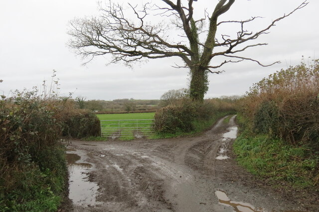
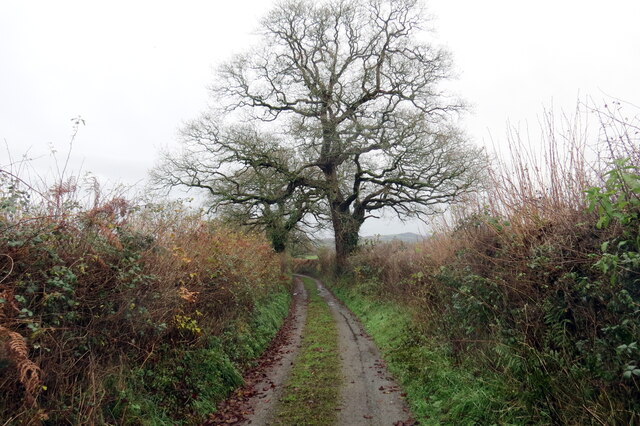
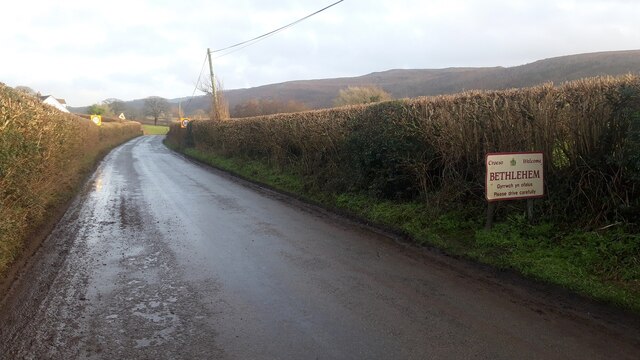
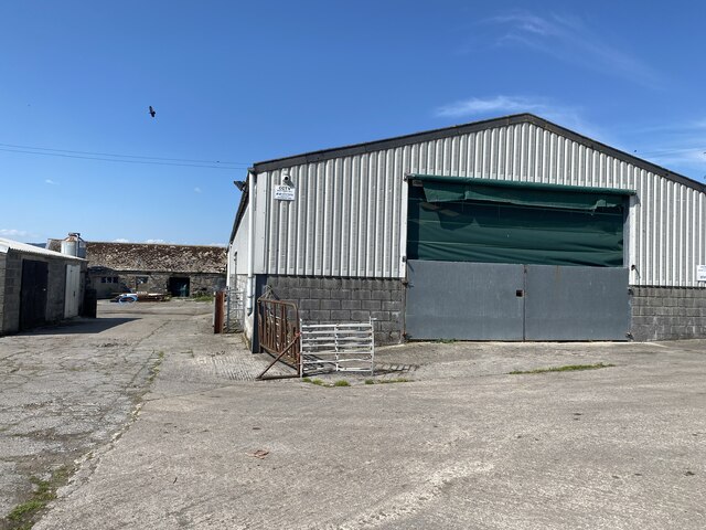
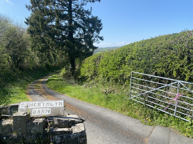
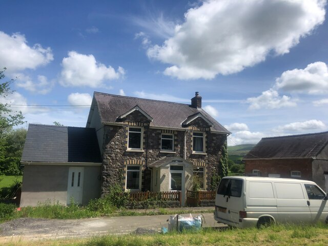
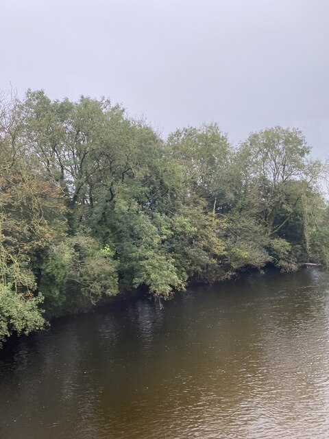
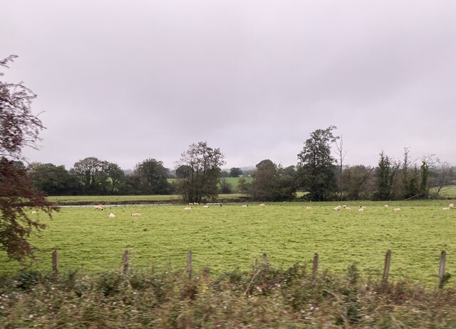
Manordeilo Images

Images are sourced within 2km of 51.92315/-3.928259 or Grid Reference SN6726. Thanks to Geograph Open Source API. All images are credited.

Cyffordd o heolydd bach / A junction of minor roads Cyffordd o heolydd bach ger Ffarm Glanrhydsaeson.

A junction of minor roads near Glanrhydsaeson Farm (trans. riverbank of the ford of the English).
Cyffordd o heolydd bach / A junction of minor roads
Cyffordd o heolydd bach ger Ffarm Glanrhydsaeson. A junction of minor roads near Glanrhydsaeson Farm (trans. riverbank of the ford of the English).
Coed deri ar heol fach / Oak trees on a minor road Coed deri ar heol fach yn mynd i gyfeiriad yr A40.

Oak trees on a minor road heading towards the A40.
Coed deri ar heol fach / Oak trees on a minor road
Coed deri ar heol fach yn mynd i gyfeiriad yr A40. Oak trees on a minor road heading towards the A40.
Cyffordd T ar yr A40 / T junction on the A40 Heol fach yn cwrdd â'r A40.

A minor road joins the A40.
Cyffordd T ar yr A40 / T junction on the A40
Heol fach yn cwrdd â'r A40. A minor road joins the A40.
Hen heol ddiwyneb  / Old unsurfaced road Hen heol ddiwyneb ger Ffarm Cefn-glasfryn. Yn anffodus, ar adeg ysgrifennu hwn mae'r rhannau o'r ffordd wedi eu rhwystro.

An old unsurfaced road near Cefn-glasfryn Farm (trans. green hill ridge). Unfortunately, at the time of writing sections of the road are obstructed.
Hen heol ddiwyneb / Old unsurfaced road
Hen heol ddiwyneb ger Ffarm Cefn-glasfryn. Yn anffodus, ar adeg ysgrifennu hwn mae'r rhannau o'r ffordd wedi eu rhwystro. An old unsurfaced road near Cefn-glasfryn Farm (trans. green hill ridge). Unfortunately, at the time of writing sections of the road are obstructed.
Hen heol ddiwyneb / Old unsurfaced road Hen heol ddiwyneb ger Ffarm Cefn-glasfryn. Yn anffodus, ar adeg ysgrifennu hwn mae'r rhannau o'r ffordd wedi eu rhwystro.

An old unsurfaced road near Cefn-glasfryn Farm (trans. green hill ridge). Unfortunately, at the time of writing sections of the road are obstructed.
Hen heol ddiwyneb / Old unsurfaced road
Hen heol ddiwyneb ger Ffarm Cefn-glasfryn. Yn anffodus, ar adeg ysgrifennu hwn mae'r rhannau o'r ffordd wedi eu rhwystro. An old unsurfaced road near Cefn-glasfryn Farm (trans. green hill ridge). Unfortunately, at the time of writing sections of the road are obstructed.
Llwybr yn gadael yr heol / Path exits the road Llwybr cyhoeddus yn gadael yr heol ger anhedd-dy o'r enw Llwyn-y-brain.

A public footpath exits the road near a property known as Llwyn-y-brain (trans. grove of the crows).
Llwybr yn gadael yr heol / Path exits the road
Llwybr cyhoeddus yn gadael yr heol ger anhedd-dy o'r enw Llwyn-y-brain. A public footpath exits the road near a property known as Llwyn-y-brain (trans. grove of the crows).
Cyffordd ger Cefnglasfryn / Junction  near Cefnglasfryn Cyffordd ger treflan o'r enw Cefnglasfryn. 

A junction near a hamlet known as Cefnglasfryn (trans. greenhill ridge).
Cyffordd ger Cefnglasfryn / Junction near Cefnglasfryn
Cyffordd ger treflan o'r enw Cefnglasfryn. A junction near a hamlet known as Cefnglasfryn (trans. greenhill ridge).
Rhyd Nant Erddyl / Nant Erddyl ford Llwybr troed cyhoeddus yn rhydio Nant Erddyl. Yn anffodus, ar adeg ysgrifennu hwn mae'r llwybr wedi ei rwystro.

A public footpath fords Nant Erddyl. Unfortunately, at the time of writing the path is obstructed.
Rhyd Nant Erddyl / Nant Erddyl ford
Llwybr troed cyhoeddus yn rhydio Nant Erddyl. Yn anffodus, ar adeg ysgrifennu hwn mae'r llwybr wedi ei rwystro. A public footpath fords Nant Erddyl. Unfortunately, at the time of writing the path is obstructed.
Approaching Bethlehem from the West
Llwynmendy Uchaf Farm
Entrance to Cwmcrymlyn Barn
Pant Neuadd House by the A40 on the outskirts of Manordeilo
Pant Neuadd
House by the A40 on the outskirts of Manordeilo
A row of houses at Manordeilo At the end of the row is a former Calvinist Methodist Chapel, Capel y Dyffryn
A row of houses at Manordeilo
At the end of the row is a former Calvinist Methodist Chapel, Capel y Dyffryn
Tywi Valley south of Manordeilo The Swansea to Shrewsbury railway line runs across this valley
Tywi Valley south of Manordeilo
The Swansea to Shrewsbury railway line runs across this valley
Ordnance Survey Cut Mark This OS cut mark can be found on the concrete gatepost NW side of the road. It marks a point 140.690m above mean sea level.
Ordnance Survey Cut Mark
This OS cut mark can be found on the concrete gatepost NW side of the road. It marks a point 140.690m above mean sea level.
Ordnance Survey Cut Mark This OS cut mark can be found on Cefn Bach Cottage. It marks a point 84.917m above mean sea level.
Ordnance Survey Cut Mark
This OS cut mark can be found on Cefn Bach Cottage. It marks a point 84.917m above mean sea level.
Tree-lined Afon Towy
Sheep near the banks of Afon Tywi
Show me another place!

Manordeilo is located at Grid Ref: SN6726 (Lat: 51.92315, Lng: -3.928259)

Unitary Authority: Carmarthenshire

Police Authority: Dyfed Powys

What 3 Words

///adventure.increases.pioneered. Near Llansadwrn, Carmarthenshire

Related Wikis

Glanrhyd Halt railway station

Glanrhyd railway station served the town of Llandeilo, Carmarthenshire, Wales, from 1858 to 1955 on the Vale of Towy Railway. == History == The station...

Manordeilo

Manordeilo is a village in Carmarthenshire, Wales, near the River Tywi. == External links == Manordeilo and Salem Community Council website

Manordeilo and Salem

Manordeilo and Salem (Welsh: Maenordeilo a Salem) is a community located in Carmarthenshire, Wales. The population taken at the 2011 census was 1,754.The...

Glanrhyd Bridge collapse

On 19 October 1987, a train on the Heart of Wales line derailed and fell into the River Towy due to the partial collapse of the Glanrhyd Bridge near Llandeilo...

Nearby Amenities

Located within 500m of 51.92315,-3.928259
Manordeilo
Place: village
Wikidata: Q6751431
Lat/Long: 51.923216/-3.9263776
Barrier: yes
Lat/Long: 51.9229287/-3.9293833
Post Box
Collection Times: Mo-Fr 17:30; Sa 11:00
Post Box Type: lamp
Ref: SA19 202
Royal Cypher: EIIR
Royal Cypher Wikidata: Q33102113
Lat/Long: 51.9226738/-3.9267444
Direction: SE
Generator Method: photovoltaic
Generator Output Electricity: yes
Generator Solar Modules: 15
Generator Source: solar
Generator Type: solar_photovoltaic_panel
Location: roof
Power: generator
Lat/Long: 51.9221456/-3.9269096
Direction: 170
Generator Method: photovoltaic
Generator Output Electricity: yes
Generator Solar Modules: 8
Generator Source: solar
Generator Type: solar_photovoltaic_panel
Location: roof
Power: generator
Lat/Long: 51.9220407/-3.9272096
Direction: SW
Generator Method: photovoltaic
Generator Output Electricity: yes
Generator Solar Modules: 8
Generator Source: solar
Generator Type: solar_photovoltaic_panel
Location: roof
Power: generator
Lat/Long: 51.9223031/-3.9293953
Direction: SW
Generator Method: photovoltaic
Generator Output Electricity: yes
Generator Solar Modules: 8
Generator Source: solar
Generator Type: solar_photovoltaic_panel
Location: roof
Power: generator
Lat/Long: 51.922323/-3.9293648
The data included in this document is from www.openstreetmap.org. The data is made available under ODbL.

Have you been to Manordeilo?

Leave your review of Manordeilo below (or comments, questions and feedback).