Uppercleuch Plantation
Wood, Forest in Roxburghshire
Scotland
Uppercleuch Plantation
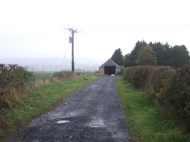
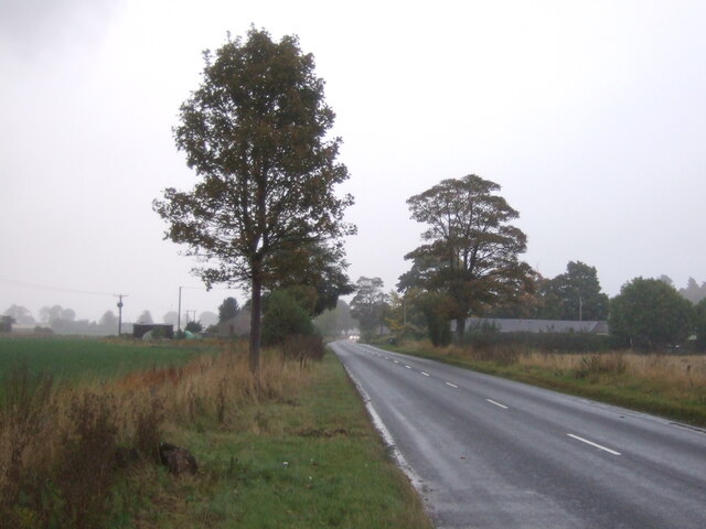
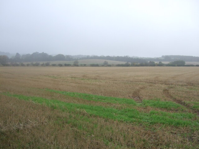
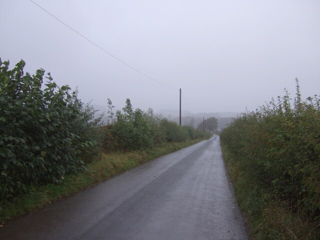
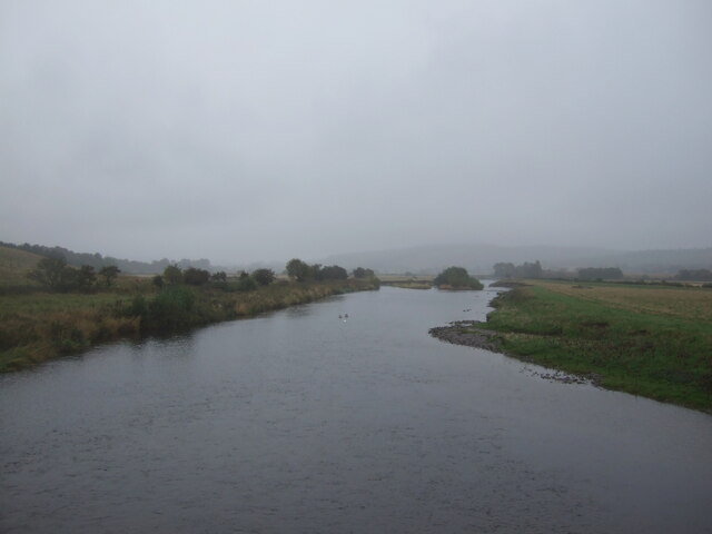
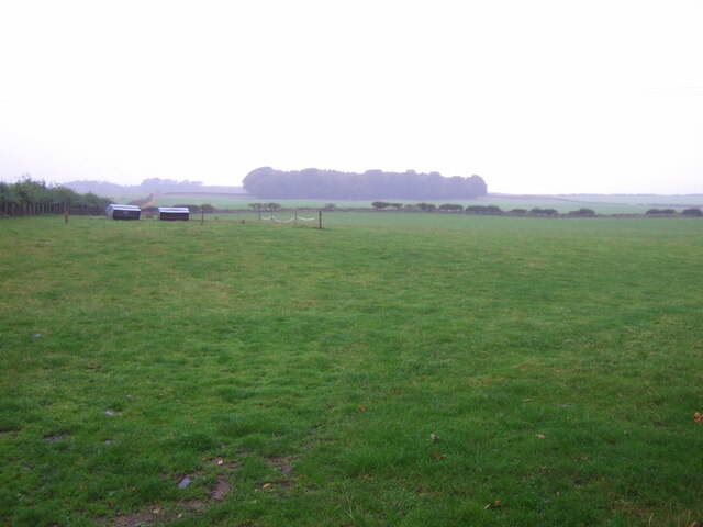
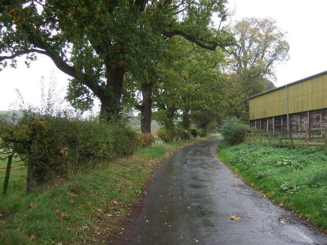
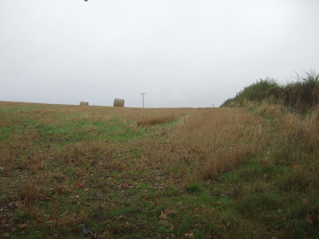
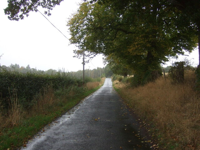
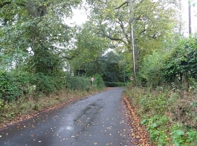
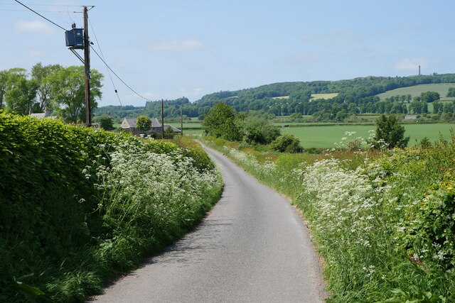
Uppercleuch Plantation is a sprawling woodland area located in Roxburghshire, Scotland. Situated amidst the picturesque countryside, it covers a significant expanse of land and is characterized by its dense and diverse forest. The plantation is renowned for its varied tree species, including oak, birch, beech, and pine, which lend the area a rich and lush appearance.
The woodland offers a haven for numerous wildlife species, making it a popular spot for nature enthusiasts and birdwatchers. Visitors can often spot an array of bird species, including woodpeckers, owls, and various songbirds, as well as smaller mammals such as squirrels and rabbits. The tranquil atmosphere and abundance of flora and fauna make Uppercleuch Plantation an ideal location for outdoor activities such as hiking, walking, and picnicking.
The plantation is well-maintained, with clearly marked trails and paths that allow visitors to explore its vastness. The towering trees provide shade and shelter, creating a peaceful and serene environment. Additionally, the plantation is committed to preserving its natural heritage, and efforts are made to conserve and protect the woodland ecosystem.
Uppercleuch Plantation is an idyllic destination for those seeking a peaceful retreat in nature. Its beautiful woodland, teeming with life, offers a refreshing escape from the hustle and bustle of everyday life. Whether one is an avid hiker, a bird lover, or simply in search of tranquility, this plantation provides an enchanting experience in the heart of Roxburghshire.
If you have any feedback on the listing, please let us know in the comments section below.
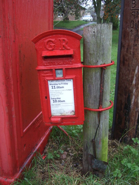
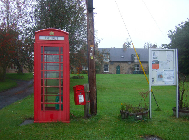
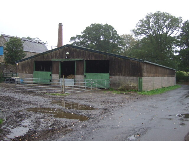
Uppercleuch Plantation Images
Images are sourced within 2km of 55.529516/-2.5286865 or Grid Reference NT6626. Thanks to Geograph Open Source API. All images are credited.
Uppercleuch Plantation is located at Grid Ref: NT6626 (Lat: 55.529516, Lng: -2.5286865)
Unitary Authority: The Scottish Borders
Police Authority: The Lothians and Scottish Borders
What 3 Words
///really.foot.wedge. Near Jedburgh, Scottish Borders
Nearby Locations
Related Wikis

Nisbet railway station
Nisbet railway station served the hamlet of Nisbet, Scottish Borders, Scotland from 1856 to 1948, on the Jedburgh Railway. == History == The station opened...

Waterloo Monument
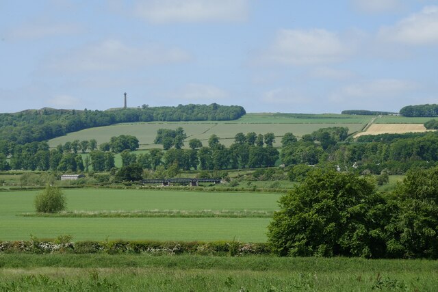
The Waterloo Monument near Ancrum in the Scottish Borders is a 150-foot tower, built between 1817 and 1824 to commemorate the Battle of Waterloo. It was...

Peniel Heugh
Peniel Heugh (237 m) is a hill near Ancrum and Nisbet in the Scottish Borders area of Scotland. On it stands the Waterloo Monument. == Geology == The heugh...

Nisbet, Scottish Borders
Nisbet is a small hamlet on the B6400, in Roxburghshire, along the River Teviot, in the Scottish Borders area of Scotland. It is located 5.5 kilometres...

Jed Water
The Jed Water is a river and a tributary of the River Teviot in the Borders region of Scotland. In total the Jed Water is over 21.75 miles (35.00 km) long...

Jedfoot railway station
Jedfoot railway station served the town of Jedburgh, Scottish Borders, Scotland from 1856 to 1948 on the Jedburgh Railway. == History == The station opened...

Monteviot House
Monteviot House is the early 18th century home of the Marquess of Lothian, the politician better known as Michael Ancram. It is located on the River Teviot...

Bonjedward
Bonjedward (Scottish Gaelic: Bun Jedward) is a hamlet in the Scottish Borders area of Scotland, two miles north of Jedburgh where the Jed Water joins the...
Nearby Amenities
Located within 500m of 55.529516,-2.5286865Have you been to Uppercleuch Plantation?
Leave your review of Uppercleuch Plantation below (or comments, questions and feedback).